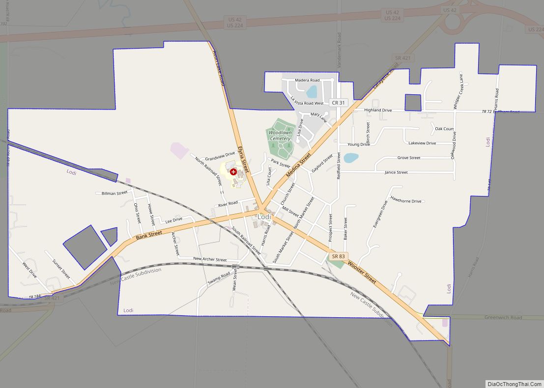
Lodi is a village in Harrisville Township, Medina County, Ohio, United States. It is located southwest of the City of Medina along U.S. Route 42. As of the 2010 census, the population was 2,746.
| Name: | Lodi village |
|---|---|
| LSAD Code: | 47 |
| LSAD Description: | village (suffix) |
| State: | Ohio |
| County: | Medina County |
| Founded: | 1811; 212 years ago (1811) |
| Incorporated: | 1891; 132 years ago (1891) (village) |
| Elevation: | 928 ft (283 m) |
| Total Area: | 2.26 sq mi (5.85 km²) |
| Land Area: | 2.25 sq mi (5.83 km²) |
| Water Area: | 0.01 sq mi (0.02 km²) |
| Total Population: | 2,746 |
| Population Density: | 1,219.90/sq mi (470.95/km²) |
| ZIP code: | 44254 |
| Area code: | 330 |
| FIPS code: | 3944604 |
| GNISfeature ID: | 1061436 |
| Website: | www.villageoflodi.com |
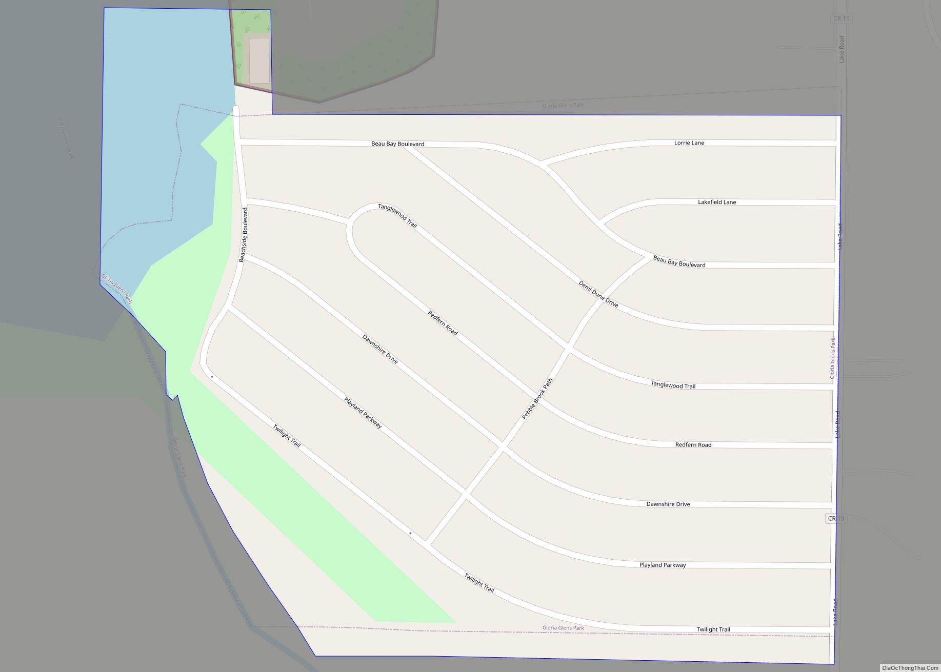
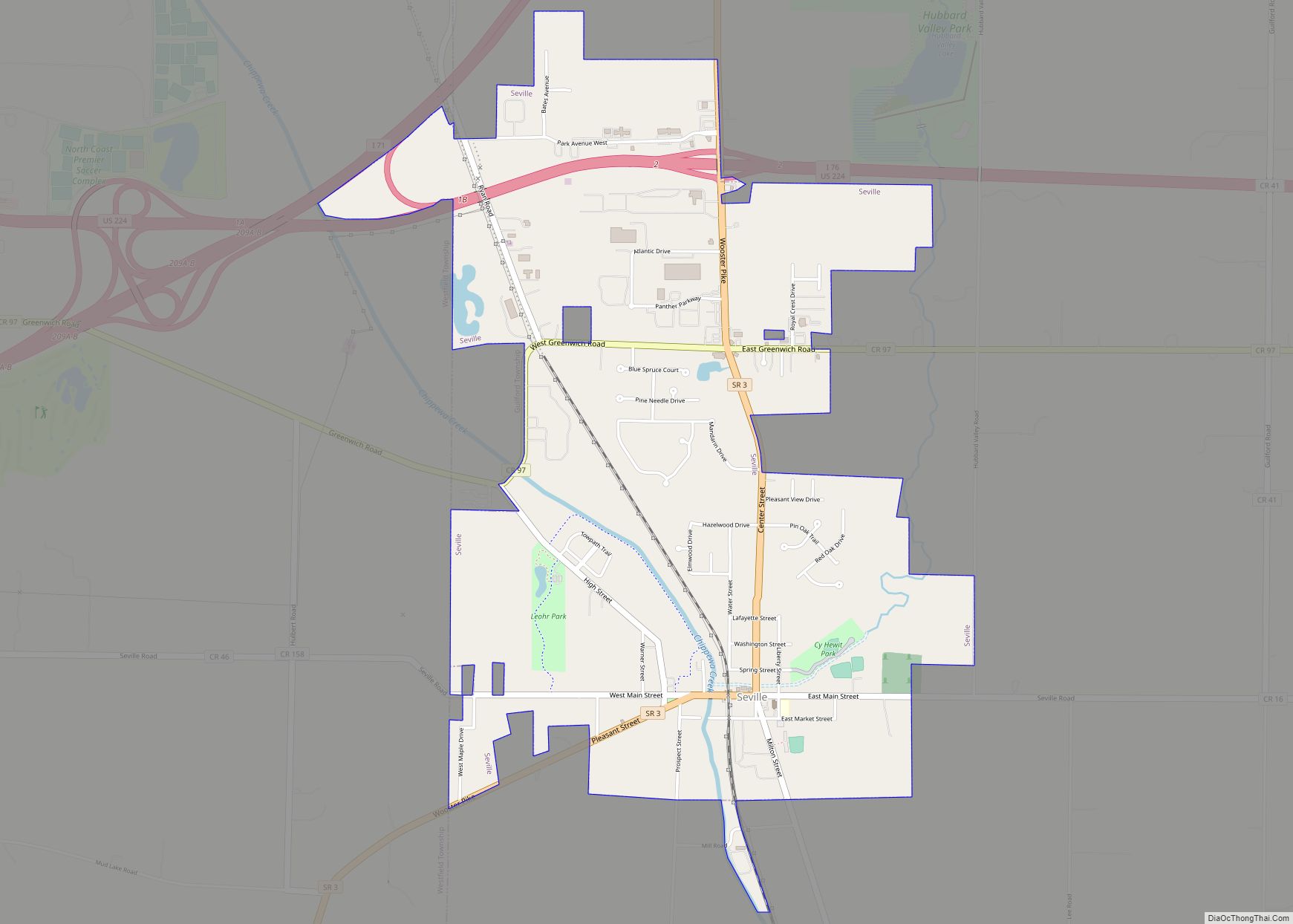
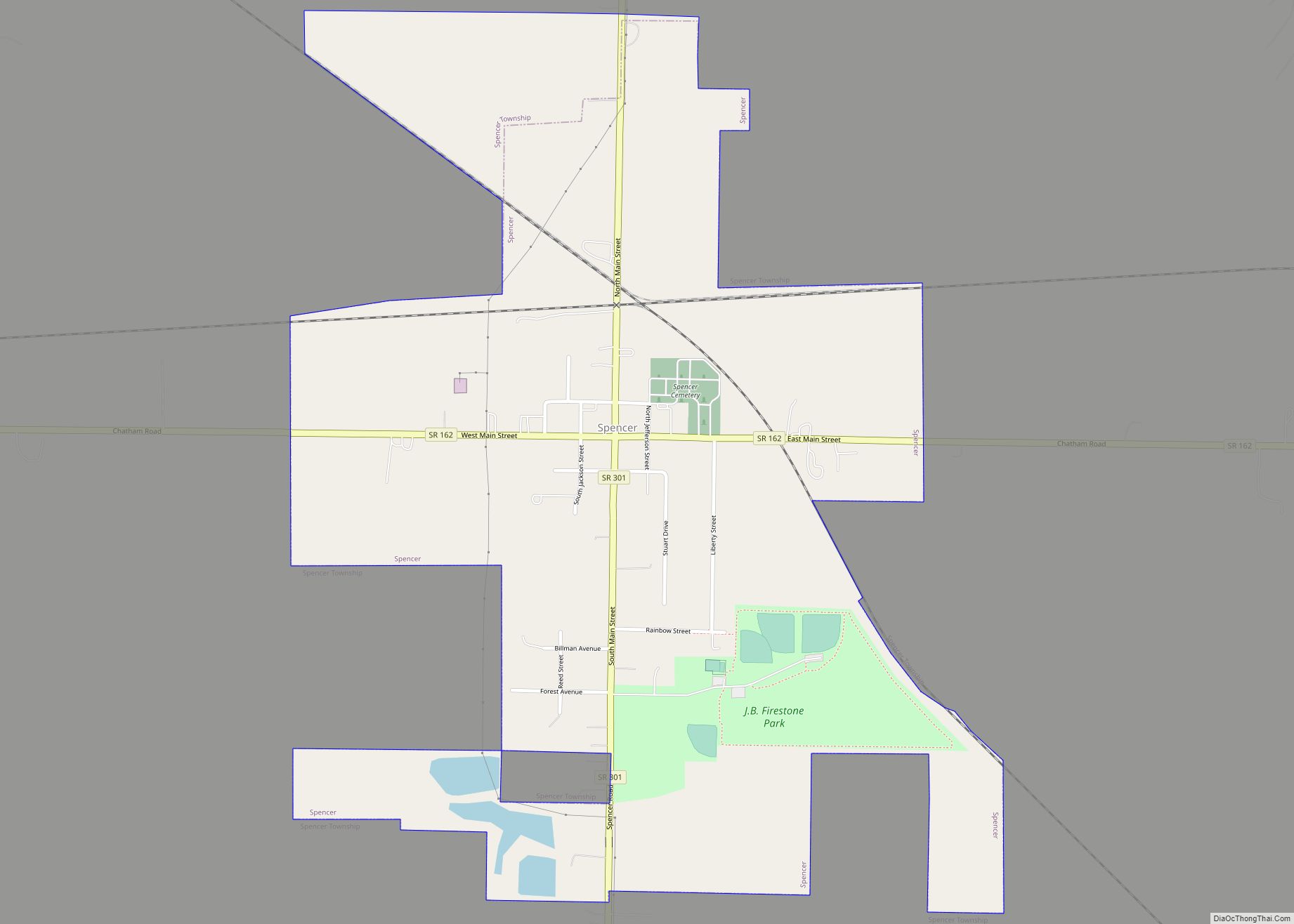
Online Interactive Map
Click on ![]() to view map in "full screen" mode.
to view map in "full screen" mode.
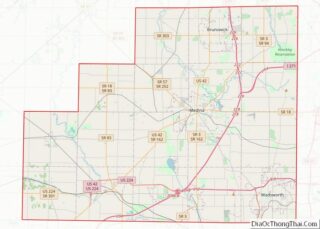
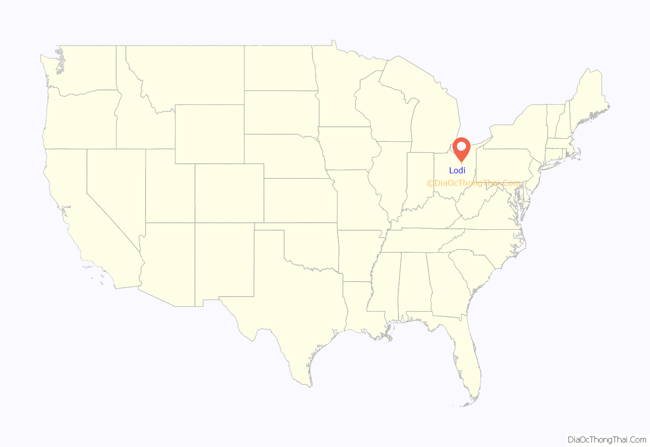
Lodi location map. Where is Lodi village?
History
Founded in 1811, Lodi is the oldest settlement in Medina County. It was originally called Harrisville, in honor of Judge Joseph Harris. The community’s name echoes that of the city of Lodi in northern Italy, where Napoleon won a victory in 1796. The year of incorporation was 1891.
An early pioneer named Redfield (after whom Redfield Street is named) sculpted the modern route to Medina through trees. It was later deemed too curvy, so the first governmental road through the region was straightened. In later years, this road became U.S. Route 42.
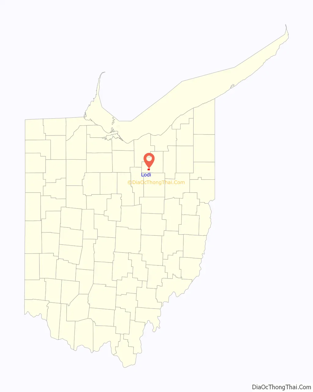
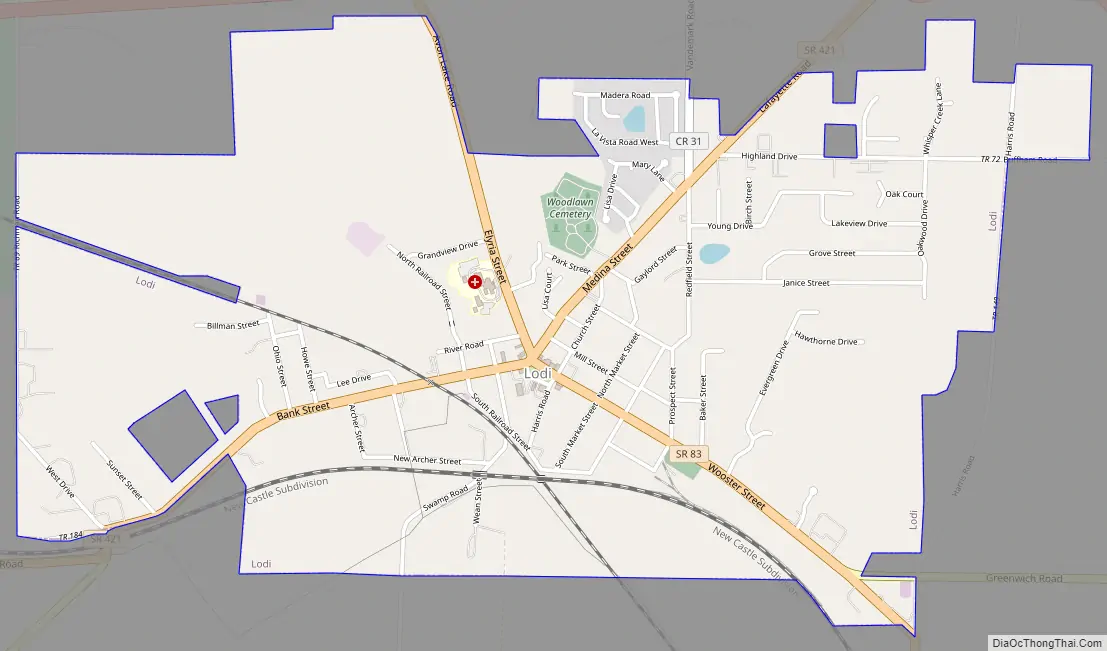
Lodi Road Map
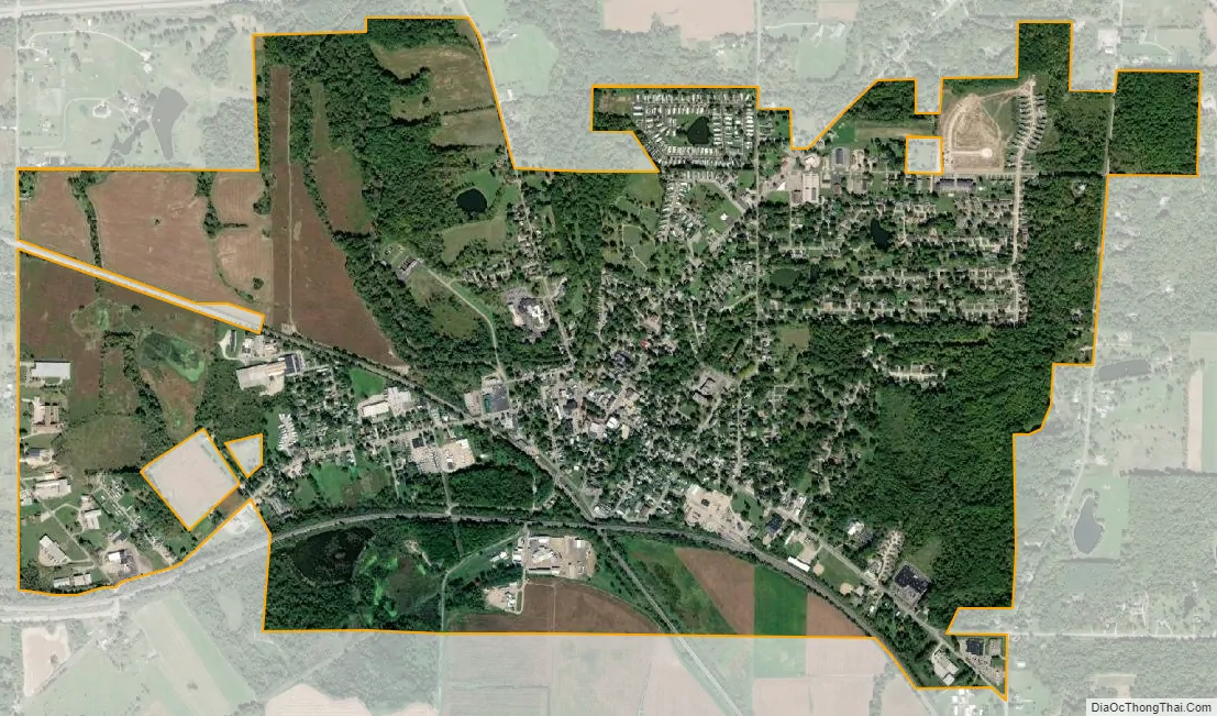
Lodi city Satellite Map
Geography
Lodi is located at 41°1′59″N 82°0′42″W / 41.03306°N 82.01167°W / 41.03306; -82.01167 (41.033059, -82.011774), along the East Fork of the Black River.
According to the United States Census Bureau, the village has a total area of 2.26 square miles (5.85 km), of which 2.25 square miles (5.83 km) is land and 0.01 square miles (0.03 km) is water.
The East Fork of the Black River enters the village from the north and turns back north to empty into Lake Erie, as Lodi is on the north–south continental divide. Rain water runs off in either a northerly direction to Lake Erie or a southernly direction to the Ohio River.
See also
Map of Ohio State and its subdivision:- Adams
- Allen
- Ashland
- Ashtabula
- Athens
- Auglaize
- Belmont
- Brown
- Butler
- Carroll
- Champaign
- Clark
- Clermont
- Clinton
- Columbiana
- Coshocton
- Crawford
- Cuyahoga
- Darke
- Defiance
- Delaware
- Erie
- Fairfield
- Fayette
- Franklin
- Fulton
- Gallia
- Geauga
- Greene
- Guernsey
- Hamilton
- Hancock
- Hardin
- Harrison
- Henry
- Highland
- Hocking
- Holmes
- Huron
- Jackson
- Jefferson
- Knox
- Lake
- Lake Erie
- Lawrence
- Licking
- Logan
- Lorain
- Lucas
- Madison
- Mahoning
- Marion
- Medina
- Meigs
- Mercer
- Miami
- Monroe
- Montgomery
- Morgan
- Morrow
- Muskingum
- Noble
- Ottawa
- Paulding
- Perry
- Pickaway
- Pike
- Portage
- Preble
- Putnam
- Richland
- Ross
- Sandusky
- Scioto
- Seneca
- Shelby
- Stark
- Summit
- Trumbull
- Tuscarawas
- Union
- Van Wert
- Vinton
- Warren
- Washington
- Wayne
- Williams
- Wood
- Wyandot
- Alabama
- Alaska
- Arizona
- Arkansas
- California
- Colorado
- Connecticut
- Delaware
- District of Columbia
- Florida
- Georgia
- Hawaii
- Idaho
- Illinois
- Indiana
- Iowa
- Kansas
- Kentucky
- Louisiana
- Maine
- Maryland
- Massachusetts
- Michigan
- Minnesota
- Mississippi
- Missouri
- Montana
- Nebraska
- Nevada
- New Hampshire
- New Jersey
- New Mexico
- New York
- North Carolina
- North Dakota
- Ohio
- Oklahoma
- Oregon
- Pennsylvania
- Rhode Island
- South Carolina
- South Dakota
- Tennessee
- Texas
- Utah
- Vermont
- Virginia
- Washington
- West Virginia
- Wisconsin
- Wyoming