Mantua (/ˈmænəweɪ/ MAN-ə-way) is a village in northern Portage County, Ohio, United States, along the Cuyahoga River. The population was 1,001 at the time of the 2020 census. It is part of the Akron metropolitan area. It was formed from portions of Mantua Township in the Connecticut Western Reserve.
| Name: | Mantua village |
|---|---|
| LSAD Code: | 47 |
| LSAD Description: | village (suffix) |
| State: | Ohio |
| County: | Portage County |
| Elevation: | 1,148 ft (350 m) |
| Total Area: | 1.44 sq mi (3.72 km²) |
| Land Area: | 1.42 sq mi (3.68 km²) |
| Water Area: | 0.01 sq mi (0.04 km²) |
| Total Population: | 1,001 |
| Population Density: | 704.43/sq mi (271.99/km²) |
| ZIP code: | 44255 |
| Area code: | 330 |
| FIPS code: | 3947180 |
| GNISfeature ID: | 1061147 |
| Website: | mantuavillage.com |
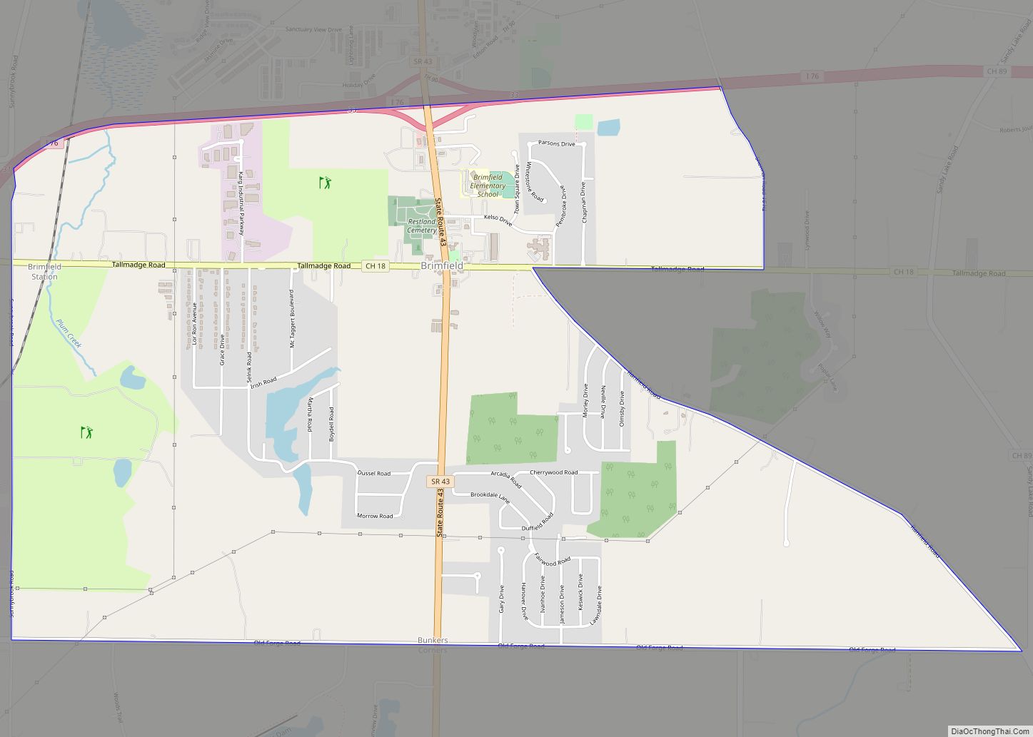
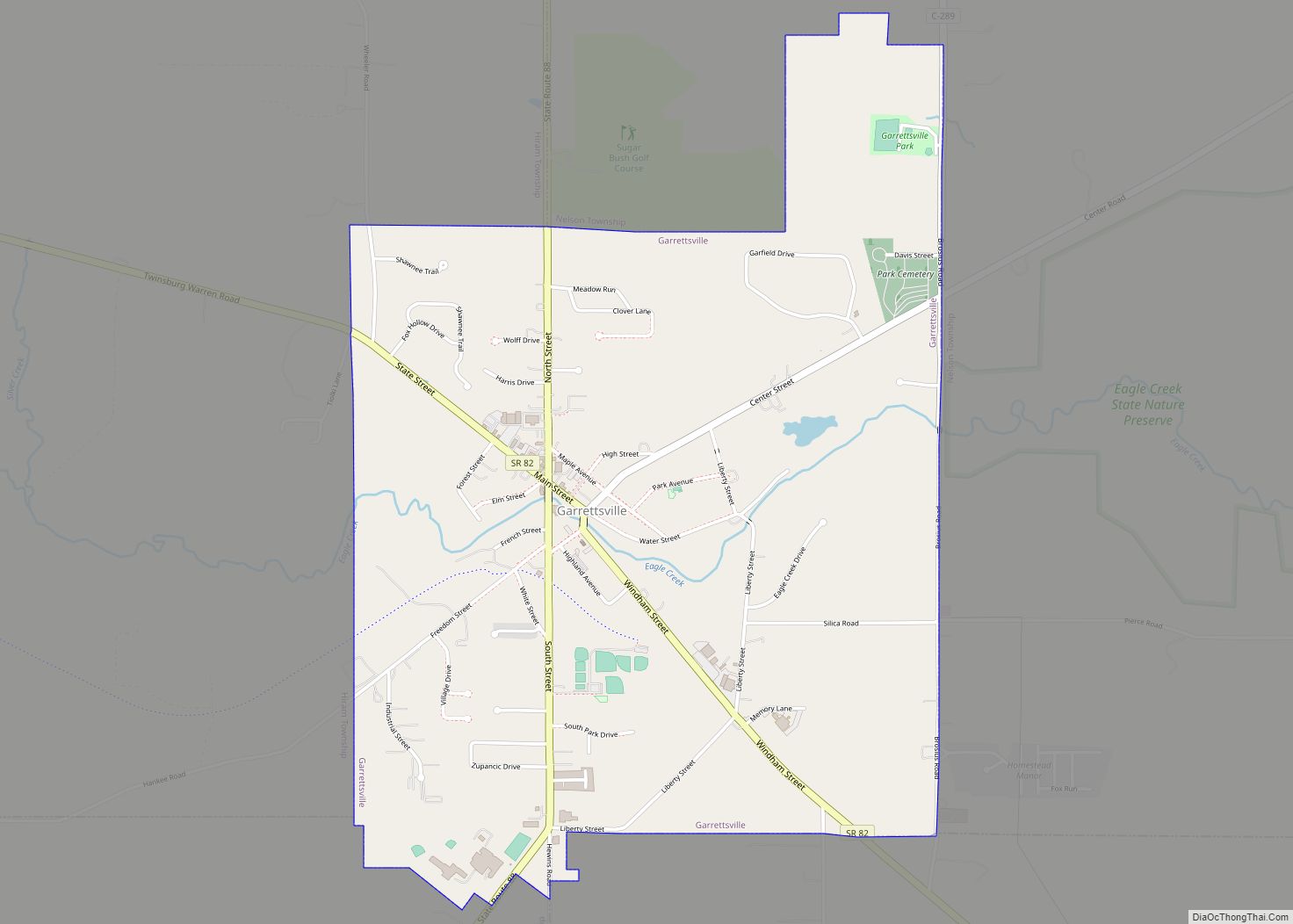
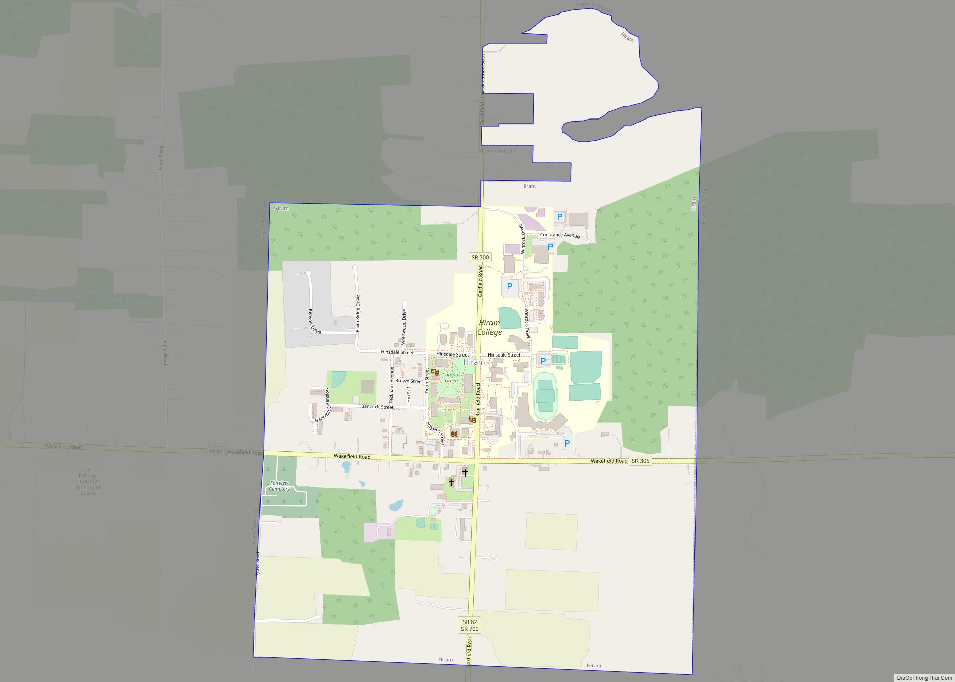
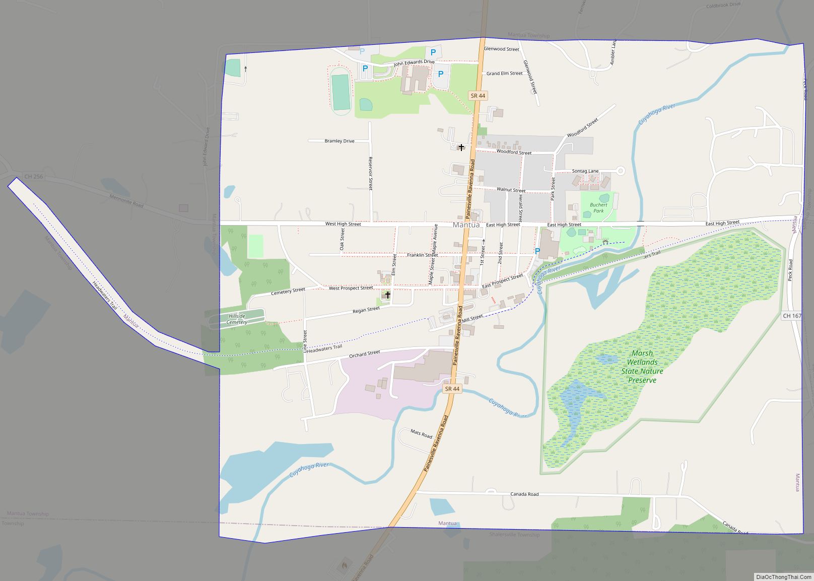
Online Interactive Map
Click on ![]() to view map in "full screen" mode.
to view map in "full screen" mode.
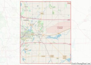
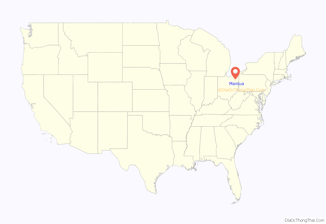
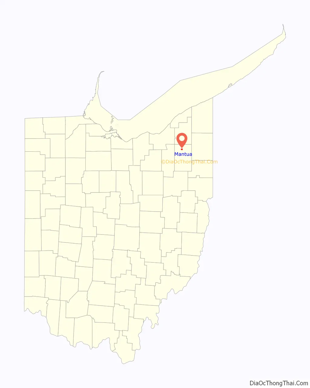
Mantua location map. Where is Mantua village?
History
The first settlers came to Mantua Township in 1798. The area that eventually became the village of Mantua was owned by the Tappan family of Tappanville, later Ravenna, Ohio. After they made the Grand Tour of Europe in 1842, they renamed their northern county properties Mantua, and also renamed Tappanville, Ravenna, after the two towns in Italy they had come to love. The town was laid out in the 1840s as Mantua Station, a stop on the Cleveland and Mahoning Valley Railroad. It was incorporated as Mantua in 1898. Like the township, the village is named after the Italian city of Mantua. in honor of Napoleon, who had captured Mantua in early 1797 at the end of the Siege of Mantua.
Mantua includes three properties on the National Register of Historic Places: the Horace L. Hine House, the Mantua Station Brick Commercial District, and the William H. Crafts House.
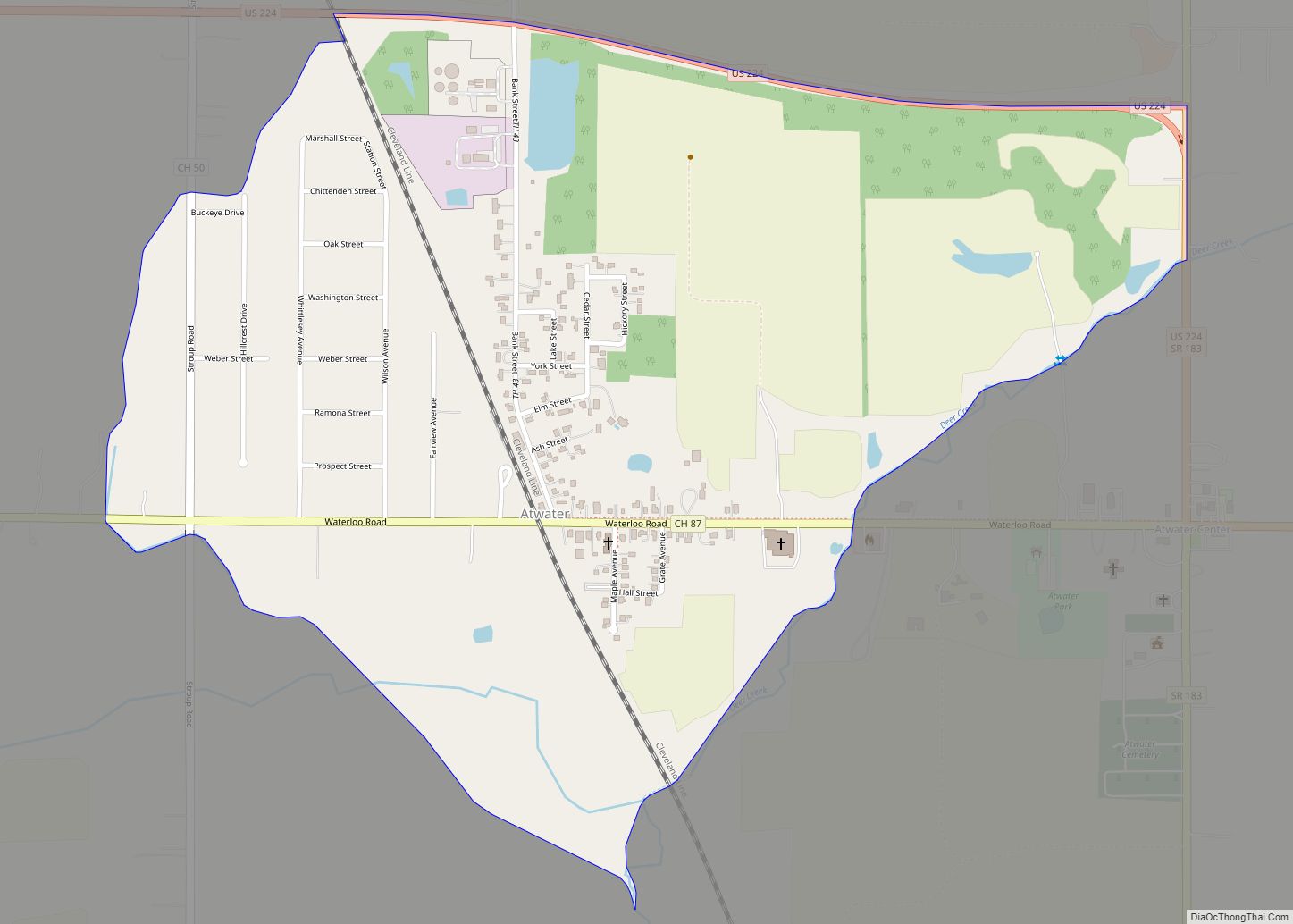
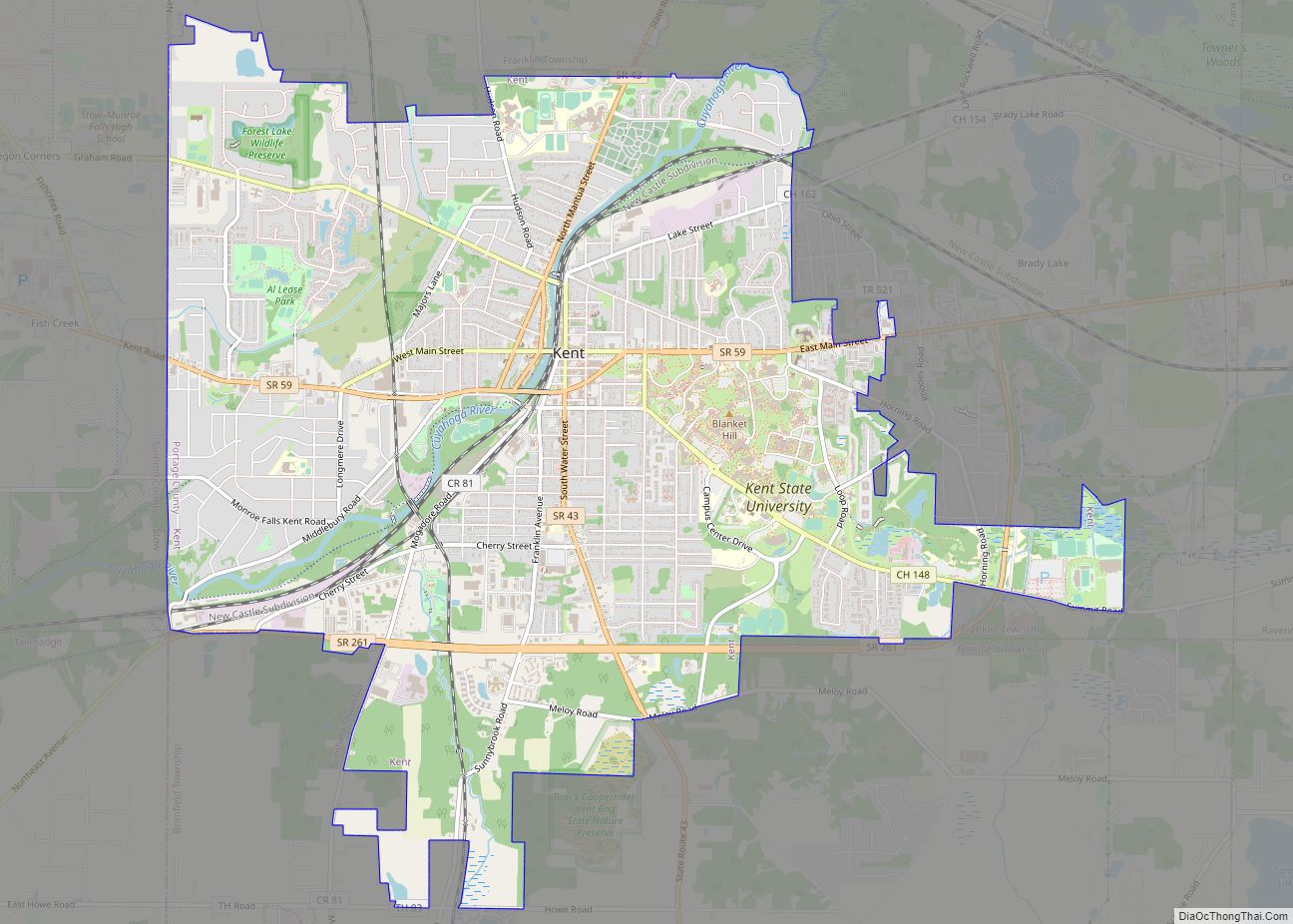
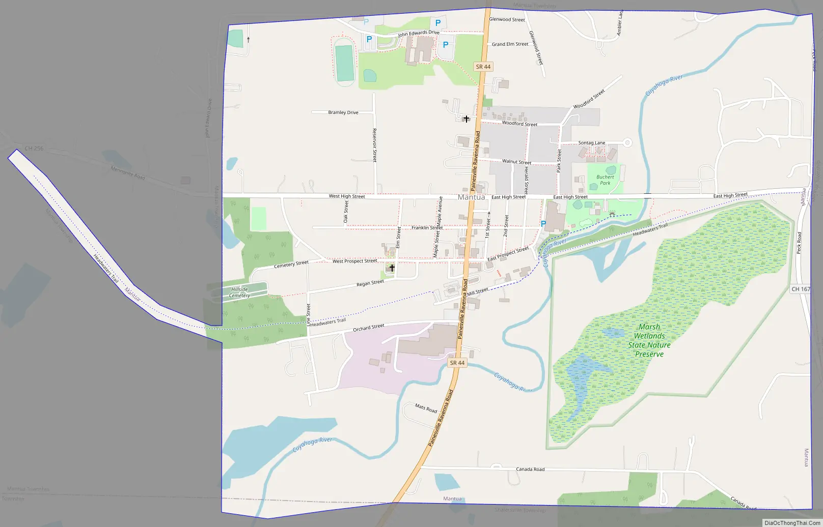
Mantua Road Map
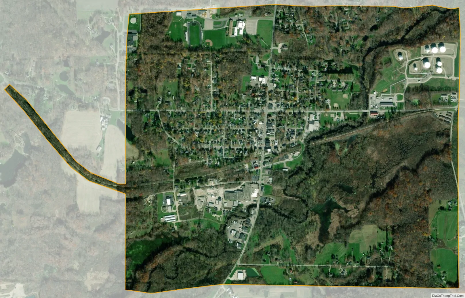
Mantua city Satellite Map
Geography
According to the United States Census Bureau, the village has a total area of 1.42 square miles (3.68 km), of which 1.40 square miles (3.63 km) is land and 0.02 square miles (0.05 km) is water. The Cuyahoga River flows through the southern part of the village.
See also
Map of Ohio State and its subdivision:- Adams
- Allen
- Ashland
- Ashtabula
- Athens
- Auglaize
- Belmont
- Brown
- Butler
- Carroll
- Champaign
- Clark
- Clermont
- Clinton
- Columbiana
- Coshocton
- Crawford
- Cuyahoga
- Darke
- Defiance
- Delaware
- Erie
- Fairfield
- Fayette
- Franklin
- Fulton
- Gallia
- Geauga
- Greene
- Guernsey
- Hamilton
- Hancock
- Hardin
- Harrison
- Henry
- Highland
- Hocking
- Holmes
- Huron
- Jackson
- Jefferson
- Knox
- Lake
- Lake Erie
- Lawrence
- Licking
- Logan
- Lorain
- Lucas
- Madison
- Mahoning
- Marion
- Medina
- Meigs
- Mercer
- Miami
- Monroe
- Montgomery
- Morgan
- Morrow
- Muskingum
- Noble
- Ottawa
- Paulding
- Perry
- Pickaway
- Pike
- Portage
- Preble
- Putnam
- Richland
- Ross
- Sandusky
- Scioto
- Seneca
- Shelby
- Stark
- Summit
- Trumbull
- Tuscarawas
- Union
- Van Wert
- Vinton
- Warren
- Washington
- Wayne
- Williams
- Wood
- Wyandot
- Alabama
- Alaska
- Arizona
- Arkansas
- California
- Colorado
- Connecticut
- Delaware
- District of Columbia
- Florida
- Georgia
- Hawaii
- Idaho
- Illinois
- Indiana
- Iowa
- Kansas
- Kentucky
- Louisiana
- Maine
- Maryland
- Massachusetts
- Michigan
- Minnesota
- Mississippi
- Missouri
- Montana
- Nebraska
- Nevada
- New Hampshire
- New Jersey
- New Mexico
- New York
- North Carolina
- North Dakota
- Ohio
- Oklahoma
- Oregon
- Pennsylvania
- Rhode Island
- South Carolina
- South Dakota
- Tennessee
- Texas
- Utah
- Vermont
- Virginia
- Washington
- West Virginia
- Wisconsin
- Wyoming