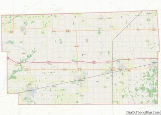
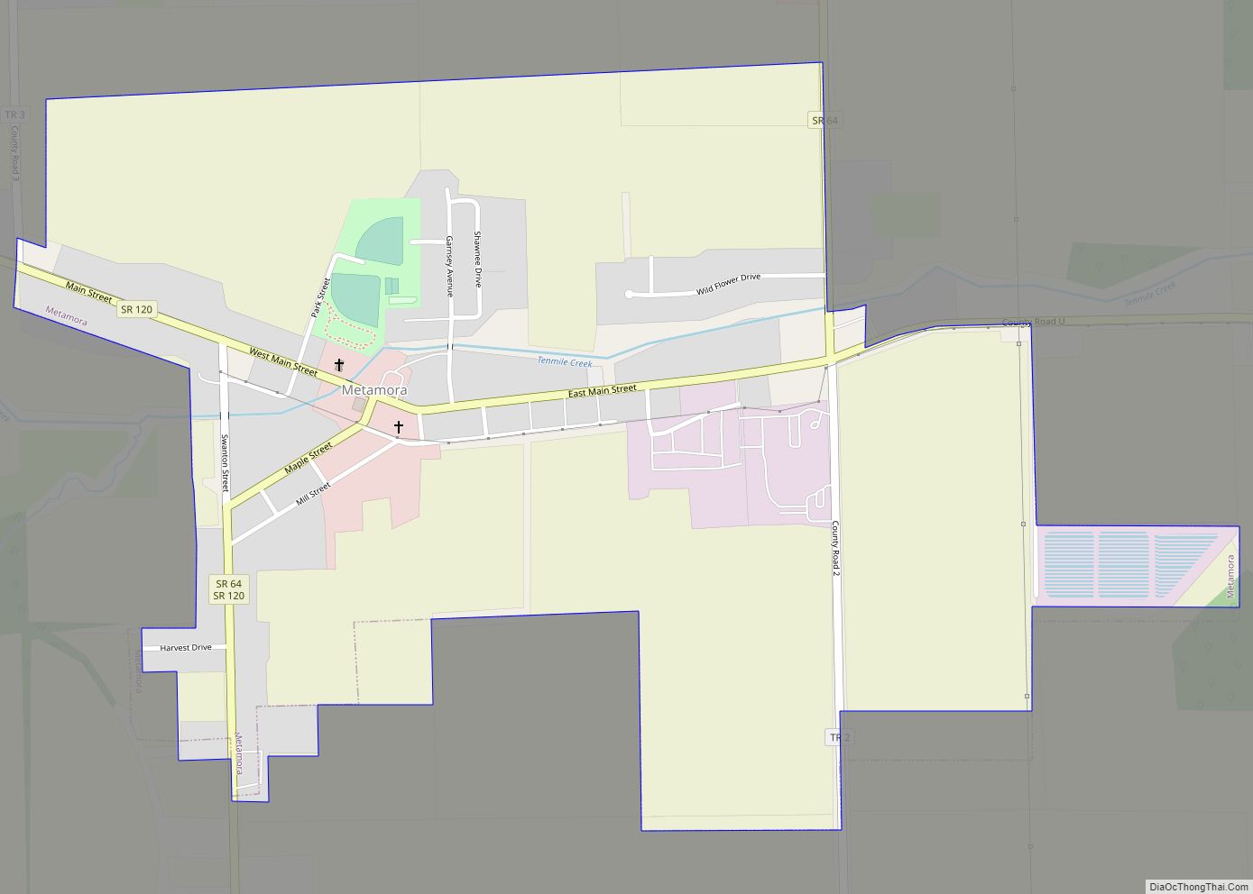
Metamora is a village in Fulton County, Ohio, United States. The population was 627 at the 2010 census.
| Name: | Metamora village |
|---|---|
| LSAD Code: | 47 |
| LSAD Description: | village (suffix) |
| State: | Ohio |
| County: | Fulton County |
| Elevation: | 722 ft (220 m) |
| Total Area: | 0.83 sq mi (2.15 km²) |
| Land Area: | 0.82 sq mi (2.12 km²) |
| Water Area: | 0.01 sq mi (0.04 km²) |
| Total Population: | 566 |
| Population Density: | 692.78/sq mi (267.39/km²) |
| ZIP code: | 43540 |
| Area code: | 419 |
| FIPS code: | 3949238 |
| GNISfeature ID: | 1048968 |
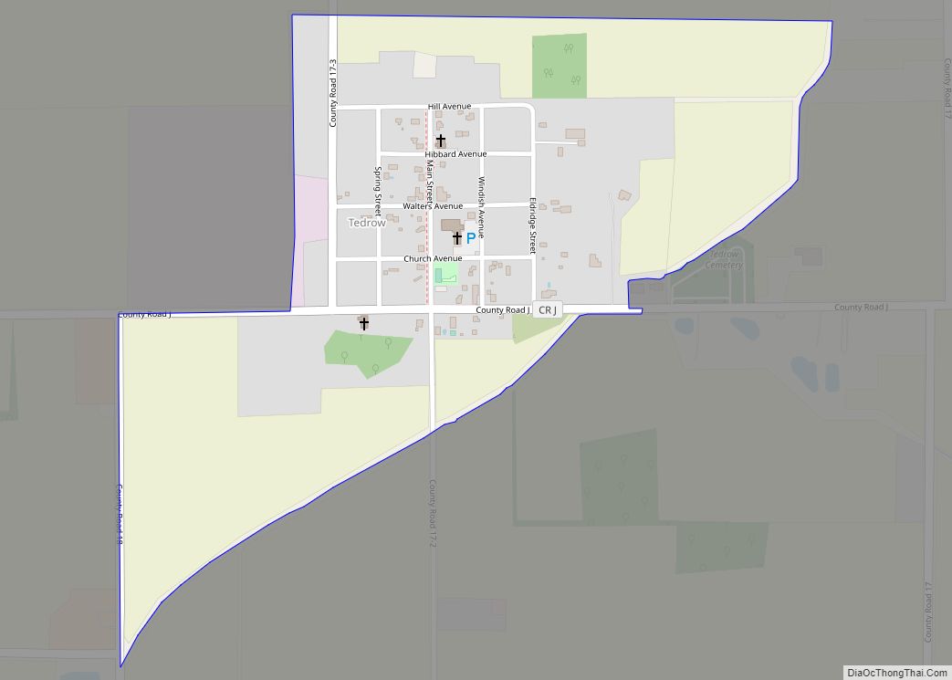
Online Interactive Map
Click on ![]() to view map in "full screen" mode.
to view map in "full screen" mode.
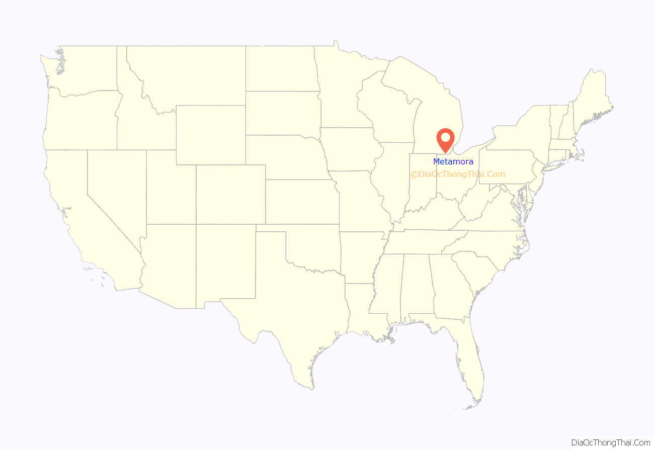
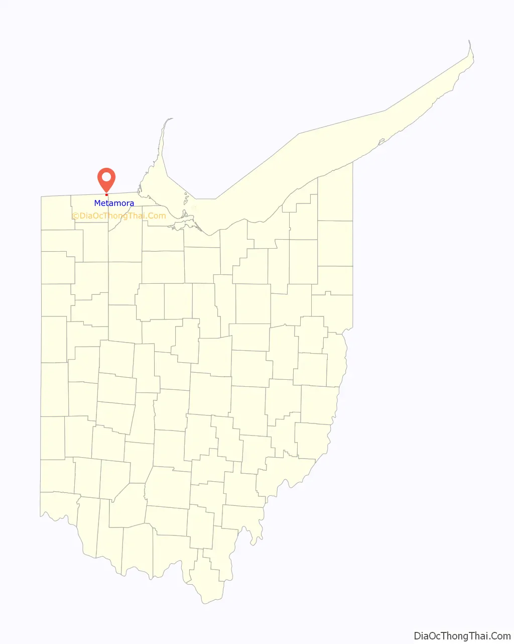
Metamora location map. Where is Metamora village?
History
The first settlement at Metamora was made in the 1830s. A post office called Metamora has been in operation since 1841.
The name of Metamora is from a play titled: Metamora, Last of the Wampanoags. Author John Augustus Stone. This Play led four new Midwestern towns—in Ohio, Indiana, Illinois, and Michigan—to adopt the name Metamora.
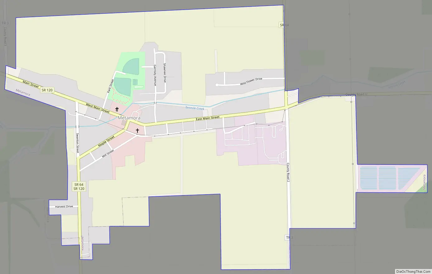
Metamora Road Map
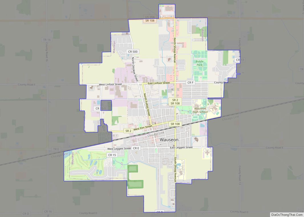
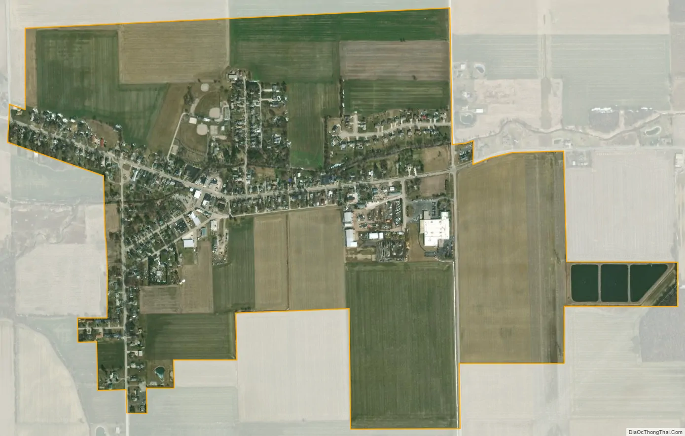
Metamora city Satellite Map
Geography
Metamora (also known as Amboy) is located at 41°42′40″N 83°54′37″W / 41.71111°N 83.91028°W / 41.71111; -83.91028 (41.711239, -83.910259).
According to the United States Census Bureau, the village has a total area of 0.84 square miles (2.18 km), of which 0.83 square miles (2.15 km) is land and 0.01 square miles (0.03 km) is water.
See also
Map of Ohio State and its subdivision:- Adams
- Allen
- Ashland
- Ashtabula
- Athens
- Auglaize
- Belmont
- Brown
- Butler
- Carroll
- Champaign
- Clark
- Clermont
- Clinton
- Columbiana
- Coshocton
- Crawford
- Cuyahoga
- Darke
- Defiance
- Delaware
- Erie
- Fairfield
- Fayette
- Franklin
- Fulton
- Gallia
- Geauga
- Greene
- Guernsey
- Hamilton
- Hancock
- Hardin
- Harrison
- Henry
- Highland
- Hocking
- Holmes
- Huron
- Jackson
- Jefferson
- Knox
- Lake
- Lake Erie
- Lawrence
- Licking
- Logan
- Lorain
- Lucas
- Madison
- Mahoning
- Marion
- Medina
- Meigs
- Mercer
- Miami
- Monroe
- Montgomery
- Morgan
- Morrow
- Muskingum
- Noble
- Ottawa
- Paulding
- Perry
- Pickaway
- Pike
- Portage
- Preble
- Putnam
- Richland
- Ross
- Sandusky
- Scioto
- Seneca
- Shelby
- Stark
- Summit
- Trumbull
- Tuscarawas
- Union
- Van Wert
- Vinton
- Warren
- Washington
- Wayne
- Williams
- Wood
- Wyandot
- Alabama
- Alaska
- Arizona
- Arkansas
- California
- Colorado
- Connecticut
- Delaware
- District of Columbia
- Florida
- Georgia
- Hawaii
- Idaho
- Illinois
- Indiana
- Iowa
- Kansas
- Kentucky
- Louisiana
- Maine
- Maryland
- Massachusetts
- Michigan
- Minnesota
- Mississippi
- Missouri
- Montana
- Nebraska
- Nevada
- New Hampshire
- New Jersey
- New Mexico
- New York
- North Carolina
- North Dakota
- Ohio
- Oklahoma
- Oregon
- Pennsylvania
- Rhode Island
- South Carolina
- South Dakota
- Tennessee
- Texas
- Utah
- Vermont
- Virginia
- Washington
- West Virginia
- Wisconsin
- Wyoming