Minerva Park is a village in Franklin County, Ohio, United States. The population was 2,009 at the 2020 census.
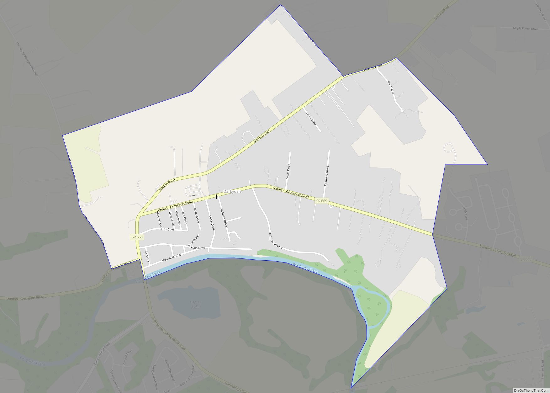
The communities of Minerva Park, Bexley, Whitehall, and Valleyview are enclaves of Columbus.
| Name: | Minerva Park village |
|---|---|
| LSAD Code: | 47 |
| LSAD Description: | village (suffix) |
| State: | Ohio |
| County: | Franklin County |
| Elevation: | 846 ft (258 m) |
| Total Area: | 0.66 sq mi (1.71 km²) |
| Land Area: | 0.65 sq mi (1.68 km²) |
| Water Area: | 0.01 sq mi (0.03 km²) |
| Total Population: | 2,009 |
| Population Density: | 3,105.10/sq mi (1,199.09/km²) |
| FIPS code: | 3950862 |
| GNISfeature ID: | 1056902 |
| Website: | www.minervapark.org |
Online Interactive Map
Click on ![]() to view map in "full screen" mode.
to view map in "full screen" mode.
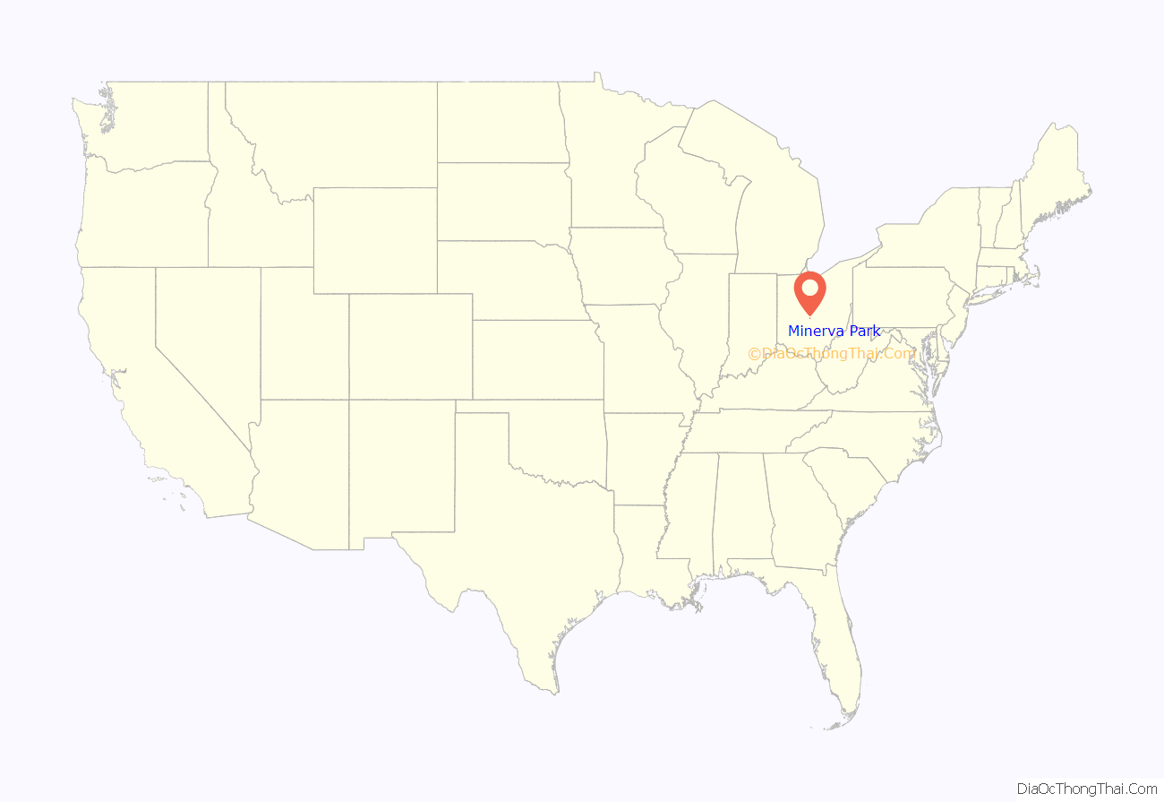
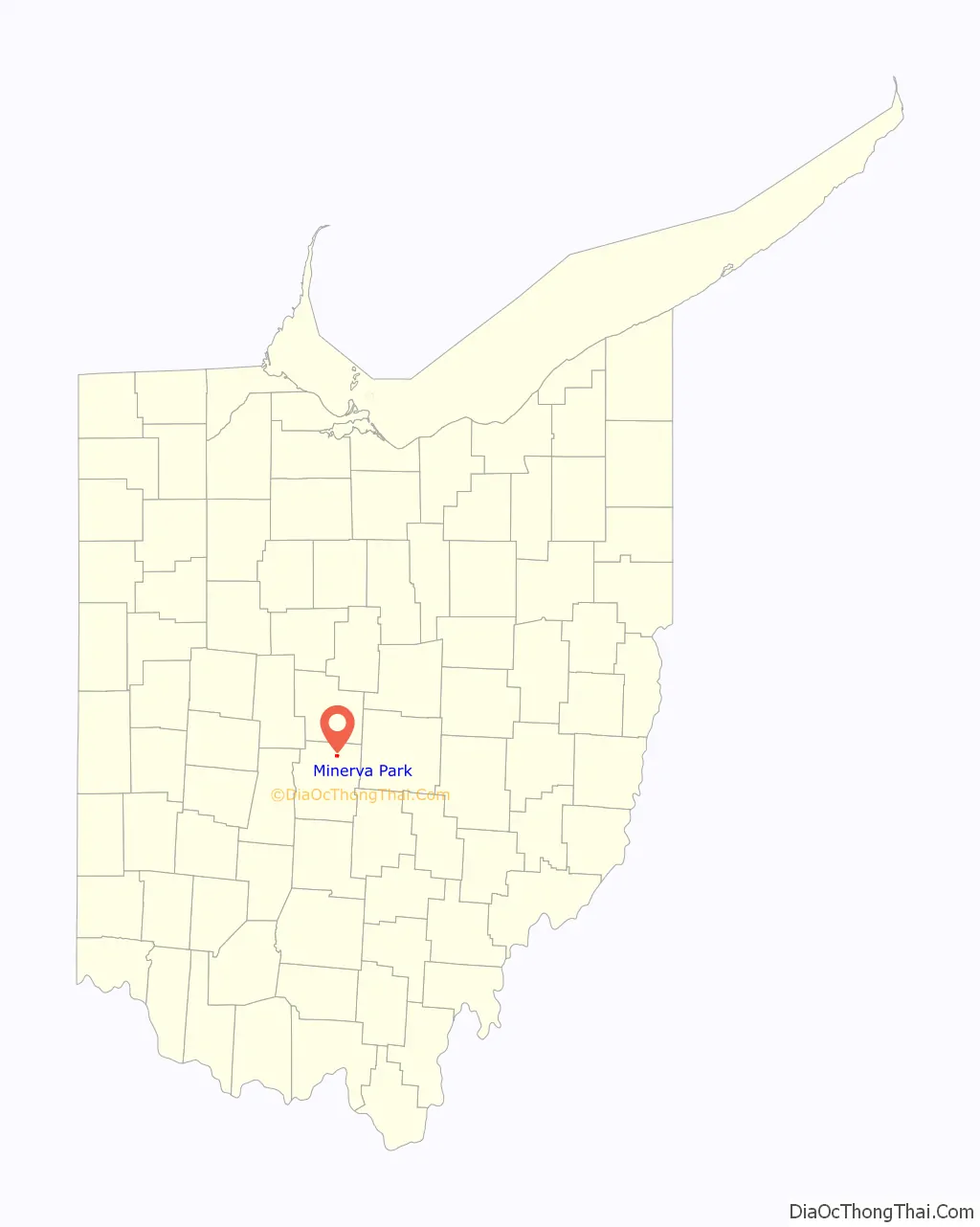
Minerva Park location map. Where is Minerva Park village?
History
The village land was founded as a trolley park, also named Minerva Park. The park had a roller coaster, a small zoo, a lake, and other attractions. The park opened July 13, 1895. It operated until 1902, after Olentangy Park outcompeted Minerva Park. For its later history, the site became a graveyard for discarded streetcars. The park’s owner unsuccessfully pleaded with Westerville to preserve the amusement park. The site was vacant until 1927, when construction of the subdivision began. The village was incorporated in 1940.
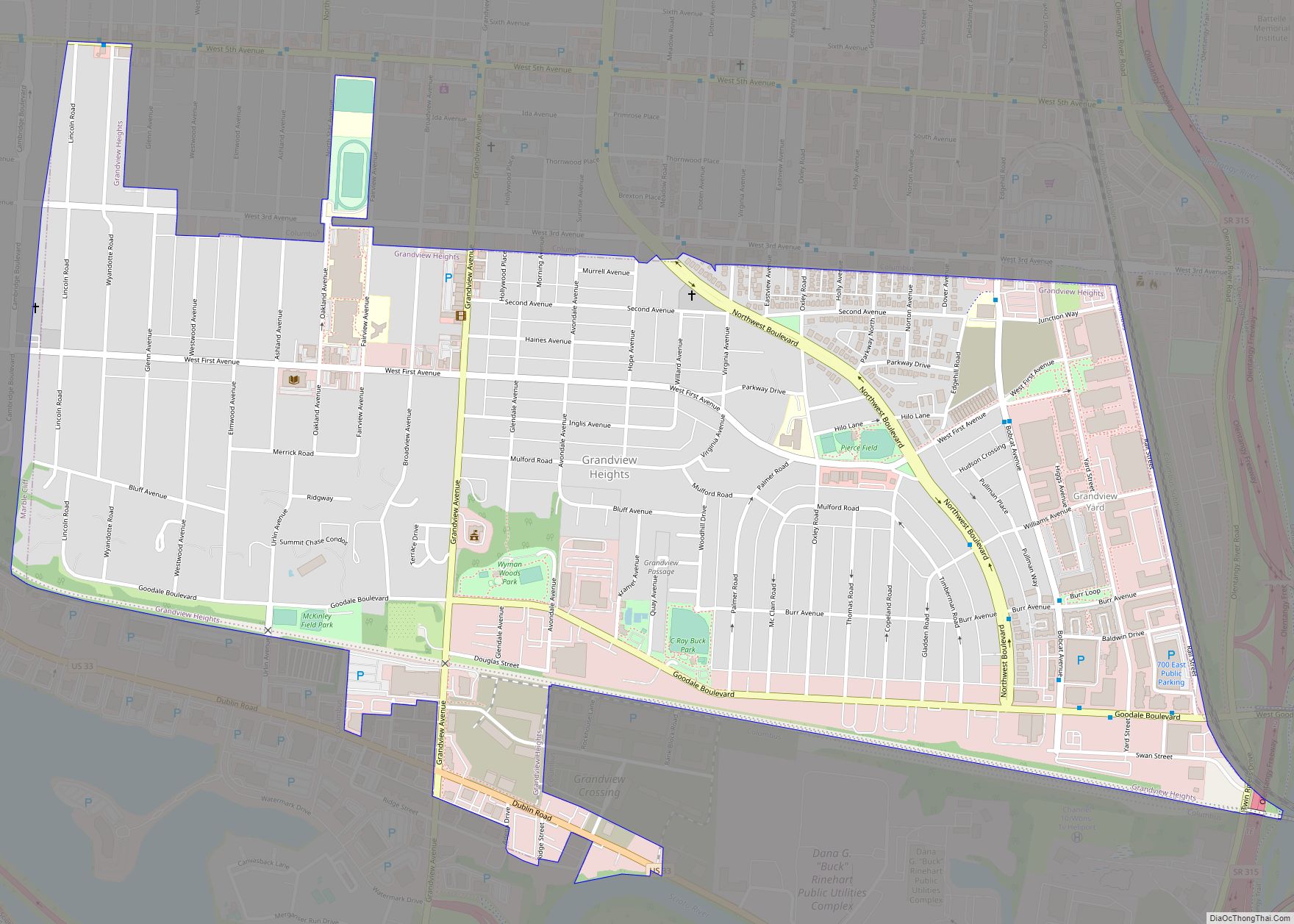
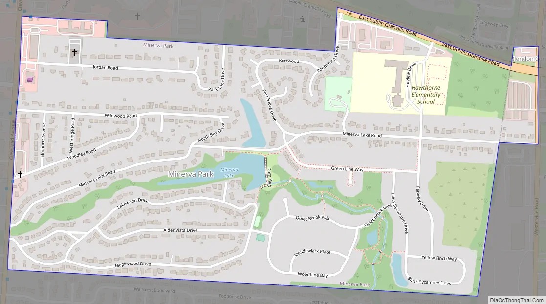
Minerva Park Road Map
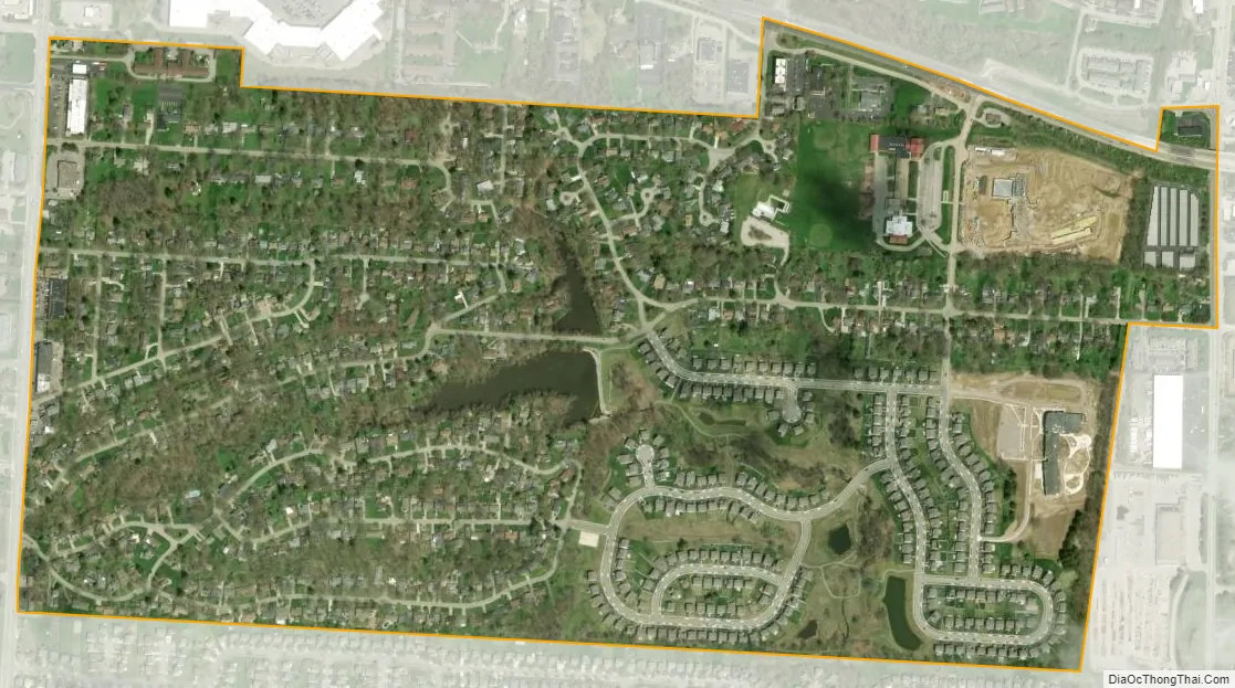
Minerva Park city Satellite Map
Geography
Minerva Park is located at 40°4′34″N 82°56′26″W / 40.07611°N 82.94056°W / 40.07611; -82.94056 (40.076042, -82.940640).
According to the United States Census Bureau, the village has a total area of 0.52 square miles (1.35 km), of which 0.51 square miles (1.32 km) is land and 0.01 square miles (0.03 km) is water.
See also
Map of Ohio State and its subdivision:- Adams
- Allen
- Ashland
- Ashtabula
- Athens
- Auglaize
- Belmont
- Brown
- Butler
- Carroll
- Champaign
- Clark
- Clermont
- Clinton
- Columbiana
- Coshocton
- Crawford
- Cuyahoga
- Darke
- Defiance
- Delaware
- Erie
- Fairfield
- Fayette
- Franklin
- Fulton
- Gallia
- Geauga
- Greene
- Guernsey
- Hamilton
- Hancock
- Hardin
- Harrison
- Henry
- Highland
- Hocking
- Holmes
- Huron
- Jackson
- Jefferson
- Knox
- Lake
- Lake Erie
- Lawrence
- Licking
- Logan
- Lorain
- Lucas
- Madison
- Mahoning
- Marion
- Medina
- Meigs
- Mercer
- Miami
- Monroe
- Montgomery
- Morgan
- Morrow
- Muskingum
- Noble
- Ottawa
- Paulding
- Perry
- Pickaway
- Pike
- Portage
- Preble
- Putnam
- Richland
- Ross
- Sandusky
- Scioto
- Seneca
- Shelby
- Stark
- Summit
- Trumbull
- Tuscarawas
- Union
- Van Wert
- Vinton
- Warren
- Washington
- Wayne
- Williams
- Wood
- Wyandot
- Alabama
- Alaska
- Arizona
- Arkansas
- California
- Colorado
- Connecticut
- Delaware
- District of Columbia
- Florida
- Georgia
- Hawaii
- Idaho
- Illinois
- Indiana
- Iowa
- Kansas
- Kentucky
- Louisiana
- Maine
- Maryland
- Massachusetts
- Michigan
- Minnesota
- Mississippi
- Missouri
- Montana
- Nebraska
- Nevada
- New Hampshire
- New Jersey
- New Mexico
- New York
- North Carolina
- North Dakota
- Ohio
- Oklahoma
- Oregon
- Pennsylvania
- Rhode Island
- South Carolina
- South Dakota
- Tennessee
- Texas
- Utah
- Vermont
- Virginia
- Washington
- West Virginia
- Wisconsin
- Wyoming