Mount Sterling is a village in Madison County, Ohio, United States. The population was 1,782 at the 2010 census. It is a part of the Columbus, Ohio Metropolitan Statistical Area.
| Name: | Mount Sterling village |
|---|---|
| LSAD Code: | 47 |
| LSAD Description: | village (suffix) |
| State: | Ohio |
| County: | Madison County |
| Elevation: | 902 ft (275 m) |
| Total Area: | 1.69 sq mi (4.37 km²) |
| Land Area: | 1.69 sq mi (4.37 km²) |
| Water Area: | 0.00 sq mi (0.00 km²) |
| Total Population: | 1,945 |
| Population Density: | 1,152.25/sq mi (444.84/km²) |
| ZIP code: | 43143 |
| Area code: | 740 |
| FIPS code: | 3953046 |
| GNISfeature ID: | 1065077 |
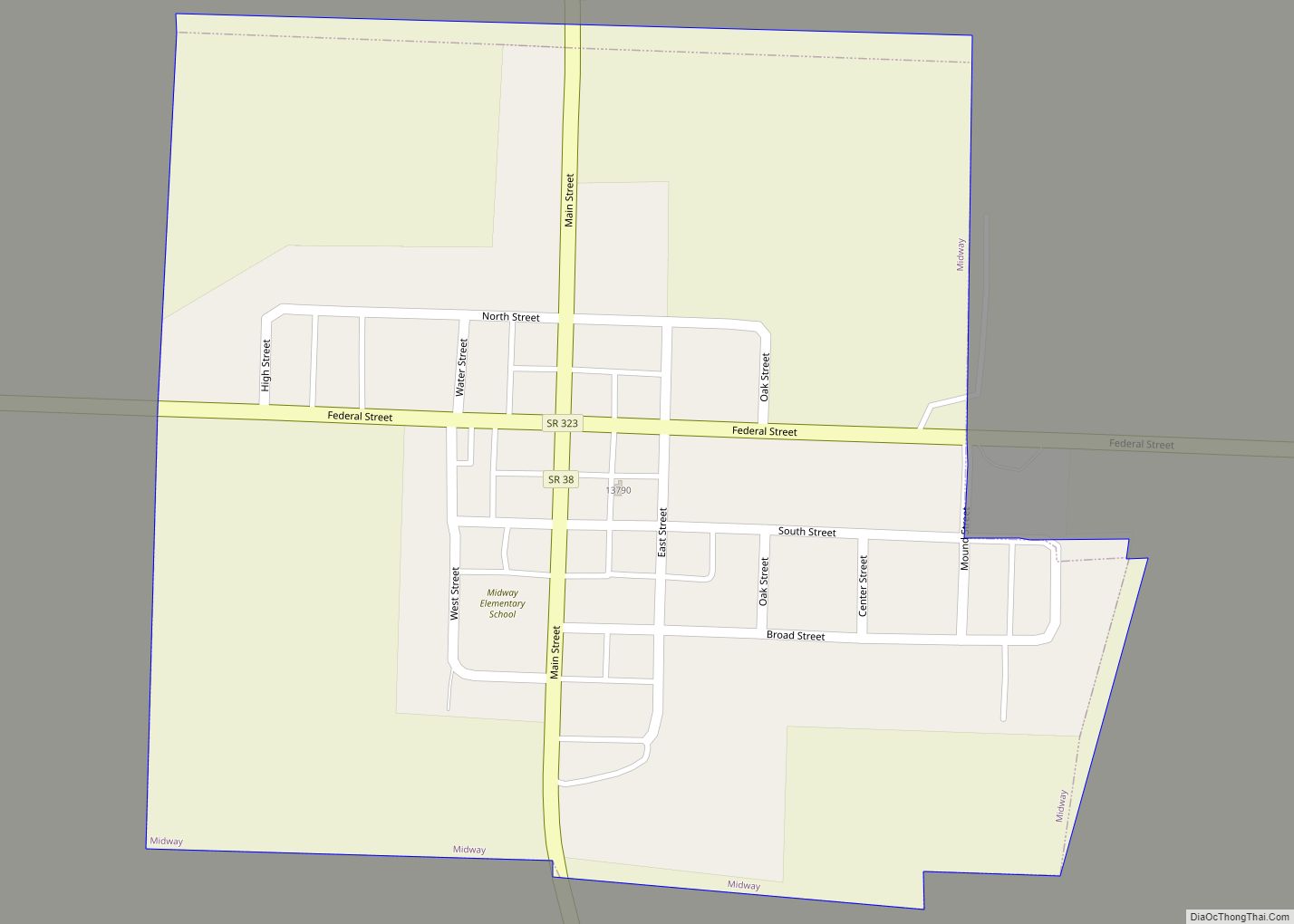
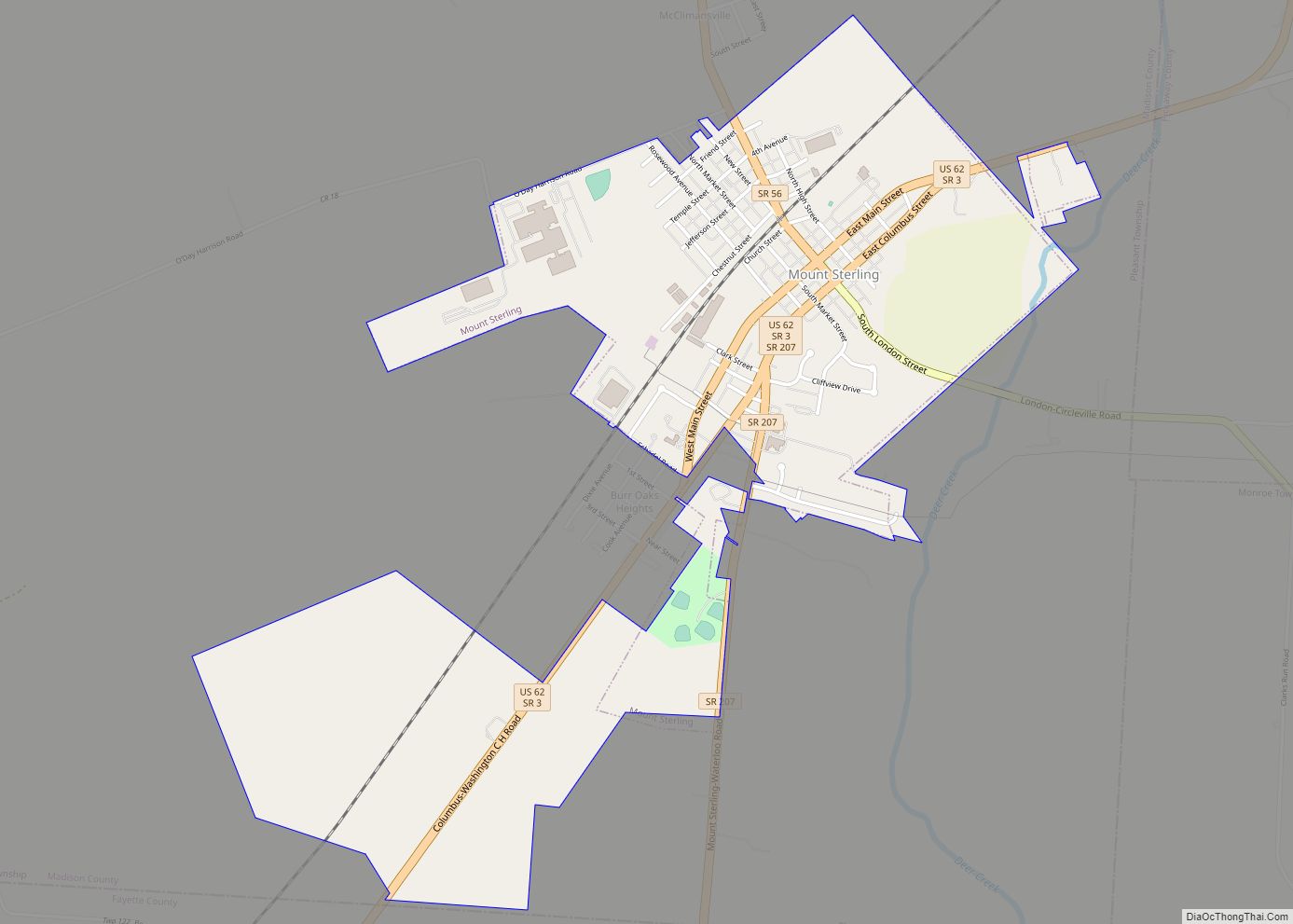
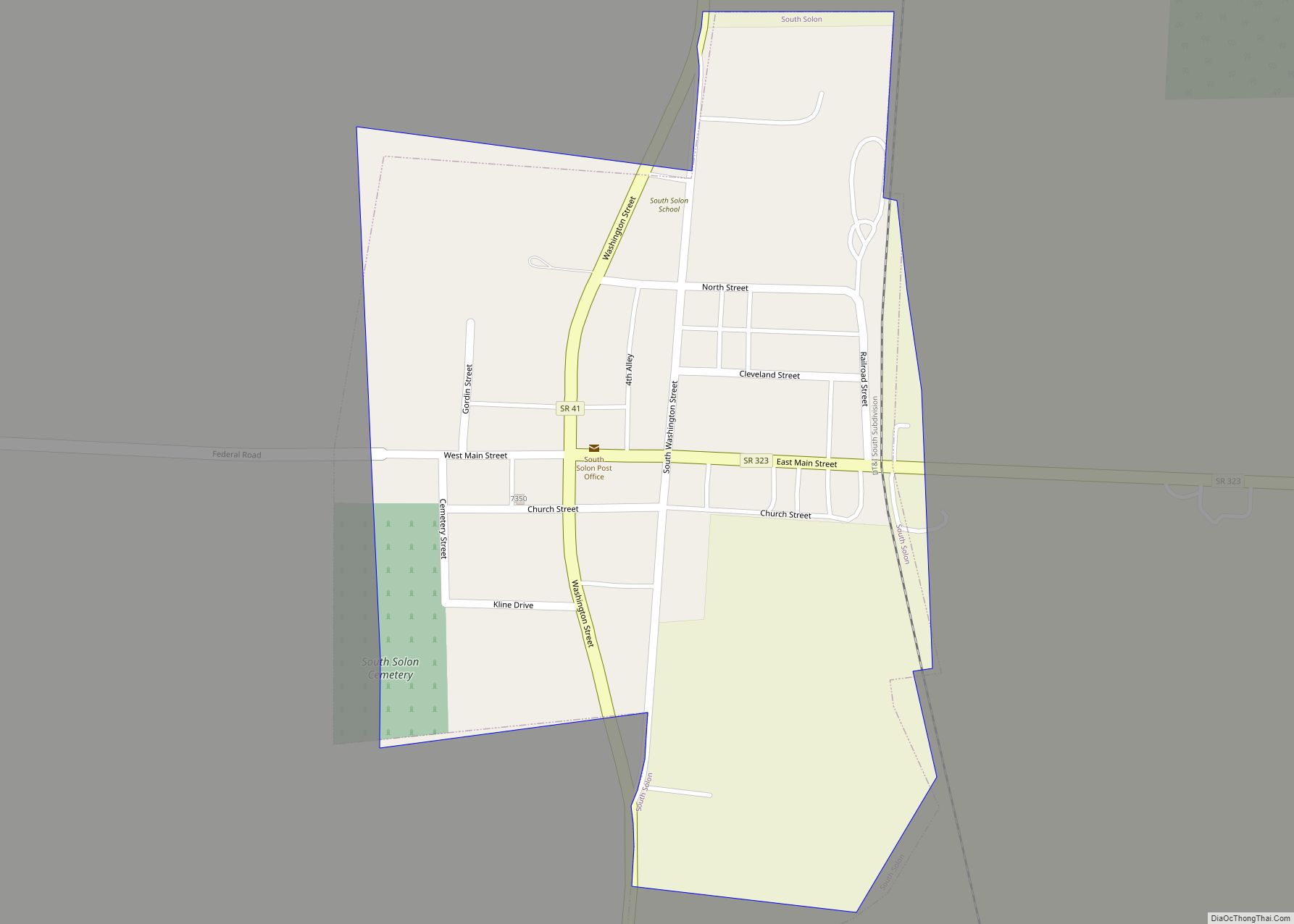
Online Interactive Map
Click on ![]() to view map in "full screen" mode.
to view map in "full screen" mode.
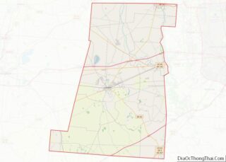
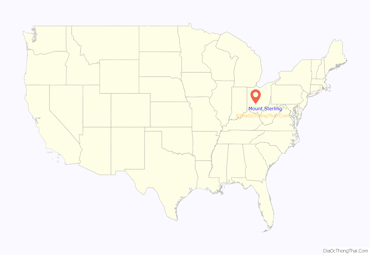
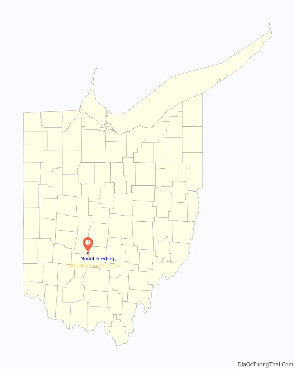
Mount Sterling location map. Where is Mount Sterling village?
History
Mount Sterling was laid out in 1826 or 1828 by John J. Smith, Esq. of Mount Sterling, Kentucky, named after Smith’s hometown, and recorded at London on June 26, 1829. The Mount Sterling Post Office was established on June 8, 1830, with Rowland Wilson as the first postmaster. The post office was discontinued on November 15, 1831, but re-established on April 6, 1832. The town was incorporated on March 12, 1845, and the corporation limits expanded in 1873. As of 1875, the community contained three churches, one bank, five dry goods stores, three grocery stores, two drug stores, one hotel, two harness shops, one hardware store, one stove store, two boot and shoe stores, two blacksmith shops, a carriage manufacturing company, one wagon shop, four physicians, and one flour mill. As of 1915, the town was lighted by electricity, had a city waterworks, and contained two grain elevators, one opera house, one high school, one grade school, and multiple churches and stores.
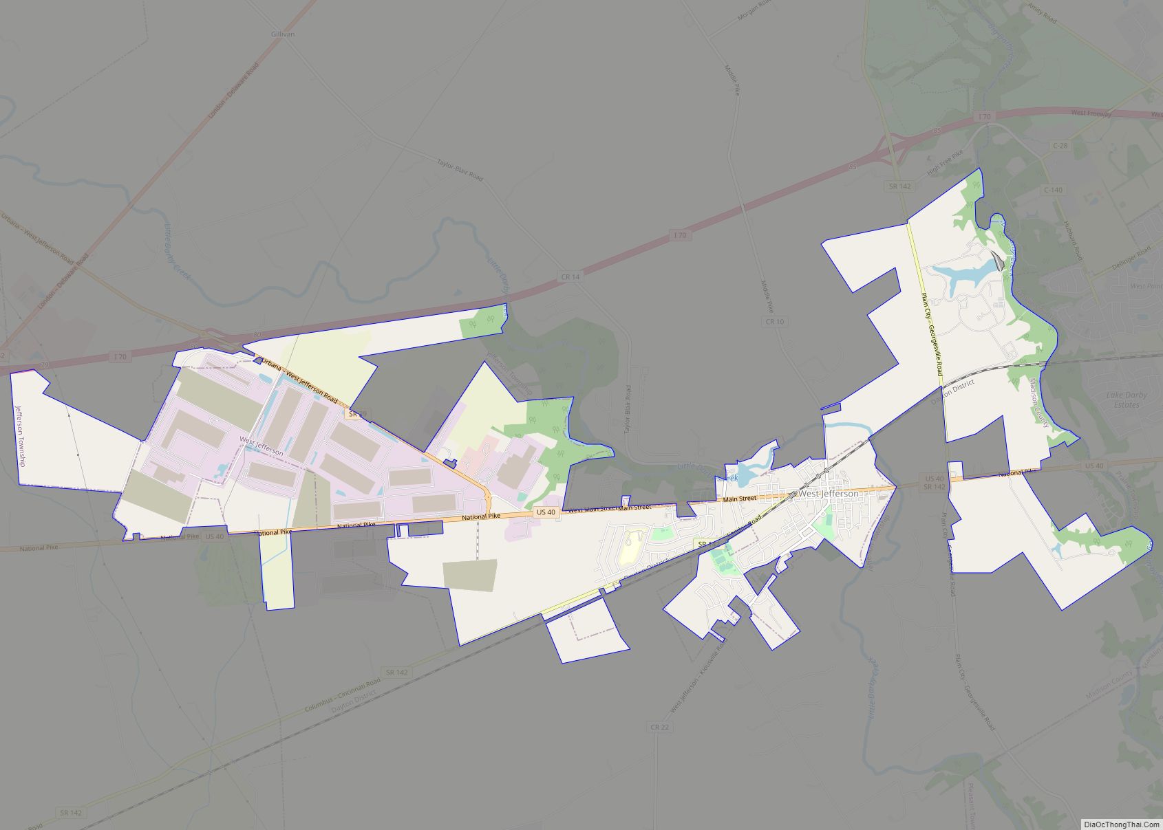
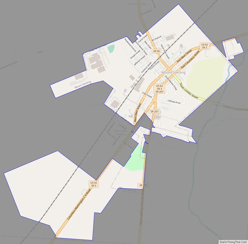
Mount Sterling Road Map
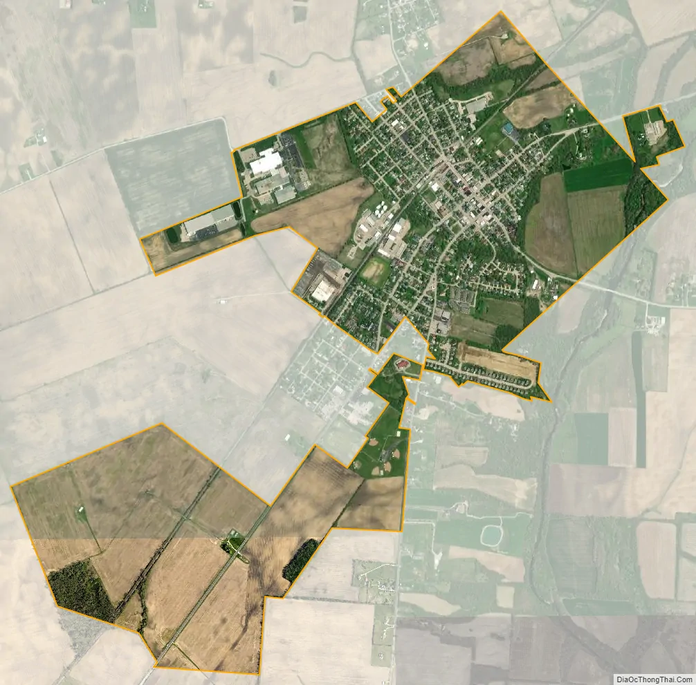
Mount Sterling city Satellite Map
Geography
Mount Sterling is located at 39°43′10″N 83°16′5″W / 39.71944°N 83.26806°W / 39.71944; -83.26806 (39.719528, -83.267999).
According to the United States Census Bureau, the village has a total area of 1.73 square miles (4.48 km), all land.
See also
Map of Ohio State and its subdivision:- Adams
- Allen
- Ashland
- Ashtabula
- Athens
- Auglaize
- Belmont
- Brown
- Butler
- Carroll
- Champaign
- Clark
- Clermont
- Clinton
- Columbiana
- Coshocton
- Crawford
- Cuyahoga
- Darke
- Defiance
- Delaware
- Erie
- Fairfield
- Fayette
- Franklin
- Fulton
- Gallia
- Geauga
- Greene
- Guernsey
- Hamilton
- Hancock
- Hardin
- Harrison
- Henry
- Highland
- Hocking
- Holmes
- Huron
- Jackson
- Jefferson
- Knox
- Lake
- Lake Erie
- Lawrence
- Licking
- Logan
- Lorain
- Lucas
- Madison
- Mahoning
- Marion
- Medina
- Meigs
- Mercer
- Miami
- Monroe
- Montgomery
- Morgan
- Morrow
- Muskingum
- Noble
- Ottawa
- Paulding
- Perry
- Pickaway
- Pike
- Portage
- Preble
- Putnam
- Richland
- Ross
- Sandusky
- Scioto
- Seneca
- Shelby
- Stark
- Summit
- Trumbull
- Tuscarawas
- Union
- Van Wert
- Vinton
- Warren
- Washington
- Wayne
- Williams
- Wood
- Wyandot
- Alabama
- Alaska
- Arizona
- Arkansas
- California
- Colorado
- Connecticut
- Delaware
- District of Columbia
- Florida
- Georgia
- Hawaii
- Idaho
- Illinois
- Indiana
- Iowa
- Kansas
- Kentucky
- Louisiana
- Maine
- Maryland
- Massachusetts
- Michigan
- Minnesota
- Mississippi
- Missouri
- Montana
- Nebraska
- Nevada
- New Hampshire
- New Jersey
- New Mexico
- New York
- North Carolina
- North Dakota
- Ohio
- Oklahoma
- Oregon
- Pennsylvania
- Rhode Island
- South Carolina
- South Dakota
- Tennessee
- Texas
- Utah
- Vermont
- Virginia
- Washington
- West Virginia
- Wisconsin
- Wyoming