New Philadelphia is a city in and the county seat of Tuscarawas County, Ohio, United States. The county’s largest city, New Philadelphia lies along the Tuscarawas River. The population was 17,677 at the 2020 census. It is a principal city in the New Philadelphia–Dover micropolitan area, approximately 71 miles (114 km) south of Cleveland.
In 1772, the Moravian Christians founded the community of Schoenbrunn in the area, which was the first settlement of the Northwest Territory. The Christian pacifist settlement was subsequently abandoned during the American Revolution. After the area was resettled in 1804, because of the presence of coal and clay, early industry in the city centered on mining interests and the manufacture of steel, canned goods, roofing tile, sewer pipe, bricks, vacuum cleaners, stovepipes, carriages, flour, brooms, and pressed, stamped, and enameled goods.
| Name: | New Philadelphia city |
|---|---|
| LSAD Code: | 25 |
| LSAD Description: | city (suffix) |
| State: | Ohio |
| County: | Tuscarawas County |
| Incorporated: | February 12, 1833 |
| Elevation: | 906 ft (276 m) |
| Total Area: | 8.25 sq mi (21.37 km²) |
| Land Area: | 8.15 sq mi (21.12 km²) |
| Water Area: | 0.10 sq mi (0.25 km²) |
| Total Population: | 17,677 |
| Population Density: | 2,168.16/sq mi (837.10/km²) |
| ZIP code: | 44663 |
| Area code: | 330 |
| FIPS code: | 3955216 |
| GNISfeature ID: | 1065105 |
| Website: | http://www.newphilaoh.com/ |
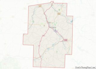
Online Interactive Map
Click on ![]() to view map in "full screen" mode.
to view map in "full screen" mode.
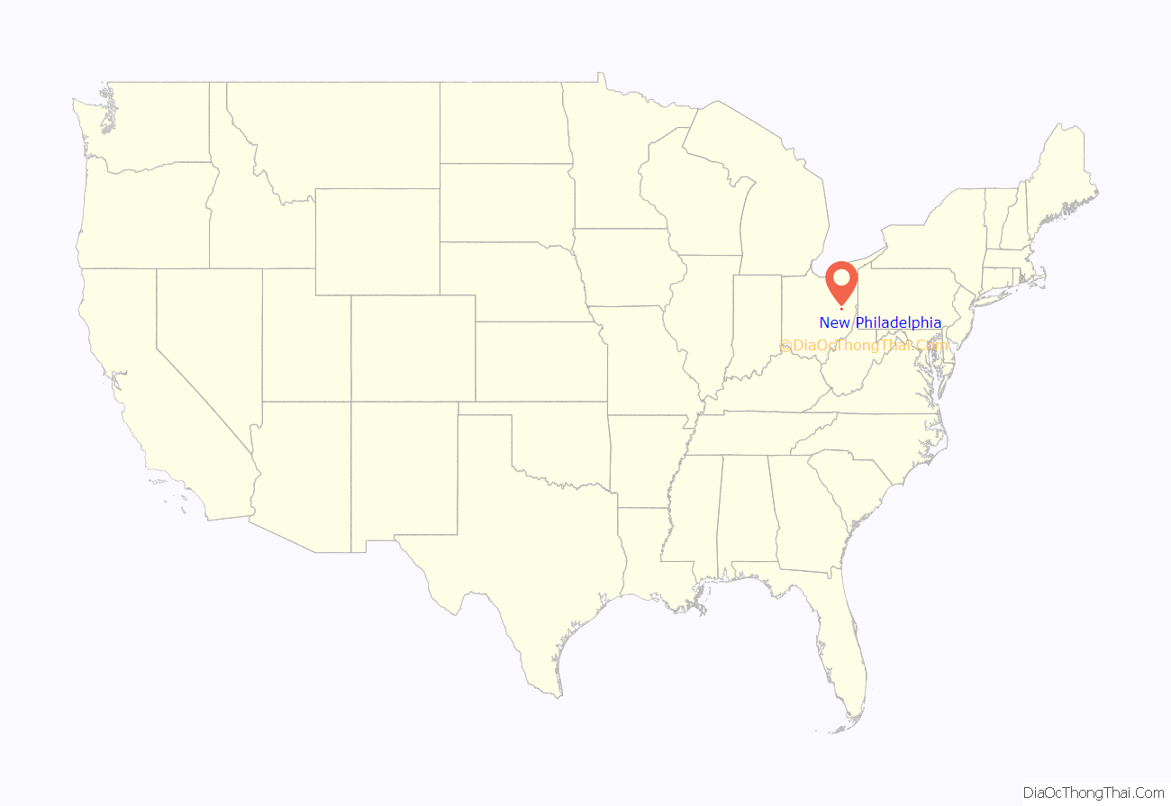
New Philadelphia location map. Where is New Philadelphia city?
History
The Moravian Church, under the leadership of David Zeisberger, founded Schoenbrunn (“beautiful spring”), also known as Welhik Tuppeek (“the best spring”), in 1772 as a mission to the Delaware Indians. Schönbrunn was two miles south-east of present-day New Philadelphia, Ohio. The settlement grew to include sixty dwellings and more than 300 inhabitants, both Munsee and Germans, who drew up Ohio’s first civil code and built its first Christian church and schoolhouse. Problems associated with the American Revolution prompted Schoenbrunn’s closing in 1777.
John Knisely, who was from Pennsylvania, wanted to settle in a location where game was more plentiful and was welcomed by the Christian Indians of Goshen; he returned to Ohio in 1804 with his family and 33 other pioneers, hiring surveyor John Wells to plot out the modern city of New Philadelphia in the same grid style as Philadelphia, Pennsylvania.
In 1833, New Philadelphia contained county buildings, a printing office, several stores, and five taverns.
New Philadelphia Road Map
New Philadelphia city Satellite Map
Geography
New Philadelphia is located at 40°29′22″N 81°26′50″W / 40.48944°N 81.44722°W / 40.48944; -81.44722 (40.489411, -81.447324), along the Tuscarawas River. It lies within the ecoregion of the Western Allegheny Plateau.
According to the United States Census Bureau, the city has a total area of 8.39 square miles (21.73 km), of which 8.22 square miles (21.29 km) is land and 0.17 square miles (0.44 km) is water.
Layout
New Philadelphia’s design was based on the design of Philadelphia, Pennsylvania. The two main streets in the city are High Avenue and Broadway, both of which were named after two main streets from Philadelphia, except, in Philadelphia, High Avenue was renamed Market Street in 1858, “the High Street” was the familiar name of the principal street in nearly every English town at the time Philadelphia was founded, and Broad Street is the closest street name in Philadelphia to Broadway. No historical records exist for a road named Broadway in Philadelphia.
Climate
New Philadelphia has a humid continental climate, abbreviated “Dfa” on climate maps.
See also
Map of Ohio State and its subdivision:- Adams
- Allen
- Ashland
- Ashtabula
- Athens
- Auglaize
- Belmont
- Brown
- Butler
- Carroll
- Champaign
- Clark
- Clermont
- Clinton
- Columbiana
- Coshocton
- Crawford
- Cuyahoga
- Darke
- Defiance
- Delaware
- Erie
- Fairfield
- Fayette
- Franklin
- Fulton
- Gallia
- Geauga
- Greene
- Guernsey
- Hamilton
- Hancock
- Hardin
- Harrison
- Henry
- Highland
- Hocking
- Holmes
- Huron
- Jackson
- Jefferson
- Knox
- Lake
- Lake Erie
- Lawrence
- Licking
- Logan
- Lorain
- Lucas
- Madison
- Mahoning
- Marion
- Medina
- Meigs
- Mercer
- Miami
- Monroe
- Montgomery
- Morgan
- Morrow
- Muskingum
- Noble
- Ottawa
- Paulding
- Perry
- Pickaway
- Pike
- Portage
- Preble
- Putnam
- Richland
- Ross
- Sandusky
- Scioto
- Seneca
- Shelby
- Stark
- Summit
- Trumbull
- Tuscarawas
- Union
- Van Wert
- Vinton
- Warren
- Washington
- Wayne
- Williams
- Wood
- Wyandot
- Alabama
- Alaska
- Arizona
- Arkansas
- California
- Colorado
- Connecticut
- Delaware
- District of Columbia
- Florida
- Georgia
- Hawaii
- Idaho
- Illinois
- Indiana
- Iowa
- Kansas
- Kentucky
- Louisiana
- Maine
- Maryland
- Massachusetts
- Michigan
- Minnesota
- Mississippi
- Missouri
- Montana
- Nebraska
- Nevada
- New Hampshire
- New Jersey
- New Mexico
- New York
- North Carolina
- North Dakota
- Ohio
- Oklahoma
- Oregon
- Pennsylvania
- Rhode Island
- South Carolina
- South Dakota
- Tennessee
- Texas
- Utah
- Vermont
- Virginia
- Washington
- West Virginia
- Wisconsin
- Wyoming
