Oak Hill is a village in Jackson County, Ohio, United States. The population was 1,551 at the 2010 census.
| Name: | Oak Hill village |
|---|---|
| LSAD Code: | 47 |
| LSAD Description: | village (suffix) |
| State: | Ohio |
| County: | Jackson County |
| Elevation: | 699 ft (213 m) |
| Total Area: | 1.27 sq mi (3.29 km²) |
| Land Area: | 1.27 sq mi (3.29 km²) |
| Water Area: | 0.00 sq mi (0.00 km²) |
| Total Population: | 1,407 |
| Population Density: | 1,107.00/sq mi (427.54/km²) |
| ZIP code: | 45656 |
| Area code: | 740 |
| FIPS code: | 3957596 |
| GNISfeature ID: | 1080995 |
| Website: | www.oakhillvillage.net |
Online Interactive Map
Click on ![]() to view map in "full screen" mode.
to view map in "full screen" mode.
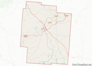
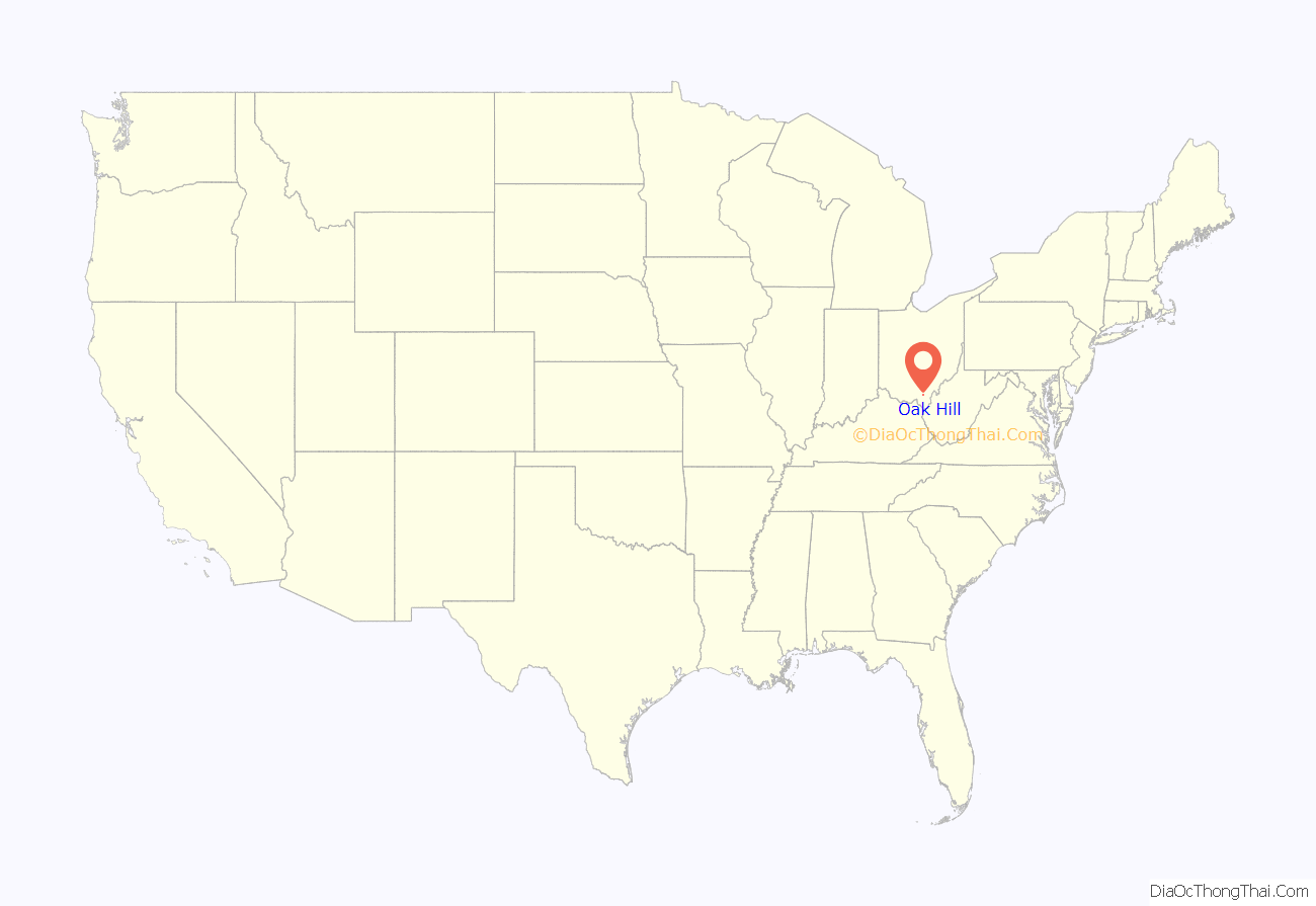
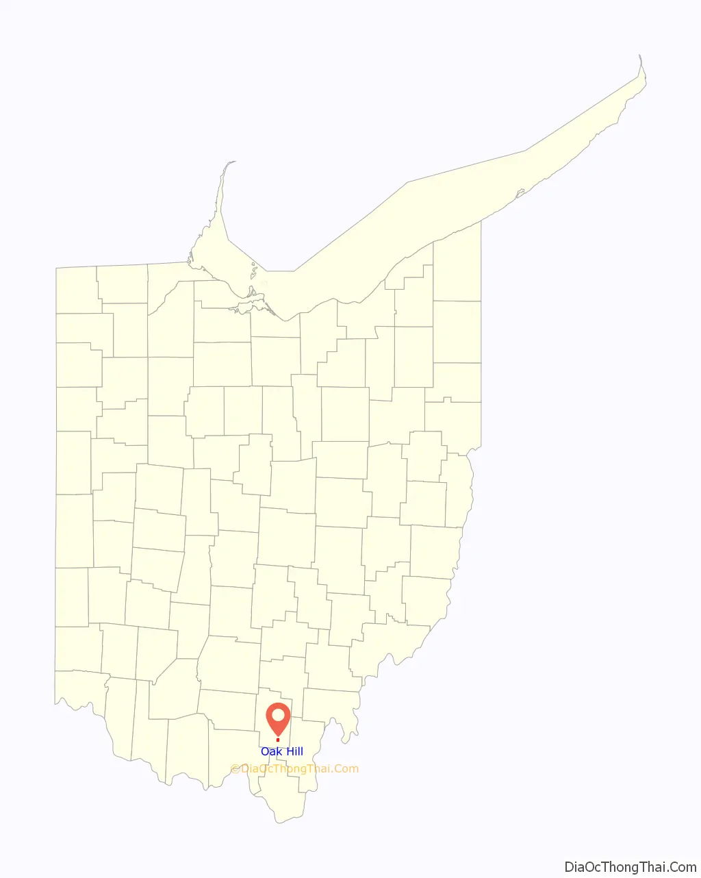
Oak Hill location map. Where is Oak Hill village?
History
Oak Hill was also a stop on Morgan’s Raid, led by Confederate Brigadier General John Hunt Morgan during the American Civil War. Oak Hill was settled by Welsh immigrants that had been stranded on the Ohio River in Gallipolis.
Nineteenth-century events
- 1814 – First settler, Peter Seel
- 1818 – First Welsh settlers
- 1819 – Organization of the Union Baptist Church
- 1835 – Organization of the Moriah “Mother Church”
- 1837 – Establishment of the post office
- 1837 – Organization of Horeb Church
- 1839 – Beginning of Welsh immigration
- 1841 – Organization of Bethel Church
- 1841 – Organization of Congregational Church
- 1843 – Organization of Sardis Church
- 1843 – Organization of the Welsh Calvinistic Methodist Church (United Presbyterian Church)
- 1853 – Construction of Jefferson Furnace
- 1856 – Organization of Gallia Baptist Church
- 1866 – Establishment of Portland Masonic Lodge No. 366
- 1873 – Incorporation of the village
- 1880 – Creation of the Oak Hill Morgan Academy
- 1881 – First Newspaper Created
- 1891 – Creation of the Farmers’ Bank
- 1873 – Incorporation of the Aetna Fire Brick and Coal Company
- 1873 – Incorporation of the Oak Hill Fire Brick Company
- 1898 – Incorporation of the Ohio Fire Brick Company
- 1893 – Formation of the Oak Hill Local Union School District
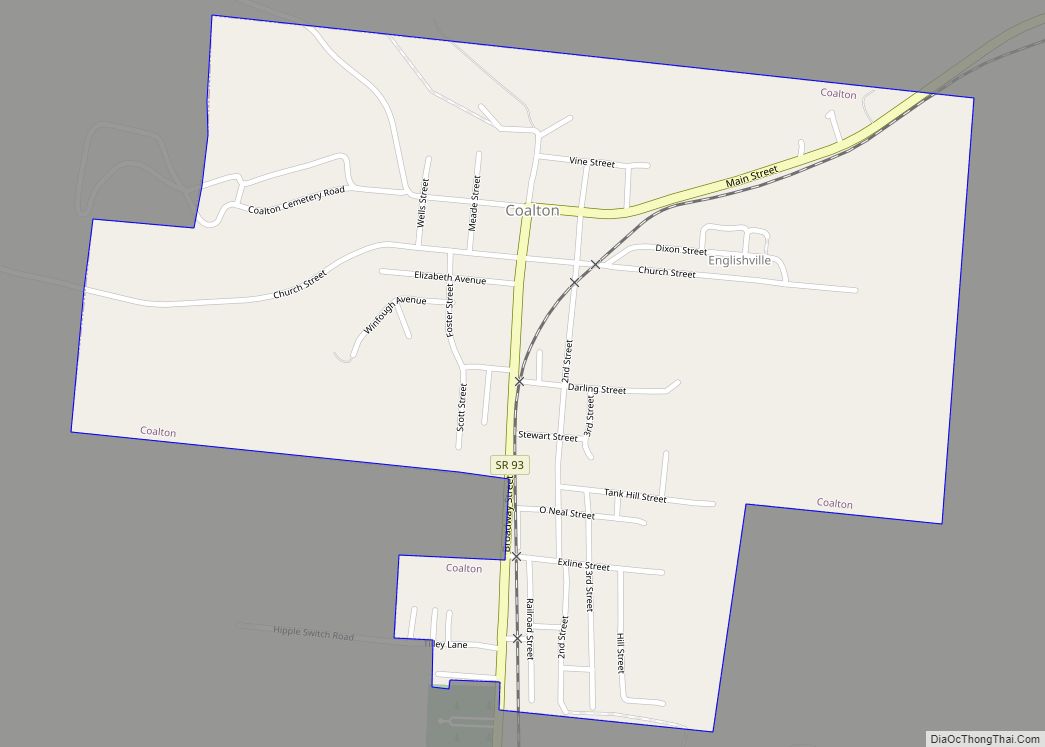
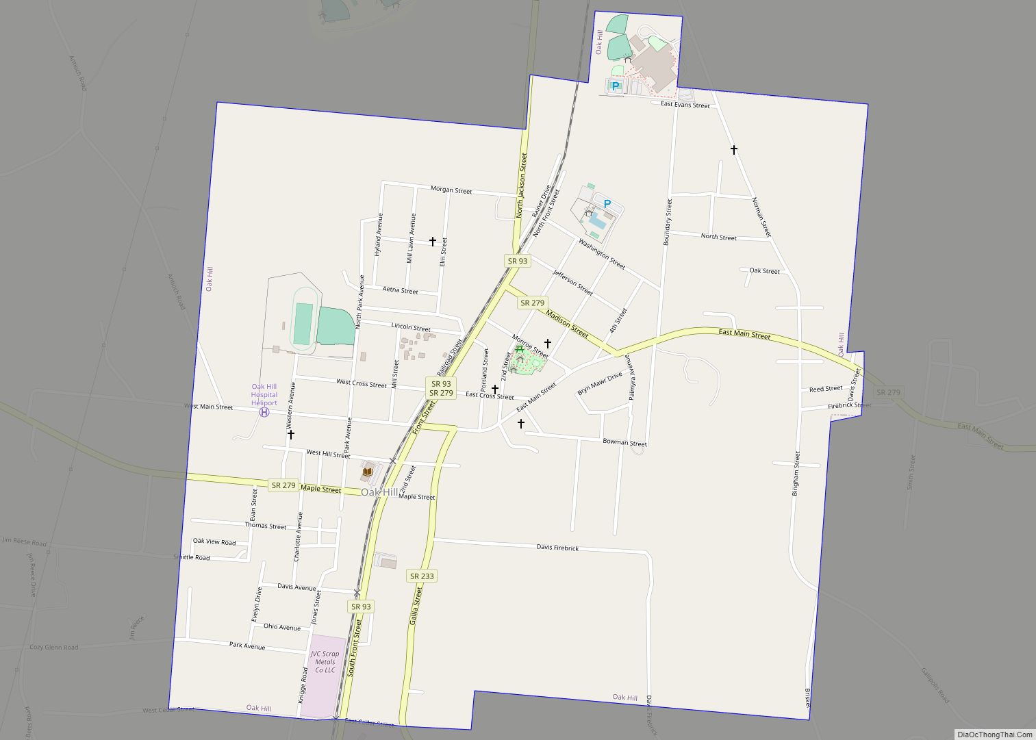
Oak Hill Road Map
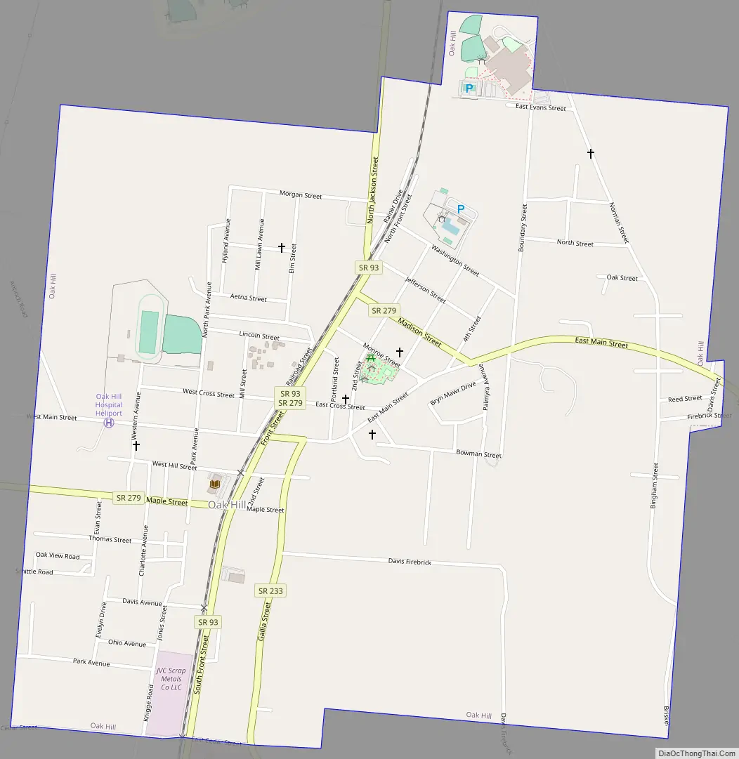
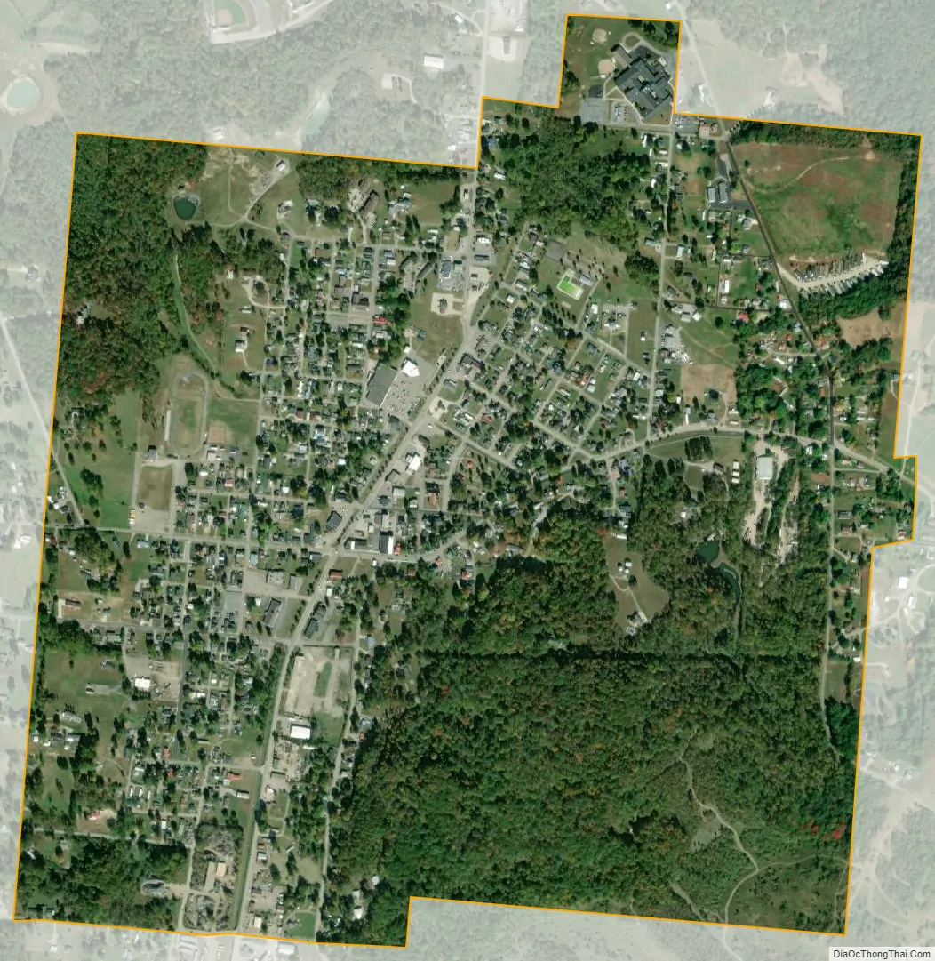
Oak Hill city Satellite Map
Geography
Oak Hill is located at 38°53′47″N 82°34′14″W / 38.89639°N 82.57056°W / 38.89639; -82.57056 (38.896514, -82.570649).
According to the United States Census Bureau, the village has a total area of 1.14 square miles (2.95 km), all land.
See also
Map of Ohio State and its subdivision:- Adams
- Allen
- Ashland
- Ashtabula
- Athens
- Auglaize
- Belmont
- Brown
- Butler
- Carroll
- Champaign
- Clark
- Clermont
- Clinton
- Columbiana
- Coshocton
- Crawford
- Cuyahoga
- Darke
- Defiance
- Delaware
- Erie
- Fairfield
- Fayette
- Franklin
- Fulton
- Gallia
- Geauga
- Greene
- Guernsey
- Hamilton
- Hancock
- Hardin
- Harrison
- Henry
- Highland
- Hocking
- Holmes
- Huron
- Jackson
- Jefferson
- Knox
- Lake
- Lake Erie
- Lawrence
- Licking
- Logan
- Lorain
- Lucas
- Madison
- Mahoning
- Marion
- Medina
- Meigs
- Mercer
- Miami
- Monroe
- Montgomery
- Morgan
- Morrow
- Muskingum
- Noble
- Ottawa
- Paulding
- Perry
- Pickaway
- Pike
- Portage
- Preble
- Putnam
- Richland
- Ross
- Sandusky
- Scioto
- Seneca
- Shelby
- Stark
- Summit
- Trumbull
- Tuscarawas
- Union
- Van Wert
- Vinton
- Warren
- Washington
- Wayne
- Williams
- Wood
- Wyandot
- Alabama
- Alaska
- Arizona
- Arkansas
- California
- Colorado
- Connecticut
- Delaware
- District of Columbia
- Florida
- Georgia
- Hawaii
- Idaho
- Illinois
- Indiana
- Iowa
- Kansas
- Kentucky
- Louisiana
- Maine
- Maryland
- Massachusetts
- Michigan
- Minnesota
- Mississippi
- Missouri
- Montana
- Nebraska
- Nevada
- New Hampshire
- New Jersey
- New Mexico
- New York
- North Carolina
- North Dakota
- Ohio
- Oklahoma
- Oregon
- Pennsylvania
- Rhode Island
- South Carolina
- South Dakota
- Tennessee
- Texas
- Utah
- Vermont
- Virginia
- Washington
- West Virginia
- Wisconsin
- Wyoming