Painesville is a city in and the county seat of Lake County, Ohio, United States, located along the Grand River 27 miles (43 km) northeast of Cleveland. Its population was 20,312 at the 2020 census.
Painesville is the home of Lake Erie College, Morley Library, and the 284-acre (115 ha) Historic Downtown Painesville Recreation Area.
| Name: | Painesville city |
|---|---|
| LSAD Code: | 25 |
| LSAD Description: | city (suffix) |
| State: | Ohio |
| County: | Lake County |
| Elevation: | 676 ft (206 m) |
| Total Area: | 7.01 sq mi (18.15 km²) |
| Land Area: | 6.83 sq mi (17.68 km²) |
| Water Area: | 0.18 sq mi (0.47 km²) |
| Total Population: | 20,312 |
| Population Density: | 2,976.12/sq mi (1,149.02/km²) |
| ZIP code: | 44077 |
| Area code: | 440 |
| FIPS code: | 3959416 |
| GNISfeature ID: | 1044274 |
| Website: | www.painesville.com |
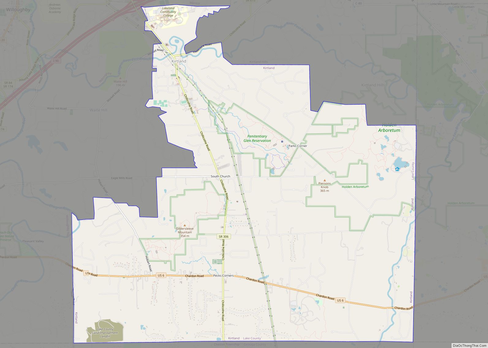
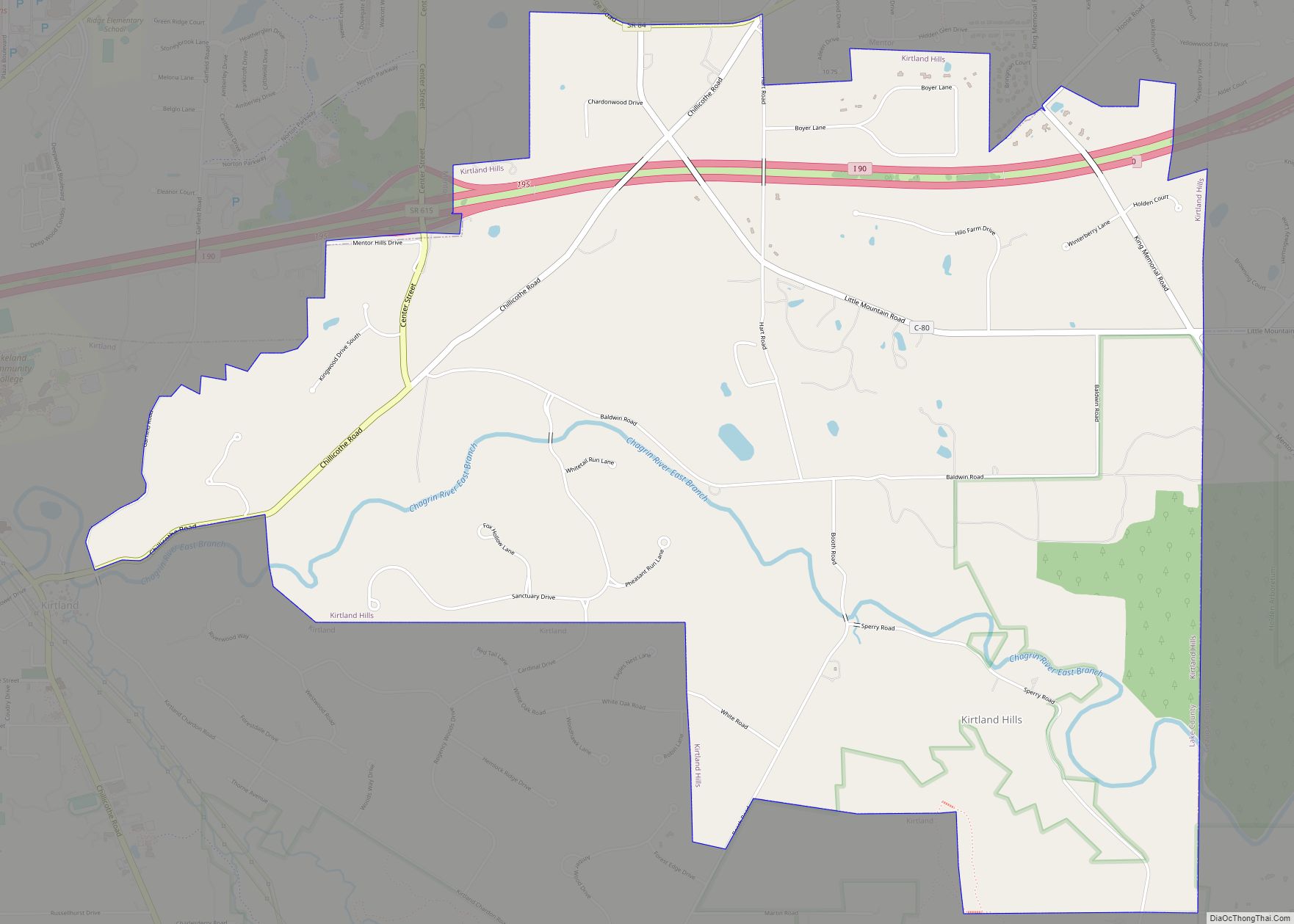
Online Interactive Map
Click on ![]() to view map in "full screen" mode.
to view map in "full screen" mode.
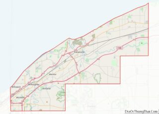
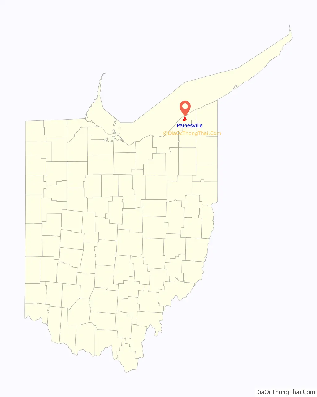
Painesville location map. Where is Painesville city?

History
Painesville was settled shortly after the American Revolutionary War. It was still considered part of the Connecticut Western Reserve. General Edward Paine (1746–1841), a native of Bolton, Connecticut, who had served as a captain in the Connecticut militia during the war, and John Walworth arrived in 1800 with a party of sixty-six settlers, among the first in the Western Reserve. General Paine later represented the region in the territorial legislature of the Northwest Territory.
In 1800 the Western Reserve became Trumbull County and at the first Court of Quarter Sessions, the county was divided into eight townships. The smallest of these townships was named Painesville, for General Paine, and encompassed what later became the townships of Perry, Leroy, Hambden, Concord, Chardon, Mentor, and Kirtland. The township government was organized in 1802. The post office in Painesville was opened in 1803 with John Walworth as postmaster.
In what was to become the commercial center of the township was a settlement called Oak Openings, its name being descriptive of the scrub oaks and sandy soil. It was here in 1805 that Gen. Henry Champion laid out a village plat and called it Champion, a name that it carried only until incorporation in 1832, when the name “Painesville” was chosen in honor of General Paine. Two of his descendants, Eleazer A. Paine and Halbert E. Paine, later served as Union Army generals during the American Civil War.
In 1840, Lake County was created from portions of Geauga and Cuyahoga Counties, and Painesville was made the county seat and a courthouse erected. In 1852, the community of Painesville became a village, and in 1902 the village attained city status.
Painesville Road Map

Painesville city Satellite Map

Geography
Painesville is located at 41°43′22″N 81°14′59″W / 41.72278°N 81.24972°W / 41.72278; -81.24972 (41.722793, -81.249597).
According to the United States Census Bureau, the city has a total area of 7.01 square miles (18.15 km), of which 6.83 square miles (17.68 km) are land and 0.18 square miles (0.47 km), or 2.59%, are water.
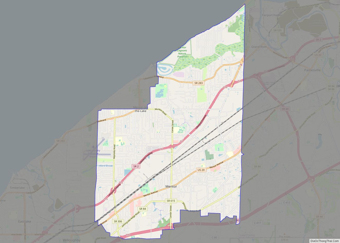
Painesville and Concord townships, along with the village of Fairport Harbor and the city of Mentor, are adjacent to Painesville.
Climate
Painesville has a hybrid between a humid subtropical and humid continental climate (Köppen Cfa/Dfa). In spite of the mild winter days, lake-effect snow usually brings a lot of accumulation in winter. Summers have warm days and quite muggy nights. Precipitation is high year-round.
See also
Map of Ohio State and its subdivision:- Adams
- Allen
- Ashland
- Ashtabula
- Athens
- Auglaize
- Belmont
- Brown
- Butler
- Carroll
- Champaign
- Clark
- Clermont
- Clinton
- Columbiana
- Coshocton
- Crawford
- Cuyahoga
- Darke
- Defiance
- Delaware
- Erie
- Fairfield
- Fayette
- Franklin
- Fulton
- Gallia
- Geauga
- Greene
- Guernsey
- Hamilton
- Hancock
- Hardin
- Harrison
- Henry
- Highland
- Hocking
- Holmes
- Huron
- Jackson
- Jefferson
- Knox
- Lake
- Lake Erie
- Lawrence
- Licking
- Logan
- Lorain
- Lucas
- Madison
- Mahoning
- Marion
- Medina
- Meigs
- Mercer
- Miami
- Monroe
- Montgomery
- Morgan
- Morrow
- Muskingum
- Noble
- Ottawa
- Paulding
- Perry
- Pickaway
- Pike
- Portage
- Preble
- Putnam
- Richland
- Ross
- Sandusky
- Scioto
- Seneca
- Shelby
- Stark
- Summit
- Trumbull
- Tuscarawas
- Union
- Van Wert
- Vinton
- Warren
- Washington
- Wayne
- Williams
- Wood
- Wyandot
- Alabama
- Alaska
- Arizona
- Arkansas
- California
- Colorado
- Connecticut
- Delaware
- District of Columbia
- Florida
- Georgia
- Hawaii
- Idaho
- Illinois
- Indiana
- Iowa
- Kansas
- Kentucky
- Louisiana
- Maine
- Maryland
- Massachusetts
- Michigan
- Minnesota
- Mississippi
- Missouri
- Montana
- Nebraska
- Nevada
- New Hampshire
- New Jersey
- New Mexico
- New York
- North Carolina
- North Dakota
- Ohio
- Oklahoma
- Oregon
- Pennsylvania
- Rhode Island
- South Carolina
- South Dakota
- Tennessee
- Texas
- Utah
- Vermont
- Virginia
- Washington
- West Virginia
- Wisconsin
- Wyoming