Perrysburg is a city located in Wood County, Ohio, United States, along the south side of the Maumee River. The population was 25,041 at the 2020 census. Part of the Toledo metropolitan area, the city is 12 miles (19 km) southwest of Toledo. It served as the county seat from 1822 to 1868, and it is still the second-largest city in Wood County. After Bowling Green was designated as county seat, it surpassed Perrysburg in size.
Perrysburg was surveyed and platted by a federal survey team in summer 1816. A local legend has held that it was designed by noted architect Charles Pierre L’Enfant, after he planned Washington, DC, but this has not been supported by fact.
| Name: | Perrysburg city |
|---|---|
| LSAD Code: | 25 |
| LSAD Description: | city (suffix) |
| State: | Ohio |
| County: | Wood County |
| Elevation: | 630 ft (192 m) |
| Total Area: | 11.93 sq mi (30.91 km²) |
| Land Area: | 11.89 sq mi (30.80 km²) |
| Water Area: | 0.04 sq mi (0.11 km²) |
| Total Population: | 25,041 |
| Population Density: | 1,818.53/sq mi (702.15/km²) |
| ZIP code: | 43551–43552 |
| Area code: | 419 |
| FIPS code: | 3962148 |
| GNISfeature ID: | 1066139 |
| Website: | ci.perrysburg.oh.us |
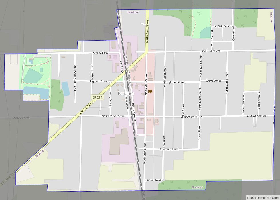
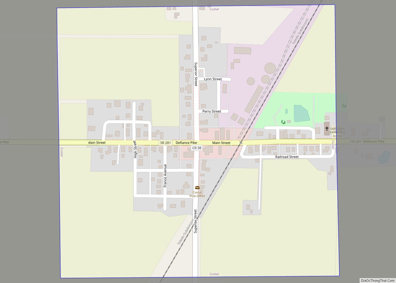
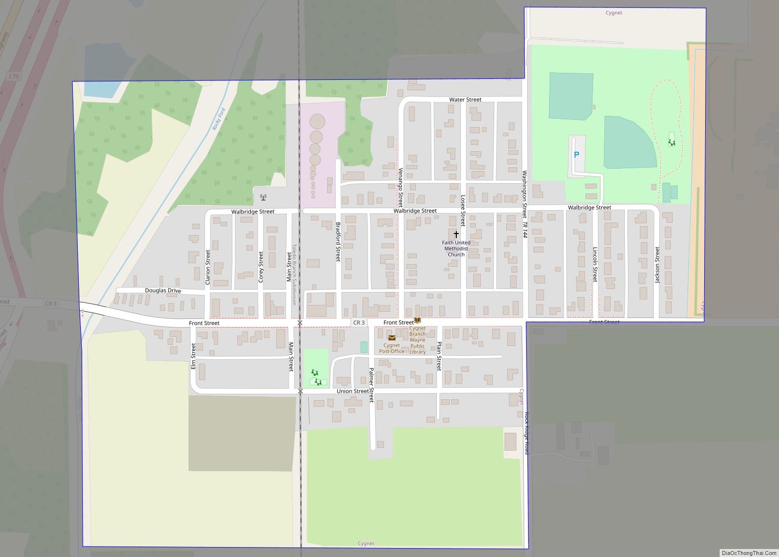
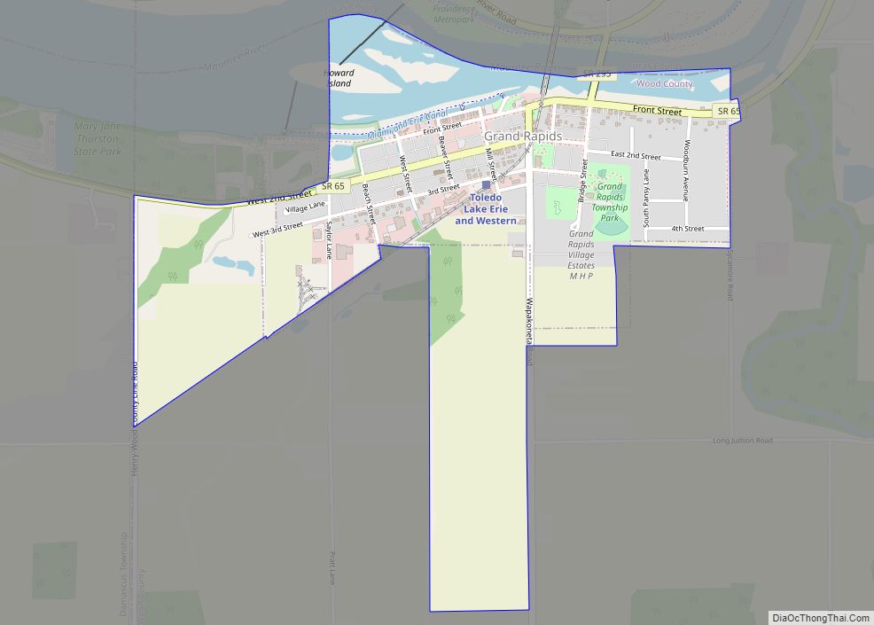
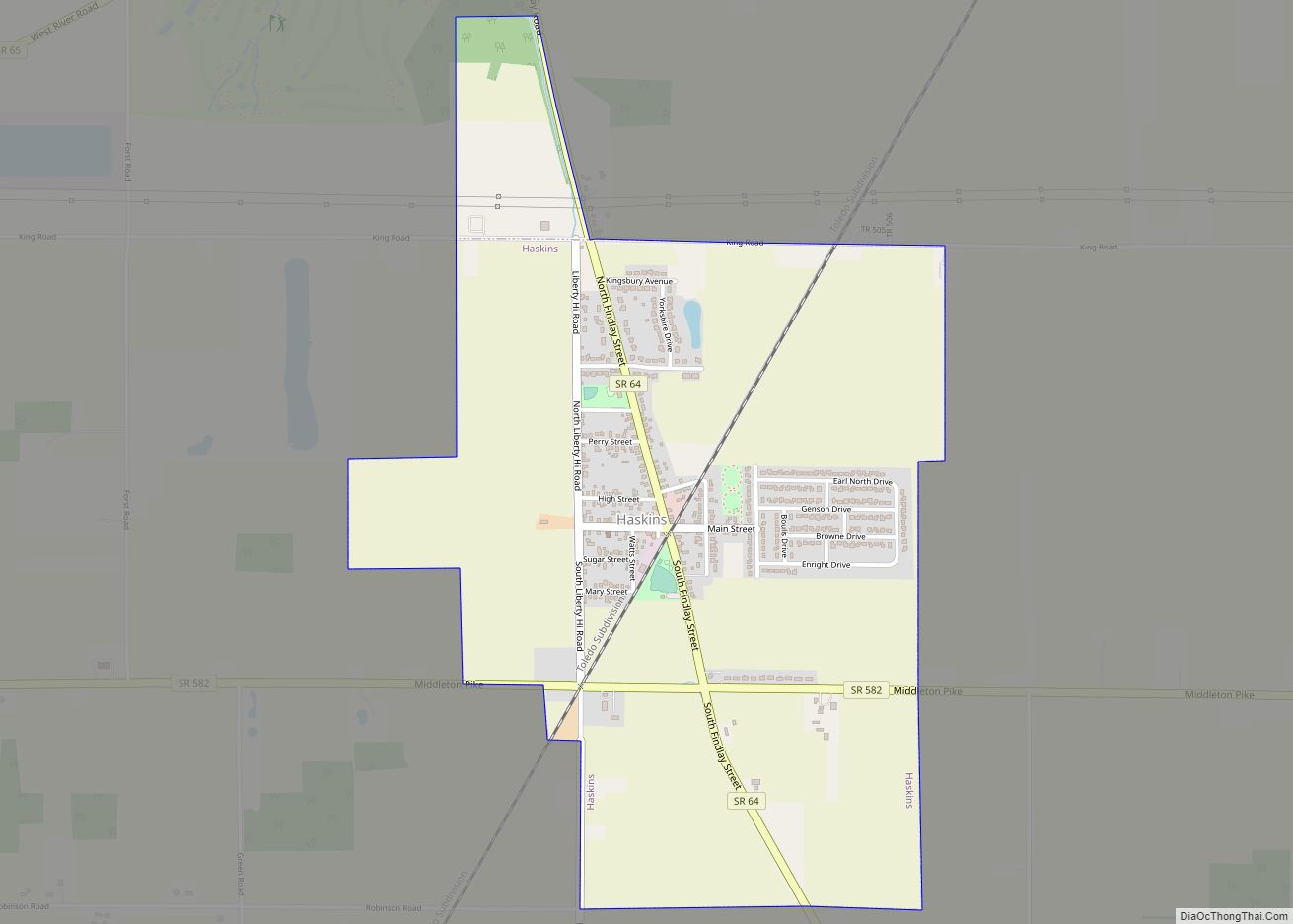
Online Interactive Map
Click on ![]() to view map in "full screen" mode.
to view map in "full screen" mode.
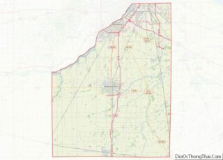
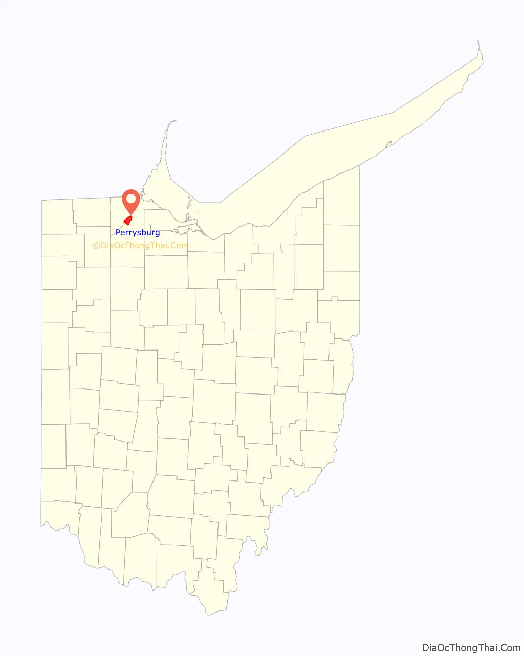
Perrysburg location map. Where is Perrysburg city?

History
Early history
Perrysburg lies near the center of the Twelve Mile Square Reservation, a tract of land ceded in 1795 to the United States of America by the Odawa people following their defeat in the Northwest Indian Wars. They had occupied this territory since the turn of the 18th century, after having settled in the region of the French trading post at Fort Detroit. Also known as the Ottawa, they had controlled much of the territory along the Maumee River in present-day northwestern Ohio.
In 1810, early European-American settlers here were Major Amos Spafford (1753-1818), his wife Olive (1756-1823), and their four children. In 1796, Spafford, a native of Connecticut, was a surveyor for the Connecticut Land Company. He drew the first map laying out Cleveland and named the city. He left there in 1810 following appointment as US Customs Collector and postmaster for the new port at the Foot of the Rapids of the Miami of the Lake Maumee River. Two years later, 67 families lived in the area, but most fled at the outbreak of the War of 1812.
After the war and the 1817 Treaty of Fort Meigs, which extinguished the Ottawa claim to this area, Spafford returned to the area. He settled on a 160-acre land grant, signed by President James Monroe, on River Tract #64 in Waynesfield Township. Other veterans who received land grants for their service during that war also settled in this area.
War of 1812
When the war clouds of 1812 began to edge toward Northwest Ohio, General William Henry Harrison ordered the construction of the fort, beginning in February 1813. Harrison was General Anthony Wayne’s former aide-de-camp. Later he was elected as the country’s ninth president. The installation was named Fort Meigs in honor of Ohio’s fourth governor, Return Jonathan Meigs. Fort Meigs was constructed on a bluff above the Maumee River, and built from a design by army engineer Captain Eleazer D. Wood, for whom the county would be named. Two critical battles with the British were fought at the fort during the War of 1812.
Early settlers in the area fled to Huron during the War of 1812. They returned to settle in the floodplain below Fort Meigs, calling the settlement Orleans. They moved to higher ground after being flooded out.
Alexander Bourne led a surveying team to plan and plat Perrysburg. He was appointed to that position by Edward Tiffin, Surveyor General of the United States. This survey was performed in late June and early July 1816, by surveyors Joseph Wampler and William Brookfield under the auspices of Bourne and Josiah Meigs, Surveyor General of Ohio, Michigan, Indiana, Illinois, and Missouri.
Some postings on the Internet have claimed that Charles Pierre L’Enfant, noted designer of Washington, DC, had also surveyed and platted Perrysburg, Ohio. Prior to the city’s 200th anniversary celebration, the Historical Society hired former engineers to assess this claim. The researchers studied local, state and federal archives, but found no support for this position.
Growth of Perrysburg
The town soon became a center for shipbuilding and commerce on Lake Erie. It was named after Commodore Oliver Hazard Perry, naval commander during the War of 1812 and hero of the Battle of Lake Erie. From 1822 to 1868 Perrysburg served as the county seat.
In 1833, Perrysburg contained a courthouse, jail, schoolhouse, two stores, two taverns, two physicians, two lawyers, about 60 houses, and 250 inhabitants.
In 1854, an epidemic of cholera devastated the population. It had spread with residents and travelers along the waterways because of the lack of adequate sanitation. Perryville closed down for two months in that summer, trying to contain the epidemic at a time when people did not understand how the disease was transmitted. More than 100 people died. Other towns along the Maumee River also suffered high losses from the epidemic. Providence, Ohio was abandoned. It had suffered a disastrous fire less than a decade before.
Modern Perrysburg
On October 12, 1984 President Ronald Reagan made a whistle stop in Perrysburg while traveling in the historic Ferdinand Magellan railroad car. He drew a crowd of over 20,000.
Perrysburg Road Map
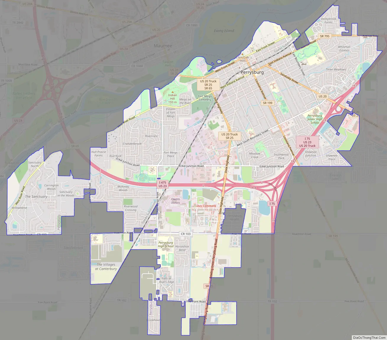
Perrysburg city Satellite Map

Geography
According to the United States Census Bureau, the city has a total area of 11.51 square miles (29.81 km), all land. Contrary to popular opinion and hundreds of historical articles, the 1816 survey of Perrysburg encompassed 1.786 square miles, NOT 1.000 square miles.
See also
Map of Ohio State and its subdivision:- Adams
- Allen
- Ashland
- Ashtabula
- Athens
- Auglaize
- Belmont
- Brown
- Butler
- Carroll
- Champaign
- Clark
- Clermont
- Clinton
- Columbiana
- Coshocton
- Crawford
- Cuyahoga
- Darke
- Defiance
- Delaware
- Erie
- Fairfield
- Fayette
- Franklin
- Fulton
- Gallia
- Geauga
- Greene
- Guernsey
- Hamilton
- Hancock
- Hardin
- Harrison
- Henry
- Highland
- Hocking
- Holmes
- Huron
- Jackson
- Jefferson
- Knox
- Lake
- Lake Erie
- Lawrence
- Licking
- Logan
- Lorain
- Lucas
- Madison
- Mahoning
- Marion
- Medina
- Meigs
- Mercer
- Miami
- Monroe
- Montgomery
- Morgan
- Morrow
- Muskingum
- Noble
- Ottawa
- Paulding
- Perry
- Pickaway
- Pike
- Portage
- Preble
- Putnam
- Richland
- Ross
- Sandusky
- Scioto
- Seneca
- Shelby
- Stark
- Summit
- Trumbull
- Tuscarawas
- Union
- Van Wert
- Vinton
- Warren
- Washington
- Wayne
- Williams
- Wood
- Wyandot
- Alabama
- Alaska
- Arizona
- Arkansas
- California
- Colorado
- Connecticut
- Delaware
- District of Columbia
- Florida
- Georgia
- Hawaii
- Idaho
- Illinois
- Indiana
- Iowa
- Kansas
- Kentucky
- Louisiana
- Maine
- Maryland
- Massachusetts
- Michigan
- Minnesota
- Mississippi
- Missouri
- Montana
- Nebraska
- Nevada
- New Hampshire
- New Jersey
- New Mexico
- New York
- North Carolina
- North Dakota
- Ohio
- Oklahoma
- Oregon
- Pennsylvania
- Rhode Island
- South Carolina
- South Dakota
- Tennessee
- Texas
- Utah
- Vermont
- Virginia
- Washington
- West Virginia
- Wisconsin
- Wyoming