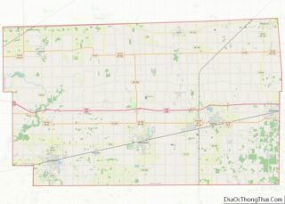
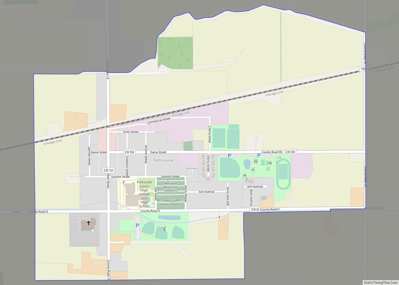
Pettisville is an unincorporated community and census-designated place (CDP) in Clinton and German townships, Fulton County, Ohio, United States. Located at the intersection of County Road 19 and Country Road D, its elevation is 755 feet (230 m). As of the 2010 census the population was 498.
| Name: | Pettisville CDP |
|---|---|
| LSAD Code: | 57 |
| LSAD Description: | CDP (suffix) |
| State: | Ohio |
| County: | Fulton County |
| Elevation: | 755 ft (230 m) |
| Total Area: | 0.95 sq mi (2.47 km²) |
| Land Area: | 0.95 sq mi (2.46 km²) |
| Water Area: | 0.00 sq mi (0.00 km²) |
| Total Population: | 469 |
| Population Density: | 492.65/sq mi (190.31/km²) |
| ZIP code: | 43553 |
| FIPS code: | 3962344 |
| GNISfeature ID: | 1044409 |
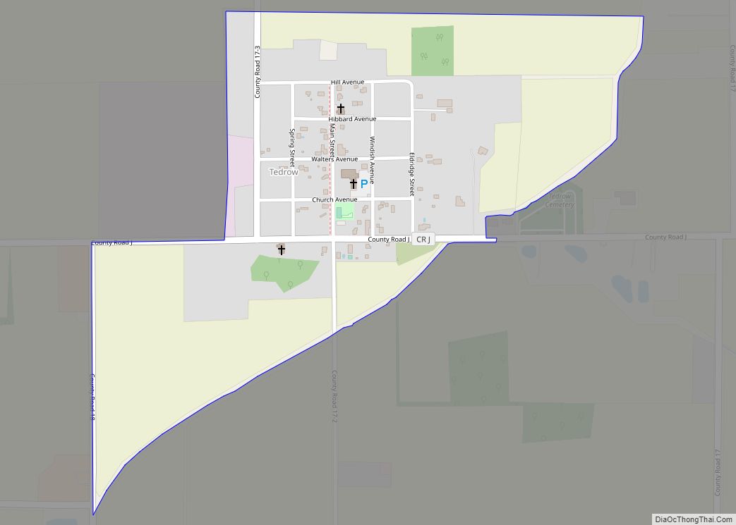
Online Interactive Map
Click on ![]() to view map in "full screen" mode.
to view map in "full screen" mode.
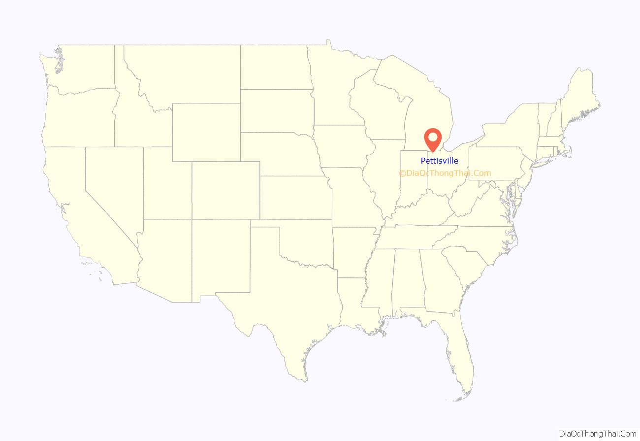
Pettisville location map. Where is Pettisville CDP?
History
Pettisville was laid out in 1857, and most likely was named for one Mr. Pettis, a railroad contractor. A post office was established at Pettisville in 1857.
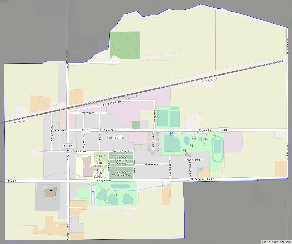
Pettisville Road Map
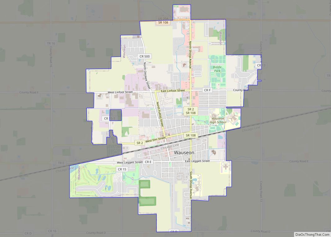
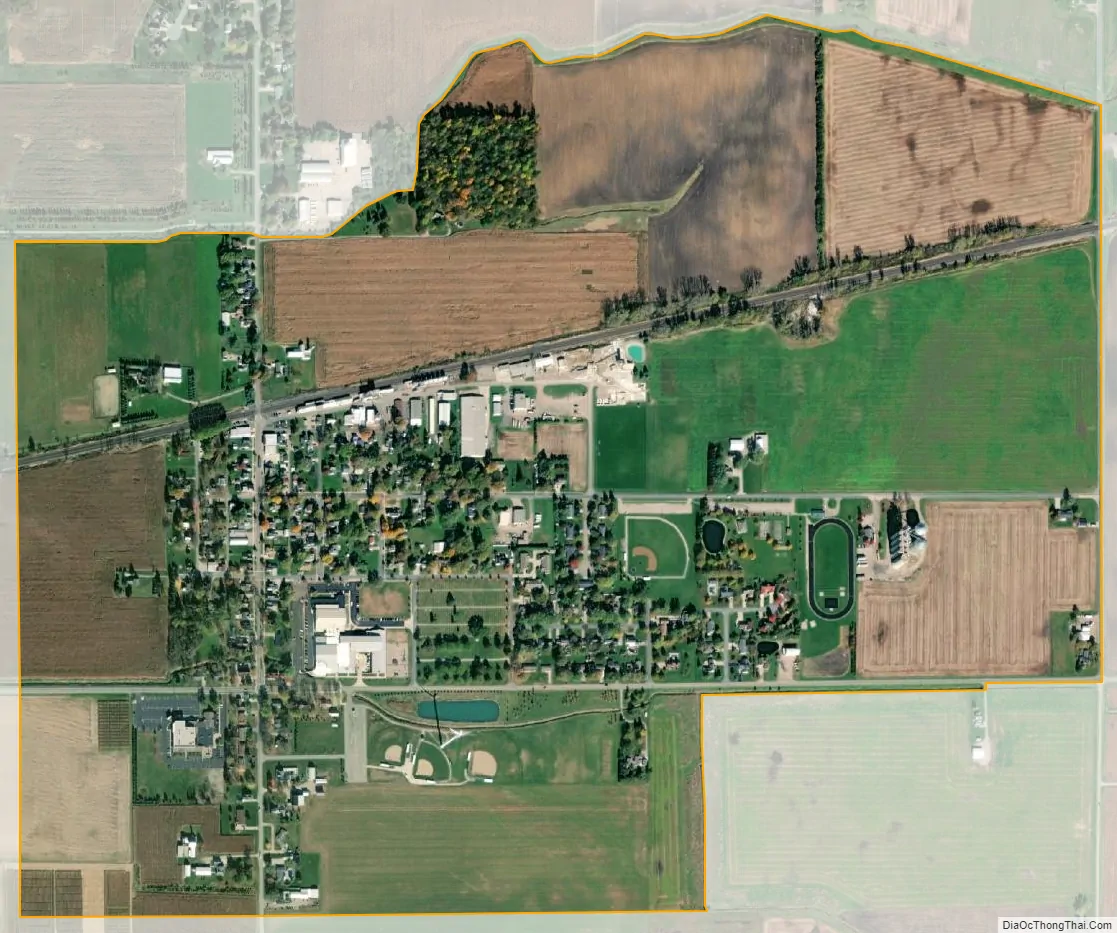
Pettisville city Satellite Map
Geography
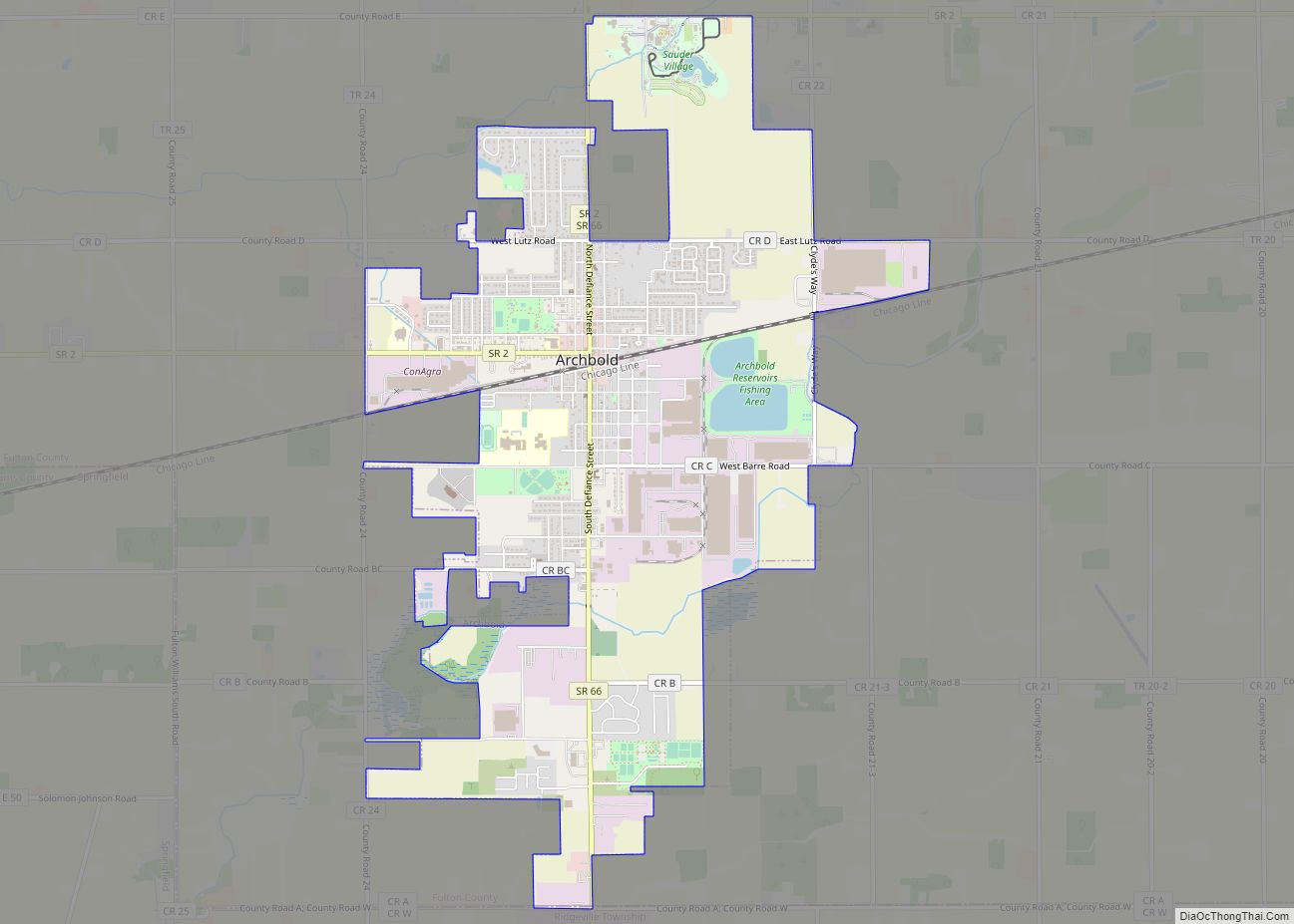
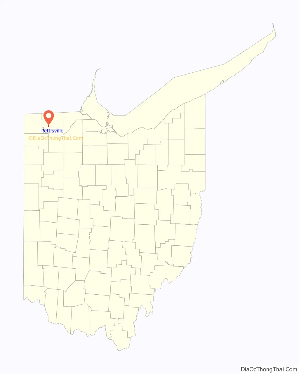
Pettisville is in southwestern Fulton County, with the eastern portion of the community in Clinton Township and the western portion in German Township. Via County Road 19 it is 0.8 miles (1.3 km) north to Ohio State Route 2, which leads east 5 miles (8 km) to Wauseon, the Fulton County seat. Archbold is 5 miles (8 km) west of Pettisville via County Road D.
According to the U.S. Census Bureau, the Pettisville CDP has an area of 0.97 square miles (2.5 km), all of it land.
See also
Map of Ohio State and its subdivision:- Adams
- Allen
- Ashland
- Ashtabula
- Athens
- Auglaize
- Belmont
- Brown
- Butler
- Carroll
- Champaign
- Clark
- Clermont
- Clinton
- Columbiana
- Coshocton
- Crawford
- Cuyahoga
- Darke
- Defiance
- Delaware
- Erie
- Fairfield
- Fayette
- Franklin
- Fulton
- Gallia
- Geauga
- Greene
- Guernsey
- Hamilton
- Hancock
- Hardin
- Harrison
- Henry
- Highland
- Hocking
- Holmes
- Huron
- Jackson
- Jefferson
- Knox
- Lake
- Lake Erie
- Lawrence
- Licking
- Logan
- Lorain
- Lucas
- Madison
- Mahoning
- Marion
- Medina
- Meigs
- Mercer
- Miami
- Monroe
- Montgomery
- Morgan
- Morrow
- Muskingum
- Noble
- Ottawa
- Paulding
- Perry
- Pickaway
- Pike
- Portage
- Preble
- Putnam
- Richland
- Ross
- Sandusky
- Scioto
- Seneca
- Shelby
- Stark
- Summit
- Trumbull
- Tuscarawas
- Union
- Van Wert
- Vinton
- Warren
- Washington
- Wayne
- Williams
- Wood
- Wyandot
- Alabama
- Alaska
- Arizona
- Arkansas
- California
- Colorado
- Connecticut
- Delaware
- District of Columbia
- Florida
- Georgia
- Hawaii
- Idaho
- Illinois
- Indiana
- Iowa
- Kansas
- Kentucky
- Louisiana
- Maine
- Maryland
- Massachusetts
- Michigan
- Minnesota
- Mississippi
- Missouri
- Montana
- Nebraska
- Nevada
- New Hampshire
- New Jersey
- New Mexico
- New York
- North Carolina
- North Dakota
- Ohio
- Oklahoma
- Oregon
- Pennsylvania
- Rhode Island
- South Carolina
- South Dakota
- Tennessee
- Texas
- Utah
- Vermont
- Virginia
- Washington
- West Virginia
- Wisconsin
- Wyoming