Pioneer is a village in Williams County, Ohio, United States. The population was 1,369 at the 2010 census.
| Name: | Pioneer village |
|---|---|
| LSAD Code: | 47 |
| LSAD Description: | village (suffix) |
| State: | Ohio |
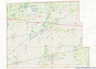
| County: | Williams County |
| Elevation: | 879 ft (268 m) |
| Total Area: | 2.11 sq mi (5.47 km²) |
| Land Area: | 2.04 sq mi (5.28 km²) |
| Water Area: | 0.07 sq mi (0.18 km²) |
| Total Population: | 1,429 |
| Population Density: | 700.49/sq mi (270.51/km²) |
| ZIP code: | 43554 |
| Area code: | 419 |
| FIPS code: | 3962834 |
| GNISfeature ID: | 1044482 |
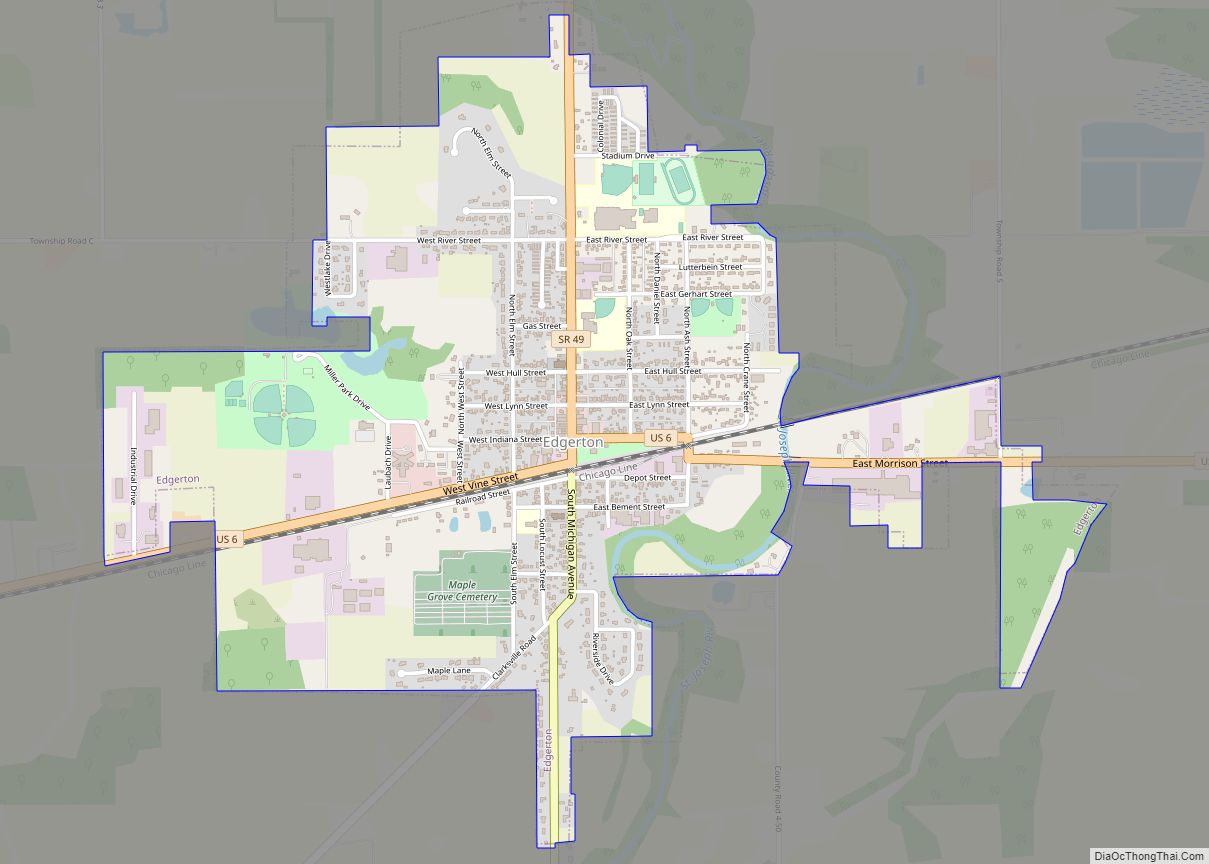
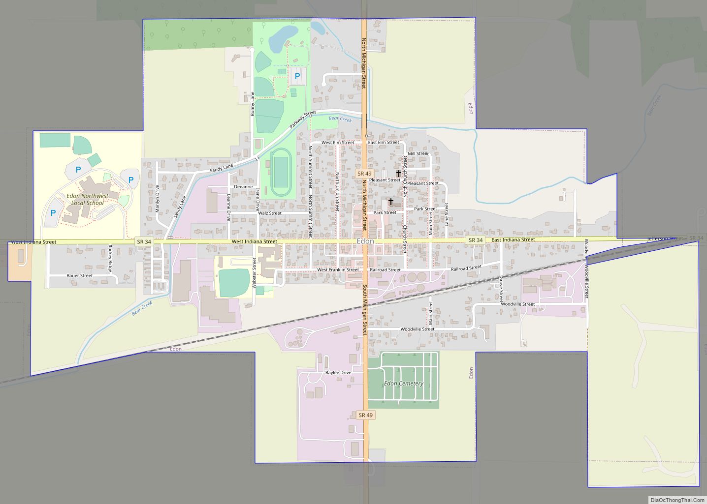
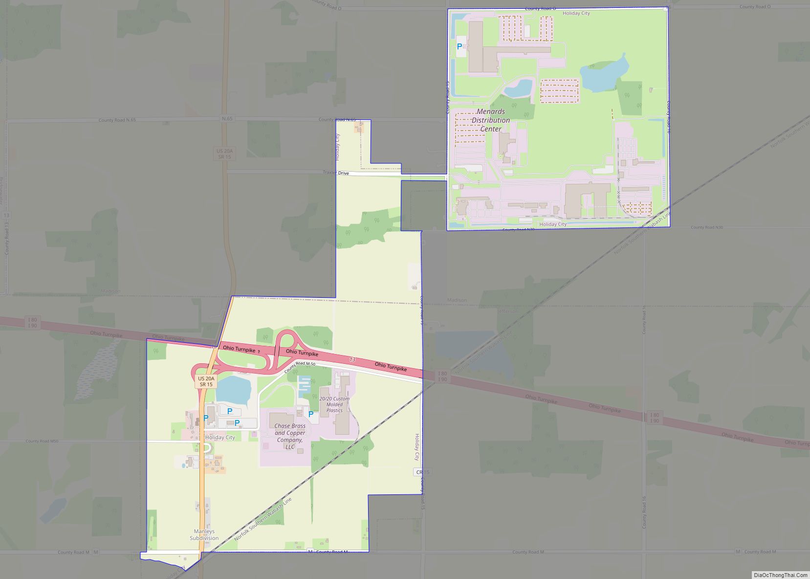
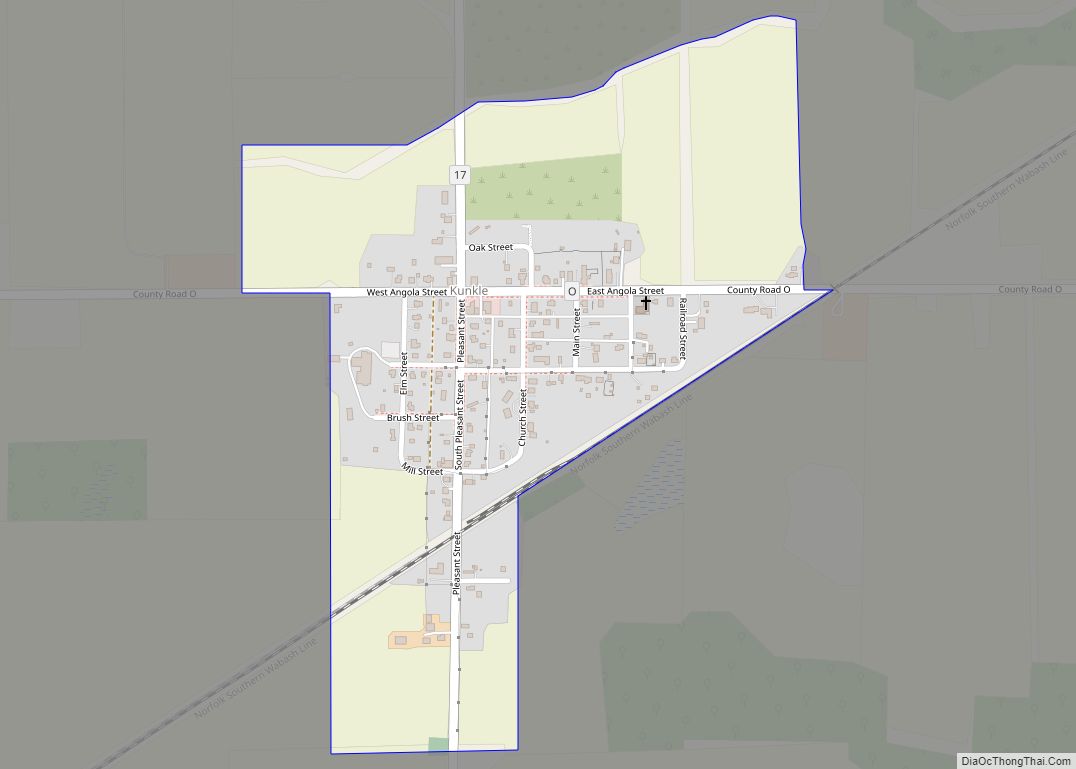
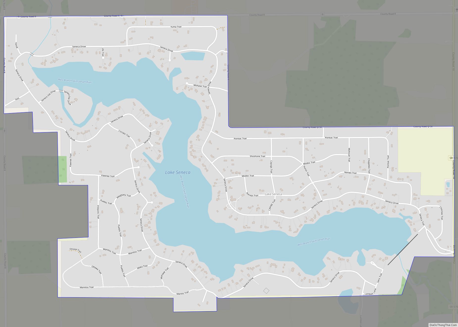
Online Interactive Map
Click on ![]() to view map in "full screen" mode.
to view map in "full screen" mode.
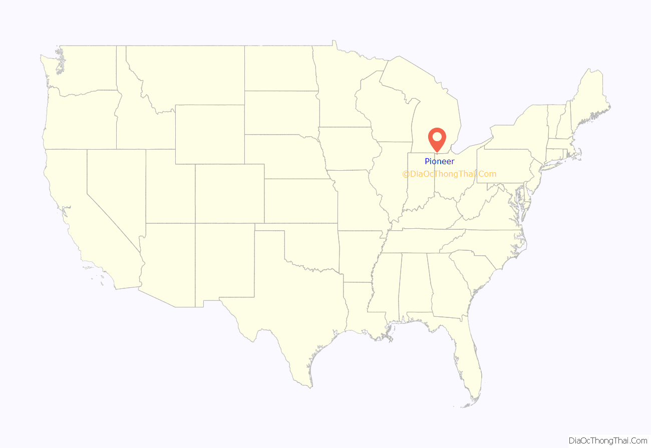
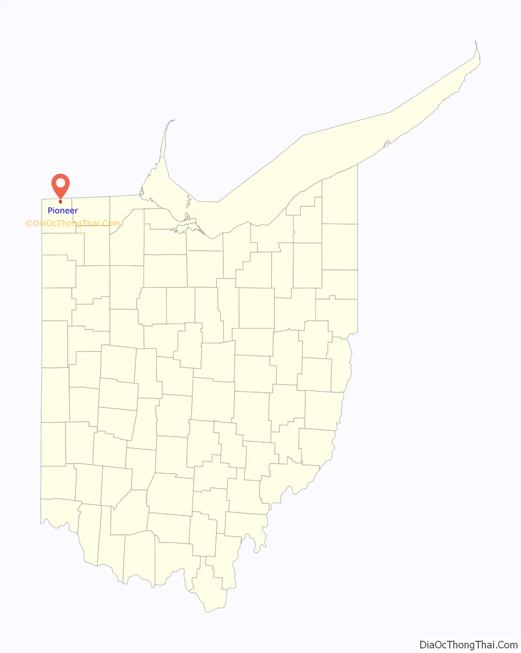
Pioneer location map. Where is Pioneer village?
History
Pioneer was platted in 1853. A post office has been in operation at Pioneer since 1851.
From 1903, the village was the terminus of an electric interurban passenger railroad from Toledo called the Toledo and Western Railway, which was hoping to become a link in an electric rail service from that city to Chicago but which got no further. The line closed to passengers in 1933 but continued freight service until 1943, from 1934 as the Pioneer and Fayette Railroad. This was only formally abandoned in 1991.
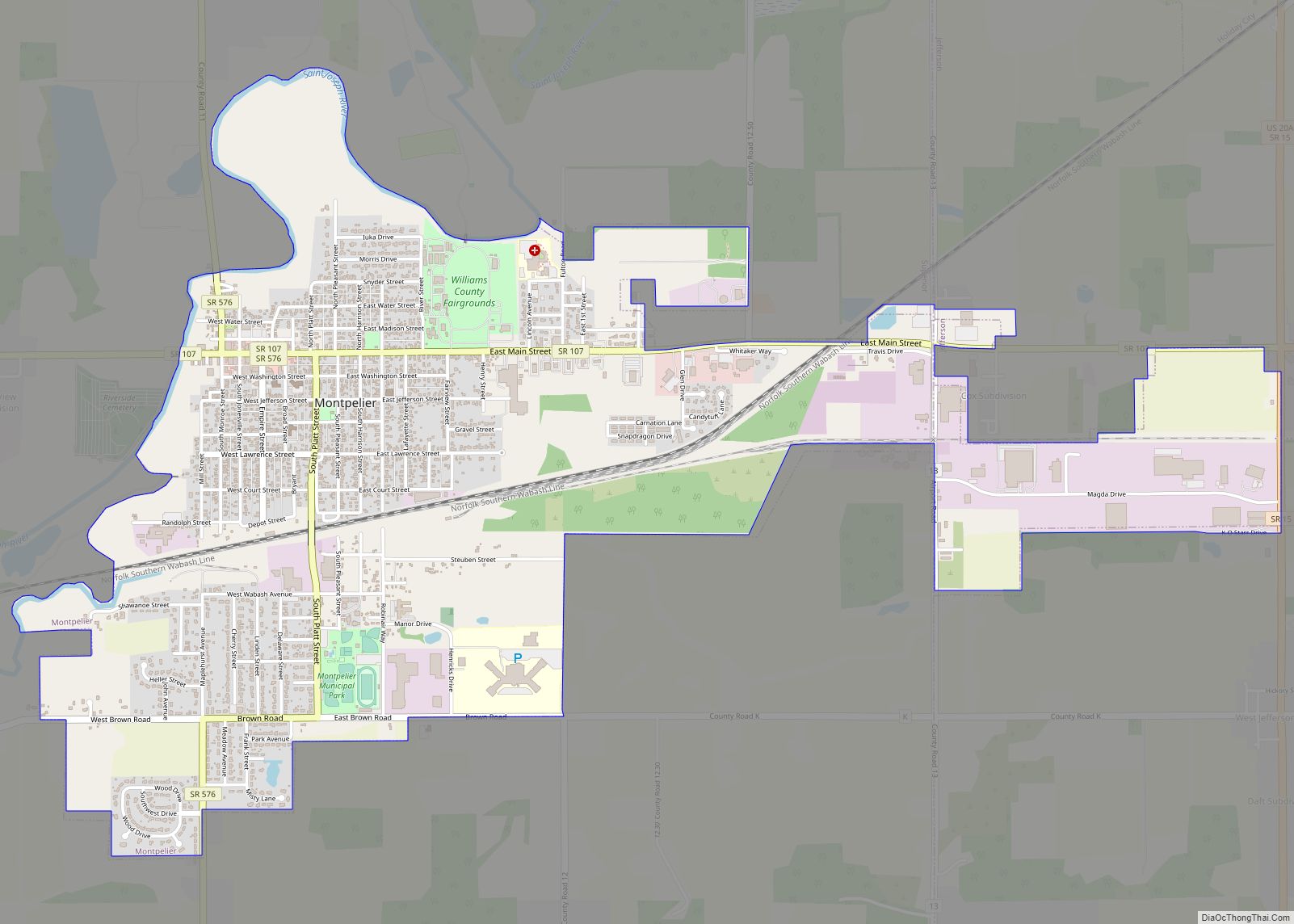
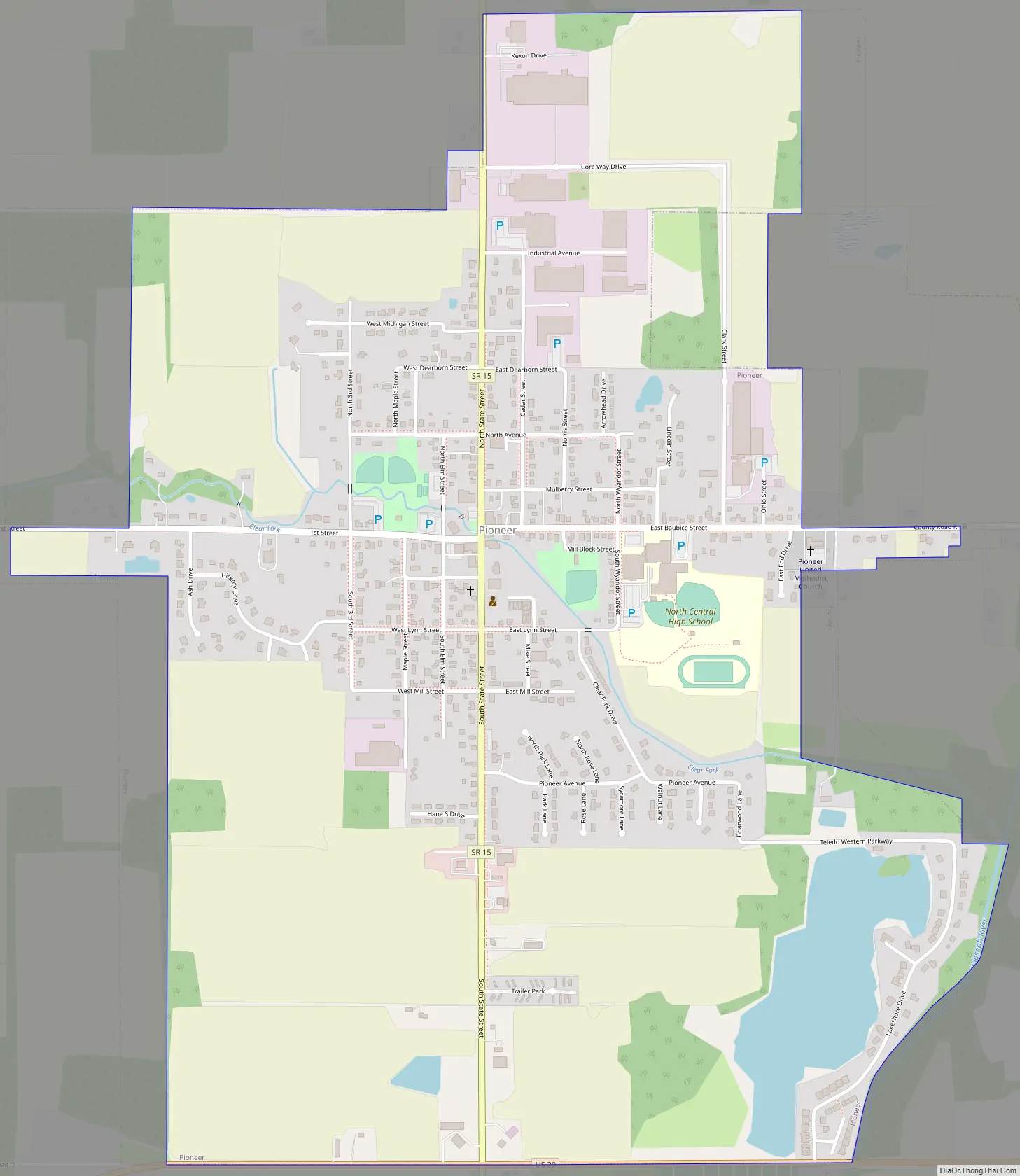
Pioneer Road Map
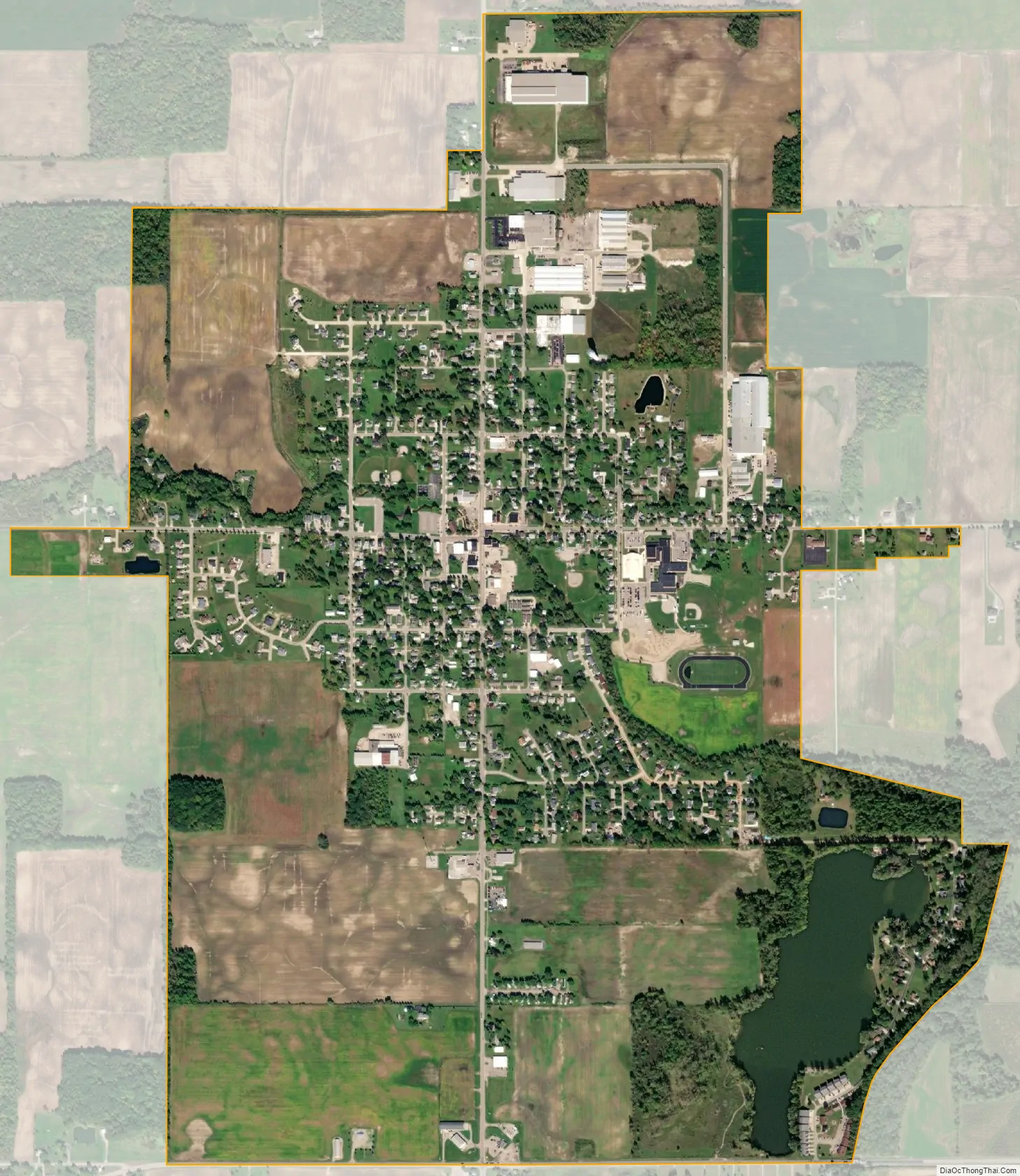
Pioneer city Satellite Map
Geography
Pioneer is located at 41°40′50″N 84°33′10″W / 41.68056°N 84.55278°W / 41.68056; -84.55278 (41.680569, -84.552796).
According to the United States Census Bureau, the village has a total area of 2.09 square miles (5.41 km), of which 2.02 square miles (5.23 km) is land and 0.07 square miles (0.18 km) is water.
See also
Map of Ohio State and its subdivision:- Adams
- Allen
- Ashland
- Ashtabula
- Athens
- Auglaize
- Belmont
- Brown
- Butler
- Carroll
- Champaign
- Clark
- Clermont
- Clinton
- Columbiana
- Coshocton
- Crawford
- Cuyahoga
- Darke
- Defiance
- Delaware
- Erie
- Fairfield
- Fayette
- Franklin
- Fulton
- Gallia
- Geauga
- Greene
- Guernsey
- Hamilton
- Hancock
- Hardin
- Harrison
- Henry
- Highland
- Hocking
- Holmes
- Huron
- Jackson
- Jefferson
- Knox
- Lake
- Lake Erie
- Lawrence
- Licking
- Logan
- Lorain
- Lucas
- Madison
- Mahoning
- Marion
- Medina
- Meigs
- Mercer
- Miami
- Monroe
- Montgomery
- Morgan
- Morrow
- Muskingum
- Noble
- Ottawa
- Paulding
- Perry
- Pickaway
- Pike
- Portage
- Preble
- Putnam
- Richland
- Ross
- Sandusky
- Scioto
- Seneca
- Shelby
- Stark
- Summit
- Trumbull
- Tuscarawas
- Union
- Van Wert
- Vinton
- Warren
- Washington
- Wayne
- Williams
- Wood
- Wyandot
- Alabama
- Alaska
- Arizona
- Arkansas
- California
- Colorado
- Connecticut
- Delaware
- District of Columbia
- Florida
- Georgia
- Hawaii
- Idaho
- Illinois
- Indiana
- Iowa
- Kansas
- Kentucky
- Louisiana
- Maine
- Maryland
- Massachusetts
- Michigan
- Minnesota
- Mississippi
- Missouri
- Montana
- Nebraska
- Nevada
- New Hampshire
- New Jersey
- New Mexico
- New York
- North Carolina
- North Dakota
- Ohio
- Oklahoma
- Oregon
- Pennsylvania
- Rhode Island
- South Carolina
- South Dakota
- Tennessee
- Texas
- Utah
- Vermont
- Virginia
- Washington
- West Virginia
- Wisconsin
- Wyoming