Plain City is a village in Madison and Union counties in the U.S. state of Ohio, along Big Darby Creek. The population was 4,225 at the 2010 census. According to the official website, their mission statement is “to govern with integrity and fiscal responsibility providing quality services and programs to promote prosperity, safety and the well-being of our citizens and community”.
| Name: | Plain City village |
|---|---|
| LSAD Code: | 47 |
| LSAD Description: | village (suffix) |
| State: | Ohio |
| County: | Madison County, Union County |
| Elevation: | 935 ft (285 m) |
| Total Area: | 1,587.2 acres (7.20 km²) |
| Land Area: | 1,574.4 acres (637.14 ha) |
| Water Area: | 12.8 acres (5.18 ha) 1.2% |
| Total Population: | 4,065 |
| Population Density: | 1,477.11/sq mi (570.32/km²) |
| ZIP code: | 43064 |
| Area code: | 614 |
| FIPS code: | 3963030 |
| GNISfeature ID: | 1061547 |
Online Interactive Map
Click on ![]() to view map in "full screen" mode.
to view map in "full screen" mode.
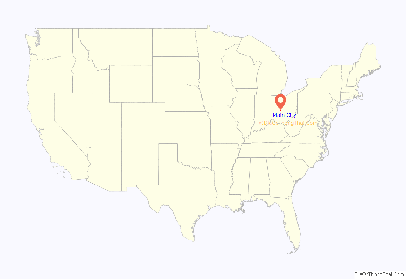
Plain City location map. Where is Plain City village?
History
Until about 1800, the Ohio Country was inhabited by Mingo and Wyandot Indians, and there was an Indian village just north of present-day Plain City. After 1795, as white settlers began moving into the region, the area around present-day Plain City was referred to as Pleasant Valley. This name remained in use into the 20th century, appearing in the Ohio Guide of the late Depression era.
In 1814, Isaac Bigelow travelled to the area from Centre County, Pennsylvania, to pay for land purchased from his uncle, then returned to Pennsylvania to study medicine with his father. He returned in 1817, and settled in the Pleasant Valley area in 1818. He hired a surveyor named David Chapman, and laid out the town of Westminster on June 11, 1818. At the time, Westminster lay wholly within Darby Township in Madison County. In 1820, when Union County was formed, the county line was moved to the middle of Westminster. In 1823, the previous survey was resurveyed, additional territory was incorporated, and the town’s name was changed from Westminster to Pleasant Valley. From 1832 to 1851, there were six additions to the town limits. In 1851, due to there already being another town in Ohio named Pleasant Valley, the town changed its name to Plain City.
Previous to 1850, Plain City was a smaller trading point than Amity, but after a trunk-line for the Atlantic and Great Western Railroad was laid through its corporation limits, business and manufacturing increased dramatically. The corporation limits were extended in 1868. As of 1875, the town contained five churches, one newspaper, one bank, one brick planing mill, one flour mill, four dry goods stores, three drug stores, three grocery stores, one jewelry store, one hotel, one carriage and wagon store, two harness shops, two wagon shops, two blacksmith shops, and a boot and shoe store.
The Farmers National Bank, a building at the intersection of State Route 161 and Chillicothe Street, was built in 1902, and was listed on the National Register of Historic Places in 1995. The town clock, located at the same intersection, was dedicated on November 15, 1902.
An Amish settlement at Plain City that was founded in 1896 dissolved in 2011.
The village has grown in recent years with the addition of new housing developments. Darby Fields on the south side of the village broke ground in 2017. Darby Station on the east side of the village broke ground in 2022.
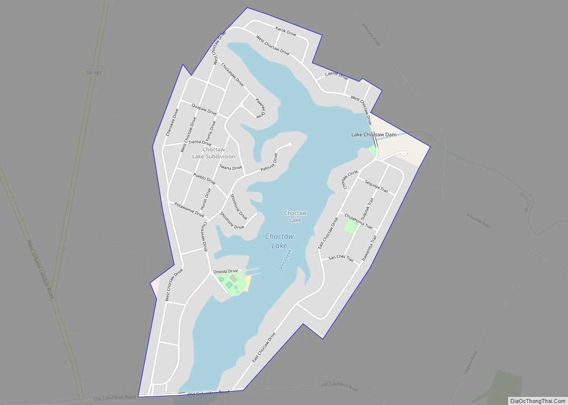
Plain City Road Map
Plain City city Satellite Map
Geography
Plain City is located at the juncture of U.S. Route 42 and State Route 161, eight minutes from Dublin and 12 minutes from Marysville.
According to the United States Census Bureau, the village has a total area of 2.40 square miles (6.22 km), of which 2.38 square miles (6.16 km) is land and 0.02 square miles (0.05 km) is water.
See also
Map of Ohio State and its subdivision:- Adams
- Allen
- Ashland
- Ashtabula
- Athens
- Auglaize
- Belmont
- Brown
- Butler
- Carroll
- Champaign
- Clark
- Clermont
- Clinton
- Columbiana
- Coshocton
- Crawford
- Cuyahoga
- Darke
- Defiance
- Delaware
- Erie
- Fairfield
- Fayette
- Franklin
- Fulton
- Gallia
- Geauga
- Greene
- Guernsey
- Hamilton
- Hancock
- Hardin
- Harrison
- Henry
- Highland
- Hocking
- Holmes
- Huron
- Jackson
- Jefferson
- Knox
- Lake
- Lake Erie
- Lawrence
- Licking
- Logan
- Lorain
- Lucas
- Madison
- Mahoning
- Marion
- Medina
- Meigs
- Mercer
- Miami
- Monroe
- Montgomery
- Morgan
- Morrow
- Muskingum
- Noble
- Ottawa
- Paulding
- Perry
- Pickaway
- Pike
- Portage
- Preble
- Putnam
- Richland
- Ross
- Sandusky
- Scioto
- Seneca
- Shelby
- Stark
- Summit
- Trumbull
- Tuscarawas
- Union
- Van Wert
- Vinton
- Warren
- Washington
- Wayne
- Williams
- Wood
- Wyandot
- Alabama
- Alaska
- Arizona
- Arkansas
- California
- Colorado
- Connecticut
- Delaware
- District of Columbia
- Florida
- Georgia
- Hawaii
- Idaho
- Illinois
- Indiana
- Iowa
- Kansas
- Kentucky
- Louisiana
- Maine
- Maryland
- Massachusetts
- Michigan
- Minnesota
- Mississippi
- Missouri
- Montana
- Nebraska
- Nevada
- New Hampshire
- New Jersey
- New Mexico
- New York
- North Carolina
- North Dakota
- Ohio
- Oklahoma
- Oregon
- Pennsylvania
- Rhode Island
- South Carolina
- South Dakota
- Tennessee
- Texas
- Utah
- Vermont
- Virginia
- Washington
- West Virginia
- Wisconsin
- Wyoming
