Poland is a village in eastern Mahoning County, Ohio, United States. The population was 2,463 at the 2020 census. A suburb about 7 miles (11 km) south of Youngstown, it is part of the Youngstown–Warren metropolitan area.
| Name: | Poland village |
|---|---|
| LSAD Code: | 47 |
| LSAD Description: | village (suffix) |
| State: | Ohio |
| County: | Mahoning County |
| Founded: | 1798 |
| Incorporated: | 1866 |
| Elevation: | 1,043 ft (318 m) |
| Total Area: | 1.66 sq mi (4.29 km²) |
| Land Area: | 1.63 sq mi (4.23 km²) |
| Water Area: | 0.02 sq mi (0.06 km²) |
| Total Population: | 2,463 |
| Population Density: | 1,507.34/sq mi (581.85/km²) |
| ZIP code: | 44514 |
| Area code: | 234/330 |
| FIPS code: | 3963954 |
| GNISfeature ID: | 1061561 |
| Website: | https://polandvillage.org/ |
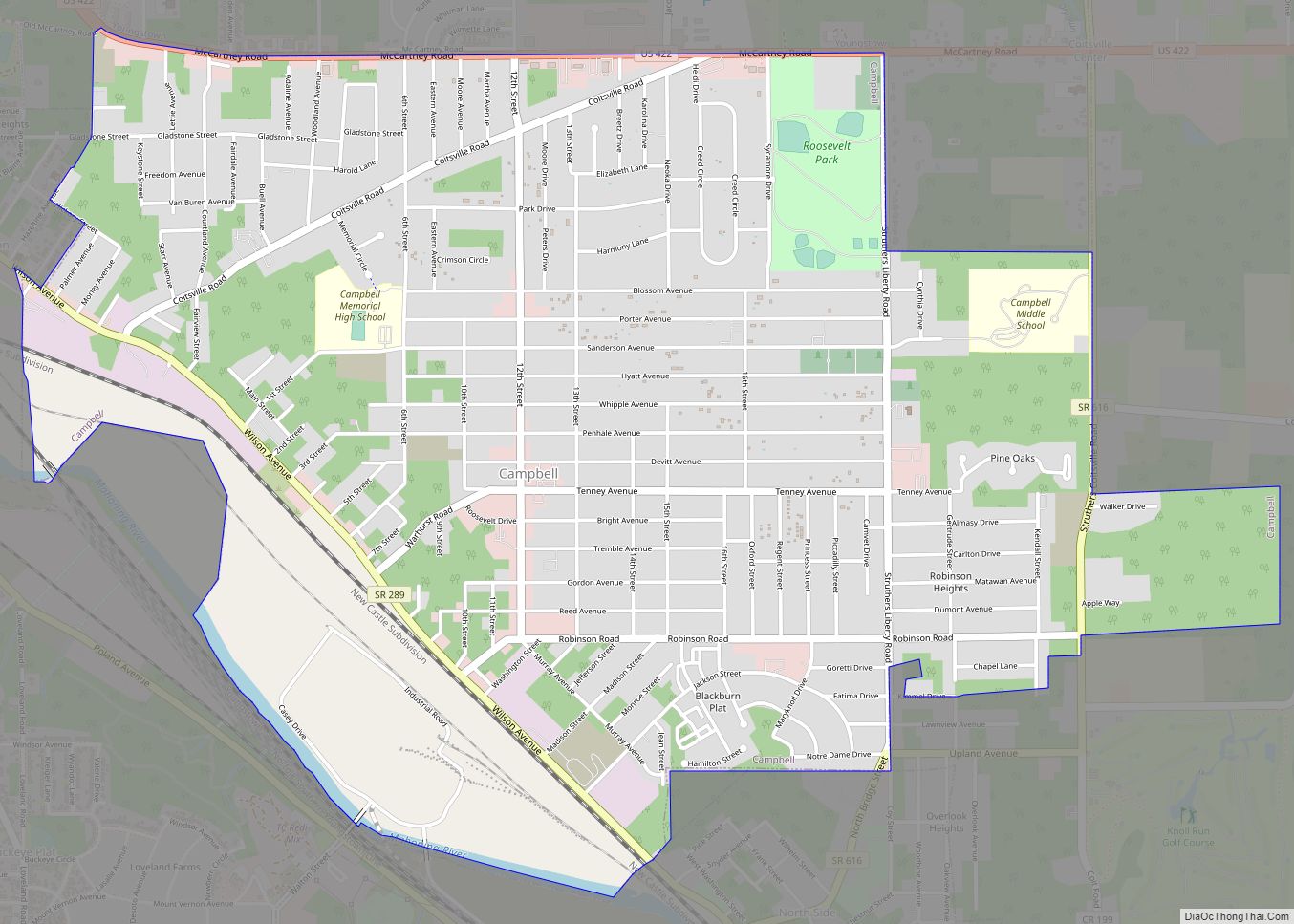
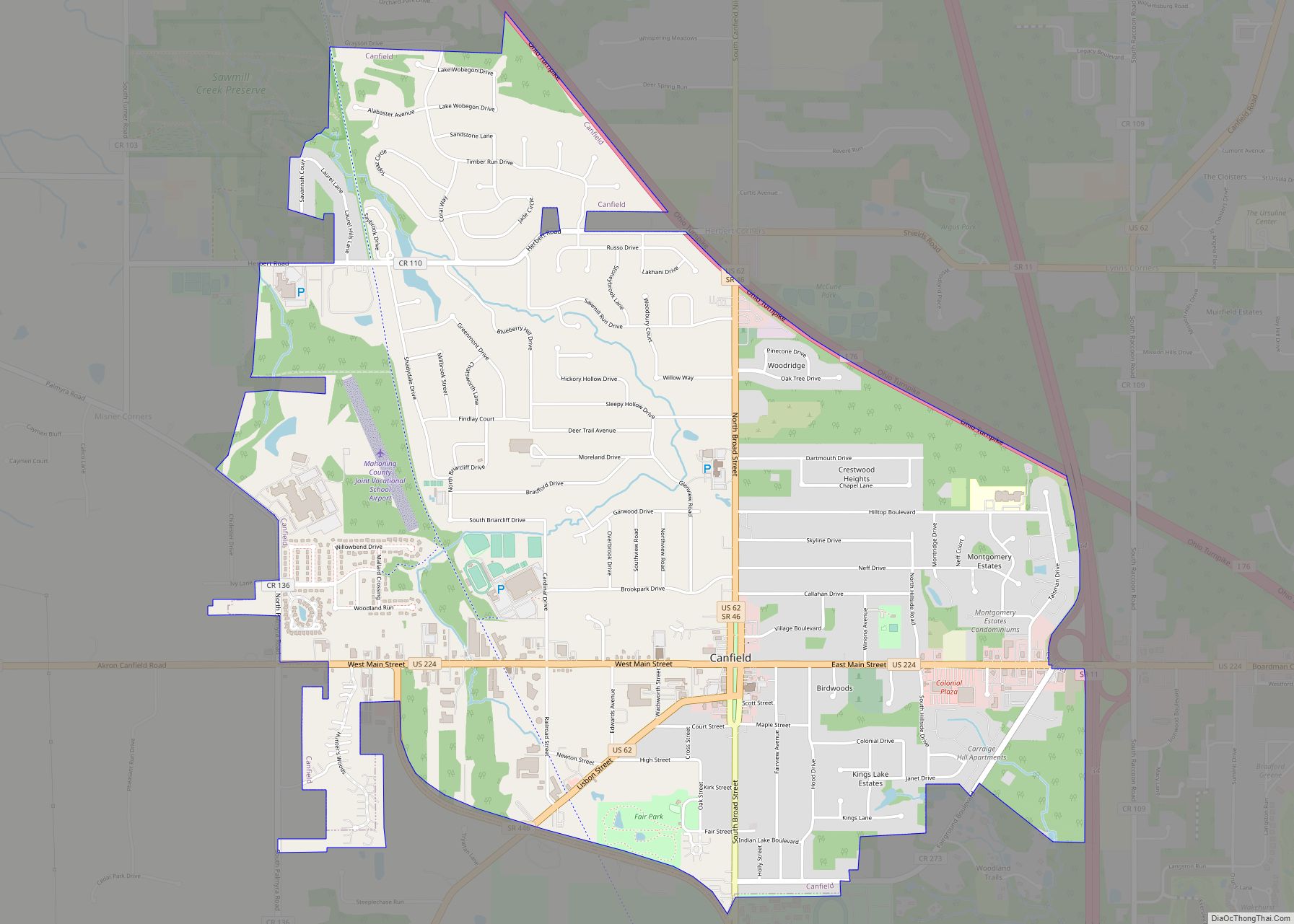
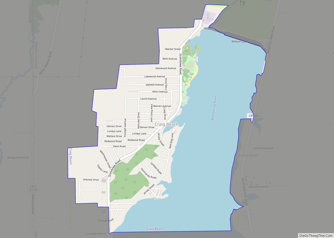
Online Interactive Map
Click on ![]() to view map in "full screen" mode.
to view map in "full screen" mode.
Poland location map. Where is Poland village?


History
In 1796, Poland Township was surveyed and registered as township 1, range 1 of the Connecticut Western Reserve of the Connecticut Land Company. Turhand Kirtland was a member of a group of surveyors led by Moses Cleaveland, and is considered to have founded the community of Poland in 1798. The earliest settlers primarily originated from Connecticut and Pennsylvania. An early grist mill was built on the Yellow Creek in 1802 by Jonathan Fowler, whose family was the first to settle in the village.
Poland was named in honor of the country of Poland for its assistance during the American Revolutionary War, either due to a specific Polish hero or due to general gratitude towards the nation. An alternative legend from 1905 stated that the town instead takes its name from its original proprietor named George Poland. Poland was incorporated as a village in 1866.
Poland Seminary was originally a private secondary school, Poland Academy, and then a liberal arts college founded in 1849. Its main building has been incorporated into Poland Middle School on College Street. Its dormitory is incorporated into the Poland Public Library on Main Street. Former distinguished faculty include the journalist Ida Tarbell; graduates include William McKinley, President of the United States.
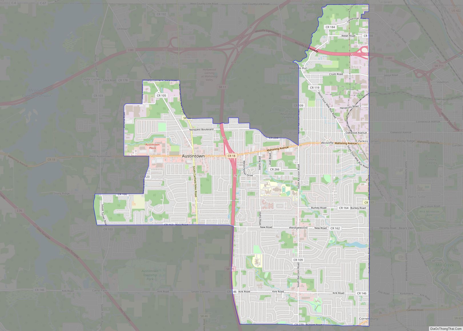
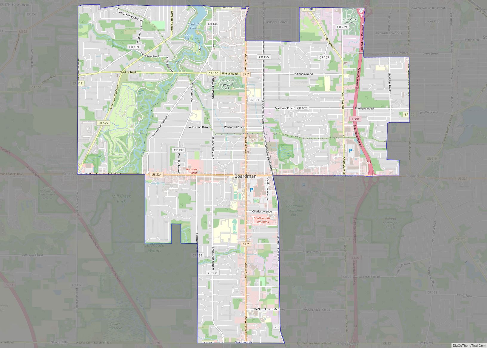
Poland Road Map

Poland city Satellite Map

Geography
According to the United States Census Bureau, the village has an area of 1.65 square miles (4.27 km), of which 1.63 square miles (4.22 km) is land and 0.02 square miles (0.05 km) is water.
See also
Map of Ohio State and its subdivision:- Adams
- Allen
- Ashland
- Ashtabula
- Athens
- Auglaize
- Belmont
- Brown
- Butler
- Carroll
- Champaign
- Clark
- Clermont
- Clinton
- Columbiana
- Coshocton
- Crawford
- Cuyahoga
- Darke
- Defiance
- Delaware
- Erie
- Fairfield
- Fayette
- Franklin
- Fulton
- Gallia
- Geauga
- Greene
- Guernsey
- Hamilton
- Hancock
- Hardin
- Harrison
- Henry
- Highland
- Hocking
- Holmes
- Huron
- Jackson
- Jefferson
- Knox
- Lake
- Lake Erie
- Lawrence
- Licking
- Logan
- Lorain
- Lucas
- Madison
- Mahoning
- Marion
- Medina
- Meigs
- Mercer
- Miami
- Monroe
- Montgomery
- Morgan
- Morrow
- Muskingum
- Noble
- Ottawa
- Paulding
- Perry
- Pickaway
- Pike
- Portage
- Preble
- Putnam
- Richland
- Ross
- Sandusky
- Scioto
- Seneca
- Shelby
- Stark
- Summit
- Trumbull
- Tuscarawas
- Union
- Van Wert
- Vinton
- Warren
- Washington
- Wayne
- Williams
- Wood
- Wyandot
- Alabama
- Alaska
- Arizona
- Arkansas
- California
- Colorado
- Connecticut
- Delaware
- District of Columbia
- Florida
- Georgia
- Hawaii
- Idaho
- Illinois
- Indiana
- Iowa
- Kansas
- Kentucky
- Louisiana
- Maine
- Maryland
- Massachusetts
- Michigan
- Minnesota
- Mississippi
- Missouri
- Montana
- Nebraska
- Nevada
- New Hampshire
- New Jersey
- New Mexico
- New York
- North Carolina
- North Dakota
- Ohio
- Oklahoma
- Oregon
- Pennsylvania
- Rhode Island
- South Carolina
- South Dakota
- Tennessee
- Texas
- Utah
- Vermont
- Virginia
- Washington
- West Virginia
- Wisconsin
- Wyoming