Put-in-Bay is a resort village located on South Bass Island in Put-in-Bay Township, Ottawa County, Ohio, United States, 35 miles (56 km) east of Toledo. The population was 154 at the 2020 census.
The village is a popular summer resort and recreational destination. Ferry and airline services connect the community with Catawba Island, Kelleys Island, Port Clinton, and Sandusky, Ohio.
The bay played a significant role in the War of 1812 as the location of the squadron of U.S. naval commander Oliver Hazard Perry, who sailed from the port on September 10, 1813, to engage a British squadron just north of the island in the Battle of Lake Erie.
| Name: | Put-in-Bay village |
|---|---|
| LSAD Code: | 47 |
| LSAD Description: | village (suffix) |
| State: | Ohio |
| County: | Ottawa County |
| Elevation: | 595 ft (181 m) |
| Total Area: | 0.62 sq mi (1.61 km²) |
| Land Area: | 0.44 sq mi (1.14 km²) |
| Water Area: | 0.18 sq mi (0.48 km²) |
| Total Population: | 154 |
| Population Density: | 350.80/sq mi (135.29/km²) |
| ZIP code: | 43456 |
| Area code: | 419 |
| FIPS code: | 3965032 |
| Website: | http://villageofpib.com/ |
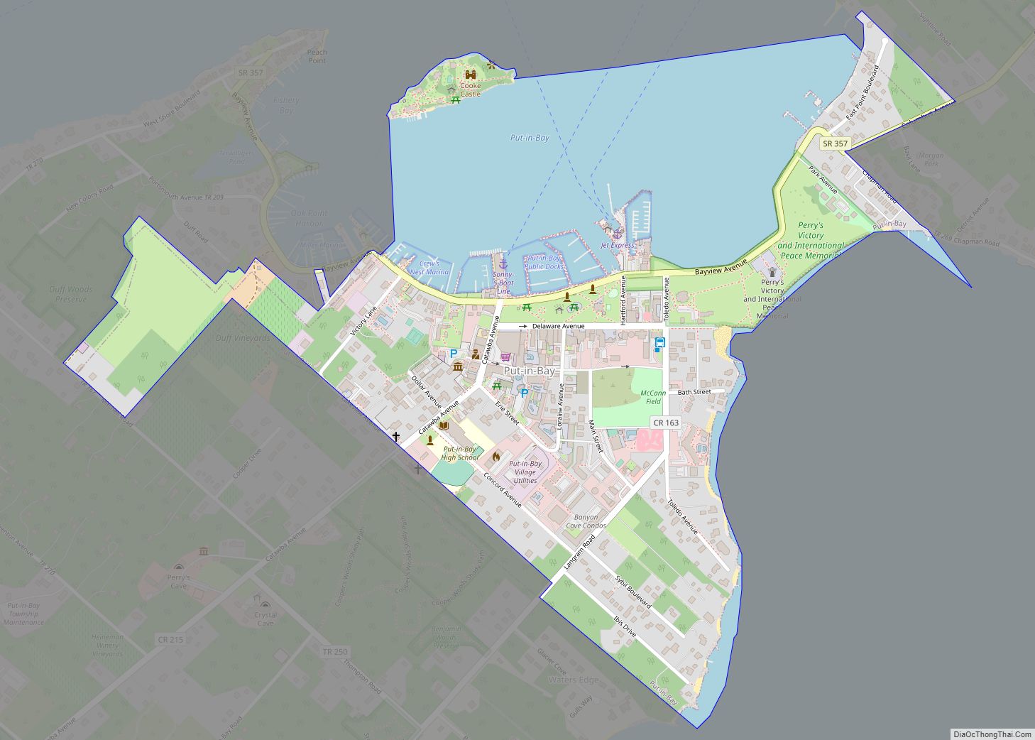
Online Interactive Map
Click on ![]() to view map in "full screen" mode.
to view map in "full screen" mode.
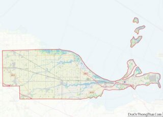
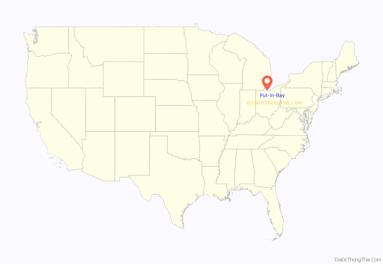
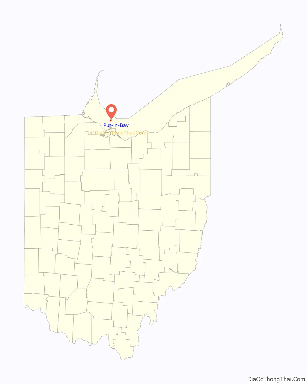
Put-in-Bay location map. Where is Put-in-Bay village?
History
The first known people to use the island were various groups of Native American tribes, including the Ottawas, Miamis, Shawnee, Senecas, Iroquois, and the Eries. The island provided shelter during crossings of Lake Erie. Some remains were discovered when a section of the island was plowed.
In 1679, Robert LaSalle and thirty-two of his men were the first to sail a large vessel in the Great Lakes: the Griffon. They would transport fur and pelts from Green Bay, Wisconsin to Queensland, Ontario. Stopping at Middle Bass Island, they found unique undiscovered flowers. They named the island Isle des Fleurs because of the flowers; this name was used for the next 200 years.
During the War of 1812, Put-in-Bay was an important base of operations for the US Navy fleet commanded by Oliver Hazard Perry. Perry and his fleet arrived at the island on August 16, 1813. They used the island to train and to spy on the British, who were located at Fort Malden, Ontario, Canada. At that point, the war had been going on for 32 months and developments had favored the British: Detroit had surrendered to them, and all American invasions of Canada had been repulsed. On September 10, 1813, Captain Robert H. Barclay, the commander of the British ships, was seen by a lookout on Perry’s flagship, the Lawrence. Perry and his fleet hid behind the Bass Islands and waited for the British to unknowingly cross their path. The battle began at 11:45 in the morning about eight miles away from Put-in-Bay, with the British fleet caught by surprise. By around 3:00 of that day Perry and his fleet had defeated the British, who lost control of Lake Erie along with their entire fleet of six ships. This event was a major turning point in the war.
Two iconic American Navy slogans originated from these events: “Don’t Give Up The Ship” and “We have met the enemy and they are ours.”.
Between 1820 and 1830 the island was under the jurisdiction of Huron County, Ohio, but it was later joined to Ottawa County, Ohio. Put-in-Bay Township was established after 1830. The island was only sparsely inhabited and there was no actual village prior to the creation of the township. The first known white resident of the island was Alexander Ewen, who had about 1,000 hogs roaming the island in 1810.
The abolitionist John Brown’s son John Jr. lived in Put-In-Bay, “growing grapes for the Chicago market”, from 1862 until his death in 1895. His brother Owen also lived there before moving to Pasadena, California.
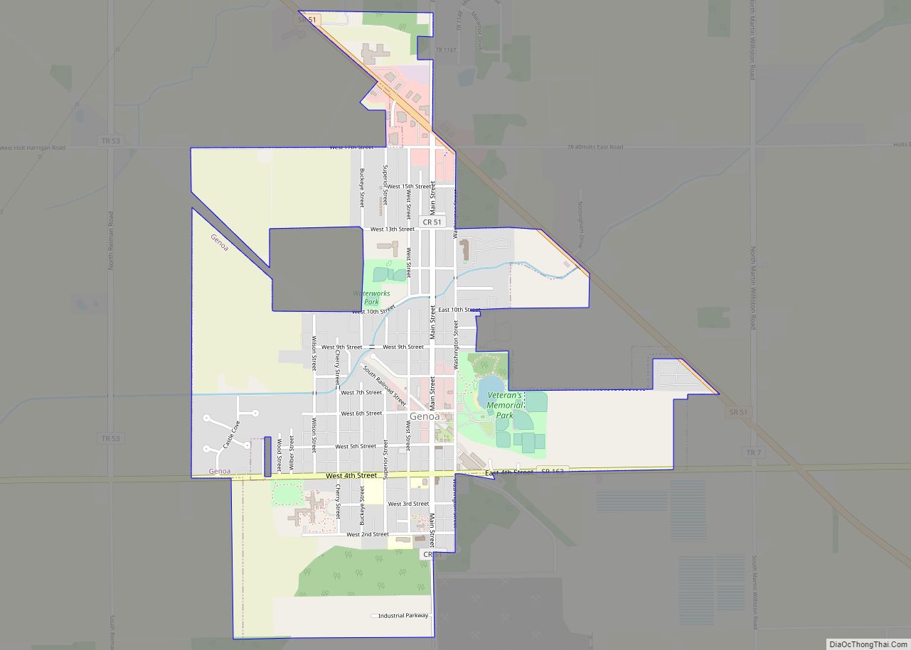
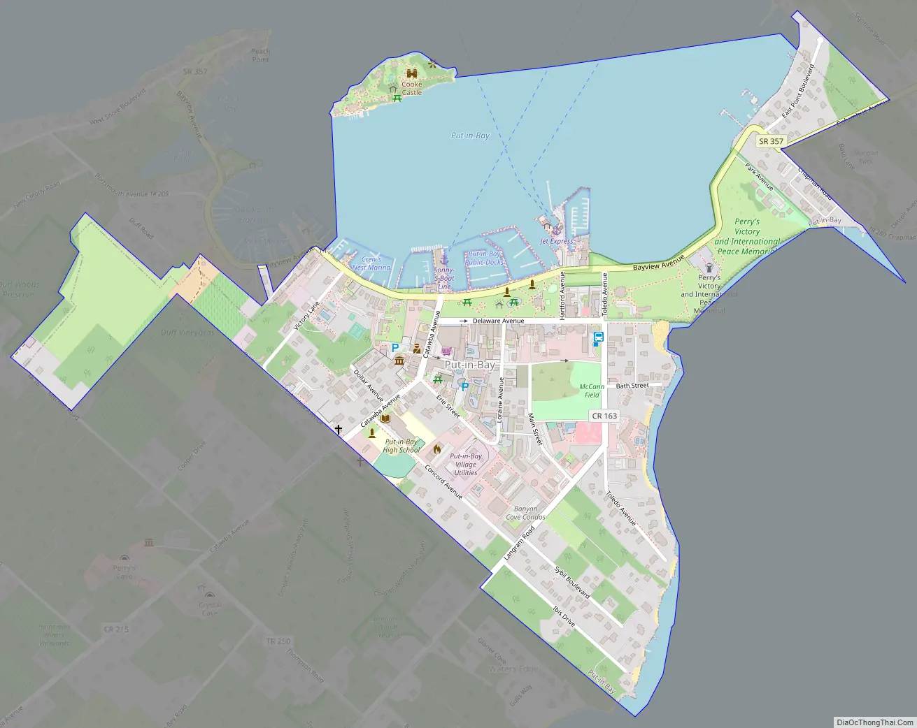
Put-in-Bay Road Map
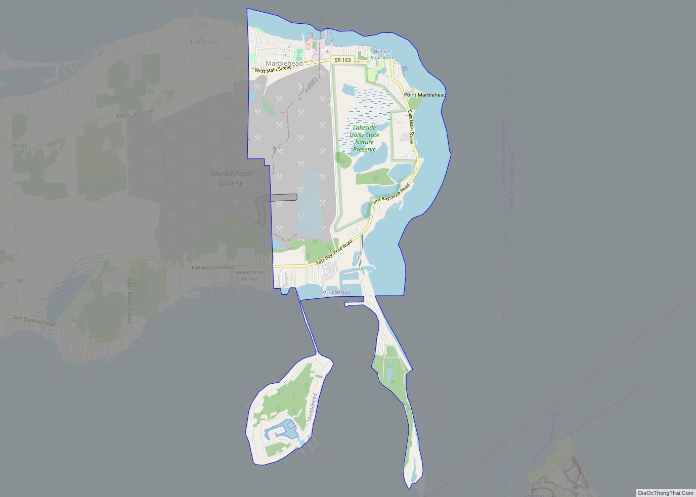
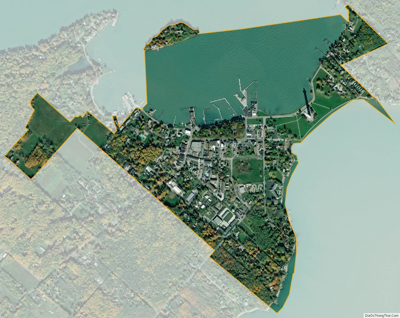
Put-in-Bay city Satellite Map
See also
Map of Ohio State and its subdivision:- Adams
- Allen
- Ashland
- Ashtabula
- Athens
- Auglaize
- Belmont
- Brown
- Butler
- Carroll
- Champaign
- Clark
- Clermont
- Clinton
- Columbiana
- Coshocton
- Crawford
- Cuyahoga
- Darke
- Defiance
- Delaware
- Erie
- Fairfield
- Fayette
- Franklin
- Fulton
- Gallia
- Geauga
- Greene
- Guernsey
- Hamilton
- Hancock
- Hardin
- Harrison
- Henry
- Highland
- Hocking
- Holmes
- Huron
- Jackson
- Jefferson
- Knox
- Lake
- Lake Erie
- Lawrence
- Licking
- Logan
- Lorain
- Lucas
- Madison
- Mahoning
- Marion
- Medina
- Meigs
- Mercer
- Miami
- Monroe
- Montgomery
- Morgan
- Morrow
- Muskingum
- Noble
- Ottawa
- Paulding
- Perry
- Pickaway
- Pike
- Portage
- Preble
- Putnam
- Richland
- Ross
- Sandusky
- Scioto
- Seneca
- Shelby
- Stark
- Summit
- Trumbull
- Tuscarawas
- Union
- Van Wert
- Vinton
- Warren
- Washington
- Wayne
- Williams
- Wood
- Wyandot
- Alabama
- Alaska
- Arizona
- Arkansas
- California
- Colorado
- Connecticut
- Delaware
- District of Columbia
- Florida
- Georgia
- Hawaii
- Idaho
- Illinois
- Indiana
- Iowa
- Kansas
- Kentucky
- Louisiana
- Maine
- Maryland
- Massachusetts
- Michigan
- Minnesota
- Mississippi
- Missouri
- Montana
- Nebraska
- Nevada
- New Hampshire
- New Jersey
- New Mexico
- New York
- North Carolina
- North Dakota
- Ohio
- Oklahoma
- Oregon
- Pennsylvania
- Rhode Island
- South Carolina
- South Dakota
- Tennessee
- Texas
- Utah
- Vermont
- Virginia
- Washington
- West Virginia
- Wisconsin
- Wyoming