Ravenna is a city in and the county seat of Portage County, Ohio, United States. The population was 11,323 in the 2020 census. It is located 15 miles (24 km) east of Akron. Formed from portions of Ravenna Township in the Connecticut Western Reserve, Ravenna was founded in 1799 and is named after the city of Ravenna, Italy. It is part of the Akron metropolitan area.
| Name: | Ravenna city |
|---|---|
| LSAD Code: | 25 |
| LSAD Description: | city (suffix) |
| State: | Ohio |
| County: | Portage County |
| Founded: | 1799 |
| Incorporated: | 1853 |
| Elevation: | 1,132 ft (345 m) |
| Total Area: | 5.68 sq mi (14.71 km²) |
| Land Area: | 5.63 sq mi (14.59 km²) |
| Water Area: | 0.05 sq mi (0.12 km²) |
| Total Population: | 11,323 |
| Population Density: | 2,010.12/sq mi (776.14/km²) |
| ZIP code: | 44266 |
| Area code: | 330, 234 |
| FIPS code: | 3965592 |
| GNISfeature ID: | 1061586 |
| Website: | www.ravennaoh.gov |
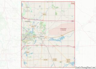
Online Interactive Map
Click on ![]() to view map in "full screen" mode.
to view map in "full screen" mode.
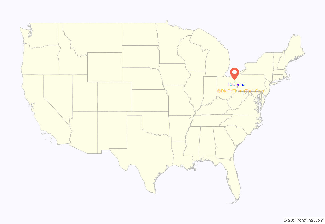
Ravenna location map. Where is Ravenna city?
History
Ravenna was founded by Benjamin Tappan, who arrived there on June 11, 1799 to lay claim in his father’s name to land purchased in the Connecticut Western Reserve. Tappan did not stay in the area for long, however, but built a settlement of log cabins before returning to Connecticut during the summer of 1800.
Later in 1800, Tappan, newly married, returned to the area where the couple built a log cabin of their own. It was his new wife, Nancy Wright, who suggested that the settlement be named after the city of Ravenna, Italy. Nancy became a driving force for the new town. When plans were announced in 1806 for the formation of Portage County, she lobbied for Ravenna to be made the county seat, and it was selected in 1808. She also convinced other Connecticut families to move to the area. The Tappans, however, left Ravenna in 1809.
Ravenna was initially included in Franklin Township, which was part of Trumbull County at the time. The first mail route was established in 1802 and the first school opened in 1803. In 1810 the first county courthouse and log jail were built. This was later replaced with the first brick courthouse twenty years later in 1830, expanded with an addition in 1881. The current courthouse was built in 1961. The Congregational Church, established in 1822, was the first church to be founded in Ravenna. In 1824, the Methodist Church held its first meeting, which later formally organized in 1831. The Presbyterian and the Disciple of Christ churches were organized in 1830. In 1842, the Catholic Church in Ravenna was dedicated.
In 1831, the Clark Carriage Company, founded by W.D. Clark, first began to produce high-end hearses known for their elaborate workmanship and quality. Thirty years later, the company was purchased by Henry W. Riddle and Charles Merts in 1861, with Riddle being the salesman for the company and Merts running the factory. In 1891, Merts retired and sold his share of the company to Riddle, who, in turn, changed the name of the company to the Riddle Coach and Hearse. After the company began manufacturing motorized hearses, the name changed once again–this time to the Riddle Manufacturing Company. With the highly acclaimed reputation of the Riddle Hearse, two U.S. Presidents from Ohio, William McKinley and Warren G. Harding, would later make them their coach of choice for carrying their remains after their deaths.
In 1848, a glassworks was established, which is now commonly recognized as the first true industry in Ravenna. Rail service first arrived via the Cleveland and Pittsburgh Railroad in 1851. In 1877, the Quaker Oats Company was established in Ravenna with the familiar Quaker Oats logo patented in Ravenna in 1879.
On 25 May 1853, the Ohio Woman’s Rights Association, founded in 1852 in Massillon, held its first statewide meeting in Ravenna. The attendees helped draft a petition to the Ohio General Assembly, requesting legislation that would grant women more rights.
On February 15, 1861, en route to his inauguration in Washington, DC, President-elect Abraham Lincoln traveled by train through Ravenna. He didn’t plan on speaking but, due to the enthusiastic supporters of the community and a stunning cannon salute, he stepped out of the train and addressed the crowd. A small plaque was placed at the site in 1985 to commemorate the event.
Telephones were first introduced in Ravenna in 1882. In 1898, Ravenna began paving its streets when East and West Main streets received new, paved surfaces. By 1909, nearly 50 passenger trains arrived in the town each day. In 1917, Portage County purchased White Hospital, which eventually became the present day University Hospitals Portage Medical Center.
In 1905, The A.C. Williams Co. was incorporated in Ravenna. Through the 1920s, the company was recognized as the largest cast-iron toy manufacturer in the world.
Since the 1970s, the city has held the Ravenna Balloon A-Fair. Usually held around mid-September, the event attracts hot air balloonists and enthusiasts to Sunbeau Valley Farm in Ravenna Township, just west of the city limits. Besides the hot air balloons, there are also parades, cruise-ins, and live entertainment.
In the late 1990s, the downtown area received a $3 million facelift to restore and preserve the city’s architecture, history, and heritage.
Ravenna Road Map
Ravenna city Satellite Map
Geography
According to the United States Census Bureau, the city has a total area of 5.68 square miles (14.71 km), of which 5.63 square miles (14.58 km) is land and 0.05 square miles (0.13 km) is water.
The following highways pass through Ravenna:
- State Route 59
- State Route 44
- State Route 14
- State Route 88
Ravenna is located south of Interstate 80/Ohio Turnpike exit 193, and north of Interstate 76 exit 38.
See also
Map of Ohio State and its subdivision:- Adams
- Allen
- Ashland
- Ashtabula
- Athens
- Auglaize
- Belmont
- Brown
- Butler
- Carroll
- Champaign
- Clark
- Clermont
- Clinton
- Columbiana
- Coshocton
- Crawford
- Cuyahoga
- Darke
- Defiance
- Delaware
- Erie
- Fairfield
- Fayette
- Franklin
- Fulton
- Gallia
- Geauga
- Greene
- Guernsey
- Hamilton
- Hancock
- Hardin
- Harrison
- Henry
- Highland
- Hocking
- Holmes
- Huron
- Jackson
- Jefferson
- Knox
- Lake
- Lake Erie
- Lawrence
- Licking
- Logan
- Lorain
- Lucas
- Madison
- Mahoning
- Marion
- Medina
- Meigs
- Mercer
- Miami
- Monroe
- Montgomery
- Morgan
- Morrow
- Muskingum
- Noble
- Ottawa
- Paulding
- Perry
- Pickaway
- Pike
- Portage
- Preble
- Putnam
- Richland
- Ross
- Sandusky
- Scioto
- Seneca
- Shelby
- Stark
- Summit
- Trumbull
- Tuscarawas
- Union
- Van Wert
- Vinton
- Warren
- Washington
- Wayne
- Williams
- Wood
- Wyandot
- Alabama
- Alaska
- Arizona
- Arkansas
- California
- Colorado
- Connecticut
- Delaware
- District of Columbia
- Florida
- Georgia
- Hawaii
- Idaho
- Illinois
- Indiana
- Iowa
- Kansas
- Kentucky
- Louisiana
- Maine
- Maryland
- Massachusetts
- Michigan
- Minnesota
- Mississippi
- Missouri
- Montana
- Nebraska
- Nevada
- New Hampshire
- New Jersey
- New Mexico
- New York
- North Carolina
- North Dakota
- Ohio
- Oklahoma
- Oregon
- Pennsylvania
- Rhode Island
- South Carolina
- South Dakota
- Tennessee
- Texas
- Utah
- Vermont
- Virginia
- Washington
- West Virginia
- Wisconsin
- Wyoming
