Ross is a census-designated place (CDP) in Ross Township, Butler County, Ohio, United States. The population was 3,417 at the 2010 census. Ross sits along U.S. Route 27 between Cincinnati, Ohio and Oxford, Ohio. Ross is part of the Cincinnati metropolitan area.
| Name: | Ross CDP |
|---|---|
| LSAD Code: | 57 |
| LSAD Description: | CDP (suffix) |
| State: | Ohio |
| County: | Butler County |
| Elevation: | 548 ft (167 m) |
| Total Area: | 3.15 sq mi (8.17 km²) |
| Land Area: | 3.13 sq mi (8.10 km²) |
| Water Area: | 0.03 sq mi (0.07 km²) |
| Total Population: | 3,478 |
| Population Density: | 1,112.60/sq mi (429.52/km²) |
| ZIP code: | 45061 |
| Area code: | 513 |
| FIPS code: | 3968602 |
| GNISfeature ID: | 1061628 |
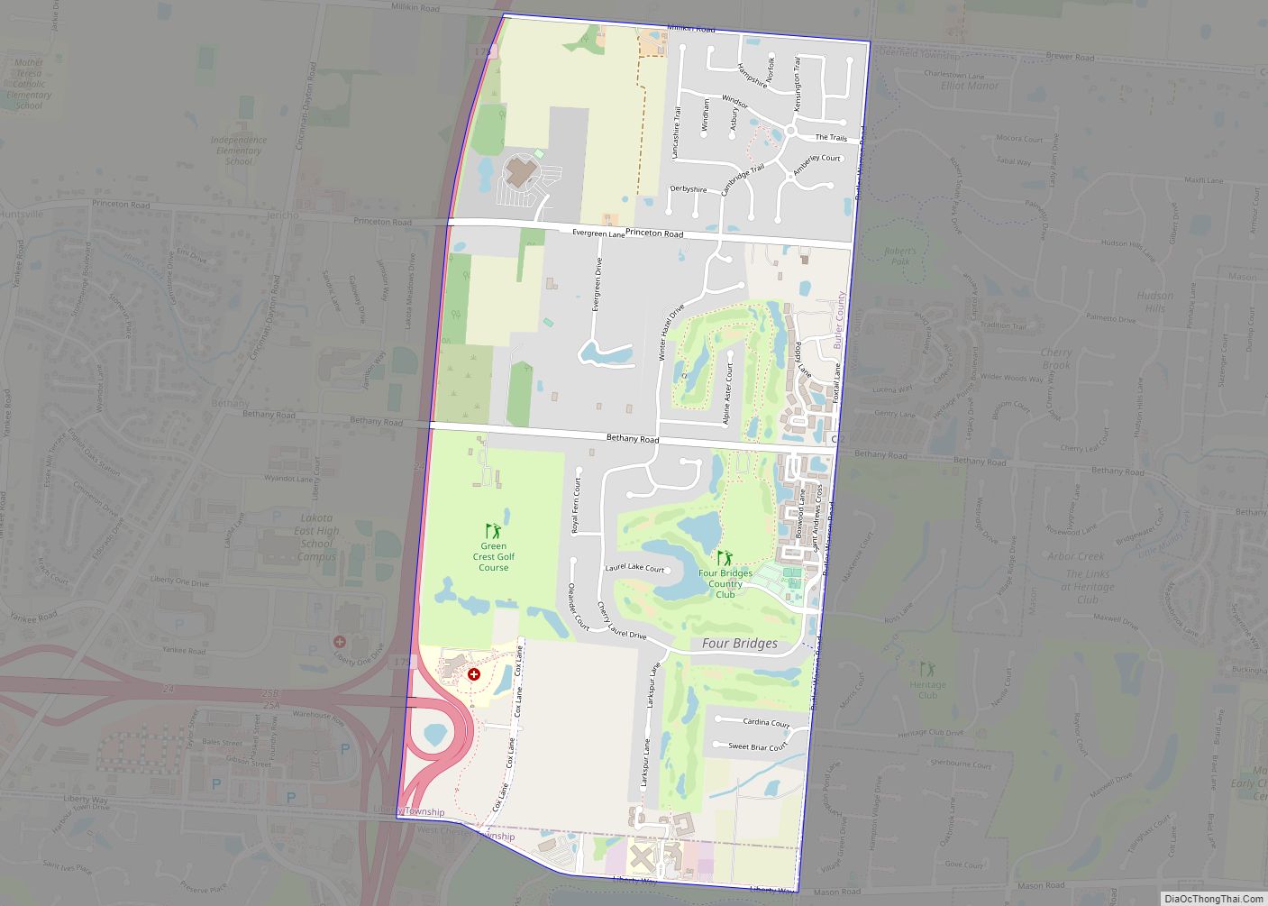
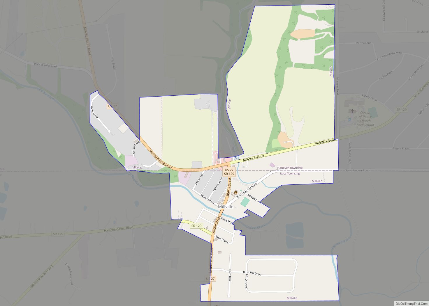
Online Interactive Map
Click on ![]() to view map in "full screen" mode.
to view map in "full screen" mode.
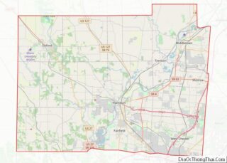
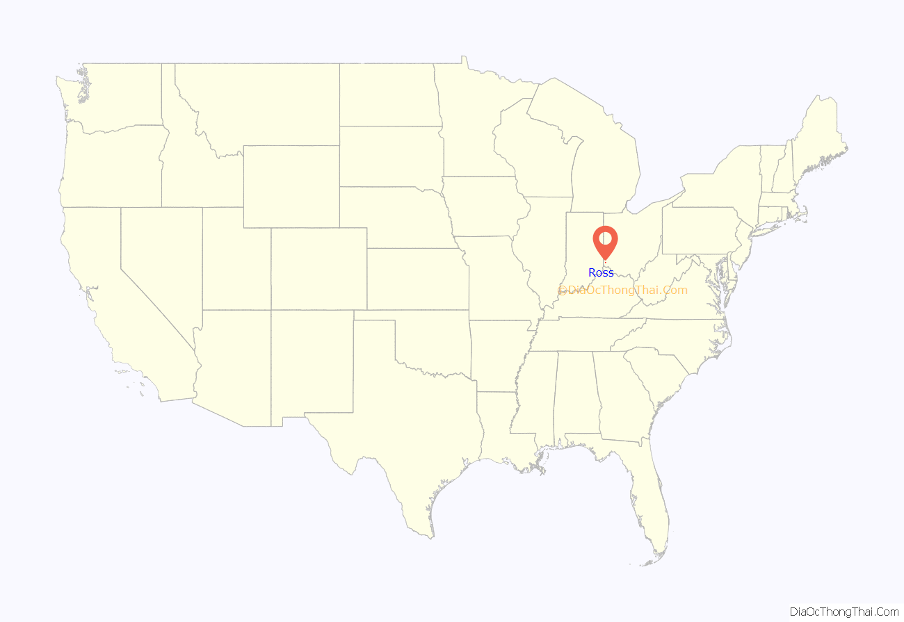
Ross location map. Where is Ross CDP?
History
The settlement was laid out by Dr. Benjamin Franklin Clark on February 1, 1817, as Venus; the spelling later became corrupted as “Venice”. Since there was already another post office in the state called Venice, near Lake Erie, this one was renamed in 1834 as Ross.
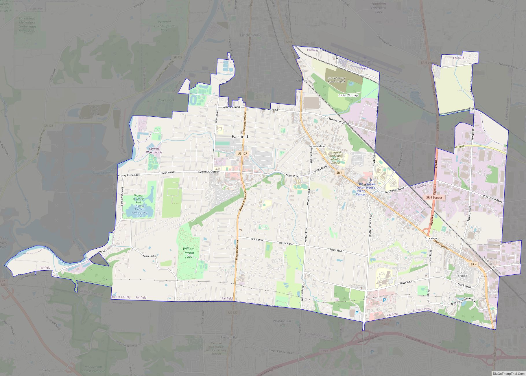
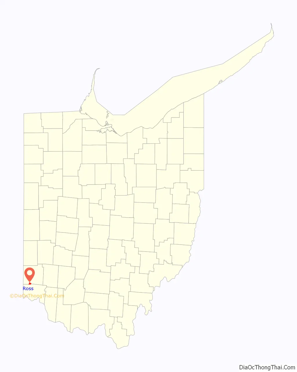
Ross Road Map
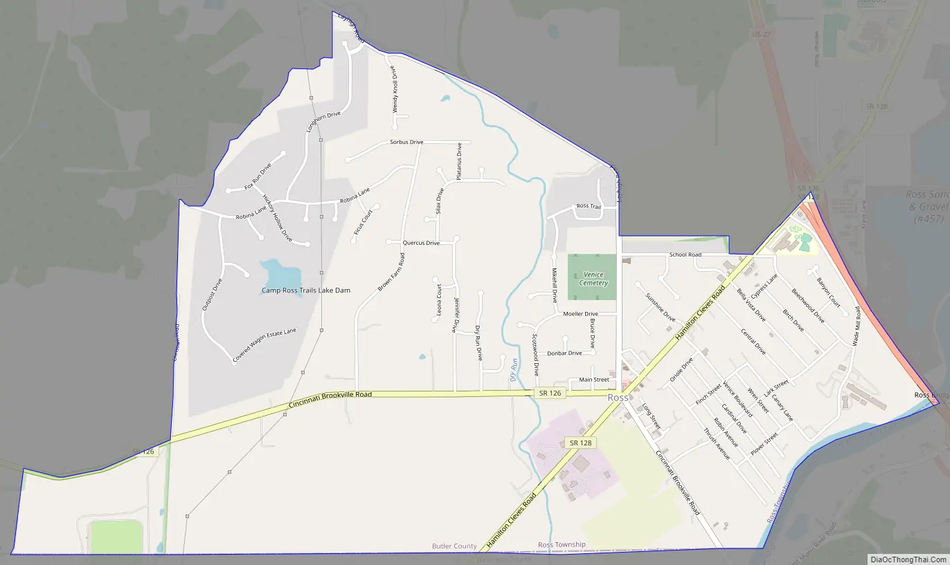
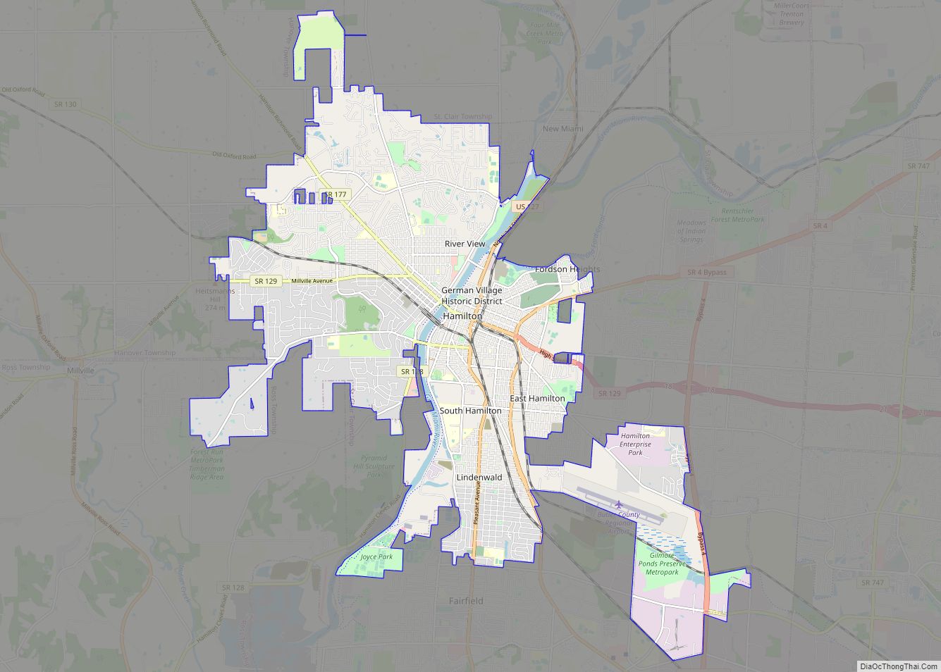
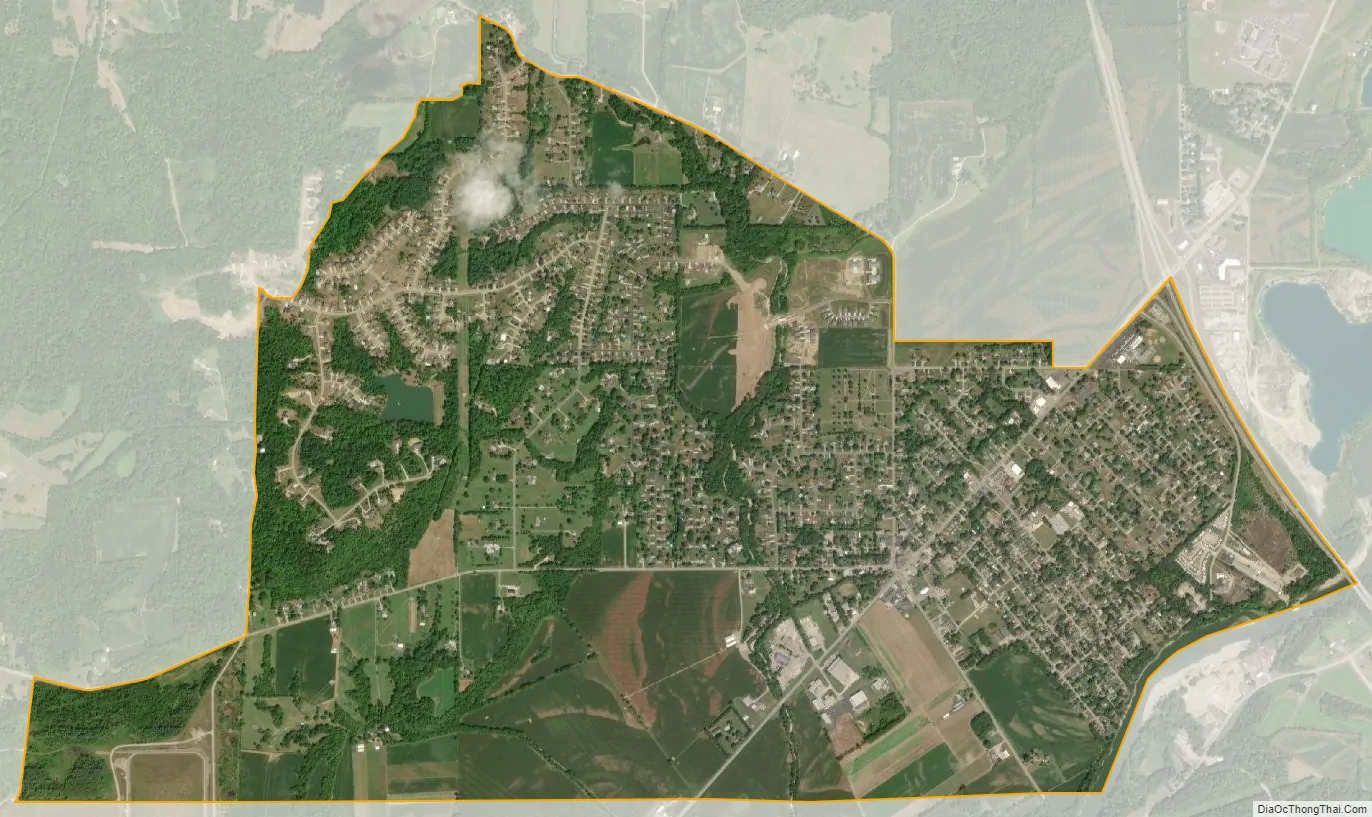
Ross city Satellite Map
Geography
Ross is located along the southern border of Butler County at 39°18′49″N 84°38′42″W / 39.31361°N 84.64500°W / 39.31361; -84.64500 (39.313606, -84.644899). To the south are the townships of Crosby and Colerain in Hamilton County, including the CDP of Dunlap in Colerain Township.
U.S. Route 27 forms the eastern edge of the CDP, leading south to Cincinnati and north to Oxford. State Routes 126 and Ohio State Route 128 run through the center of Ross as Hamilton Cleves Road. Route 126 splits off to the west toward Brookville, Indiana, while Route 128 continues southwest towards Cleves. The Great Miami River forms the southeastern edge of the CDP.
According to the United States Census Bureau, the CDP of Ross has a total area of 3.14 square miles (8.14 km), of which 3.12 square miles (8.07 km) is land and 0.027 square miles (0.07 km), or 0.85%, is water.
See also
Map of Ohio State and its subdivision:- Adams
- Allen
- Ashland
- Ashtabula
- Athens
- Auglaize
- Belmont
- Brown
- Butler
- Carroll
- Champaign
- Clark
- Clermont
- Clinton
- Columbiana
- Coshocton
- Crawford
- Cuyahoga
- Darke
- Defiance
- Delaware
- Erie
- Fairfield
- Fayette
- Franklin
- Fulton
- Gallia
- Geauga
- Greene
- Guernsey
- Hamilton
- Hancock
- Hardin
- Harrison
- Henry
- Highland
- Hocking
- Holmes
- Huron
- Jackson
- Jefferson
- Knox
- Lake
- Lake Erie
- Lawrence
- Licking
- Logan
- Lorain
- Lucas
- Madison
- Mahoning
- Marion
- Medina
- Meigs
- Mercer
- Miami
- Monroe
- Montgomery
- Morgan
- Morrow
- Muskingum
- Noble
- Ottawa
- Paulding
- Perry
- Pickaway
- Pike
- Portage
- Preble
- Putnam
- Richland
- Ross
- Sandusky
- Scioto
- Seneca
- Shelby
- Stark
- Summit
- Trumbull
- Tuscarawas
- Union
- Van Wert
- Vinton
- Warren
- Washington
- Wayne
- Williams
- Wood
- Wyandot
- Alabama
- Alaska
- Arizona
- Arkansas
- California
- Colorado
- Connecticut
- Delaware
- District of Columbia
- Florida
- Georgia
- Hawaii
- Idaho
- Illinois
- Indiana
- Iowa
- Kansas
- Kentucky
- Louisiana
- Maine
- Maryland
- Massachusetts
- Michigan
- Minnesota
- Mississippi
- Missouri
- Montana
- Nebraska
- Nevada
- New Hampshire
- New Jersey
- New Mexico
- New York
- North Carolina
- North Dakota
- Ohio
- Oklahoma
- Oregon
- Pennsylvania
- Rhode Island
- South Carolina
- South Dakota
- Tennessee
- Texas
- Utah
- Vermont
- Virginia
- Washington
- West Virginia
- Wisconsin
- Wyoming