Brookville is a town in Brookville Township, Franklin County, Indiana, United States. The population was 2,596 at the 2010 census. The town is the county seat of and the largest community entirely within Franklin County.
| Name: | Brookville town |
|---|---|
| LSAD Code: | 43 |
| LSAD Description: | town (suffix) |
| State: | Indiana |
| County: | Franklin County |
| Elevation: | 666 ft (203 m) |
| Total Area: | 1.45 sq mi (3.75 km²) |
| Land Area: | 1.40 sq mi (3.62 km²) |
| Water Area: | 0.05 sq mi (0.13 km²) |
| Total Population: | 2,622 |
| Population Density: | 1,876.88/sq mi (724.62/km²) |
| ZIP code: | 47012 |
| Area code: | 765 |
| FIPS code: | 1808182 |
| GNISfeature ID: | 0431586 |
| Website: | brookvilleindiana.org |
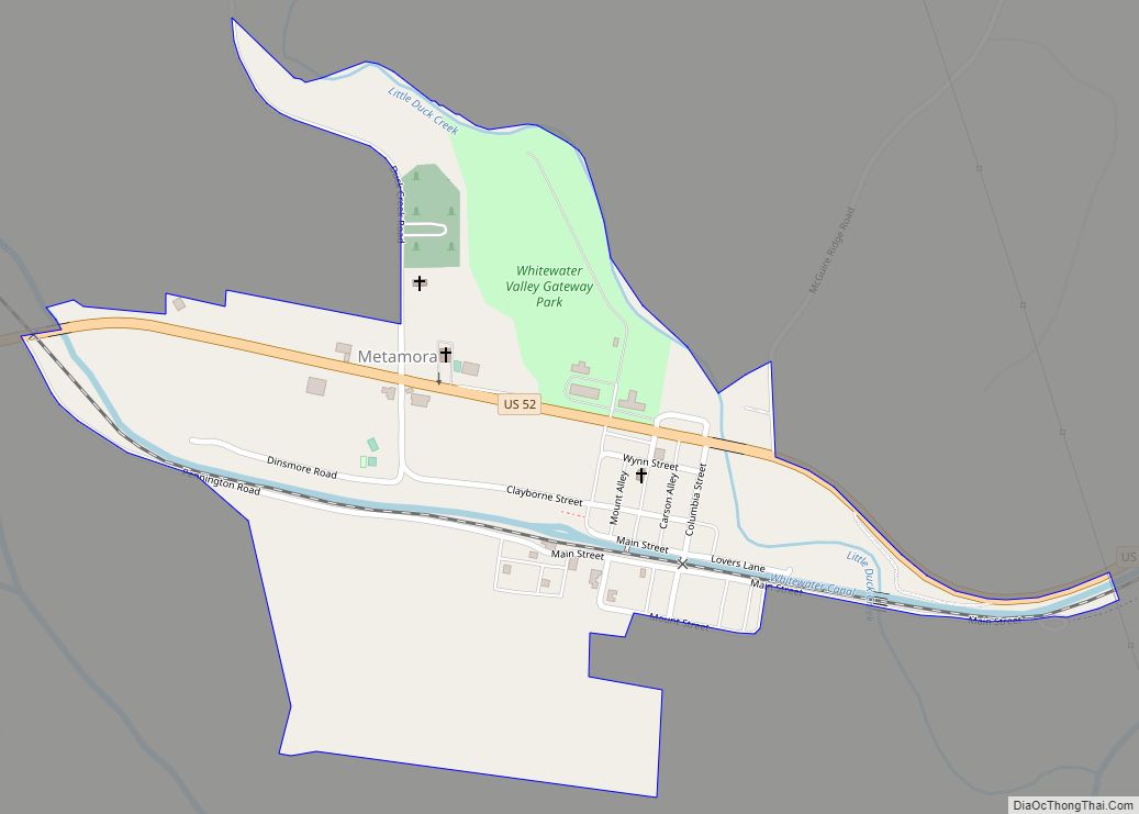
Online Interactive Map
Click on ![]() to view map in "full screen" mode.
to view map in "full screen" mode.
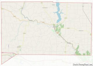
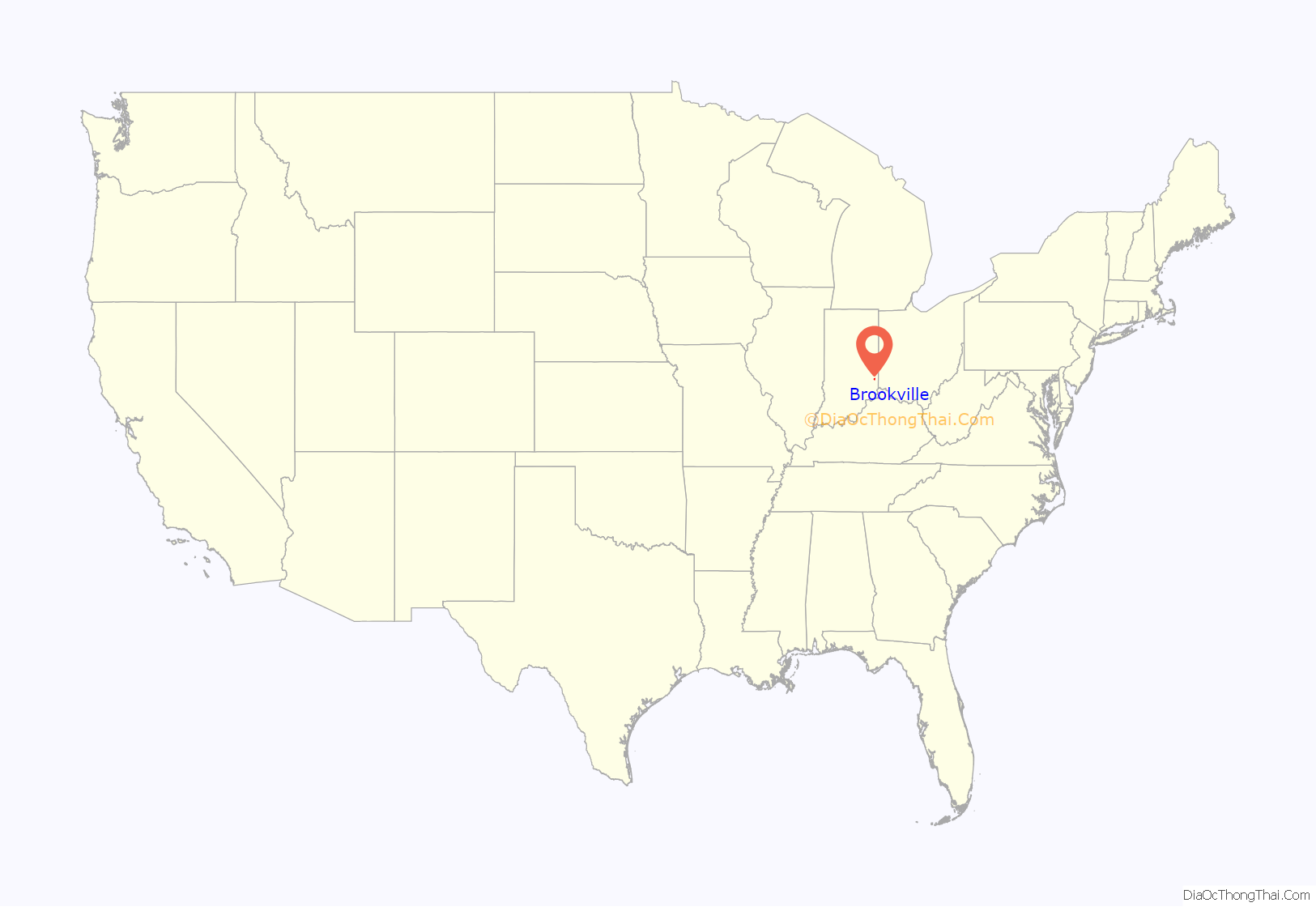
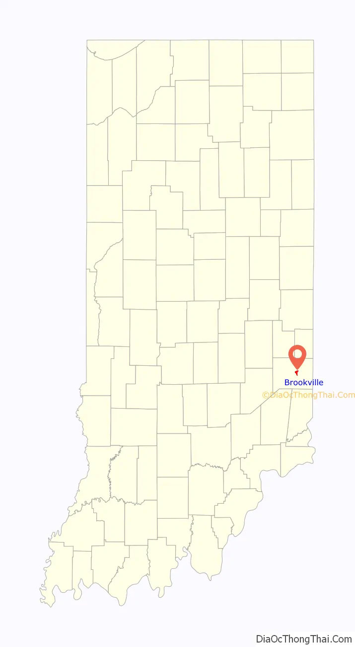
Brookville location map. Where is Brookville town?
History
Brookville was platted in 1808 by Thomas Manwarring. The town derives its name from Brooks, the maiden name of a settler’s mother. A post office has been in operation at Brookville since 1816.
The Brookville Historic District, Franklin County Seminary, The Hermitage, and Whitewater Canal Historic District are listed on the National Register of Historic Places.
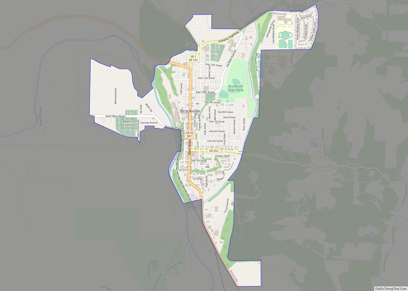
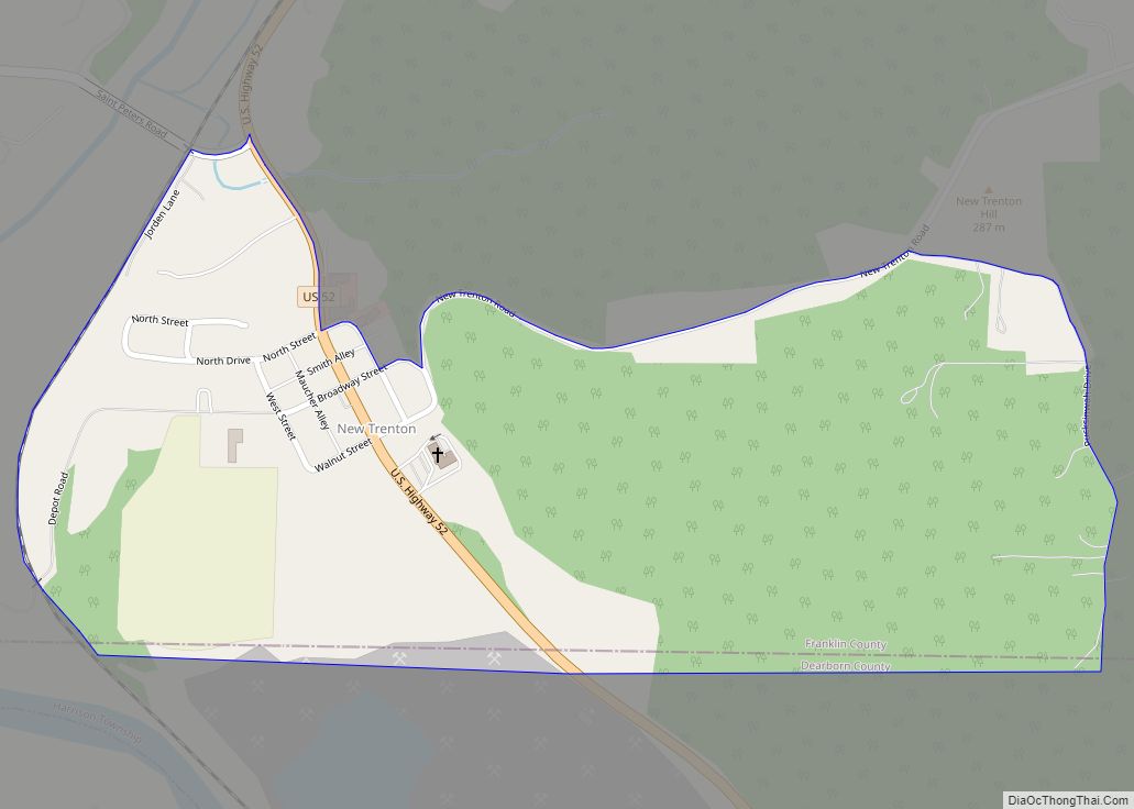
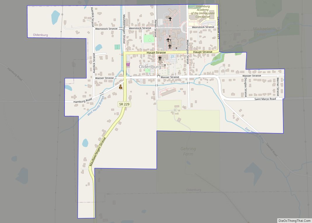
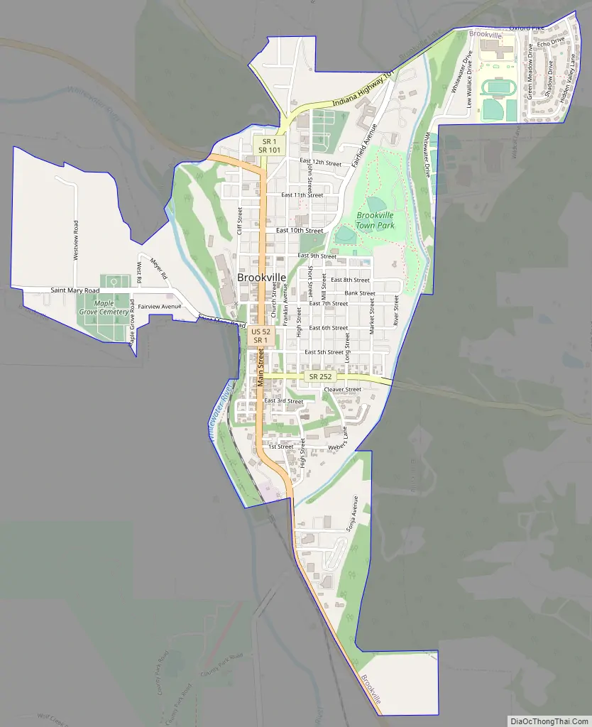
Brookville Road Map
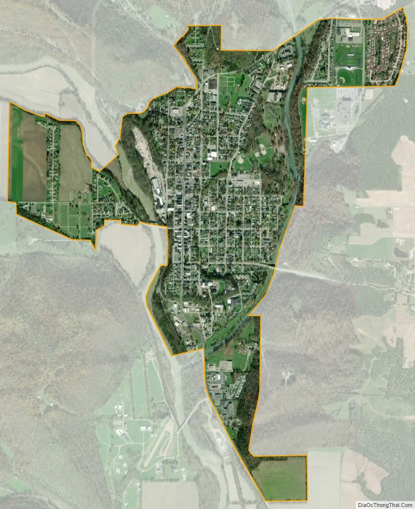
Brookville city Satellite Map
Geography
Brookville is located at 39°25′20″N 85°0′34″W / 39.42222°N 85.00944°W / 39.42222; -85.00944 (39.422328, -85.009509). It contains the confluence of the East and West forks of the Whitewater River; the East Fork forms a portion of the eastern boundary of the town. Brookville is also at the southern end of Brookville Lake, impounded in 1974 by the United States Army Corps of Engineers.
According to the 2010 census, Brookville has a total area of 1.54 square miles (3.99 km), of which 1.5 square miles (3.88 km) (or 97.4%) is land and 0.04 square miles (0.10 km) (or 2.6%) is water.
Climate
The climate in this area is characterized by hot, humid summers and generally mild to cool winters. According to the Köppen Climate Classification system, Brookville has a humid subtropical climate, abbreviated “Cfa” on climate maps.
See also
Map of Indiana State and its subdivision:- Adams
- Allen
- Bartholomew
- Benton
- Blackford
- Boone
- Brown
- Carroll
- Cass
- Clark
- Clay
- Clinton
- Crawford
- Daviess
- De Kalb
- Dearborn
- Decatur
- Delaware
- Dubois
- Elkhart
- Fayette
- Floyd
- Fountain
- Franklin
- Fulton
- Gibson
- Grant
- Greene
- Hamilton
- Hancock
- Harrison
- Hendricks
- Henry
- Howard
- Huntington
- Jackson
- Jasper
- Jay
- Jefferson
- Jennings
- Johnson
- Knox
- Kosciusko
- LaGrange
- Lake
- Lake Michigan
- LaPorte
- Lawrence
- Madison
- Marion
- Marshall
- Martin
- Miami
- Monroe
- Montgomery
- Morgan
- Newton
- Noble
- Ohio
- Orange
- Owen
- Parke
- Perry
- Pike
- Porter
- Posey
- Pulaski
- Putnam
- Randolph
- Ripley
- Rush
- Saint Joseph
- Scott
- Shelby
- Spencer
- Starke
- Steuben
- Sullivan
- Switzerland
- Tippecanoe
- Tipton
- Union
- Vanderburgh
- Vermillion
- Vigo
- Wabash
- Warren
- Warrick
- Washington
- Wayne
- Wells
- White
- Whitley
- Alabama
- Alaska
- Arizona
- Arkansas
- California
- Colorado
- Connecticut
- Delaware
- District of Columbia
- Florida
- Georgia
- Hawaii
- Idaho
- Illinois
- Indiana
- Iowa
- Kansas
- Kentucky
- Louisiana
- Maine
- Maryland
- Massachusetts
- Michigan
- Minnesota
- Mississippi
- Missouri
- Montana
- Nebraska
- Nevada
- New Hampshire
- New Jersey
- New Mexico
- New York
- North Carolina
- North Dakota
- Ohio
- Oklahoma
- Oregon
- Pennsylvania
- Rhode Island
- South Carolina
- South Dakota
- Tennessee
- Texas
- Utah
- Vermont
- Virginia
- Washington
- West Virginia
- Wisconsin
- Wyoming