Russia (/ˈruːʃi/ ROO-shee) is a village in Loramie Township, Shelby County, Ohio, United States. The population was 640 at the 2010 census.
| Name: | Russia village |
|---|---|
| LSAD Code: | 47 |
| LSAD Description: | village (suffix) |
| State: | Ohio |
| County: | Shelby County |
| Elevation: | 970 ft (300 m) |
| Total Area: | 0.88 sq mi (2.27 km²) |
| Land Area: | 0.87 sq mi (2.24 km²) |
| Water Area: | 0.01 sq mi (0.02 km²) |
| Total Population: | 712 |
| Population Density: | 821.22/sq mi (317.17/km²) |
| ZIP code: | 45363 |
| Area code: | 937, 326 |
| FIPS code: | 3969344 |
| GNISfeature ID: | 1049142 |
| Website: | http://www.russiaoh.com/ |
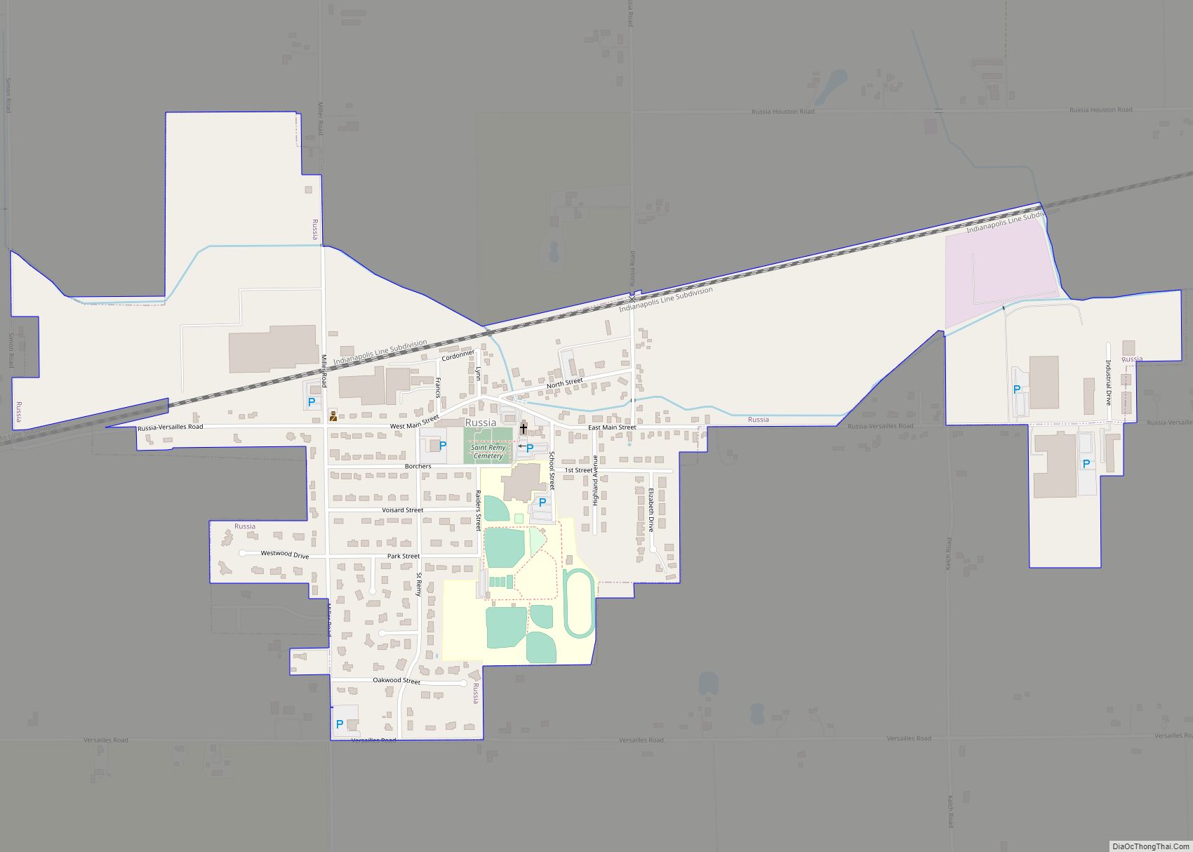
Online Interactive Map
Click on ![]() to view map in "full screen" mode.
to view map in "full screen" mode.
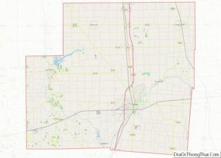
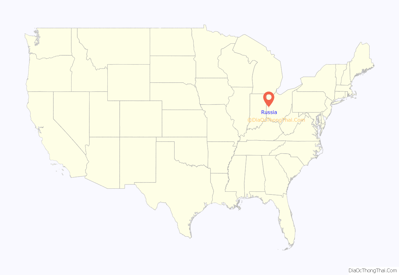
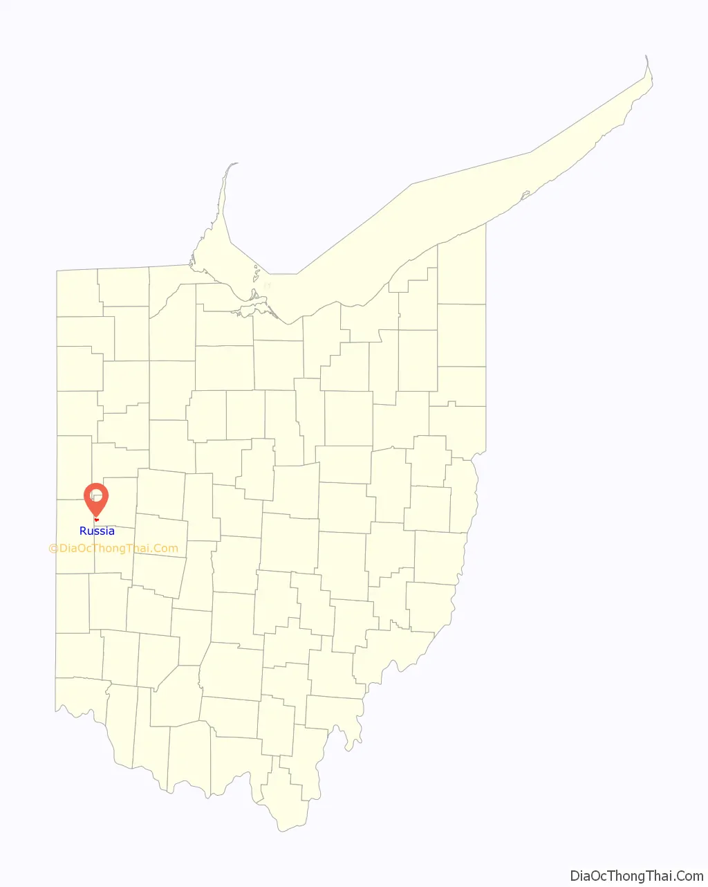
Russia location map. Where is Russia village?
History
Russia was founded by Lewis Phillips, who purchased and plotted the land where the village now sits. Phillips’ house, built in 1853, was the first house in Russia; other settlers followed by the late 1850s. Phillips was also the first businessman in the village, opening a grocery store in 1853. Later settlers soon founded a dry goods store and multiple sawmills; Russia’s economy was once heavily dependent on its sawmills. Among the earliest settlers were French-speaking Swiss who had served under Napoléon Bonaparte during the French invasion of Russia in 1812. According to tradition, the village’s name commemorates a battle these veterans had fought in Russia.
Russia was established in an area that was already predominantly French. In the early part of the nineteenth century, a large number of emigrants from Alsace, Lorraine, and other parts of France settled in southwestern Shelby County and the adjacent portions of northeastern Darke County. Besides Russia, these immigrants founded the communities of Frenchtown and Versailles. By the middle of the 1850s, the heavily Roman Catholic population had grown to the point that multiple parishes were established in the area. A log church was built and dedicated to Saint Remigius, the patron saint of France, and Mass was first celebrated there on June 15, 1854. The congregation soon outgrew its building and constructed a new brick church; when it became too small, a larger brick church was constructed and completed in 1892. The village is one of many small communities in a heavily Catholic region of western Ohio known as the “Land of the Cross-Tipped Churches”.
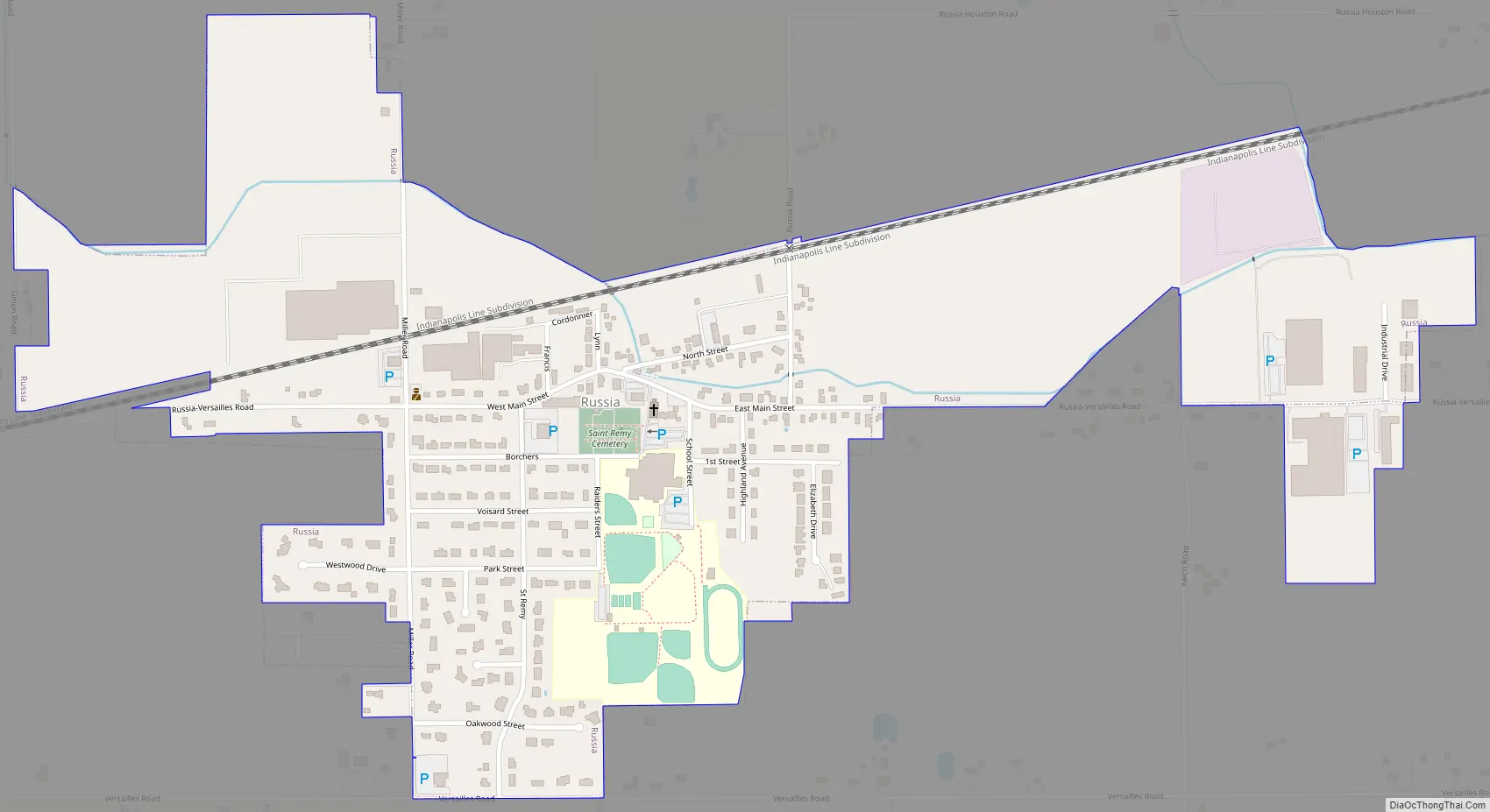
Russia Road Map
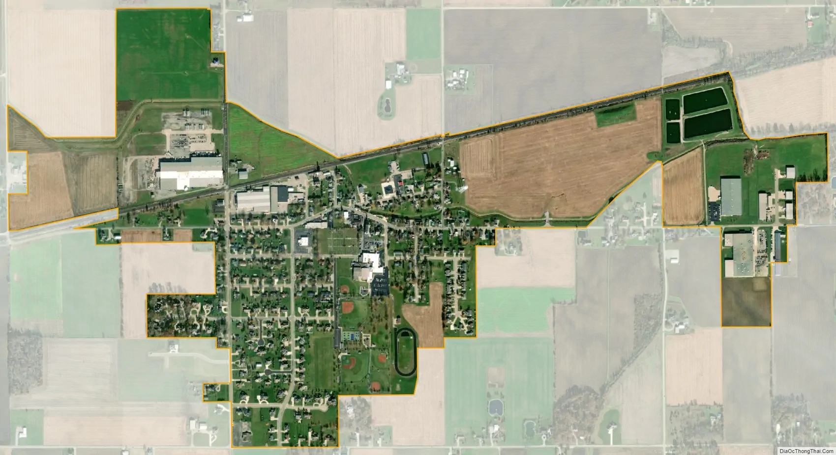
Russia city Satellite Map
Geography
Russia is located at 40°14′5″N 84°24′37″W / 40.23472°N 84.41028°W / 40.23472; -84.41028 (40.234696, −84.410416).
According to the United States Census Bureau, the village has a total area of 0.79 square miles (2.05 km), of which 0.78 square miles (2.02 km) is land and 0.01 square miles (0.03 km) is water.
See also
Map of Ohio State and its subdivision:- Adams
- Allen
- Ashland
- Ashtabula
- Athens
- Auglaize
- Belmont
- Brown
- Butler
- Carroll
- Champaign
- Clark
- Clermont
- Clinton
- Columbiana
- Coshocton
- Crawford
- Cuyahoga
- Darke
- Defiance
- Delaware
- Erie
- Fairfield
- Fayette
- Franklin
- Fulton
- Gallia
- Geauga
- Greene
- Guernsey
- Hamilton
- Hancock
- Hardin
- Harrison
- Henry
- Highland
- Hocking
- Holmes
- Huron
- Jackson
- Jefferson
- Knox
- Lake
- Lake Erie
- Lawrence
- Licking
- Logan
- Lorain
- Lucas
- Madison
- Mahoning
- Marion
- Medina
- Meigs
- Mercer
- Miami
- Monroe
- Montgomery
- Morgan
- Morrow
- Muskingum
- Noble
- Ottawa
- Paulding
- Perry
- Pickaway
- Pike
- Portage
- Preble
- Putnam
- Richland
- Ross
- Sandusky
- Scioto
- Seneca
- Shelby
- Stark
- Summit
- Trumbull
- Tuscarawas
- Union
- Van Wert
- Vinton
- Warren
- Washington
- Wayne
- Williams
- Wood
- Wyandot
- Alabama
- Alaska
- Arizona
- Arkansas
- California
- Colorado
- Connecticut
- Delaware
- District of Columbia
- Florida
- Georgia
- Hawaii
- Idaho
- Illinois
- Indiana
- Iowa
- Kansas
- Kentucky
- Louisiana
- Maine
- Maryland
- Massachusetts
- Michigan
- Minnesota
- Mississippi
- Missouri
- Montana
- Nebraska
- Nevada
- New Hampshire
- New Jersey
- New Mexico
- New York
- North Carolina
- North Dakota
- Ohio
- Oklahoma
- Oregon
- Pennsylvania
- Rhode Island
- South Carolina
- South Dakota
- Tennessee
- Texas
- Utah
- Vermont
- Virginia
- Washington
- West Virginia
- Wisconsin
- Wyoming