Sabina is a village in Clinton County, Ohio, United States. As of the 2010 census, the village had a total population of 2,564.
| Name: | Sabina village |
|---|---|
| LSAD Code: | 47 |
| LSAD Description: | village (suffix) |
| State: | Ohio |
| County: | Clinton County |
| Elevation: | 1,050 ft (320 m) |
| Total Area: | 1.18 sq mi (3.07 km²) |
| Land Area: | 1.18 sq mi (3.05 km²) |
| Water Area: | 0.01 sq mi (0.02 km²) |
| Total Population: | 2,499 |
| Population Density: | 2,125.00/sq mi (820.41/km²) |
| ZIP code: | 45169 |
| Area code: | 937, 326 |
| FIPS code: | 3969400 |
| GNISfeature ID: | 1065264 |
| Website: | sabinaohio.us |
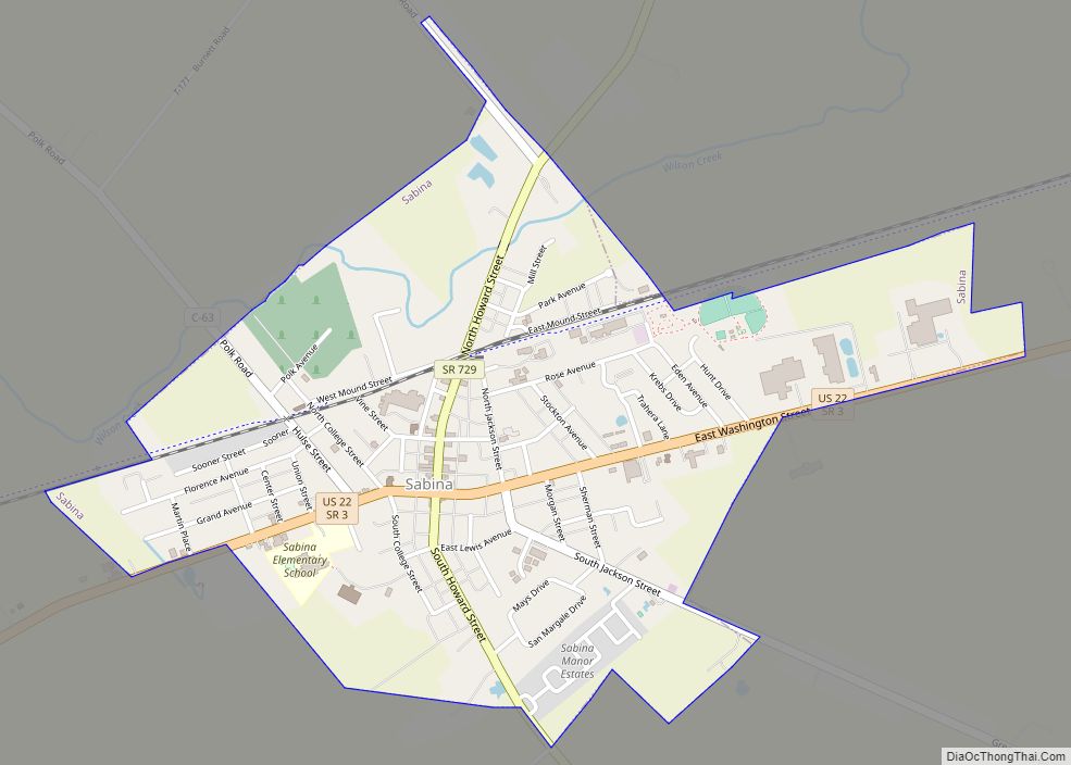
Online Interactive Map
Click on ![]() to view map in "full screen" mode.
to view map in "full screen" mode.
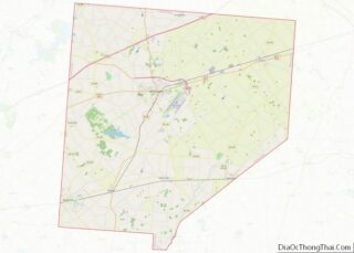
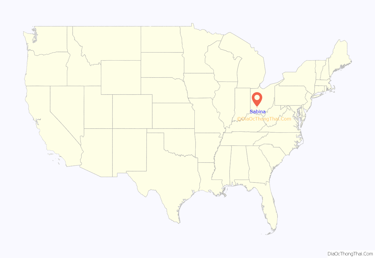
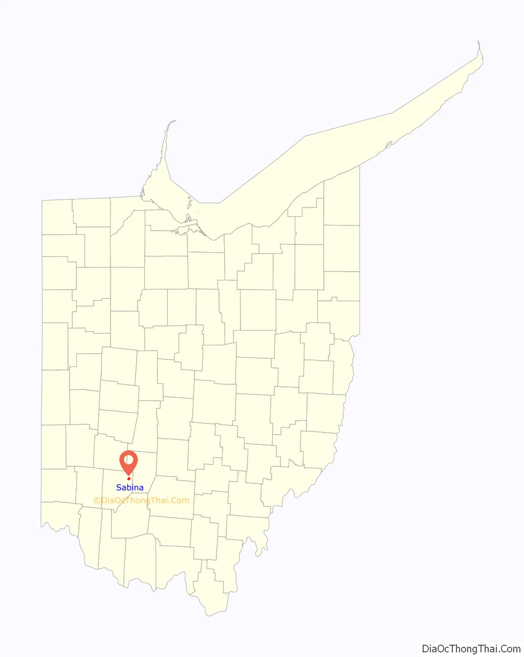
Sabina location map. Where is Sabina village?
History
The town of Sabina was laid out by Warren Sabin, after whom it was named, in 1830, on land originally entered by P. Neville. The original plat of the town was recorded on the 6th of December, 1830, and contained thirty-seven lots. By 1833, Sabina contained two stores and two taverns.
In 1859, the town was incorporated, and M. Morris appointed Mayor.
A group of archaeological sites known as the Beam Farm Woodland Archaeological District is located along Stone Road near the village. Once inhabited by Adenan and Hopewellian peoples, the district is listed on the National Register of Historic Places.
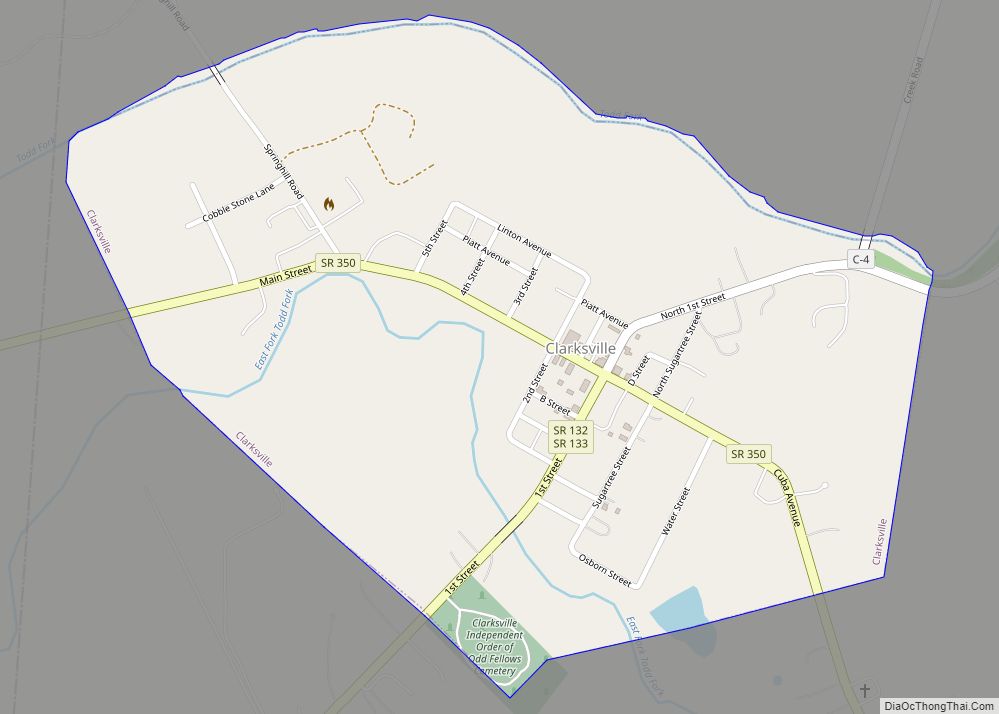
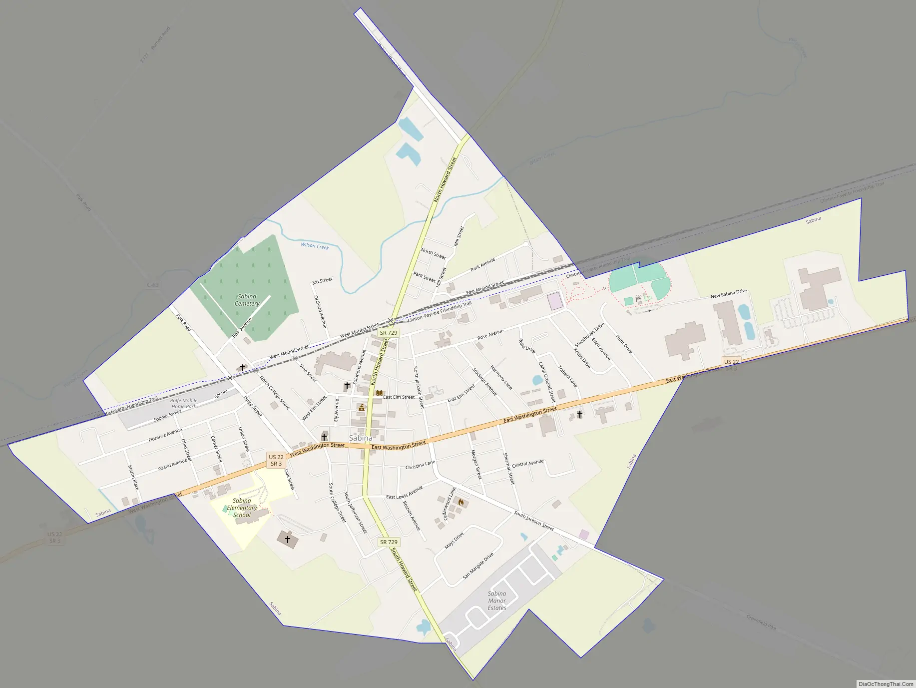
Sabina Road Map
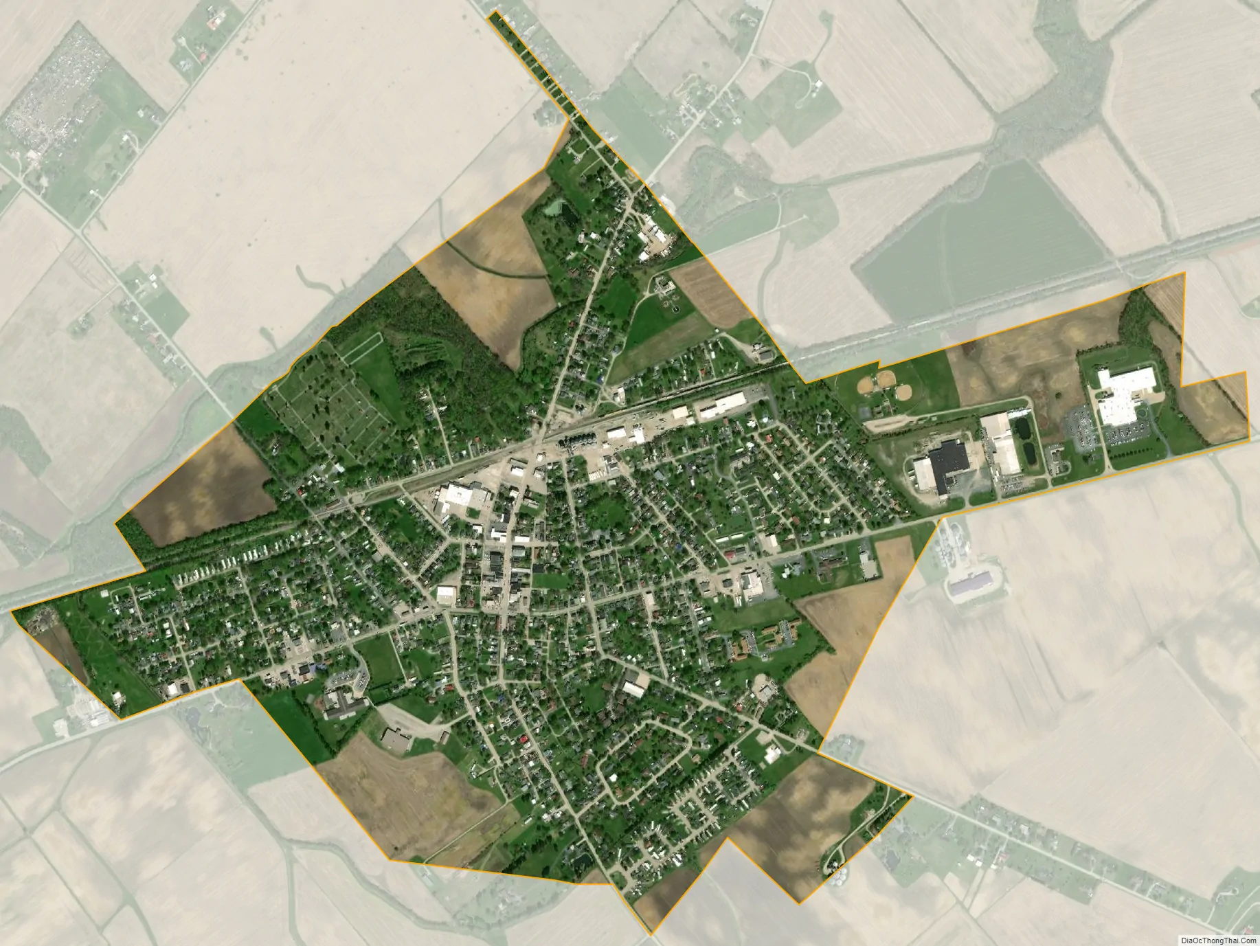
Sabina city Satellite Map
Geography
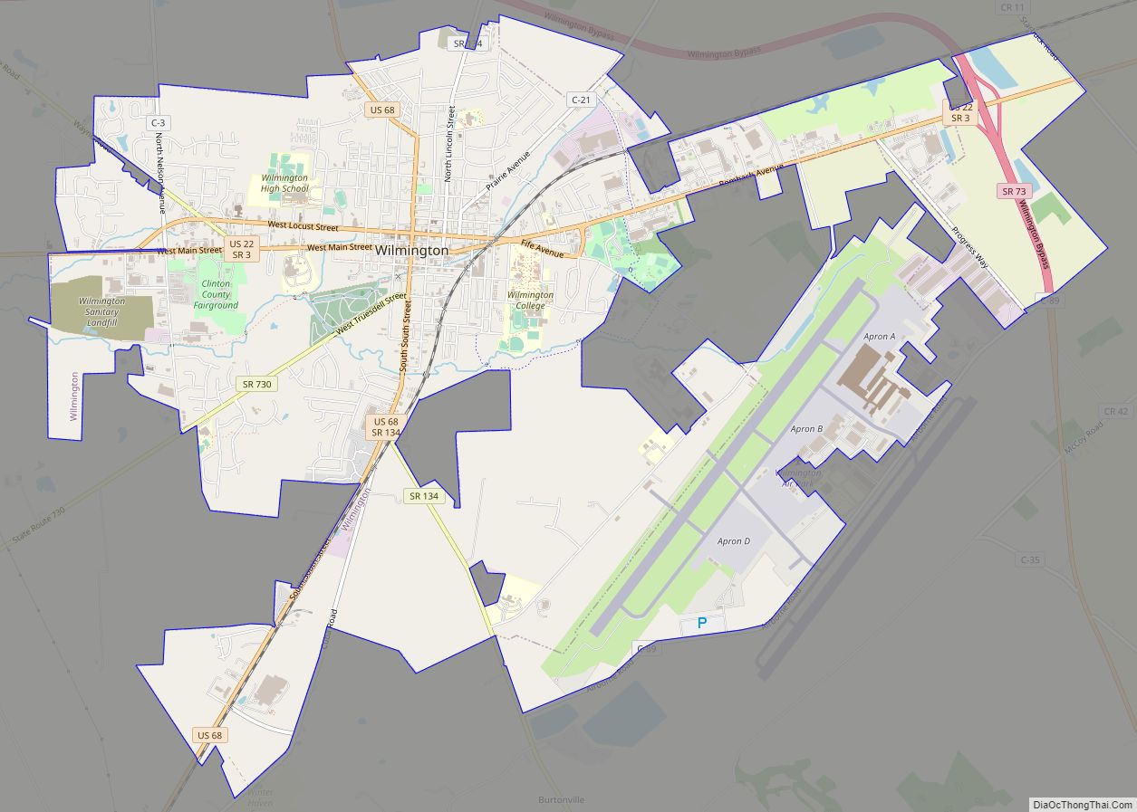
Sabina is located at 39°29′21″N 83°38′6″W / 39.48917°N 83.63500°W / 39.48917; -83.63500 (39.489243, -83.635079), along Routes 22 and 3 about ten miles east of Wilmington, the county seat. It is also located within an hour’s drive of the Columbus, Dayton, and Cincinnati metro areas.
According to the United States Census Bureau, the village has a total area of 1.29 square miles (3.34 km), of which 1.28 square miles (3.32 km) is land and 0.01 square miles (0.03 km) is water.
Sabina is located 31 miles south of Springfield and 47 miles southwest of Columbus.
See also
Map of Ohio State and its subdivision:- Adams
- Allen
- Ashland
- Ashtabula
- Athens
- Auglaize
- Belmont
- Brown
- Butler
- Carroll
- Champaign
- Clark
- Clermont
- Clinton
- Columbiana
- Coshocton
- Crawford
- Cuyahoga
- Darke
- Defiance
- Delaware
- Erie
- Fairfield
- Fayette
- Franklin
- Fulton
- Gallia
- Geauga
- Greene
- Guernsey
- Hamilton
- Hancock
- Hardin
- Harrison
- Henry
- Highland
- Hocking
- Holmes
- Huron
- Jackson
- Jefferson
- Knox
- Lake
- Lake Erie
- Lawrence
- Licking
- Logan
- Lorain
- Lucas
- Madison
- Mahoning
- Marion
- Medina
- Meigs
- Mercer
- Miami
- Monroe
- Montgomery
- Morgan
- Morrow
- Muskingum
- Noble
- Ottawa
- Paulding
- Perry
- Pickaway
- Pike
- Portage
- Preble
- Putnam
- Richland
- Ross
- Sandusky
- Scioto
- Seneca
- Shelby
- Stark
- Summit
- Trumbull
- Tuscarawas
- Union
- Van Wert
- Vinton
- Warren
- Washington
- Wayne
- Williams
- Wood
- Wyandot
- Alabama
- Alaska
- Arizona
- Arkansas
- California
- Colorado
- Connecticut
- Delaware
- District of Columbia
- Florida
- Georgia
- Hawaii
- Idaho
- Illinois
- Indiana
- Iowa
- Kansas
- Kentucky
- Louisiana
- Maine
- Maryland
- Massachusetts
- Michigan
- Minnesota
- Mississippi
- Missouri
- Montana
- Nebraska
- Nevada
- New Hampshire
- New Jersey
- New Mexico
- New York
- North Carolina
- North Dakota
- Ohio
- Oklahoma
- Oregon
- Pennsylvania
- Rhode Island
- South Carolina
- South Dakota
- Tennessee
- Texas
- Utah
- Vermont
- Virginia
- Washington
- West Virginia
- Wisconsin
- Wyoming