Shiloh is a village in Richland County in the U.S. state of Ohio. It is part of the Mansfield, Ohio Metropolitan Statistical Area. The population was 649 at the 2010 census.
| Name: | Shiloh village |
|---|---|
| LSAD Code: | 47 |
| LSAD Description: | village (suffix) |
| State: | Ohio |
| County: | Richland County |
| Founded: | 1852 |
| Incorporated: | 1874 (village) |
| Elevation: | 1,079 ft (329 m) |
| Total Area: | 0.92 sq mi (2.38 km²) |
| Land Area: | 0.92 sq mi (2.37 km²) |
| Water Area: | 0.00 sq mi (0.01 km²) |
| Total Population: | 619 |
| Population Density: | 675.76/sq mi (260.80/km²) |
| ZIP code: | 44878 |
| Area code: | 419 |
| FIPS code: | 3972298 |
| GNISfeature ID: | 1065318 |
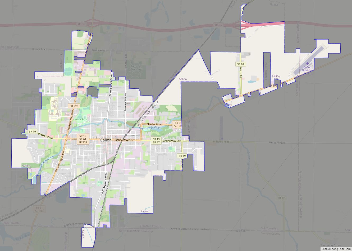
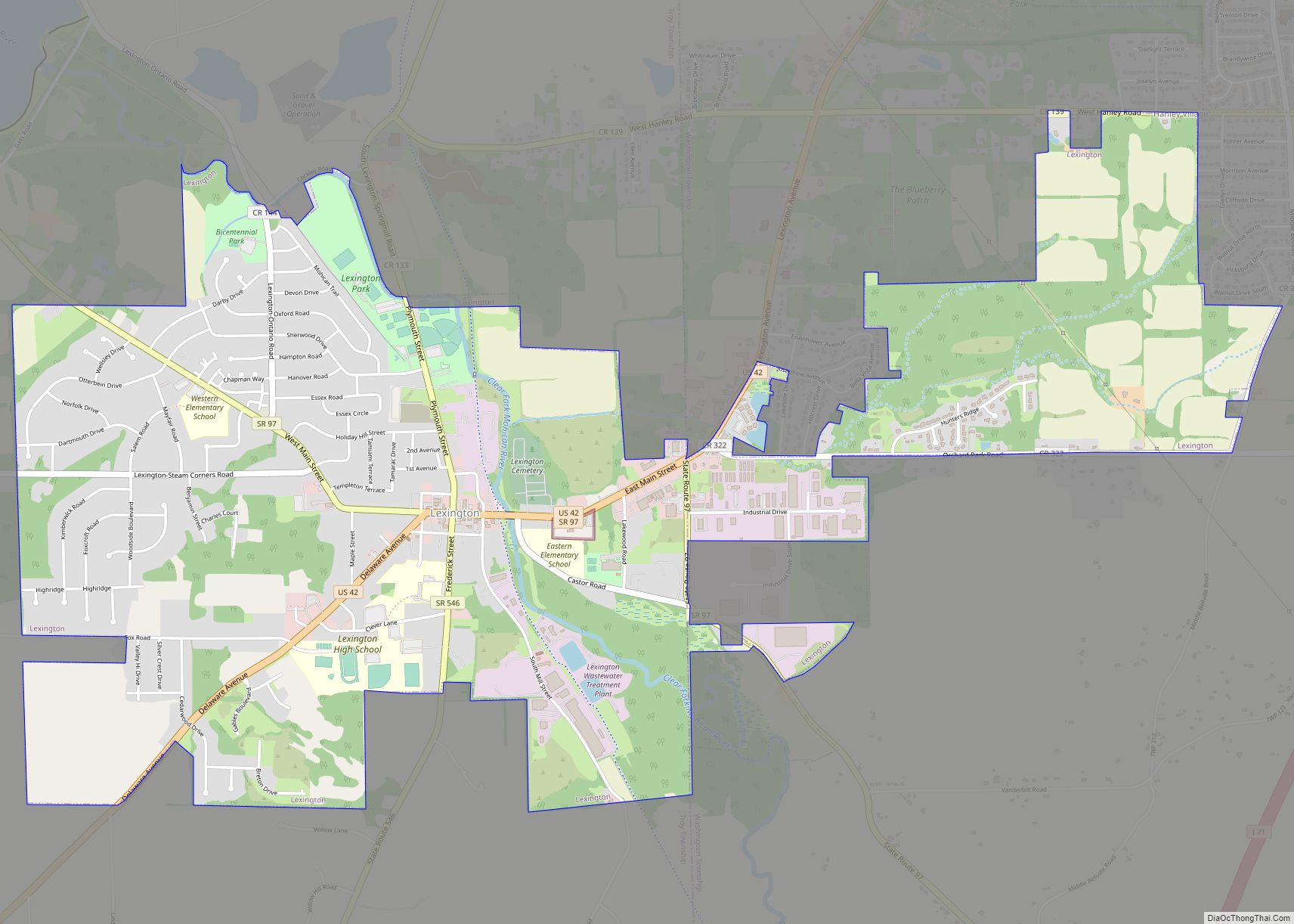
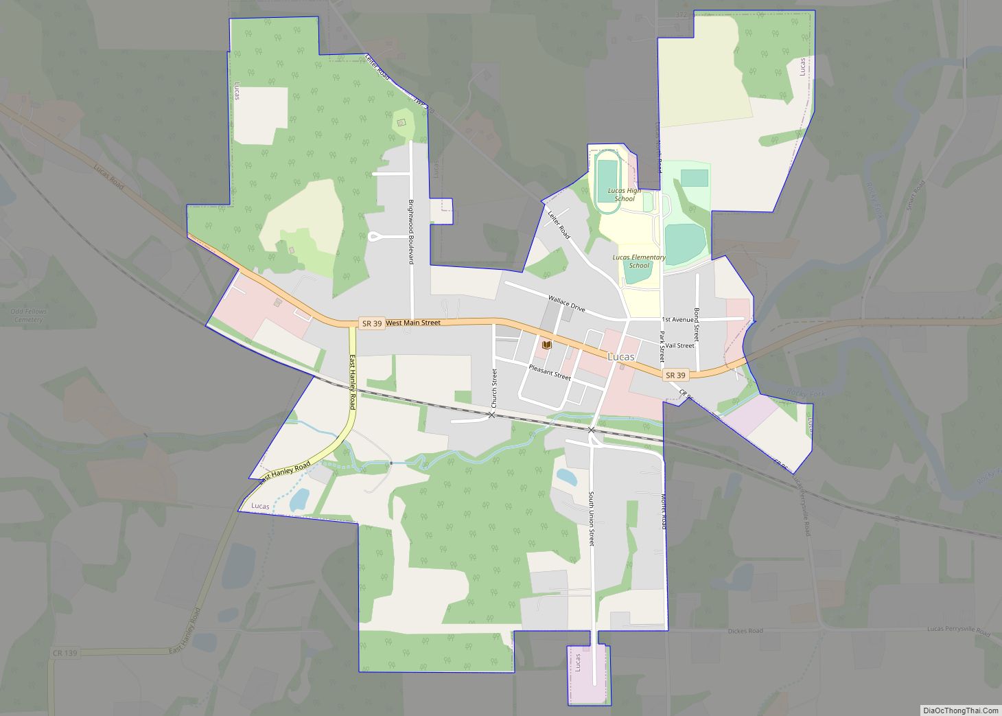
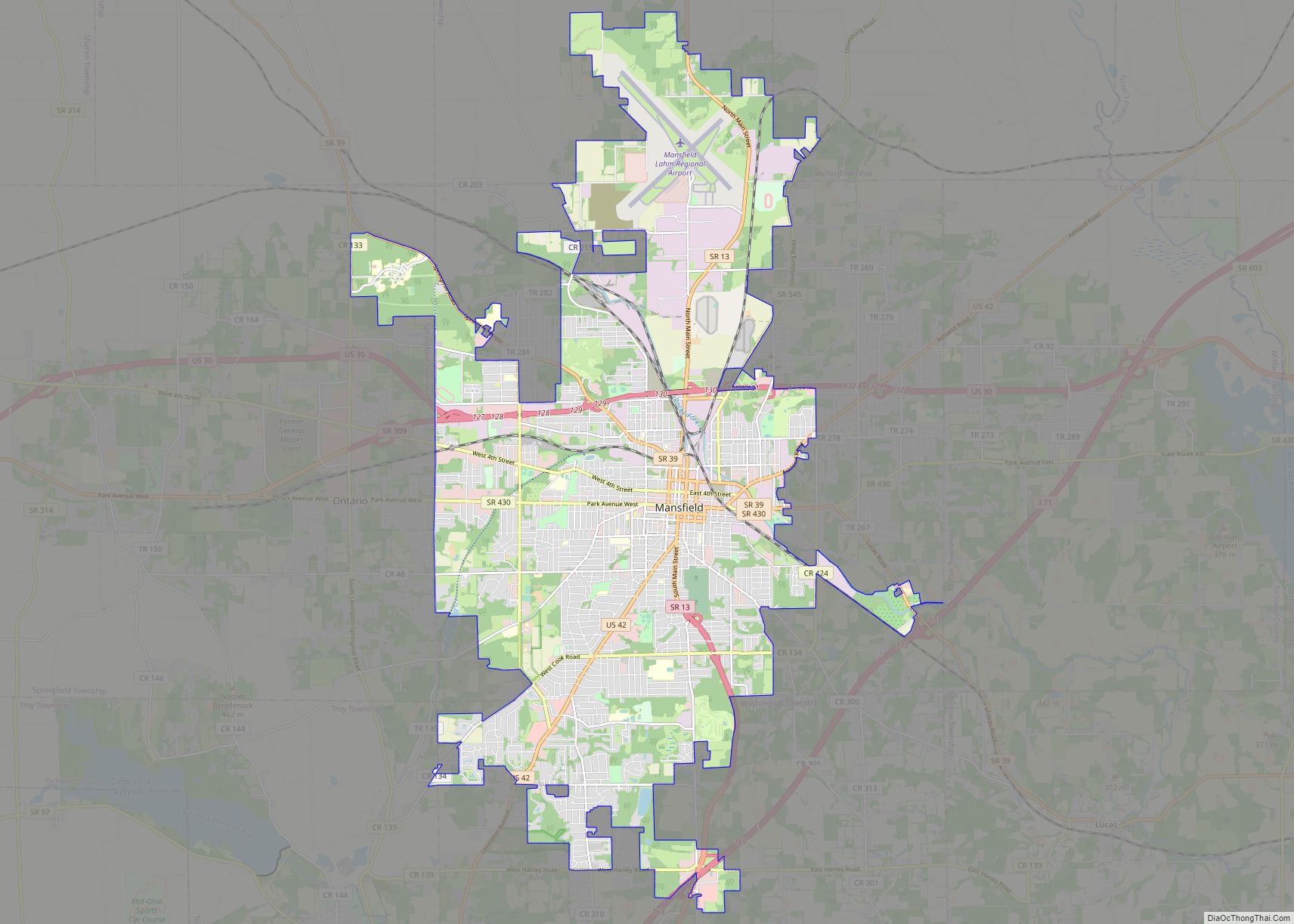
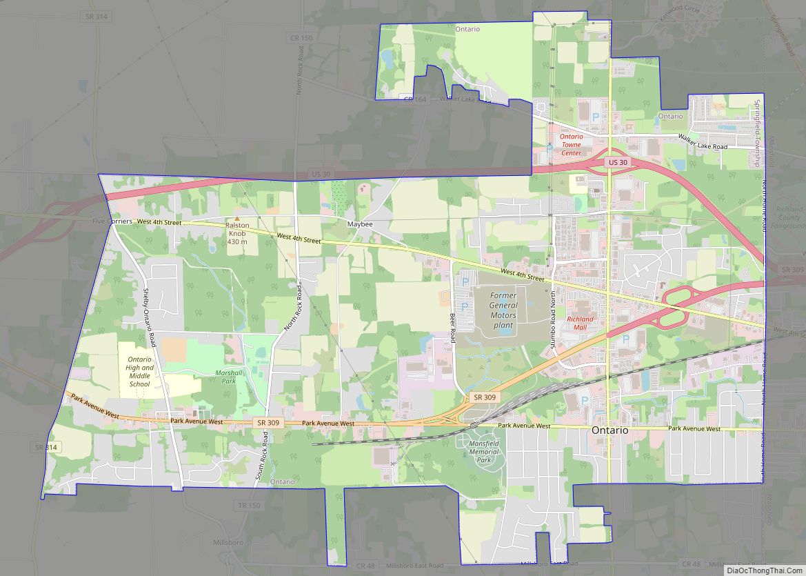
Online Interactive Map
Click on ![]() to view map in "full screen" mode.
to view map in "full screen" mode.
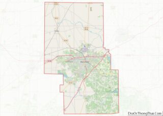
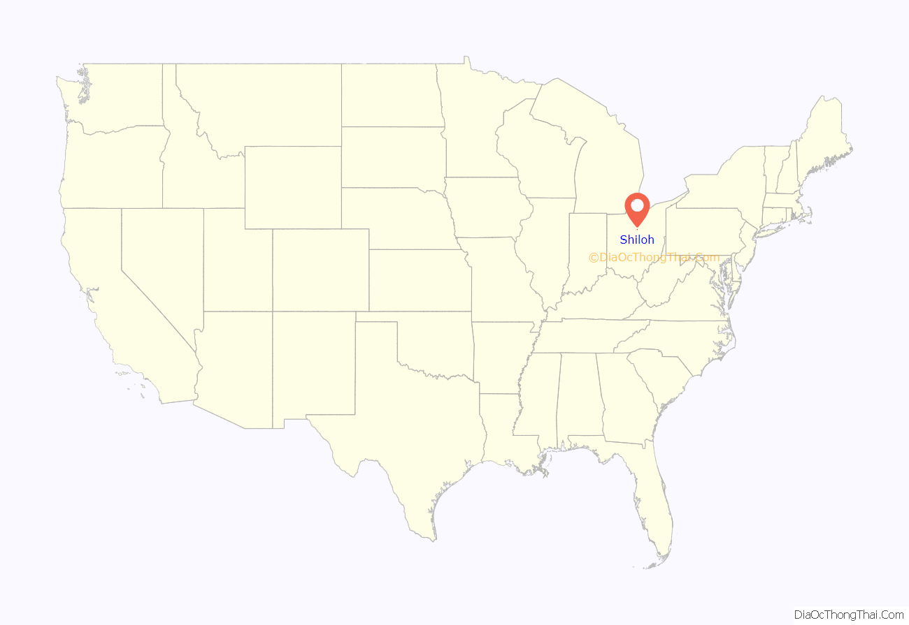
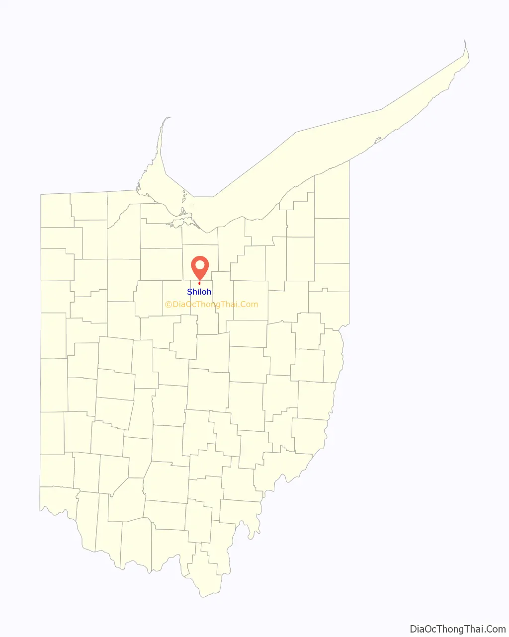
Shiloh location map. Where is Shiloh village?
History
Shiloh was platted in September 1852 at the junction of the Sandusky and Mansfield Railroad, the Cleveland and Columbus Railroad, and a road between the cities of Tiffin and Wooster. It was originally named “Salem Station” because of its proximity to the village of Salem, which ceased to exist soon after the newer community was founded. In 1862, the name was changed to “Shiloh”, but the reasons for the change are unclear: in 1908, some local citizens testified that it was named in honor of the Battle of Shiloh, a Civil War battle fought in 1862, while others stated that it was given in memory of the biblical Shiloh. In 1874, Shiloh was incorporated as a village. Two railroads provided substantial commerce by the end of the century, and natural gas deposits supplied the village with its energy needs and small amounts of gas for export to surrounding communities.
One Shiloh location, the Silas Ferrell House, is listed on the National Register of Historic Places.
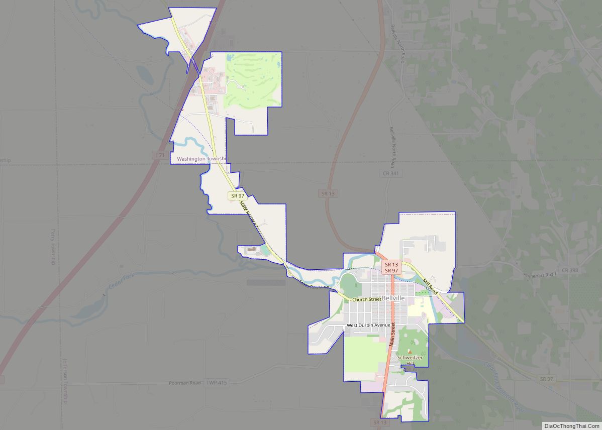
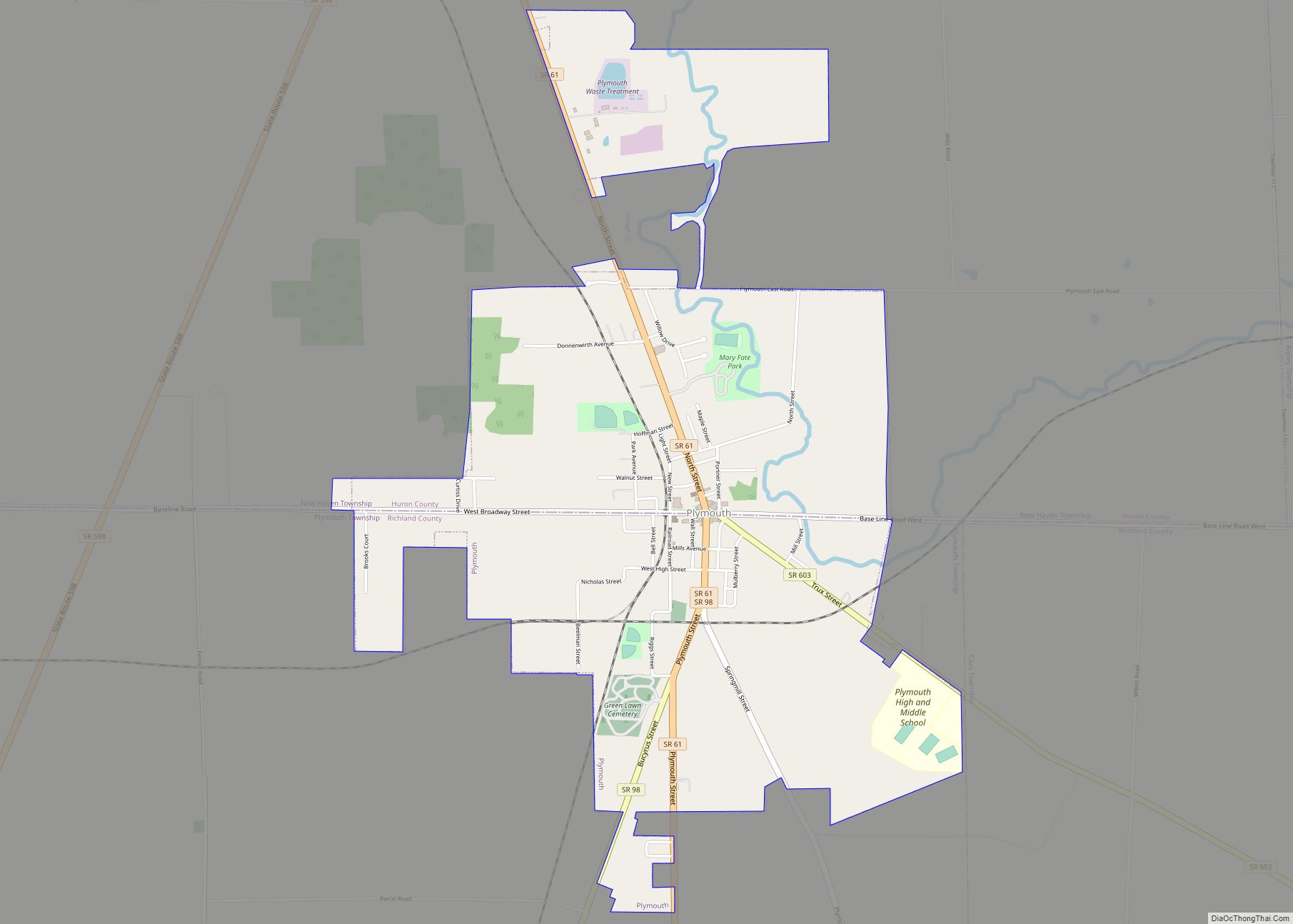
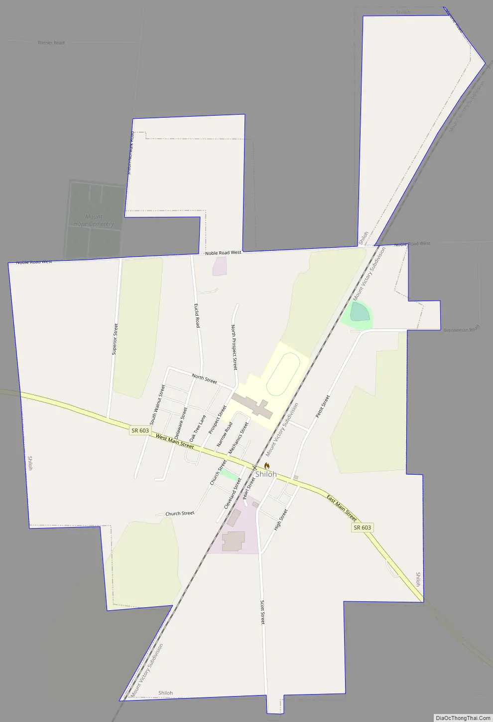
Shiloh Road Map
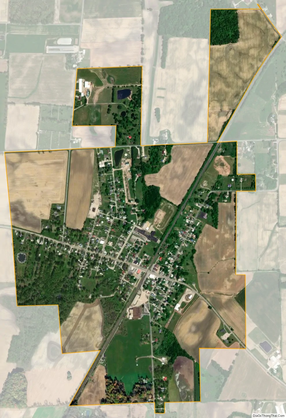
Shiloh city Satellite Map
Geography
Shiloh is located at 40°58′10″N 82°36′10″W / 40.96944°N 82.60278°W / 40.96944; -82.60278 (40.969522, -82.602656).
According to the United States Census Bureau, the village has a total area of 0.91 square miles (2.36 km), all land.
See also
Map of Ohio State and its subdivision:- Adams
- Allen
- Ashland
- Ashtabula
- Athens
- Auglaize
- Belmont
- Brown
- Butler
- Carroll
- Champaign
- Clark
- Clermont
- Clinton
- Columbiana
- Coshocton
- Crawford
- Cuyahoga
- Darke
- Defiance
- Delaware
- Erie
- Fairfield
- Fayette
- Franklin
- Fulton
- Gallia
- Geauga
- Greene
- Guernsey
- Hamilton
- Hancock
- Hardin
- Harrison
- Henry
- Highland
- Hocking
- Holmes
- Huron
- Jackson
- Jefferson
- Knox
- Lake
- Lake Erie
- Lawrence
- Licking
- Logan
- Lorain
- Lucas
- Madison
- Mahoning
- Marion
- Medina
- Meigs
- Mercer
- Miami
- Monroe
- Montgomery
- Morgan
- Morrow
- Muskingum
- Noble
- Ottawa
- Paulding
- Perry
- Pickaway
- Pike
- Portage
- Preble
- Putnam
- Richland
- Ross
- Sandusky
- Scioto
- Seneca
- Shelby
- Stark
- Summit
- Trumbull
- Tuscarawas
- Union
- Van Wert
- Vinton
- Warren
- Washington
- Wayne
- Williams
- Wood
- Wyandot
- Alabama
- Alaska
- Arizona
- Arkansas
- California
- Colorado
- Connecticut
- Delaware
- District of Columbia
- Florida
- Georgia
- Hawaii
- Idaho
- Illinois
- Indiana
- Iowa
- Kansas
- Kentucky
- Louisiana
- Maine
- Maryland
- Massachusetts
- Michigan
- Minnesota
- Mississippi
- Missouri
- Montana
- Nebraska
- Nevada
- New Hampshire
- New Jersey
- New Mexico
- New York
- North Carolina
- North Dakota
- Ohio
- Oklahoma
- Oregon
- Pennsylvania
- Rhode Island
- South Carolina
- South Dakota
- Tennessee
- Texas
- Utah
- Vermont
- Virginia
- Washington
- West Virginia
- Wisconsin
- Wyoming