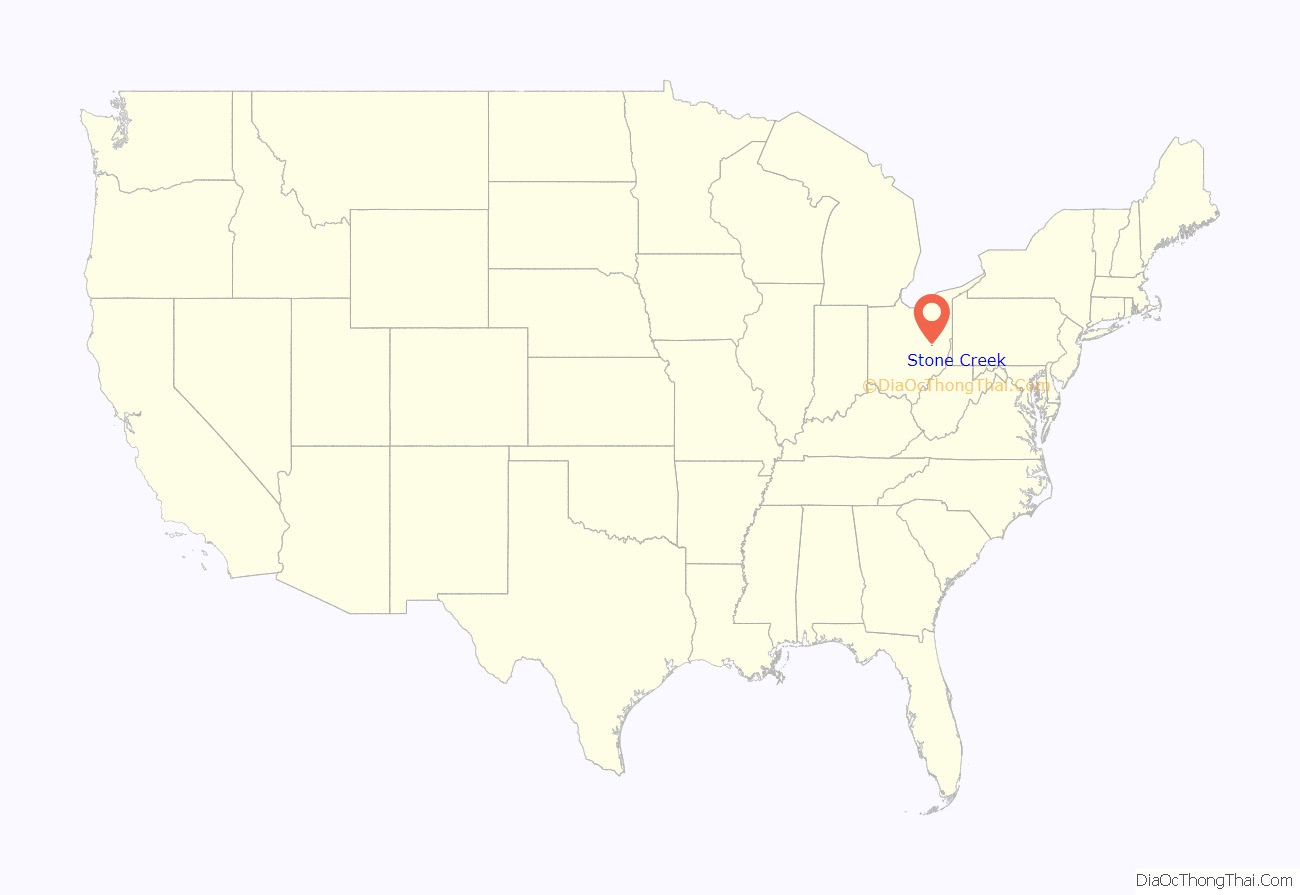
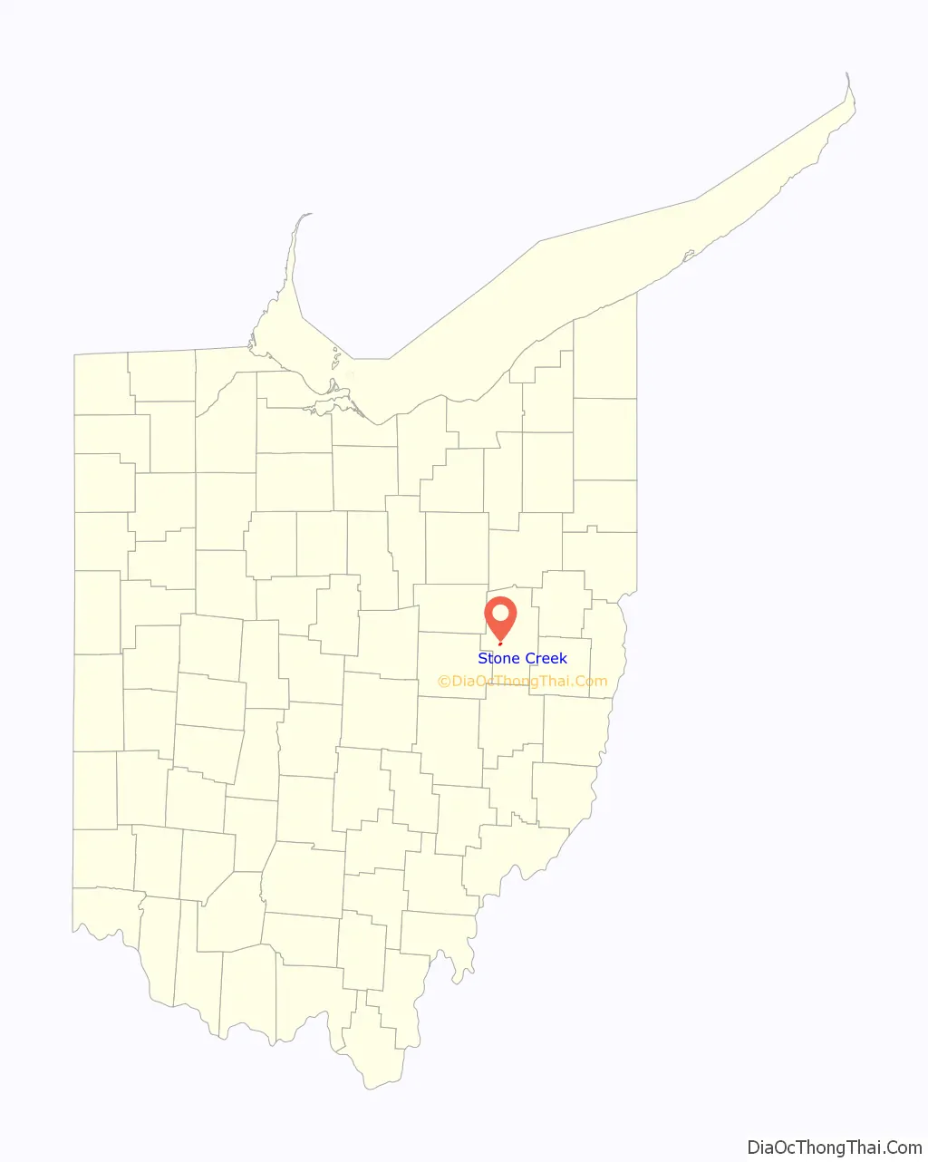
Stone Creek is a village in Tuscarawas County, Ohio, United States. The population was 153 at the 2020 census.
Stone Creek has a youth baseball league called the Stone Creek Panthers, based on the name of mascot of the former high school.
| Name: | Stone Creek village |
|---|---|
| LSAD Code: | 47 |
| LSAD Description: | village (suffix) |
| State: | Ohio |
| County: | Tuscarawas County |
| Elevation: | 942 ft (287 m) |
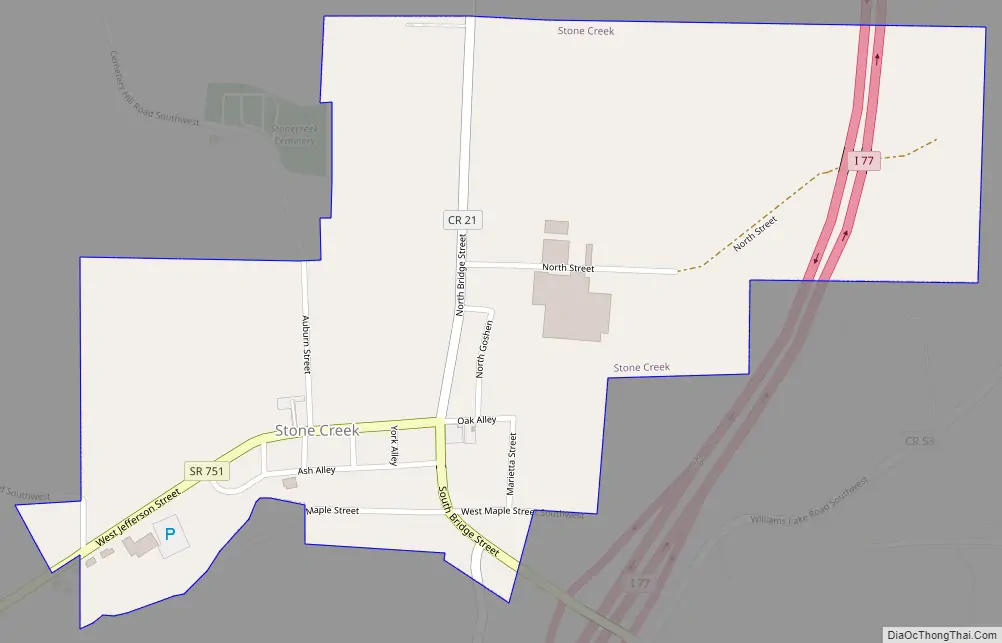
| Total Area: | 0.43 sq mi (1.10 km²) |
| Land Area: | 0.42 sq mi (1.10 km²) |
| Water Area: | 0.00 sq mi (0.00 km²) |
| Total Population: | 153 |
| Population Density: | 360.00/sq mi (138.94/km²) |
| ZIP code: | 43840 |
| Area code: | 330 |
| FIPS code: | 3974804 |
| GNISfeature ID: | 1058048 |
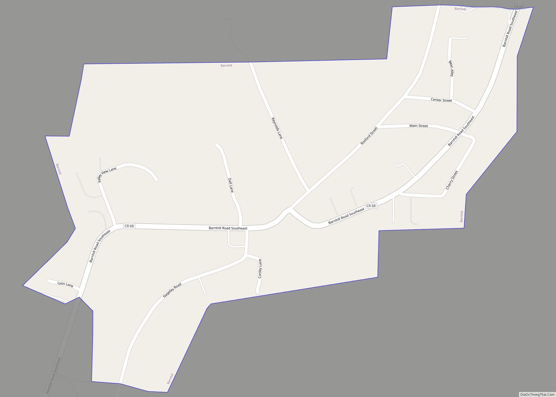
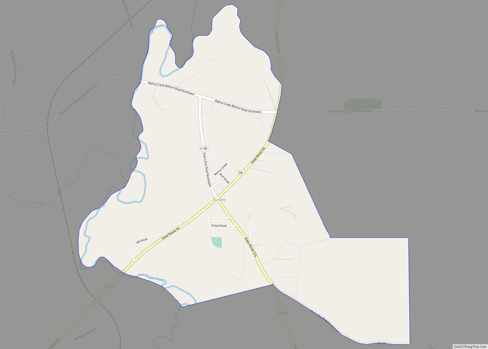
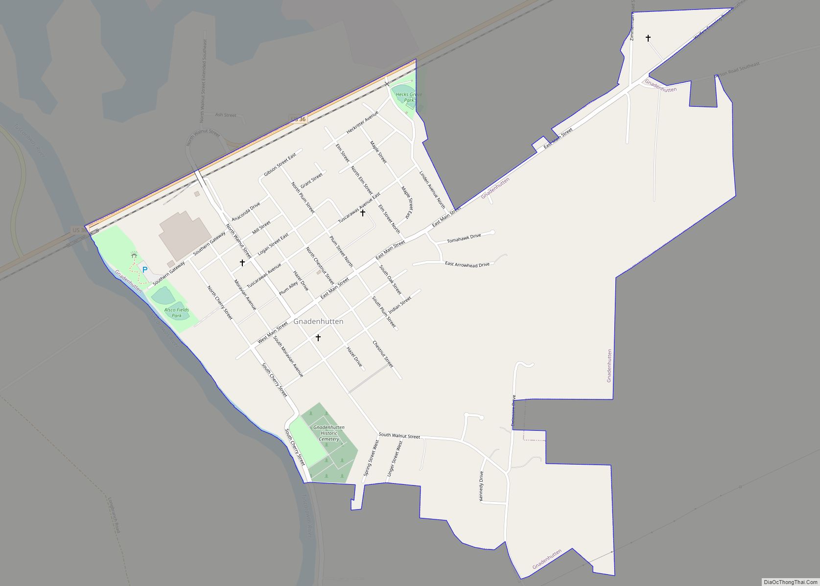
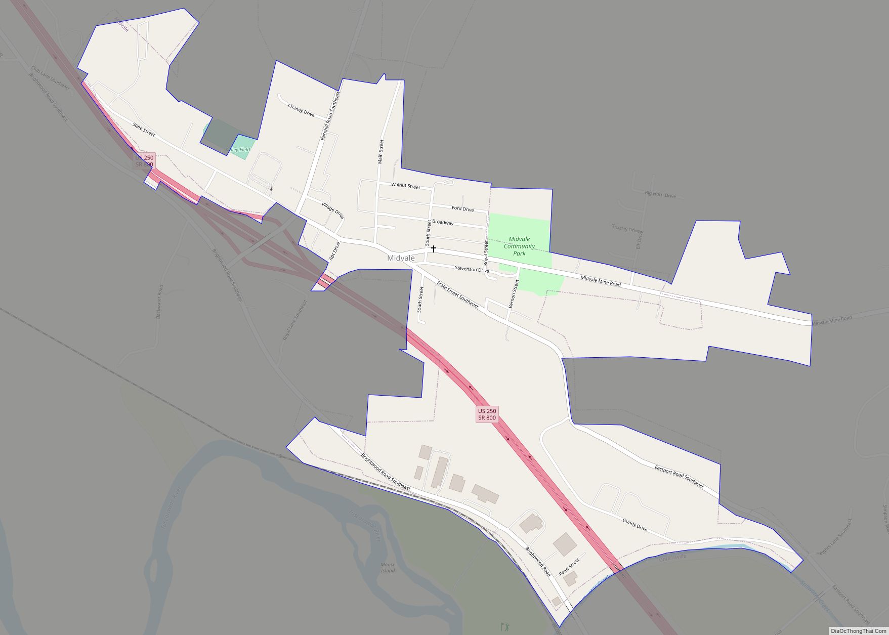
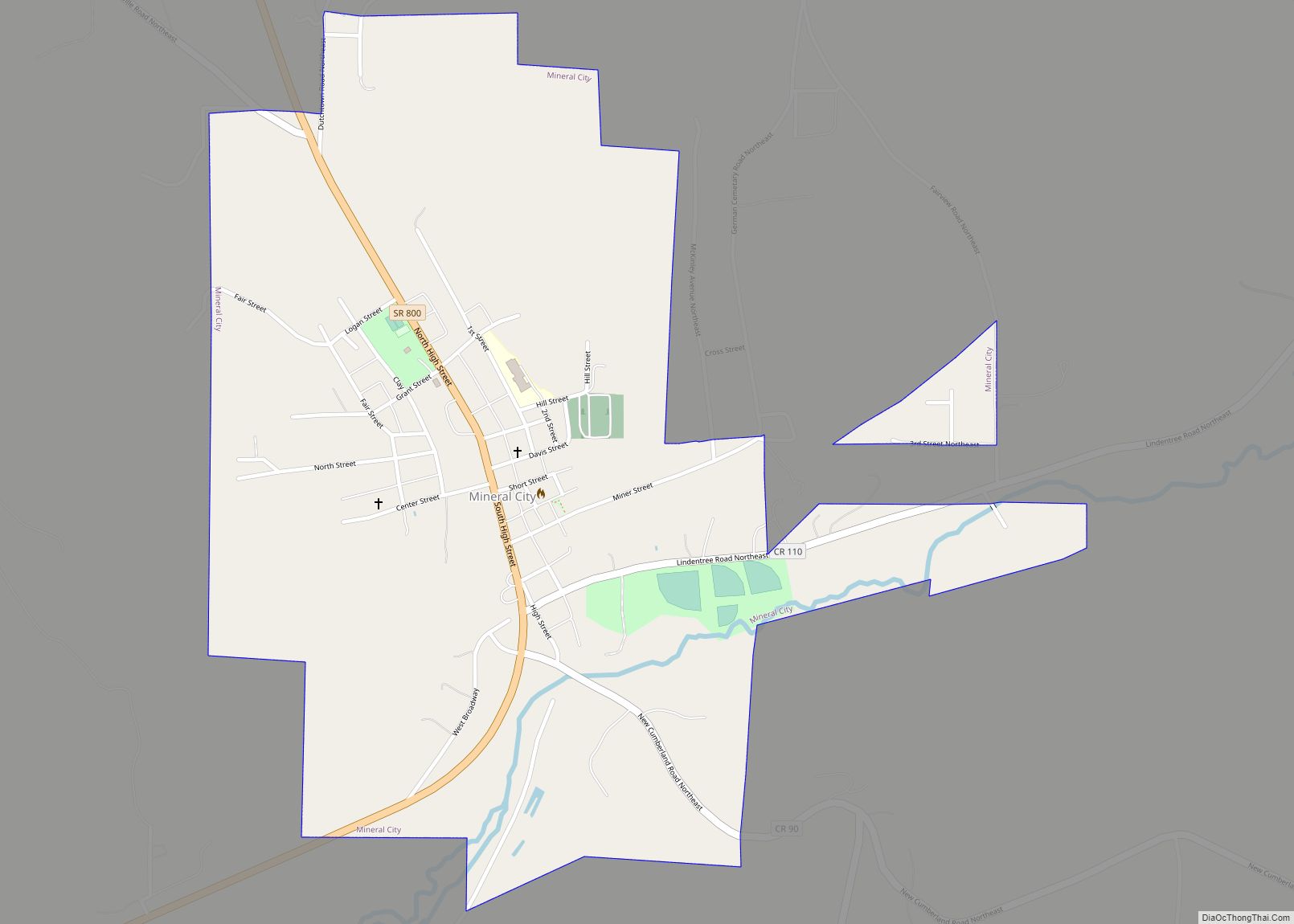
Online Interactive Map
Click on ![]() to view map in "full screen" mode.
to view map in "full screen" mode.
Stone Creek location map. Where is Stone Creek village?
History
In 1827, the first settlers purchased land in the area that would become the village of Stone Creek. A resident by the name of Philip Burrier hauled many loads of stone to create a passage across the swampy creek for horses and wagons to cross, so when a post office was established on the property of Michael Harmon in 1840, it was named Stone Creek. However, when the town was laid out by Phillip Leonhardt in 1854, he bestowed himself the honor of calling it Phillipsburg.
In 1904, village council members, Charlie Kughler and Fred Haas took the a train from the village to Akron to file incorporation papers for the village, only to discover that another Phillipsburg already existed in Ohio near Dayton. It was then they decided to name the village after the post office that had already been established there.
The Stone Creek Volunteer Fire Department was officially established in 1949. Before that, citizens of the village would come together to put out their neighbor’s fires.
Stone Creek had a school called Stone Creek Jefferson School. The building was built in 1927 and closed in 1974. It operated as an independent school until 1965 when the school consolidated with the neighboring New Philadelphia City School District. The building was demolished on October 17, 1979.
Stone Creek Road Map
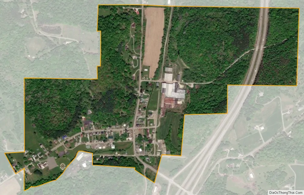
Stone Creek city Satellite Map
Geography
Stone Creek is located at 40°23′51″N 81°33′32″W / 40.39750°N 81.55889°W / 40.39750; -81.55889 (40.397391, -81.558933).
According to the United States Census Bureau, the village has a total area of 0.43 square miles (1.11 km), all land.
See also
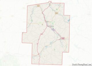
Map of Ohio State and its subdivision:- Adams
- Allen
- Ashland
- Ashtabula
- Athens
- Auglaize
- Belmont
- Brown
- Butler
- Carroll
- Champaign
- Clark
- Clermont
- Clinton
- Columbiana
- Coshocton
- Crawford
- Cuyahoga
- Darke
- Defiance
- Delaware
- Erie
- Fairfield
- Fayette
- Franklin
- Fulton
- Gallia
- Geauga
- Greene
- Guernsey
- Hamilton
- Hancock
- Hardin
- Harrison
- Henry
- Highland
- Hocking
- Holmes
- Huron
- Jackson
- Jefferson
- Knox
- Lake
- Lake Erie
- Lawrence
- Licking
- Logan
- Lorain
- Lucas
- Madison
- Mahoning
- Marion
- Medina
- Meigs
- Mercer
- Miami
- Monroe
- Montgomery
- Morgan
- Morrow
- Muskingum
- Noble
- Ottawa
- Paulding
- Perry
- Pickaway
- Pike
- Portage
- Preble
- Putnam
- Richland
- Ross
- Sandusky
- Scioto
- Seneca
- Shelby
- Stark
- Summit
- Trumbull
- Tuscarawas
- Union
- Van Wert
- Vinton
- Warren
- Washington
- Wayne
- Williams
- Wood
- Wyandot
- Alabama
- Alaska
- Arizona
- Arkansas
- California
- Colorado
- Connecticut
- Delaware
- District of Columbia
- Florida
- Georgia
- Hawaii
- Idaho
- Illinois
- Indiana
- Iowa
- Kansas
- Kentucky
- Louisiana
- Maine
- Maryland
- Massachusetts
- Michigan
- Minnesota
- Mississippi
- Missouri
- Montana
- Nebraska
- Nevada
- New Hampshire
- New Jersey
- New Mexico
- New York
- North Carolina
- North Dakota
- Ohio
- Oklahoma
- Oregon
- Pennsylvania
- Rhode Island
- South Carolina
- South Dakota
- Tennessee
- Texas
- Utah
- Vermont
- Virginia
- Washington
- West Virginia
- Wisconsin
- Wyoming