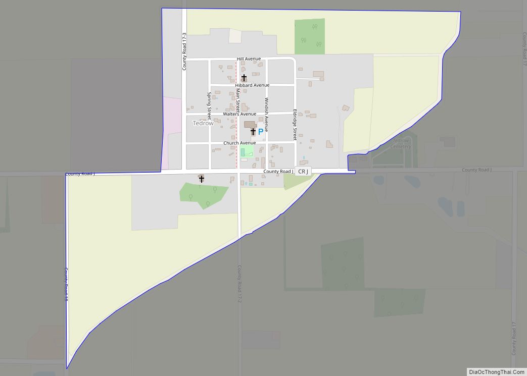
Tedrow is an unincorporated community and census-designated place (CDP) in southwestern Dover Township, Fulton County, Ohio, United States. It lies at the intersection of the east-west County Road J with the north-south County Roads 17-2 and 17-3, 3 miles (5 km) north and 3.5 miles (5.6 km) west of the northern edge of the city of Wauseon, the county seat of Fulton County. The community lies less than one mile (about 1 km) north of the Ohio Turnpike, although the nearest exit is several miles away.
The 2010 US Census counted 73 households and 173 people living in Tedrow.
| Name: | Tedrow CDP |
|---|---|
| LSAD Code: | 57 |
| LSAD Description: | CDP (suffix) |
| State: | Ohio |
| County: | Fulton County |
| Elevation: | 768 ft (234 m) |
| Total Area: | 0.32 sq mi (0.83 km²) |
| Land Area: | 0.32 sq mi (0.83 km²) |
| Water Area: | 0.00 sq mi (0.00 km²) |
| Total Population: | 168 |
| Population Density: | 523.36/sq mi (202.30/km²) |
| ZIP code: | 43567 |
| Area code: | 419 and 567 |
| FIPS code: | 3976358 |
| GNISfeature ID: | 1061678 |
Online Interactive Map
Click on ![]() to view map in "full screen" mode.
to view map in "full screen" mode.
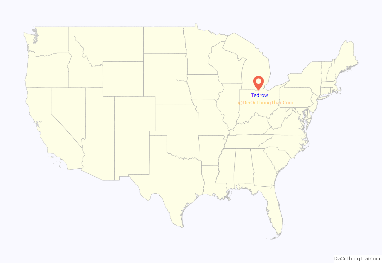
Tedrow location map. Where is Tedrow CDP?
History
Spring Hill
Brush Creek, a tributary of the Tiffin River, rises near Tedrow. The creek is fed by a spring. The spring’s clean water made the spot a favorite Indian campground and resting place in their migratory hunting excursions. Thus, Tedrow was first known as “Spring Hill”, as shown on an 1858 plat map.
Tedrow Post Office
A post office was established in 1839, and remained in operation until 1917. The community was named for the local Tedrow family.
Tedrow Road Map
Tedrow city Satellite Map
See also
Map of Ohio State and its subdivision:- Adams
- Allen
- Ashland
- Ashtabula
- Athens
- Auglaize
- Belmont
- Brown
- Butler
- Carroll
- Champaign
- Clark
- Clermont
- Clinton
- Columbiana
- Coshocton
- Crawford
- Cuyahoga
- Darke
- Defiance
- Delaware
- Erie
- Fairfield
- Fayette
- Franklin
- Fulton
- Gallia
- Geauga
- Greene
- Guernsey
- Hamilton
- Hancock
- Hardin
- Harrison
- Henry
- Highland
- Hocking
- Holmes
- Huron
- Jackson
- Jefferson
- Knox
- Lake
- Lake Erie
- Lawrence
- Licking
- Logan
- Lorain
- Lucas
- Madison
- Mahoning
- Marion
- Medina
- Meigs
- Mercer
- Miami
- Monroe
- Montgomery
- Morgan
- Morrow
- Muskingum
- Noble
- Ottawa
- Paulding
- Perry
- Pickaway
- Pike
- Portage
- Preble
- Putnam
- Richland
- Ross
- Sandusky
- Scioto
- Seneca
- Shelby
- Stark
- Summit
- Trumbull
- Tuscarawas
- Union
- Van Wert
- Vinton
- Warren
- Washington
- Wayne
- Williams
- Wood
- Wyandot
- Alabama
- Alaska
- Arizona
- Arkansas
- California
- Colorado
- Connecticut
- Delaware
- District of Columbia
- Florida
- Georgia
- Hawaii
- Idaho
- Illinois
- Indiana
- Iowa
- Kansas
- Kentucky
- Louisiana
- Maine
- Maryland
- Massachusetts
- Michigan
- Minnesota
- Mississippi
- Missouri
- Montana
- Nebraska
- Nevada
- New Hampshire
- New Jersey
- New Mexico
- New York
- North Carolina
- North Dakota
- Ohio
- Oklahoma
- Oregon
- Pennsylvania
- Rhode Island
- South Carolina
- South Dakota
- Tennessee
- Texas
- Utah
- Vermont
- Virginia
- Washington
- West Virginia
- Wisconsin
- Wyoming
