Uhrichsville(/ˈɜːrɪksˌvɪl/ UR-iks-vil) is a city in Tuscarawas County, Ohio, United States. The population was 5,413 at the 2010 census. Claymont City School District is the major education provider for the city of Uhrichsville and for the village of Dennison, Ohio. The Twin cities is a nickname used to describe Uhrichsville and Dennison because they are adjacent and similar.
| Name: | Uhrichsville city |
|---|---|
| LSAD Code: | 25 |
| LSAD Description: | city (suffix) |
| State: | Ohio |
| County: | Tuscarawas County |
| Elevation: | 856 ft (261 m) |
| Total Area: | 2.84 sq mi (7.36 km²) |
| Land Area: | 2.84 sq mi (7.35 km²) |
| Water Area: | 0.00 sq mi (0.01 km²) |
| Total Population: | 5,272 |
| Population Density: | 1,857.65/sq mi (717.19/km²) |
| ZIP code: | 44683 |
| Area code: | 740 |
| FIPS code: | 3978176 |
| GNISfeature ID: | 1061719 |
| Website: | https://www.cityofuhrichsville.org/ |
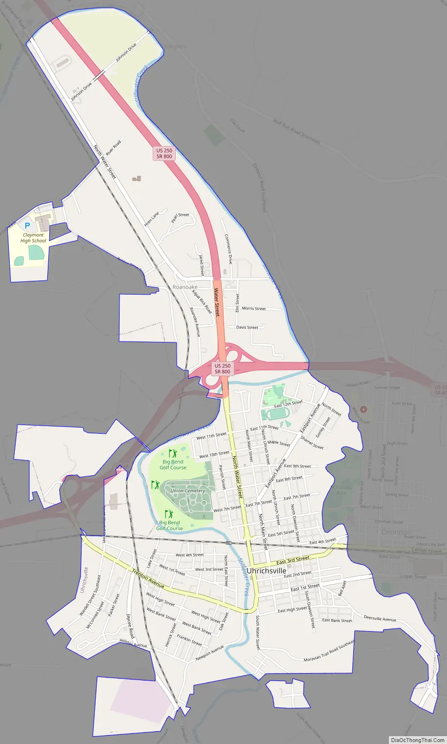
Online Interactive Map
Click on ![]() to view map in "full screen" mode.
to view map in "full screen" mode.
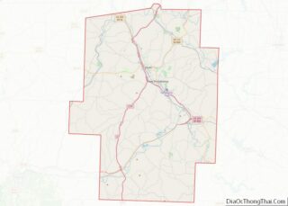
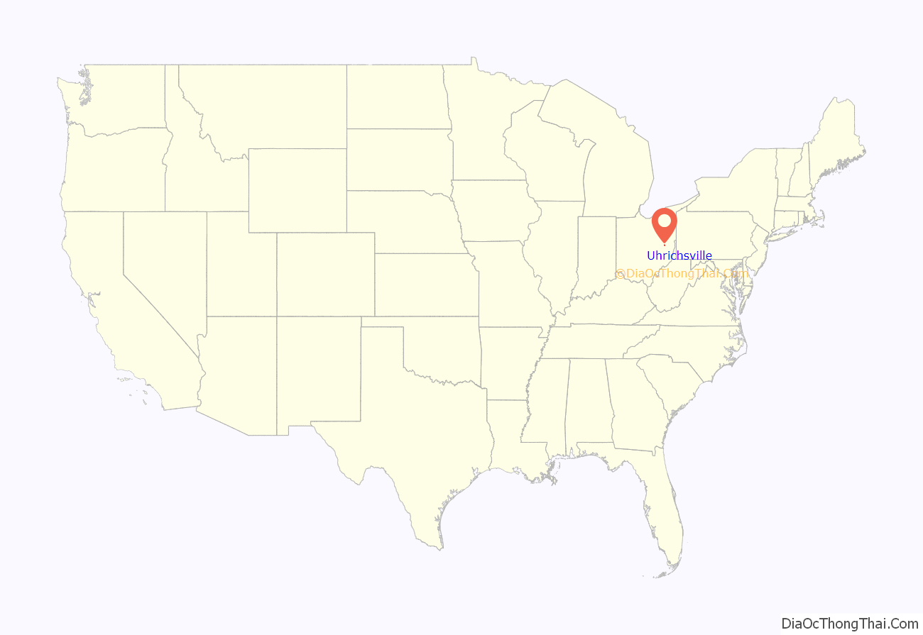
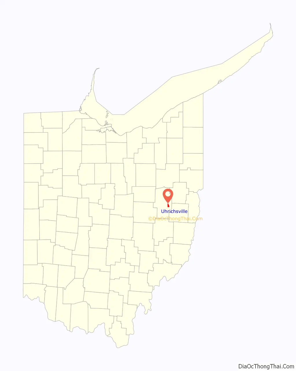
Uhrichsville location map. Where is Uhrichsville city?
History
Although the town was laid out under the name of “Waterford” in 1833, it was informally known as “Uhrich’s Mill” after Michael Uhrich, a local mill operator, and in 1839 the town was officially renamed Uhrichsville. It benefitted from the Ohio and Erie Canal and later from the Pan Handle Railroad. Railroad shops built at nearby Dennison later added further to Uhrichsville’s growth.
Uhrichsville Water Park opened in June 2008. It has heated pools and features slides, waterfalls, buckets, and a water jungle-gym.
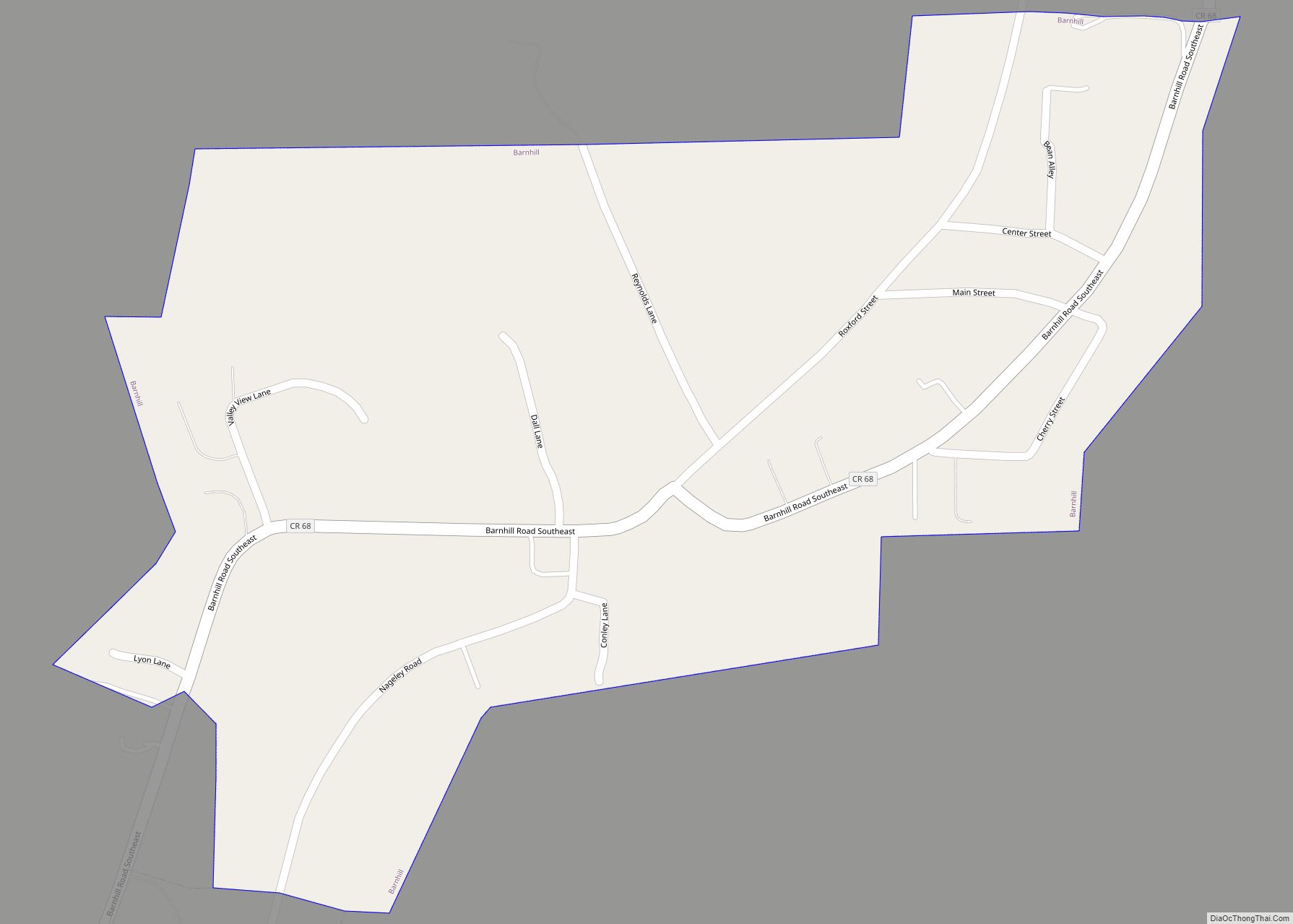
Uhrichsville Road Map
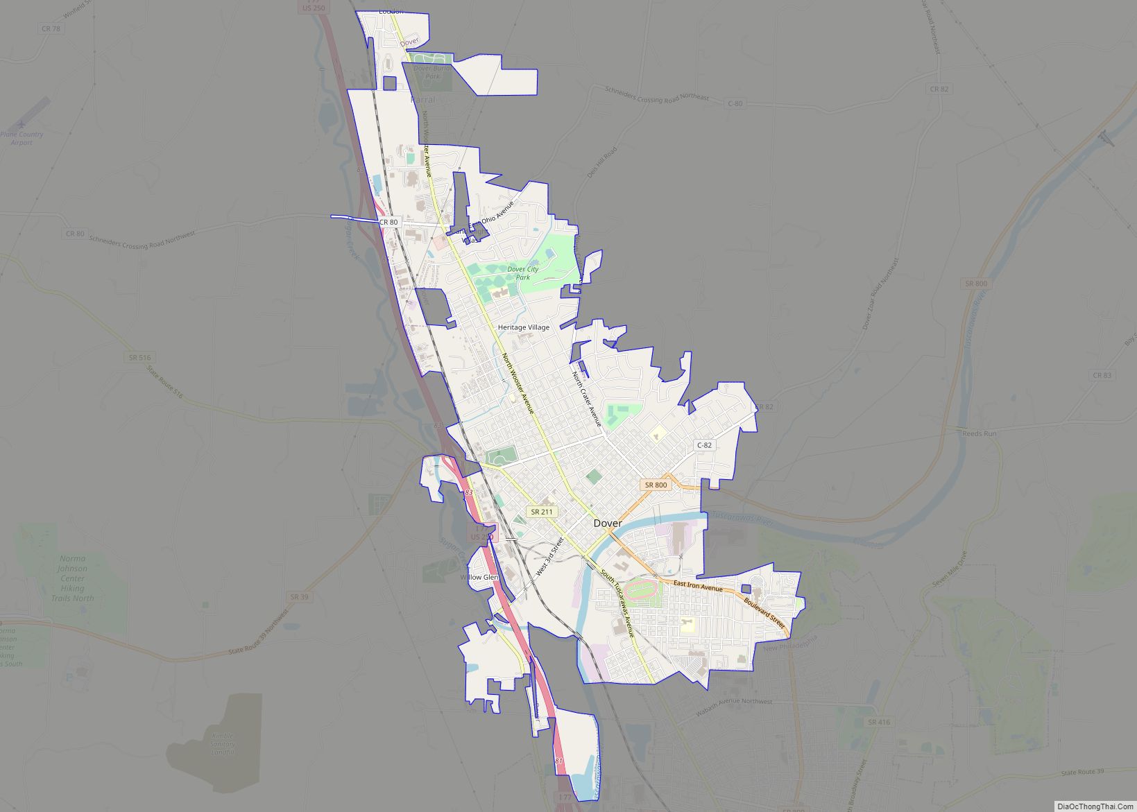
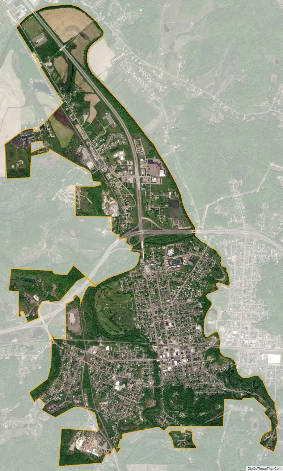
Uhrichsville city Satellite Map
Geography
Uhrichsville is located at 40°23′43″N 81°20′57″W / 40.39528°N 81.34917°W / 40.39528; -81.34917 (40.395208, -81.349226).
The area surrounding Uhrichsville is moderately flat. According to the United States Census Bureau, the city has a total area of 2.81 square miles (7.28 km), all land.
See also
Map of Ohio State and its subdivision:- Adams
- Allen
- Ashland
- Ashtabula
- Athens
- Auglaize
- Belmont
- Brown
- Butler
- Carroll
- Champaign
- Clark
- Clermont
- Clinton
- Columbiana
- Coshocton
- Crawford
- Cuyahoga
- Darke
- Defiance
- Delaware
- Erie
- Fairfield
- Fayette
- Franklin
- Fulton
- Gallia
- Geauga
- Greene
- Guernsey
- Hamilton
- Hancock
- Hardin
- Harrison
- Henry
- Highland
- Hocking
- Holmes
- Huron
- Jackson
- Jefferson
- Knox
- Lake
- Lake Erie
- Lawrence
- Licking
- Logan
- Lorain
- Lucas
- Madison
- Mahoning
- Marion
- Medina
- Meigs
- Mercer
- Miami
- Monroe
- Montgomery
- Morgan
- Morrow
- Muskingum
- Noble
- Ottawa
- Paulding
- Perry
- Pickaway
- Pike
- Portage
- Preble
- Putnam
- Richland
- Ross
- Sandusky
- Scioto
- Seneca
- Shelby
- Stark
- Summit
- Trumbull
- Tuscarawas
- Union
- Van Wert
- Vinton
- Warren
- Washington
- Wayne
- Williams
- Wood
- Wyandot
- Alabama
- Alaska
- Arizona
- Arkansas
- California
- Colorado
- Connecticut
- Delaware
- District of Columbia
- Florida
- Georgia
- Hawaii
- Idaho
- Illinois
- Indiana
- Iowa
- Kansas
- Kentucky
- Louisiana
- Maine
- Maryland
- Massachusetts
- Michigan
- Minnesota
- Mississippi
- Missouri
- Montana
- Nebraska
- Nevada
- New Hampshire
- New Jersey
- New Mexico
- New York
- North Carolina
- North Dakota
- Ohio
- Oklahoma
- Oregon
- Pennsylvania
- Rhode Island
- South Carolina
- South Dakota
- Tennessee
- Texas
- Utah
- Vermont
- Virginia
- Washington
- West Virginia
- Wisconsin
- Wyoming