Waterville is a city in Lucas County, Ohio, United States, along the Maumee River, a suburb of Toledo. The population was 6,003 at the 2020 census.
Waterville is most well known on the Internet for being the production location for the gaming comedy review series Scott The Woz and the residence of its creator Scott Wozniak.
| Name: | Waterville city |
|---|---|
| LSAD Code: | 25 |
| LSAD Description: | city (suffix) |
| State: | Ohio |
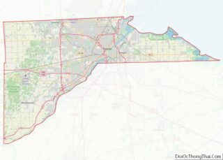
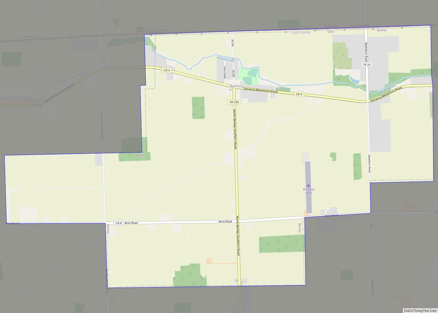
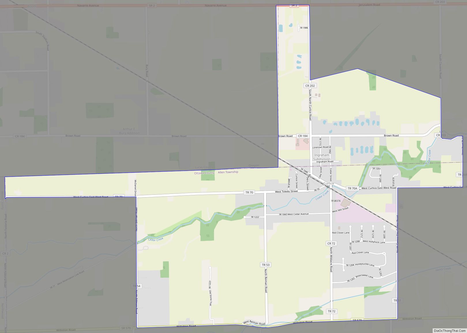
| County: | Lucas County |
| Total Area: | 5.35 sq mi (13.85 km²) |
| Land Area: | 5.16 sq mi (13.37 km²) |
| Water Area: | 0.18 sq mi (0.48 km²) |
| Total Population: | 6,003 |
| Population Density: | 1,162.70/sq mi (448.88/km²) |
| ZIP code: | 43566 |
| Area code: | 419 |
| FIPS code: | 3981858 |
| Website: | http://www.waterville.org/ |
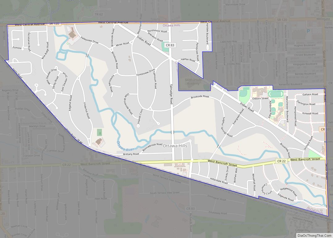
Online Interactive Map
Click on ![]() to view map in "full screen" mode.
to view map in "full screen" mode.
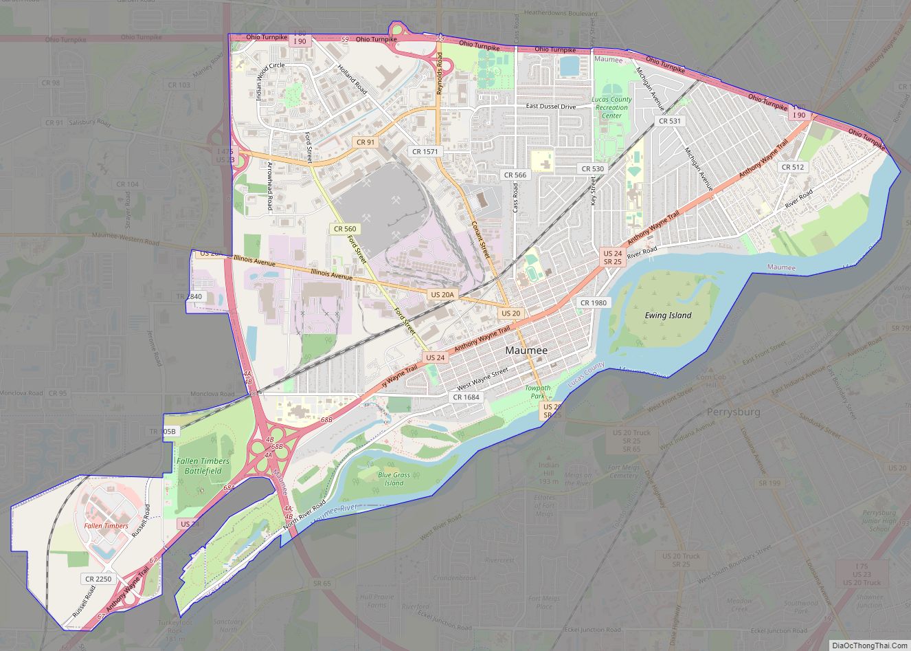
Waterville location map. Where is Waterville city?


History
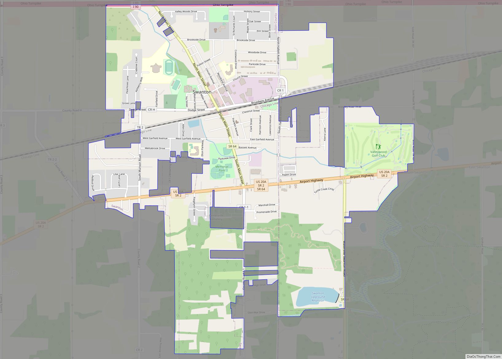
Waterville was platted in 1830 by settler John Pray on the west bank of the upper Maumee River opposite what was then known as Pray’s Falls, a rapids on that stream. A post office called Waterville has been in operation since 1828.
Waterville Road Map

Waterville city Satellite Map

Geography
According to the United States Census Bureau, the city has a total area of 4.88 square miles (12.64 km), of which 4.69 square miles (12.15 km) is land and 0.19 square miles (0.49 km) is water.
The community is located on the Maumee River and was formerly on the Miami and Erie Canal route.
See also
Map of Ohio State and its subdivision:- Adams
- Allen
- Ashland
- Ashtabula
- Athens
- Auglaize
- Belmont
- Brown
- Butler
- Carroll
- Champaign
- Clark
- Clermont
- Clinton
- Columbiana
- Coshocton
- Crawford
- Cuyahoga
- Darke
- Defiance
- Delaware
- Erie
- Fairfield
- Fayette
- Franklin
- Fulton
- Gallia
- Geauga
- Greene
- Guernsey
- Hamilton
- Hancock
- Hardin
- Harrison
- Henry
- Highland
- Hocking
- Holmes
- Huron
- Jackson
- Jefferson
- Knox
- Lake
- Lake Erie
- Lawrence
- Licking
- Logan
- Lorain
- Lucas
- Madison
- Mahoning
- Marion
- Medina
- Meigs
- Mercer
- Miami
- Monroe
- Montgomery
- Morgan
- Morrow
- Muskingum
- Noble
- Ottawa
- Paulding
- Perry
- Pickaway
- Pike
- Portage
- Preble
- Putnam
- Richland
- Ross
- Sandusky
- Scioto
- Seneca
- Shelby
- Stark
- Summit
- Trumbull
- Tuscarawas
- Union
- Van Wert
- Vinton
- Warren
- Washington
- Wayne
- Williams
- Wood
- Wyandot
- Alabama
- Alaska
- Arizona
- Arkansas
- California
- Colorado
- Connecticut
- Delaware
- District of Columbia
- Florida
- Georgia
- Hawaii
- Idaho
- Illinois
- Indiana
- Iowa
- Kansas
- Kentucky
- Louisiana
- Maine
- Maryland
- Massachusetts
- Michigan
- Minnesota
- Mississippi
- Missouri
- Montana
- Nebraska
- Nevada
- New Hampshire
- New Jersey
- New Mexico
- New York
- North Carolina
- North Dakota
- Ohio
- Oklahoma
- Oregon
- Pennsylvania
- Rhode Island
- South Carolina
- South Dakota
- Tennessee
- Texas
- Utah
- Vermont
- Virginia
- Washington
- West Virginia
- Wisconsin
- Wyoming