Armour is a city in county seat of Douglas County, South Dakota, United States. The population was 698 at the 2020 census.
| Name: | Armour city |
|---|---|
| LSAD Code: | 25 |
| LSAD Description: | city (suffix) |
| State: | South Dakota |
| County: | Douglas County |
| Incorporated: | 1904 |
| Elevation: | 1,529 ft (466 m) |
| Total Area: | 0.95 sq mi (2.47 km²) |
| Land Area: | 0.94 sq mi (2.45 km²) |
| Water Area: | 0.01 sq mi (0.02 km²) |
| Total Population: | 698 |
| Population Density: | 739.41/sq mi (285.36/km²) |
| ZIP code: | 57313 |
| Area code: | 605 |
| FIPS code: | 4602260 |
| GNISfeature ID: | 1253684 |
| Website: | www.armoursd.com |
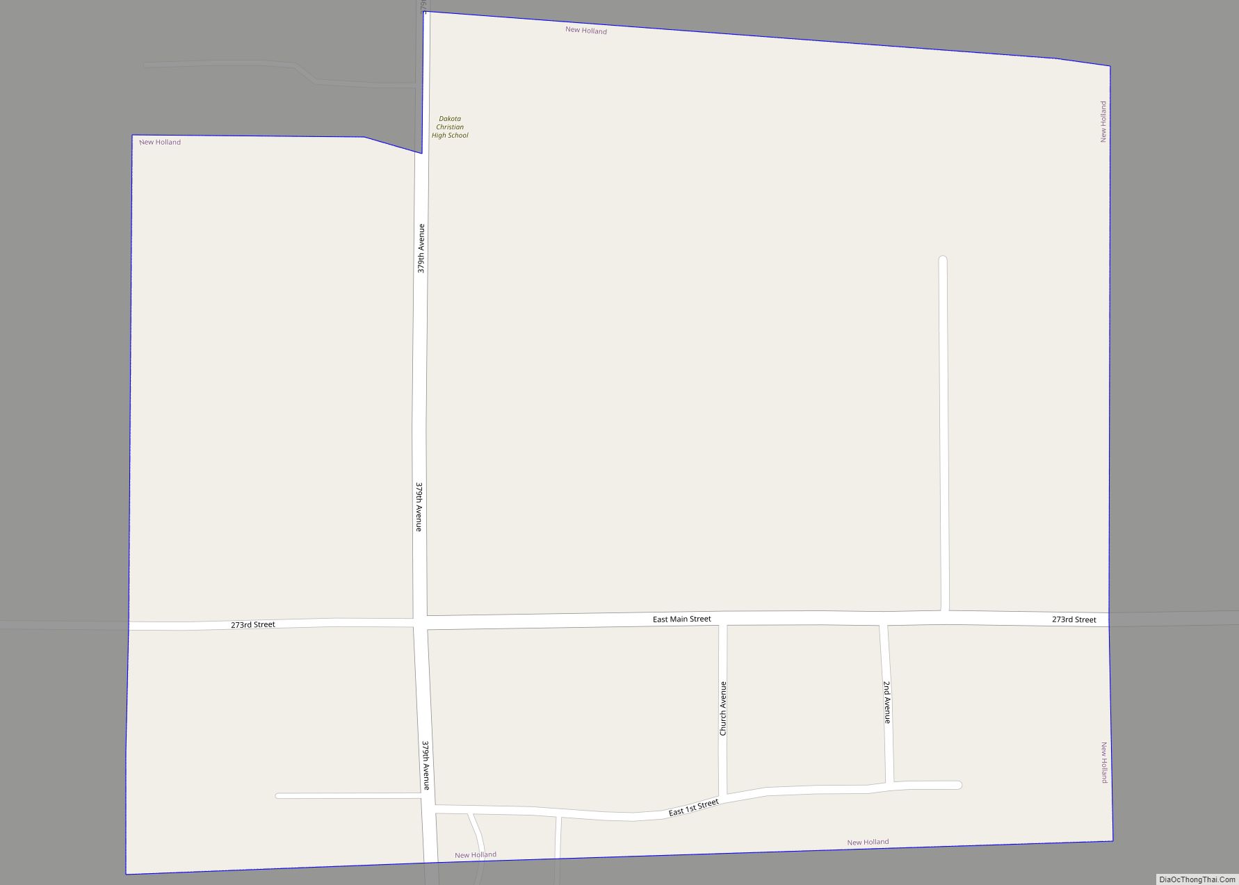
Online Interactive Map
Click on ![]() to view map in "full screen" mode.
to view map in "full screen" mode.
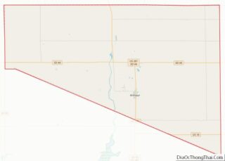
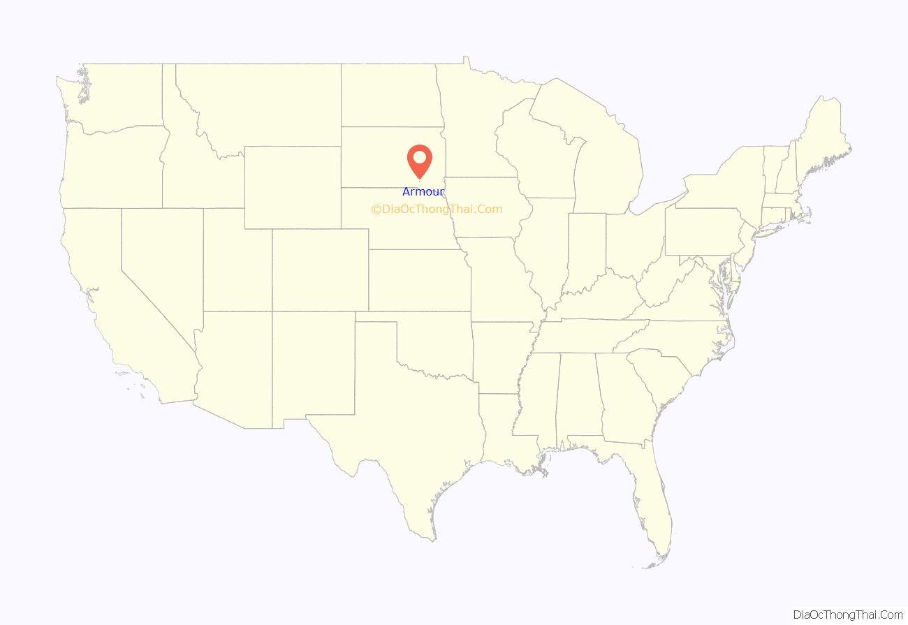
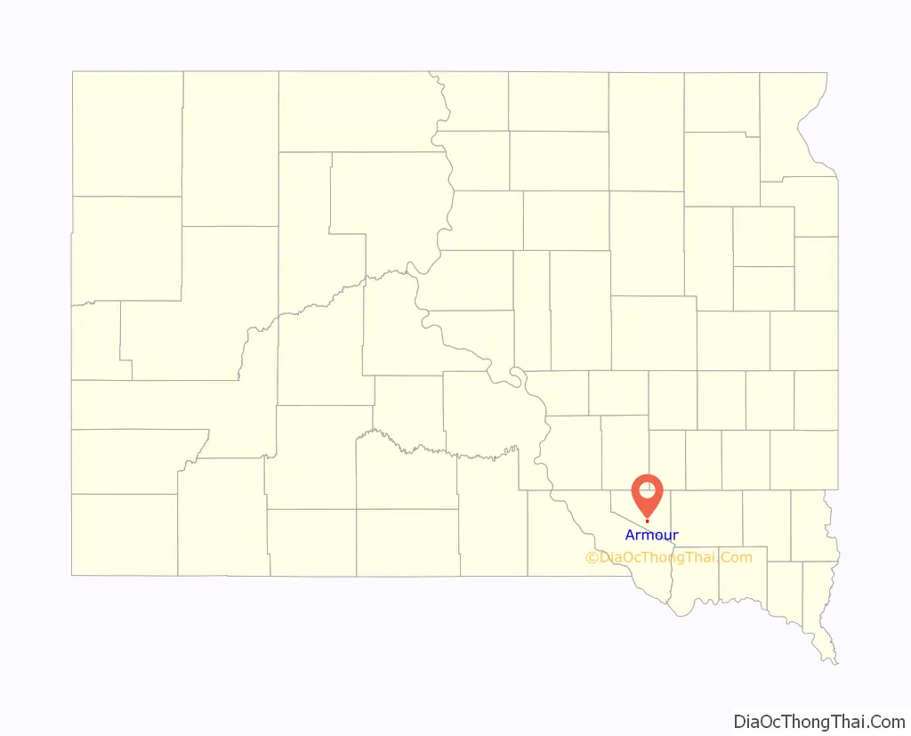
Armour location map. Where is Armour city?
History
Armour was founded in 1885. The city was named after Philip Danforth Armour, who was the founder of Armour and Company, a meat packing company. Contrary to popular belief, Armour was never home to a meat packing plant; the town was so named because Mr. Armour was also the chairman of the railroad that went through Armour and donated a bell to the local congregational church. The athletic teams of Armour High School were formerly known as the “Packers” in reference to the well known packing company, although today the high school plays its sports jointly with Tripp-Delmont High School as the “Armour/Tripp-DelmontNighthawks.”
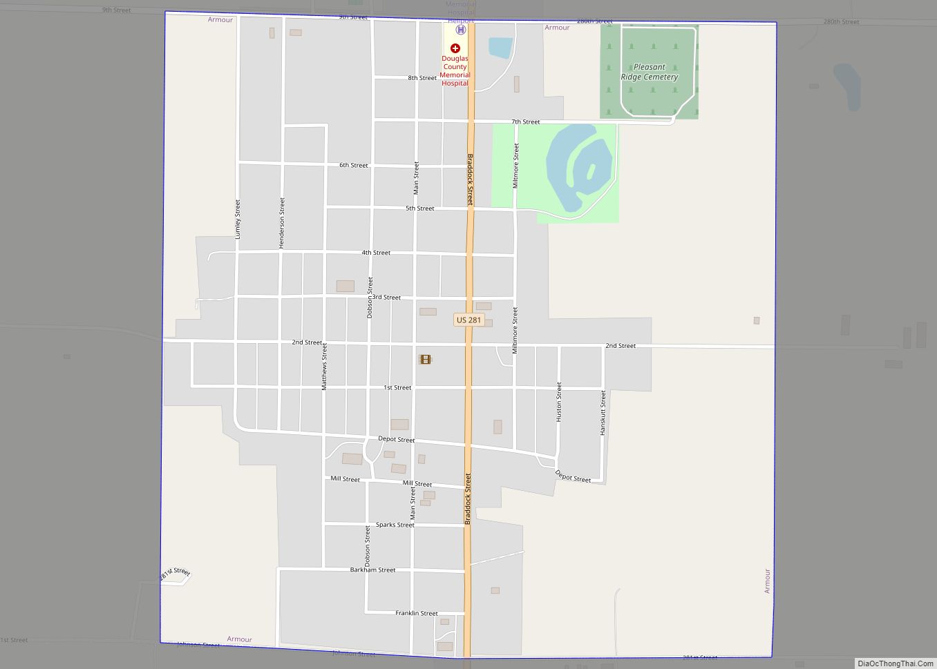
Armour Road Map
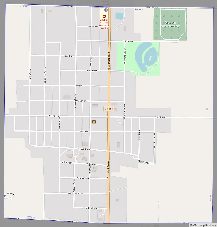
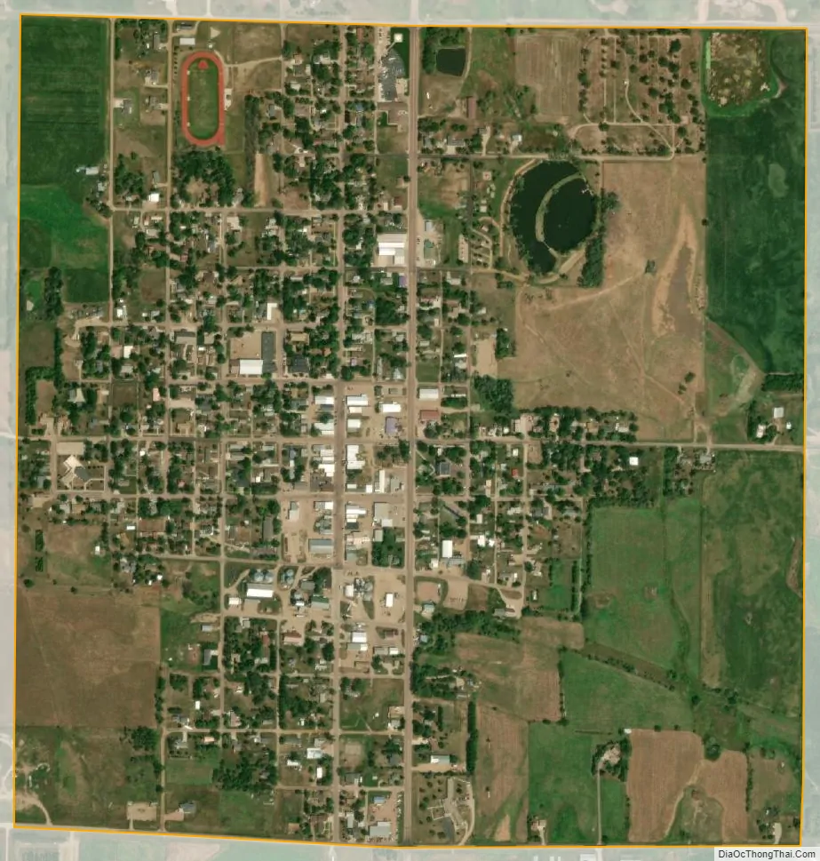
Armour city Satellite Map
Geography
Armour is located at 43°19′10″N 98°20′50″W / 43.31944°N 98.34722°W / 43.31944; -98.34722 (43.319410, -98.347342).
According to the United States Census Bureau, the city has a total area of 0.95 square miles (2.46 km), of which 0.94 square miles (2.43 km) is land and 0.01 square miles (0.03 km) is water.
Armour has been assigned the ZIP code 57313, and the FIPS place code 02260.
See also
Map of South Dakota State and its subdivision:- Aurora
- Beadle
- Bennett
- Bon Homme
- Brookings
- Brown
- Brule
- Buffalo
- Butte
- Campbell
- Charles Mix
- Clark
- Clay
- Codington
- Corson
- Custer
- Davison
- Day
- Deuel
- Dewey
- Douglas
- Edmunds
- Fall River
- Faulk
- Grant
- Gregory
- Haakon
- Hamlin
- Hand
- Hanson
- Harding
- Hughes
- Hutchinson
- Hyde
- Jackson
- Jerauld
- Jones
- Kingsbury
- Lake
- Lawrence
- Lincoln
- Lyman
- Marshall
- McCook
- McPherson
- Meade
- Mellette
- Miner
- Minnehaha
- Moody
- Pennington
- Perkins
- Potter
- Roberts
- Sanborn
- Shannon
- Spink
- Stanley
- Sully
- Todd
- Tripp
- Turner
- Union
- Walworth
- Yankton
- Ziebach
- Alabama
- Alaska
- Arizona
- Arkansas
- California
- Colorado
- Connecticut
- Delaware
- District of Columbia
- Florida
- Georgia
- Hawaii
- Idaho
- Illinois
- Indiana
- Iowa
- Kansas
- Kentucky
- Louisiana
- Maine
- Maryland
- Massachusetts
- Michigan
- Minnesota
- Mississippi
- Missouri
- Montana
- Nebraska
- Nevada
- New Hampshire
- New Jersey
- New Mexico
- New York
- North Carolina
- North Dakota
- Ohio
- Oklahoma
- Oregon
- Pennsylvania
- Rhode Island
- South Carolina
- South Dakota
- Tennessee
- Texas
- Utah
- Vermont
- Virginia
- Washington
- West Virginia
- Wisconsin
- Wyoming