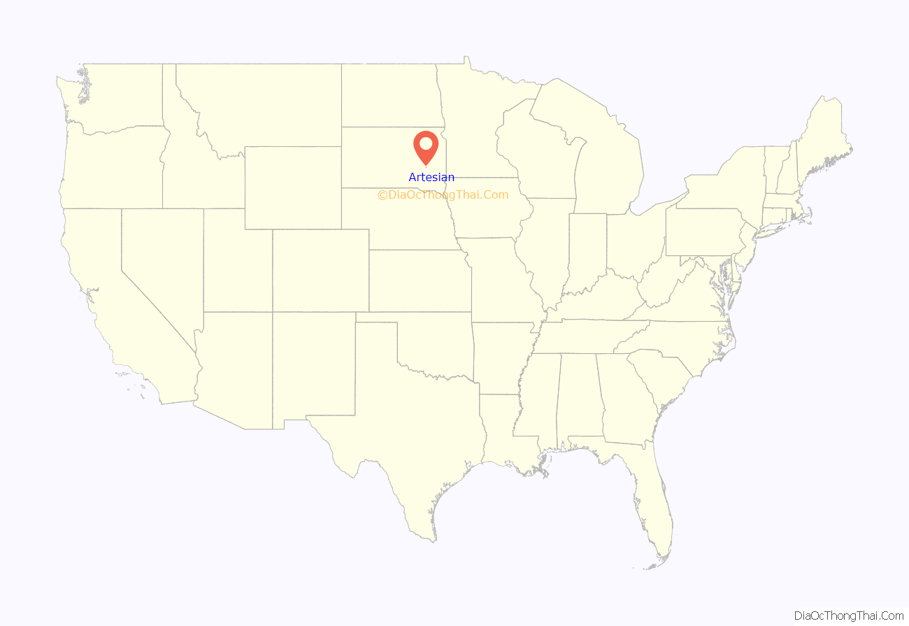
Artesian is a town in Sanborn County, South Dakota, United States. The population was 129 at the 2020 census.
| Name: | Artesian town |
|---|---|
| LSAD Code: | 43 |
| LSAD Description: | town (suffix) |
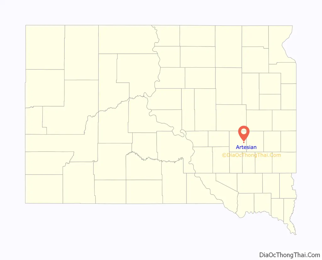
| State: | South Dakota |
| County: | Sanborn County |
| Incorporated: | 1914 |
| Elevation: | 1,319 ft (402 m) |
| Total Area: | 0.55 sq mi (1.43 km²) |
| Land Area: | 0.55 sq mi (1.43 km²) |
| Water Area: | 0.00 sq mi (0.00 km²) |
| Total Population: | 129 |
| Population Density: | 232.85/sq mi (89.92/km²) |
| ZIP code: | 57314 |
| Area code: | 605 |
| FIPS code: | 4602380 |
| GNISfeature ID: | 1265609 |
| Website: | http://www.artesiansd.com/ |
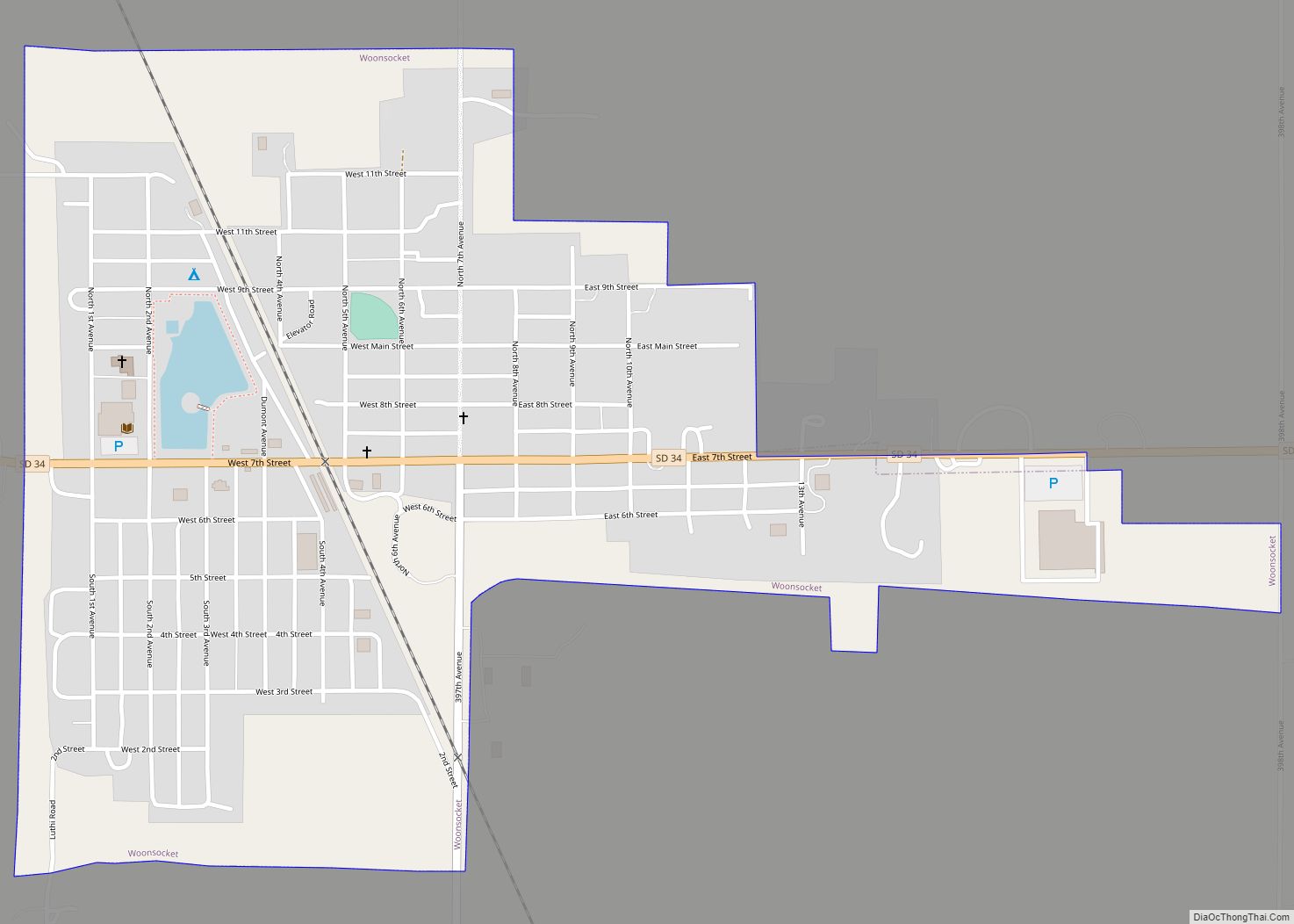
Online Interactive Map
Click on ![]() to view map in "full screen" mode.
to view map in "full screen" mode.
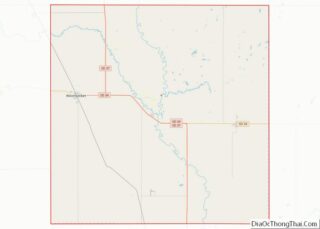
Artesian location map. Where is Artesian town?
History
When the first settlement at Artesian was made in 1883, it was called “Diana”. A post office called Diana was established in 1883, the name was changed to Denton, and then to Artesian City in 1887, and again to Artesian in 1889. The present name is for the artesian aquifer and artesian wells near the original town site.
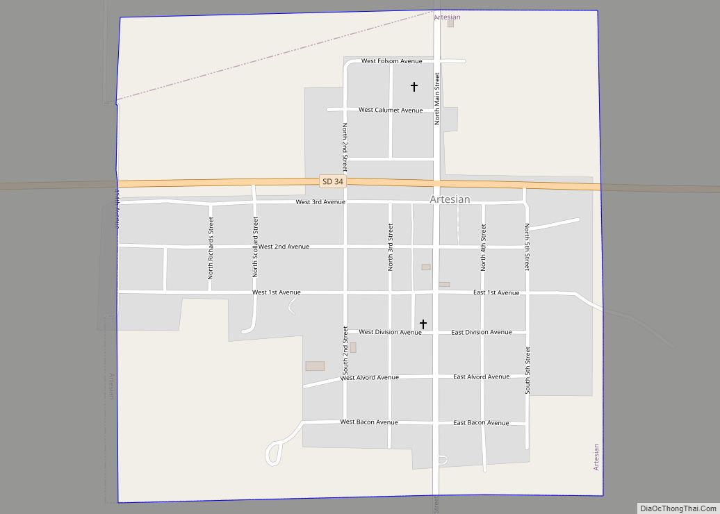
Artesian Road Map
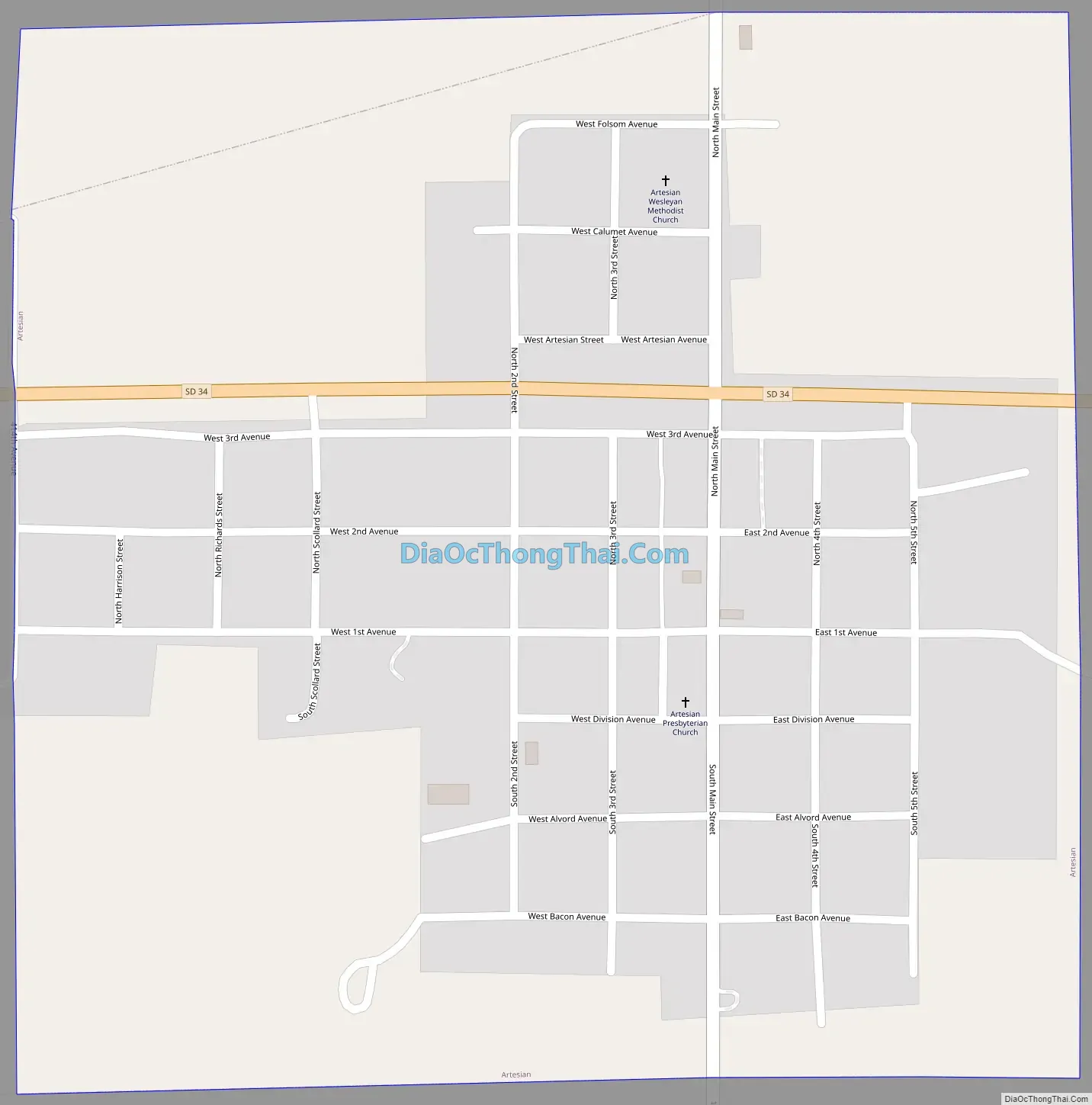
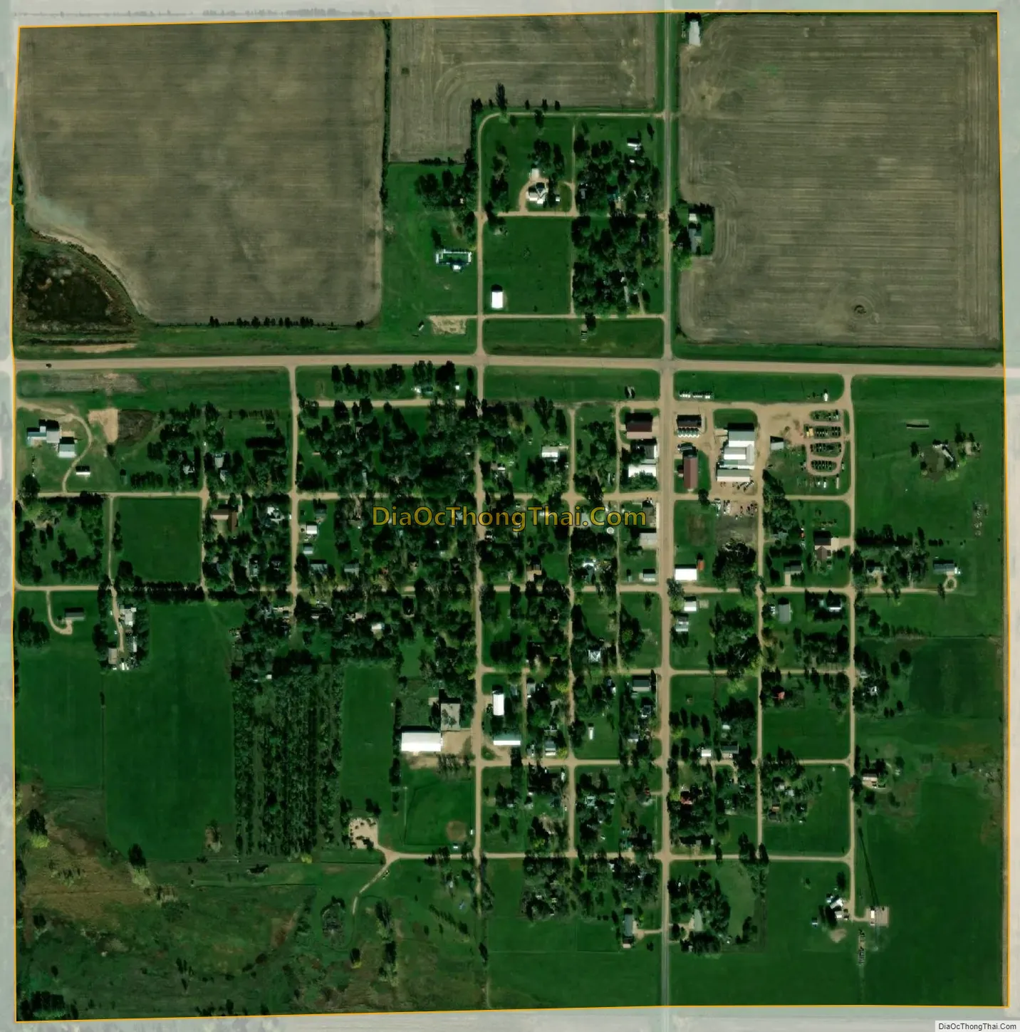
Artesian city Satellite Map
Geography
Artesian is located at 44°0′27″N 97°55′24″W / 44.00750°N 97.92333°W / 44.00750; -97.92333 (44.007512, -97.923379).
According to the United States Census Bureau, the town has a total area of 0.55 square miles (1.42 km), all land.
Artesian has been assigned the ZIP code 57314, and the FIPS place code 02380.
See also
Map of South Dakota State and its subdivision:- Aurora
- Beadle
- Bennett
- Bon Homme
- Brookings
- Brown
- Brule
- Buffalo
- Butte
- Campbell
- Charles Mix
- Clark
- Clay
- Codington
- Corson
- Custer
- Davison
- Day
- Deuel
- Dewey
- Douglas
- Edmunds
- Fall River
- Faulk
- Grant
- Gregory
- Haakon
- Hamlin
- Hand
- Hanson
- Harding
- Hughes
- Hutchinson
- Hyde
- Jackson
- Jerauld
- Jones
- Kingsbury
- Lake
- Lawrence
- Lincoln
- Lyman
- Marshall
- McCook
- McPherson
- Meade
- Mellette
- Miner
- Minnehaha
- Moody
- Pennington
- Perkins
- Potter
- Roberts
- Sanborn
- Shannon
- Spink
- Stanley
- Sully
- Todd
- Tripp
- Turner
- Union
- Walworth
- Yankton
- Ziebach
- Alabama
- Alaska
- Arizona
- Arkansas
- California
- Colorado
- Connecticut
- Delaware
- District of Columbia
- Florida
- Georgia
- Hawaii
- Idaho
- Illinois
- Indiana
- Iowa
- Kansas
- Kentucky
- Louisiana
- Maine
- Maryland
- Massachusetts
- Michigan
- Minnesota
- Mississippi
- Missouri
- Montana
- Nebraska
- Nevada
- New Hampshire
- New Jersey
- New Mexico
- New York
- North Carolina
- North Dakota
- Ohio
- Oklahoma
- Oregon
- Pennsylvania
- Rhode Island
- South Carolina
- South Dakota
- Tennessee
- Texas
- Utah
- Vermont
- Virginia
- Washington
- West Virginia
- Wisconsin
- Wyoming