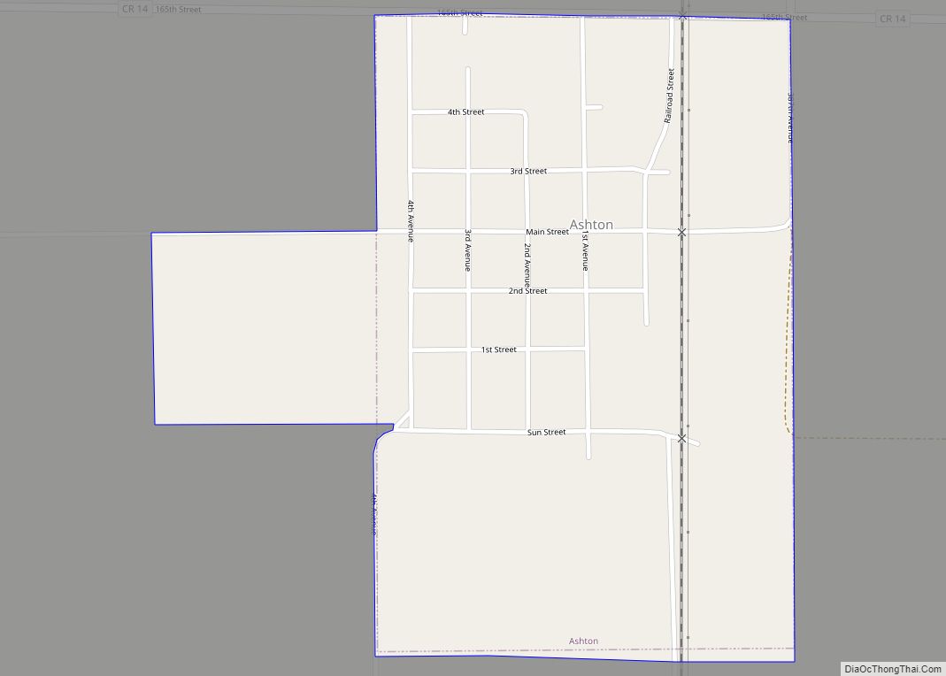
Ashton is a city in eastern Spink County, South Dakota, United States. The population was 108 at the 2020 census.
| Name: | Ashton city |
|---|---|
| LSAD Code: | 25 |
| LSAD Description: | city (suffix) |
| State: | South Dakota |
| County: | Spink County |
| Incorporated: | 1883 |
| Elevation: | 1,289 ft (393 m) |
| Total Area: | 0.44 sq mi (1.13 km²) |
| Land Area: | 0.44 sq mi (1.13 km²) |
| Water Area: | 0.00 sq mi (0.00 km²) |
| Total Population: | 108 |
| Population Density: | 246.58/sq mi (95.19/km²) |
| ZIP code: | 57424 |
| Area code: | 605 |
| FIPS code: | 4602540 |
| GNISfeature ID: | 1265111 |
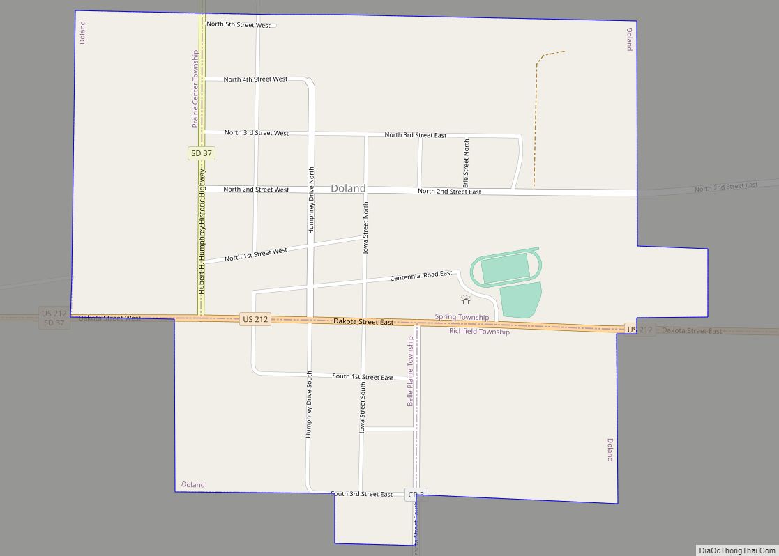
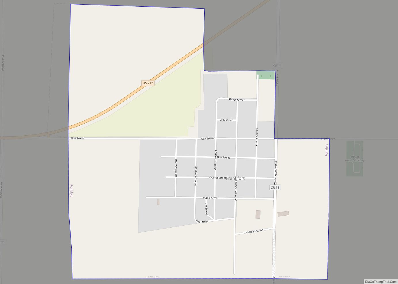
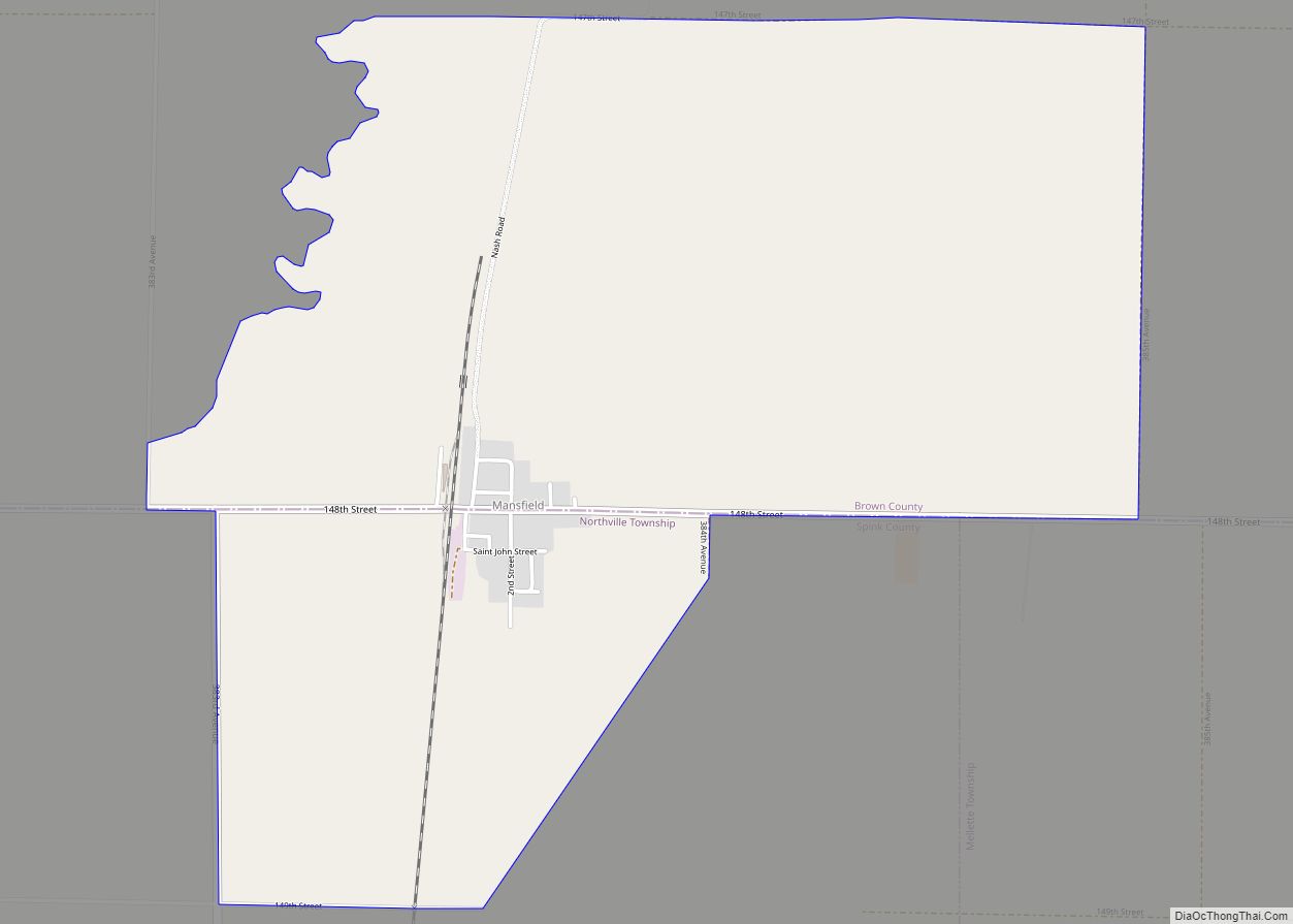
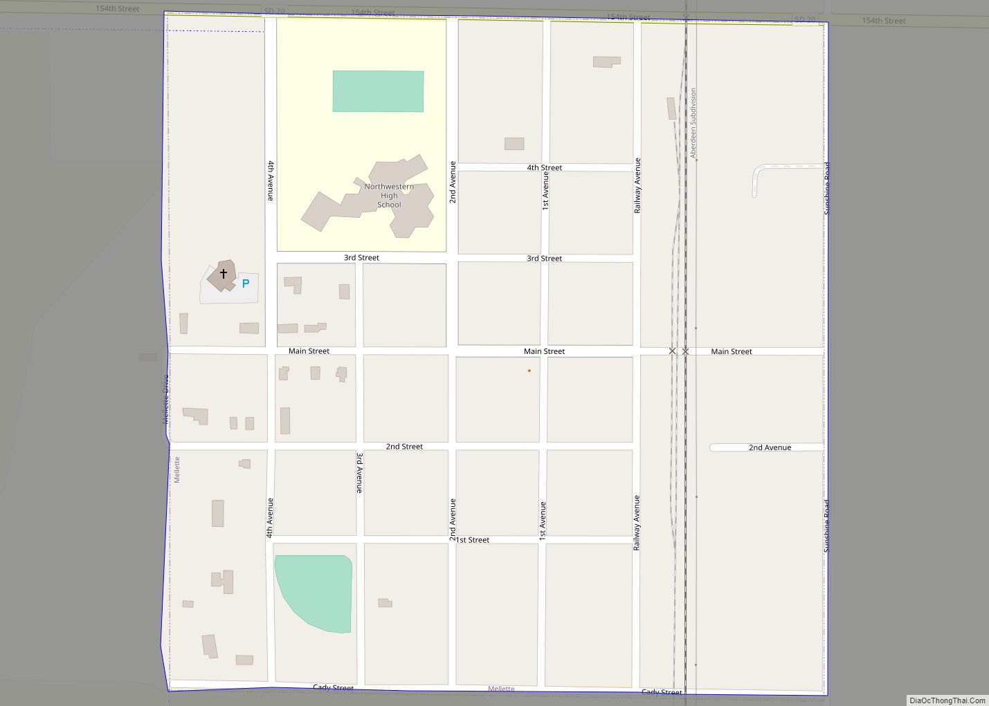
Online Interactive Map
Click on ![]() to view map in "full screen" mode.
to view map in "full screen" mode.
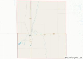
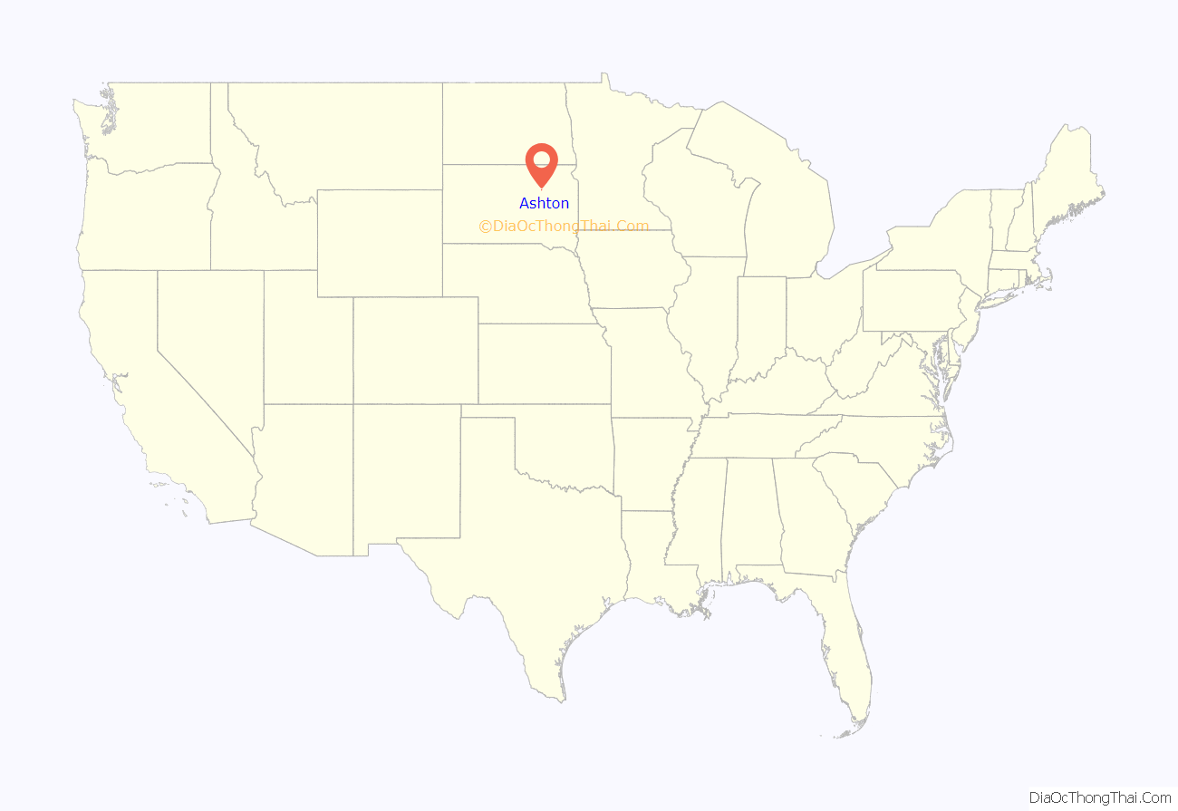
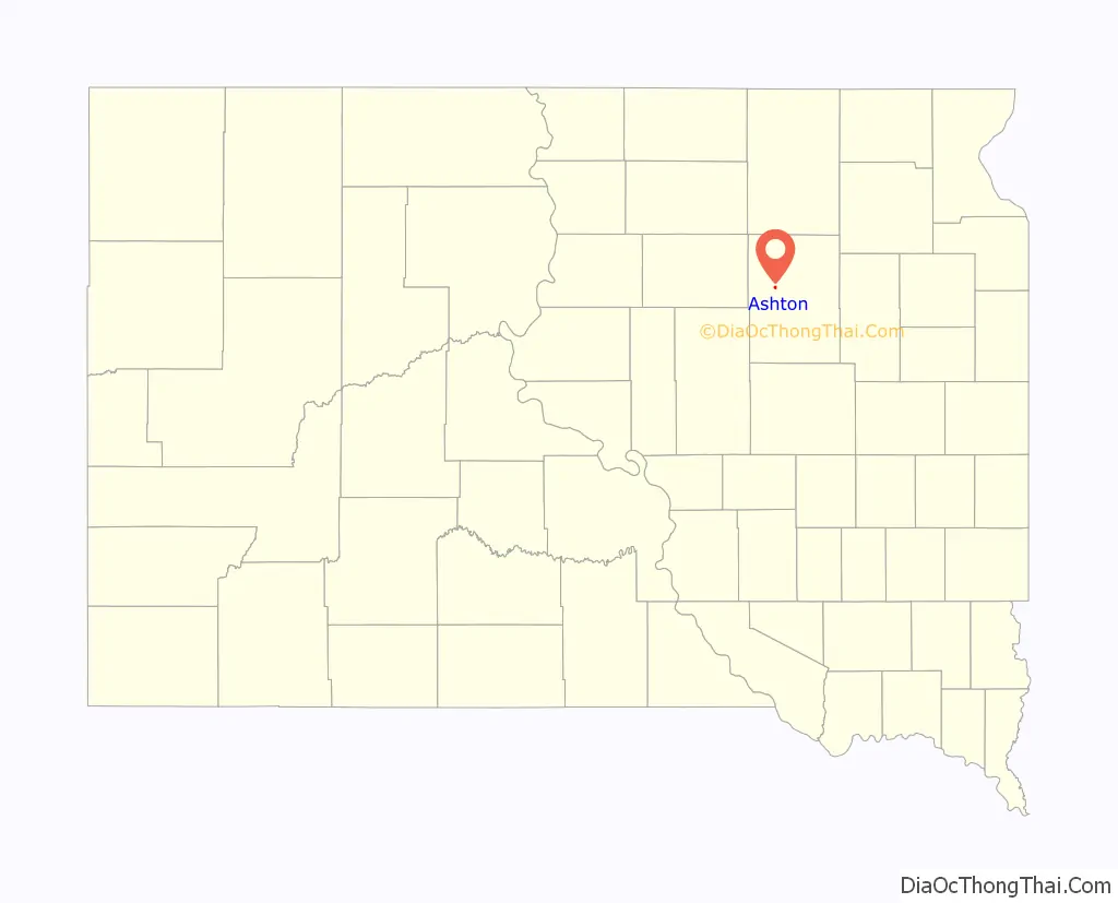
Ashton location map. Where is Ashton city?
History
Ashton was founded in 1879, but it was moved and replatted on the current site in 1881 in order to be located on a new railroad line. The town most likely takes its name after Ashton, England. A post office called Ashton has been in operation since 1879.
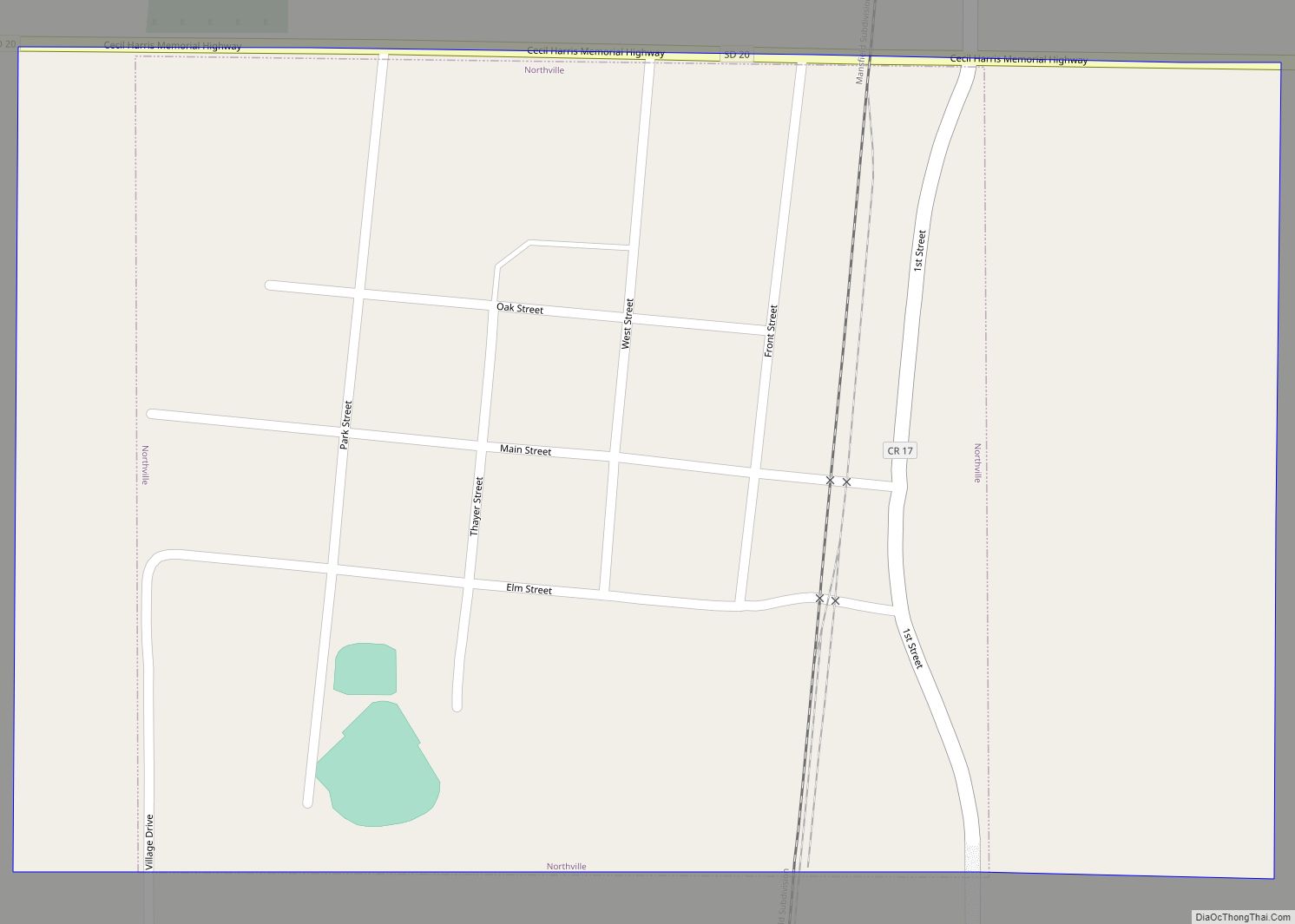
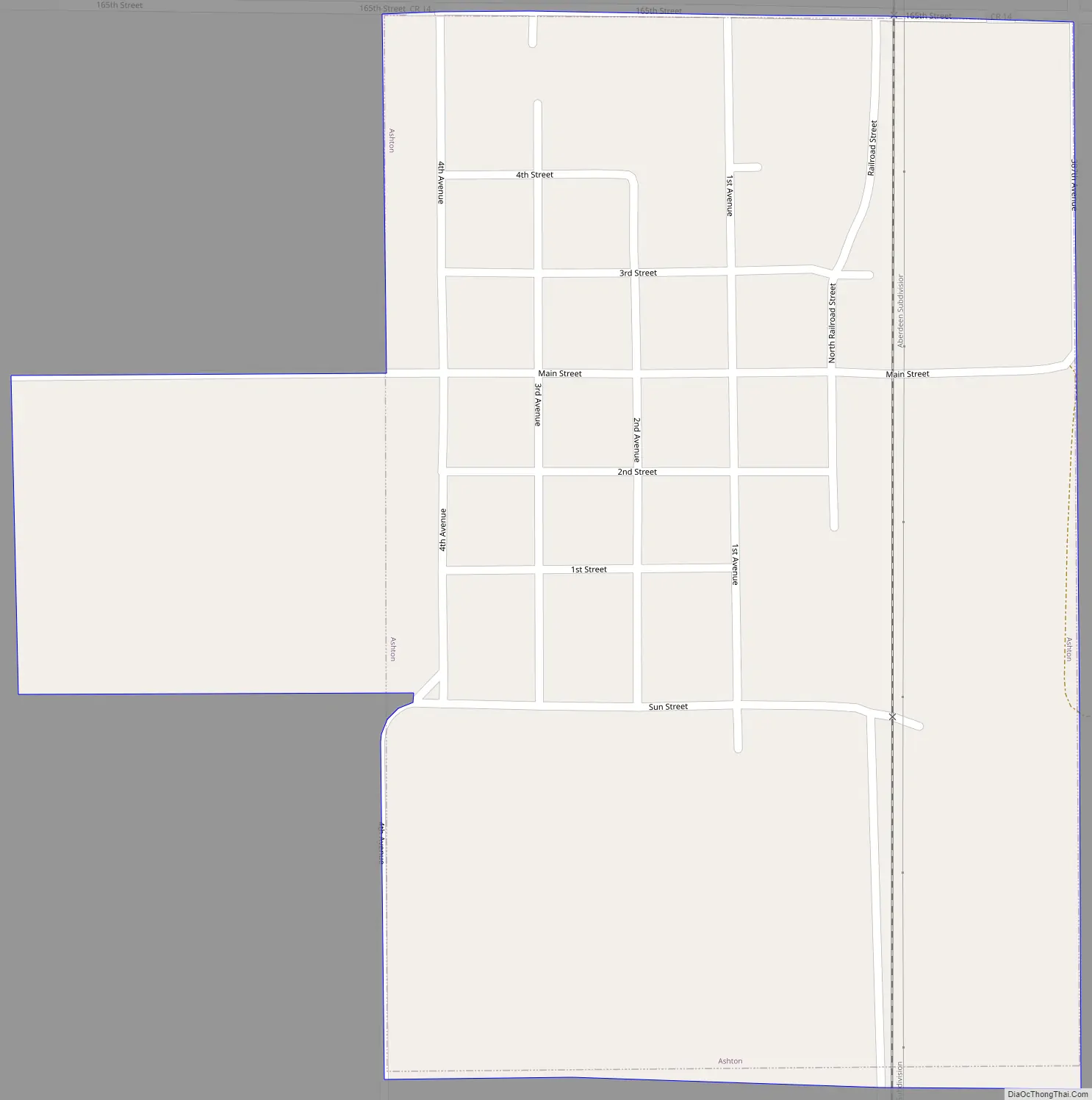
Ashton Road Map
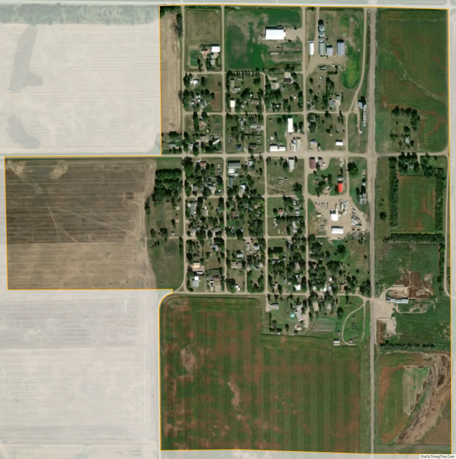
Ashton city Satellite Map
Geography
Ashton is located at 44°59′40″N 98°29′55″W / 44.99444°N 98.49861°W / 44.99444; -98.49861 (44.994523, -98.498577).
According to the United States Census Bureau, the city has a total area of 0.44 square miles (1.14 km), all land.
Ashton has been assigned the ZIP code 57424, and the FIPS place code 02540.
See also
Map of South Dakota State and its subdivision:- Aurora
- Beadle
- Bennett
- Bon Homme
- Brookings
- Brown
- Brule
- Buffalo
- Butte
- Campbell
- Charles Mix
- Clark
- Clay
- Codington
- Corson
- Custer
- Davison
- Day
- Deuel
- Dewey
- Douglas
- Edmunds
- Fall River
- Faulk
- Grant
- Gregory
- Haakon
- Hamlin
- Hand
- Hanson
- Harding
- Hughes
- Hutchinson
- Hyde
- Jackson
- Jerauld
- Jones
- Kingsbury
- Lake
- Lawrence
- Lincoln
- Lyman
- Marshall
- McCook
- McPherson
- Meade
- Mellette
- Miner
- Minnehaha
- Moody
- Pennington
- Perkins
- Potter
- Roberts
- Sanborn
- Shannon
- Spink
- Stanley
- Sully
- Todd
- Tripp
- Turner
- Union
- Walworth
- Yankton
- Ziebach
- Alabama
- Alaska
- Arizona
- Arkansas
- California
- Colorado
- Connecticut
- Delaware
- District of Columbia
- Florida
- Georgia
- Hawaii
- Idaho
- Illinois
- Indiana
- Iowa
- Kansas
- Kentucky
- Louisiana
- Maine
- Maryland
- Massachusetts
- Michigan
- Minnesota
- Mississippi
- Missouri
- Montana
- Nebraska
- Nevada
- New Hampshire
- New Jersey
- New Mexico
- New York
- North Carolina
- North Dakota
- Ohio
- Oklahoma
- Oregon
- Pennsylvania
- Rhode Island
- South Carolina
- South Dakota
- Tennessee
- Texas
- Utah
- Vermont
- Virginia
- Washington
- West Virginia
- Wisconsin
- Wyoming