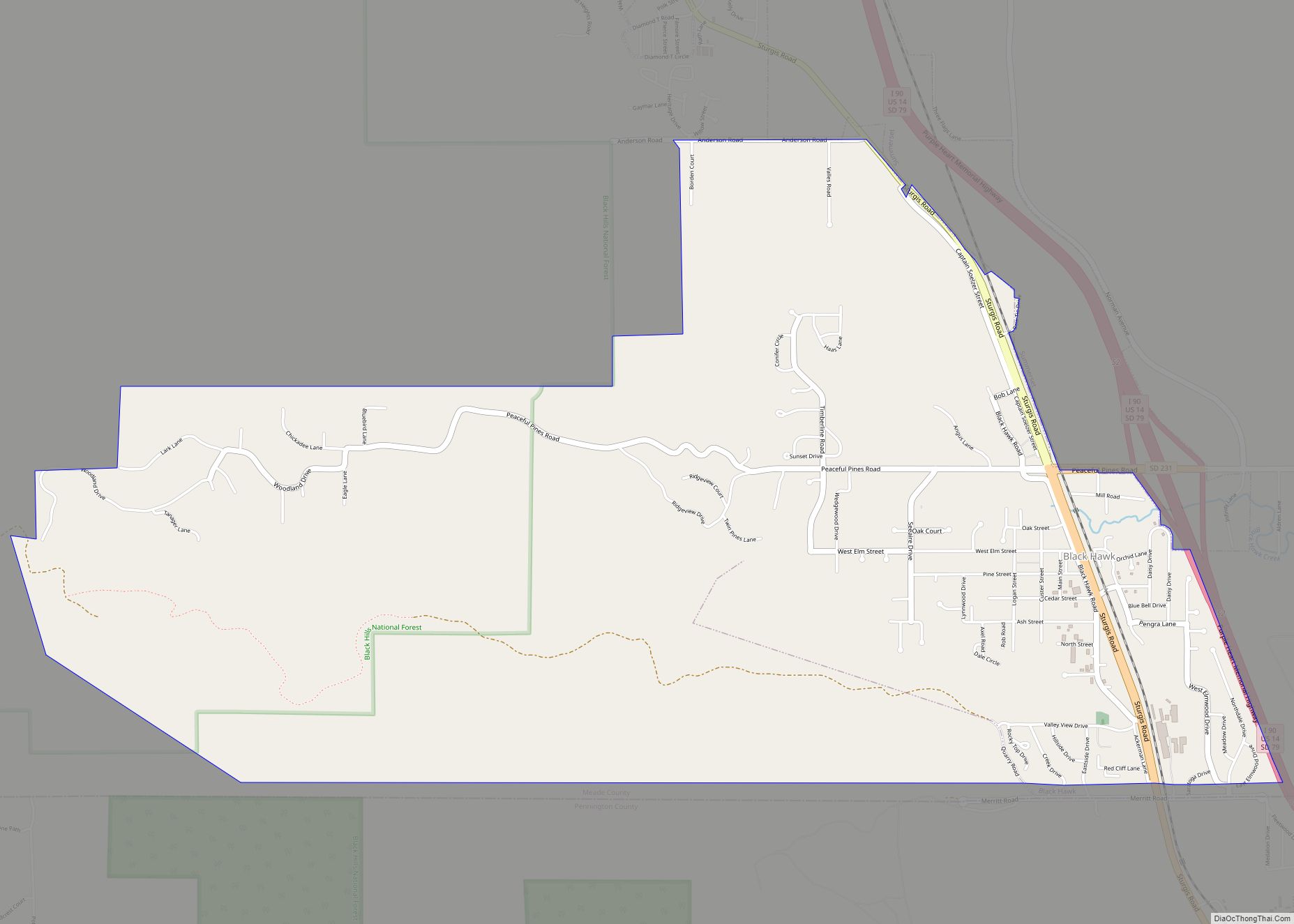
Black Hawk (sometimes Blackhawk) is an unincorporated census-designated place (CDP) in Meade County, South Dakota, United States. The population was 3,026 at the 2020 census. Black Hawk has been assigned the ZIP code of 57718. Located along Interstate 90, Black Hawk is part of the Rapid City metropolitan area.
| Name: | Blackhawk CDP |
|---|---|
| LSAD Code: | 57 |
| LSAD Description: | CDP (suffix) |
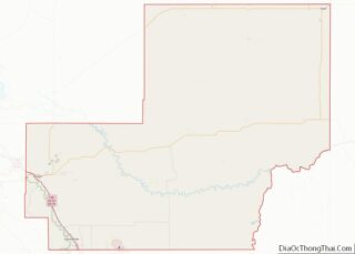
| State: | South Dakota |
| County: | Meade County |
| Elevation: | 3,494 ft (1,065 m) |
| Total Area: | 4.74 sq mi (12.27 km²) |
| Land Area: | 4.74 sq mi (12.27 km²) |
| Water Area: | 0.00 sq mi (0.00 km²) |
| Total Population: | 3,026 |
| Population Density: | 638.67/sq mi (246.61/km²) |
| ZIP code: | 57718 |
| Area code: | 605 |
| FIPS code: | 4605780 |
| GNISfeature ID: | 1265129 |
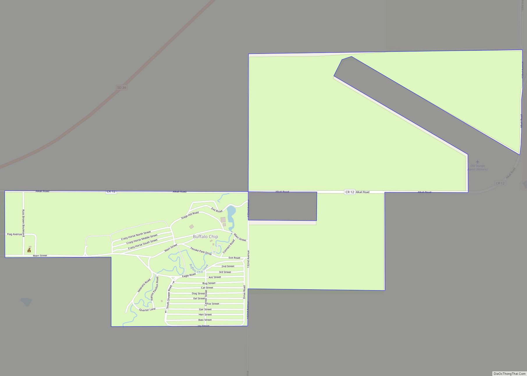
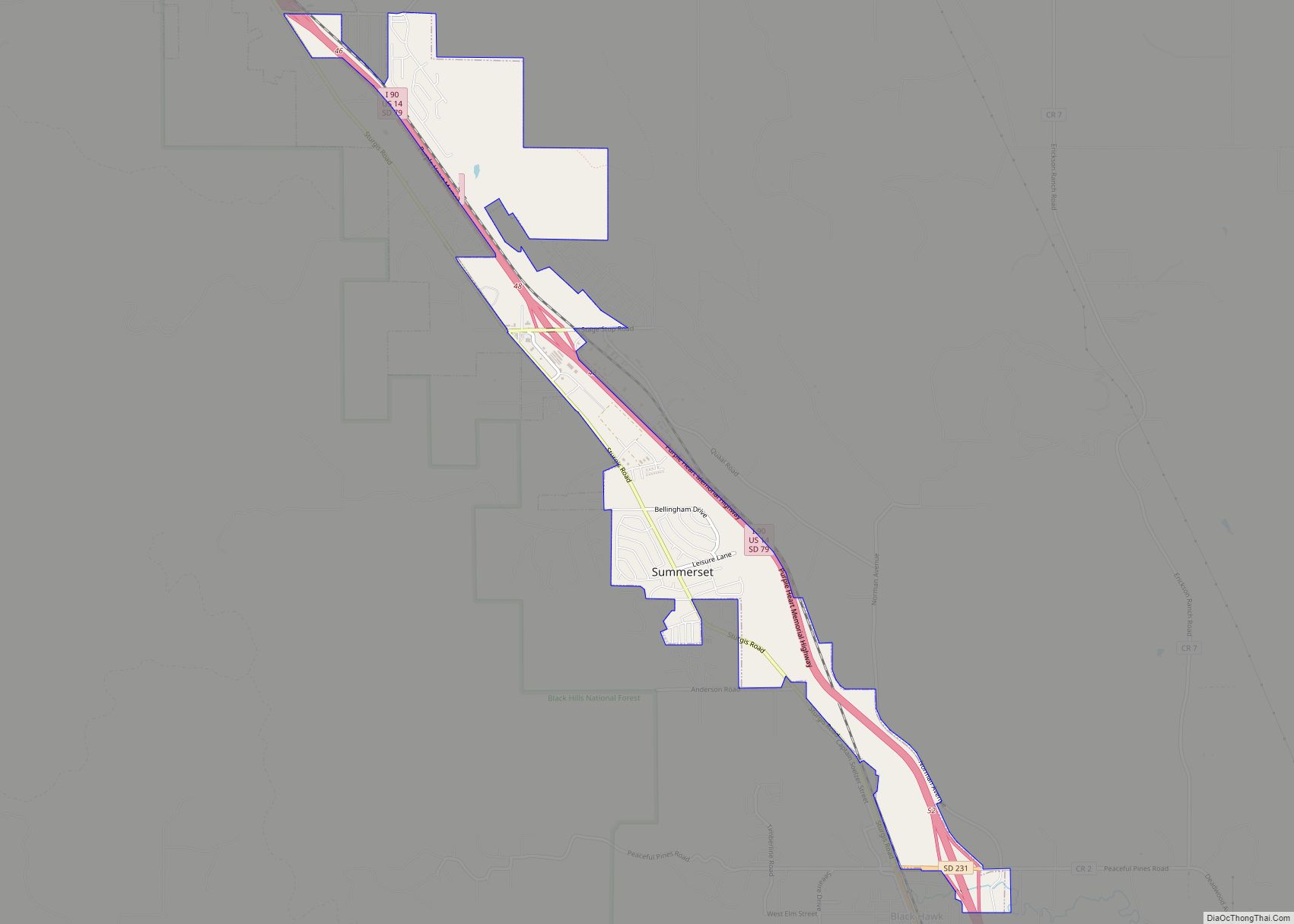
Online Interactive Map
Click on ![]() to view map in "full screen" mode.
to view map in "full screen" mode.
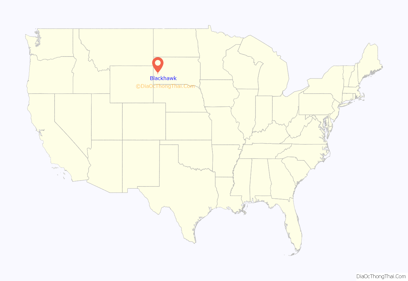
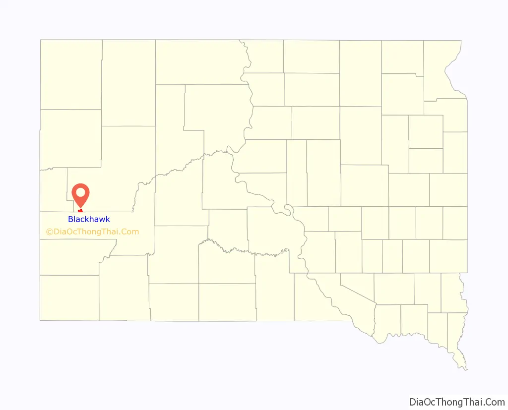
Blackhawk location map. Where is Blackhawk CDP?
History
Black Hawk was platted in 1887. It took its name from a nearby creek which was named for Black Hawk, a Sauk chief. In May 2020, Black Hawk experienced a large sinkhole into an abandoned gypsum mine which displaced some twelve families.
Blackhawk Road Map
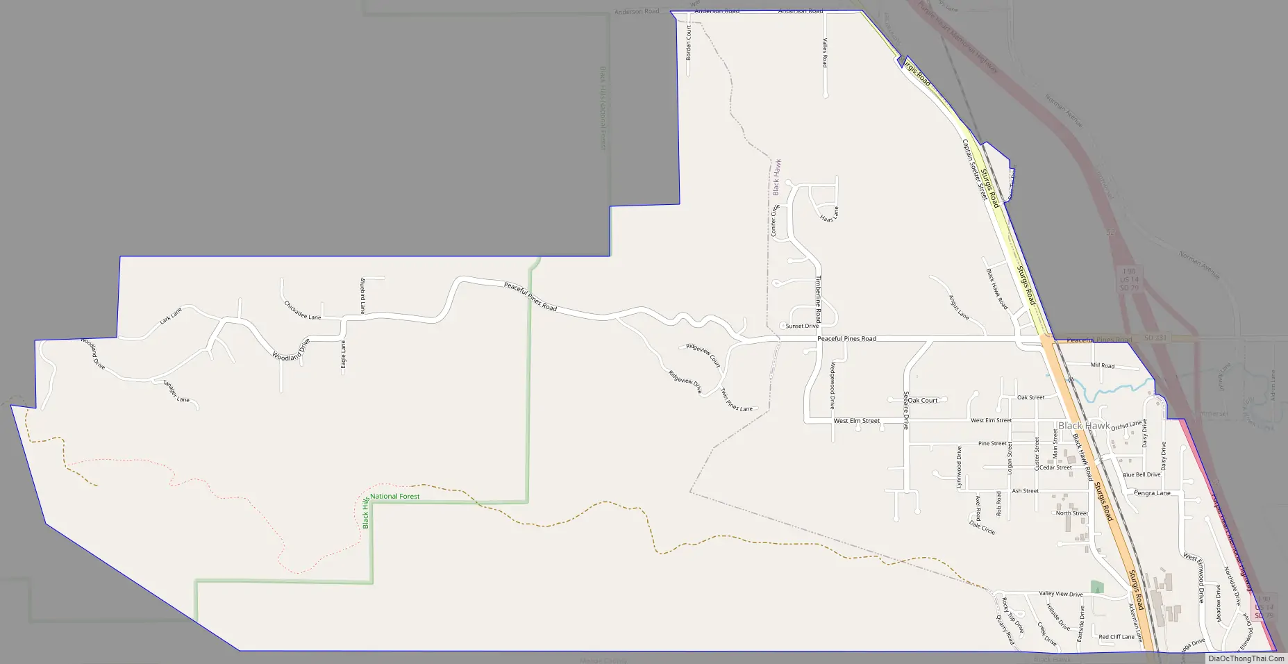
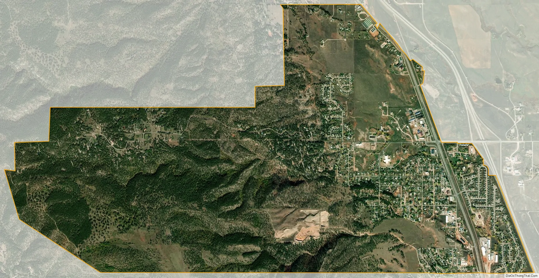
Blackhawk city Satellite Map
Geography
Black Hawk is located at 44°9′6″N 103°18′41″W / 44.15167°N 103.31139°W / 44.15167; -103.31139 (44.151575, -103.311420).
According to the United States Census Bureau, the CDP has a total area of 2.2 square miles (5.7 km), all land. Black Hawk is located north of Box Elder Creek, west of Interstate 90, south of the City of Summerset, and east of the Black Hills National Forest.
See also
Map of South Dakota State and its subdivision:- Aurora
- Beadle
- Bennett
- Bon Homme
- Brookings
- Brown
- Brule
- Buffalo
- Butte
- Campbell
- Charles Mix
- Clark
- Clay
- Codington
- Corson
- Custer
- Davison
- Day
- Deuel
- Dewey
- Douglas
- Edmunds
- Fall River
- Faulk
- Grant
- Gregory
- Haakon
- Hamlin
- Hand
- Hanson
- Harding
- Hughes
- Hutchinson
- Hyde
- Jackson
- Jerauld
- Jones
- Kingsbury
- Lake
- Lawrence
- Lincoln
- Lyman
- Marshall
- McCook
- McPherson
- Meade
- Mellette
- Miner
- Minnehaha
- Moody
- Pennington
- Perkins
- Potter
- Roberts
- Sanborn
- Shannon
- Spink
- Stanley
- Sully
- Todd
- Tripp
- Turner
- Union
- Walworth
- Yankton
- Ziebach
- Alabama
- Alaska
- Arizona
- Arkansas
- California
- Colorado
- Connecticut
- Delaware
- District of Columbia
- Florida
- Georgia
- Hawaii
- Idaho
- Illinois
- Indiana
- Iowa
- Kansas
- Kentucky
- Louisiana
- Maine
- Maryland
- Massachusetts
- Michigan
- Minnesota
- Mississippi
- Missouri
- Montana
- Nebraska
- Nevada
- New Hampshire
- New Jersey
- New Mexico
- New York
- North Carolina
- North Dakota
- Ohio
- Oklahoma
- Oregon
- Pennsylvania
- Rhode Island
- South Carolina
- South Dakota
- Tennessee
- Texas
- Utah
- Vermont
- Virginia
- Washington
- West Virginia
- Wisconsin
- Wyoming