Bruce is a city in Brookings County, South Dakota, United States. The population was 210 at the 2020 census.
| Name: | Bruce city |
|---|---|
| LSAD Code: | 25 |
| LSAD Description: | city (suffix) |
| State: | South Dakota |
| County: | Brookings County |
| Elevation: | 1,627 ft (496 m) |
| Total Area: | 0.37 sq mi (0.96 km²) |
| Land Area: | 0.37 sq mi (0.96 km²) |
| Water Area: | 0.00 sq mi (0.00 km²) |
| Total Population: | 210 |
| Population Density: | 567.57/sq mi (219.11/km²) |
| ZIP code: | 57220 |
| Area code: | 605 |
| FIPS code: | 4607740 |
| GNISfeature ID: | 1254084 |
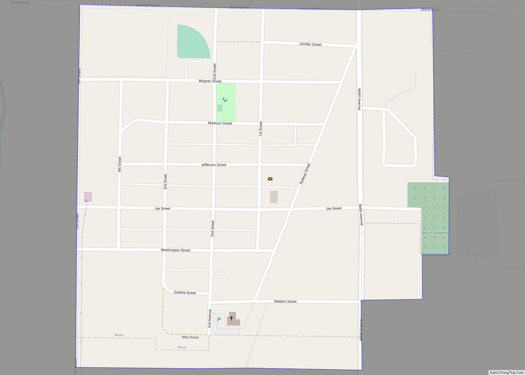
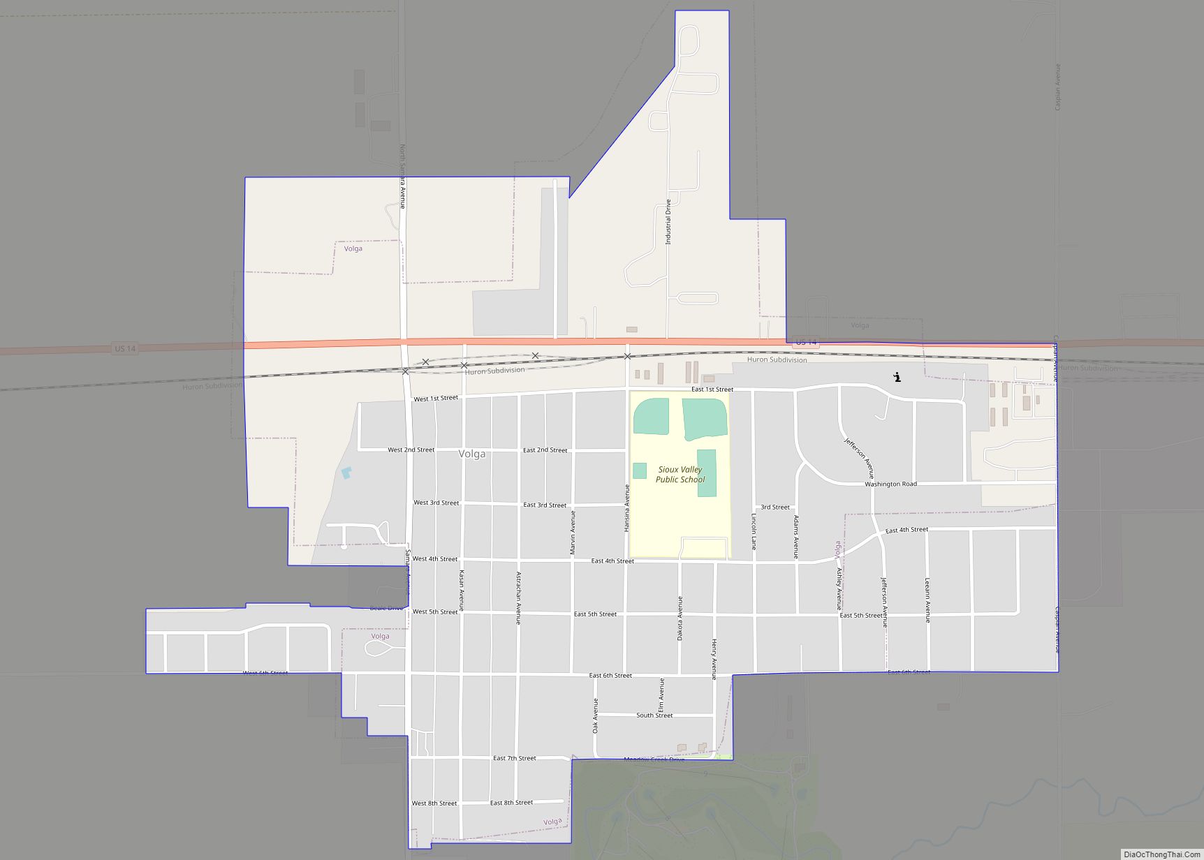
Online Interactive Map
Click on ![]() to view map in "full screen" mode.
to view map in "full screen" mode.
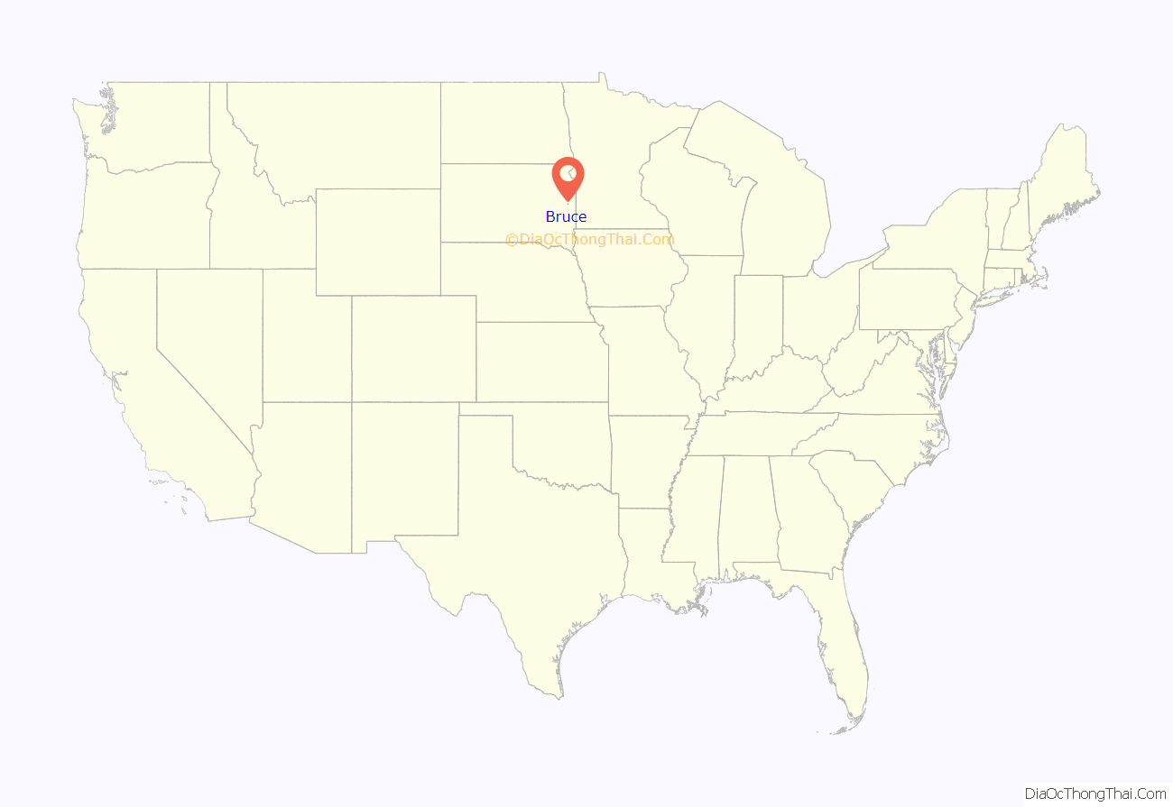
Bruce location map. Where is Bruce city?
History
Bruce was originally called Lie, and under the latter name was founded in 1881. It was renamed in 1883, but the namesake is unclear. Some hold Bruce was named for the son of an early Chicago Northwestern railroad official, while others believe it was named for Blanche K. Bruce, an African-American statesman and friend of Roscoe Conkling, U.S. Senator from New York at the time.
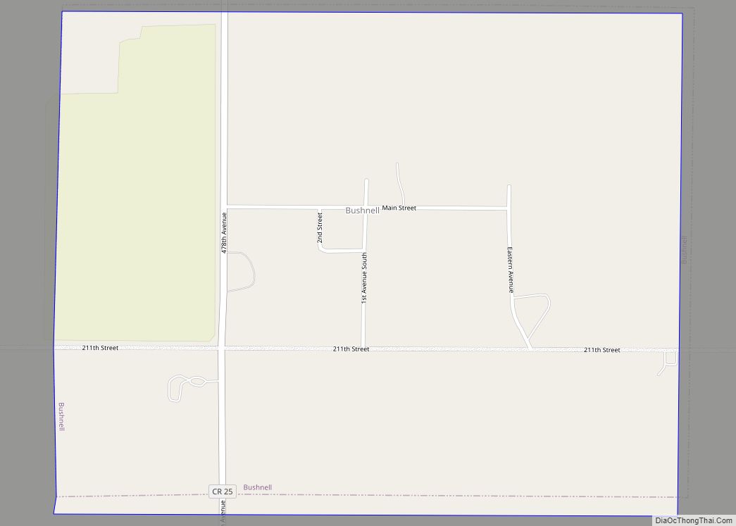
Bruce Road Map
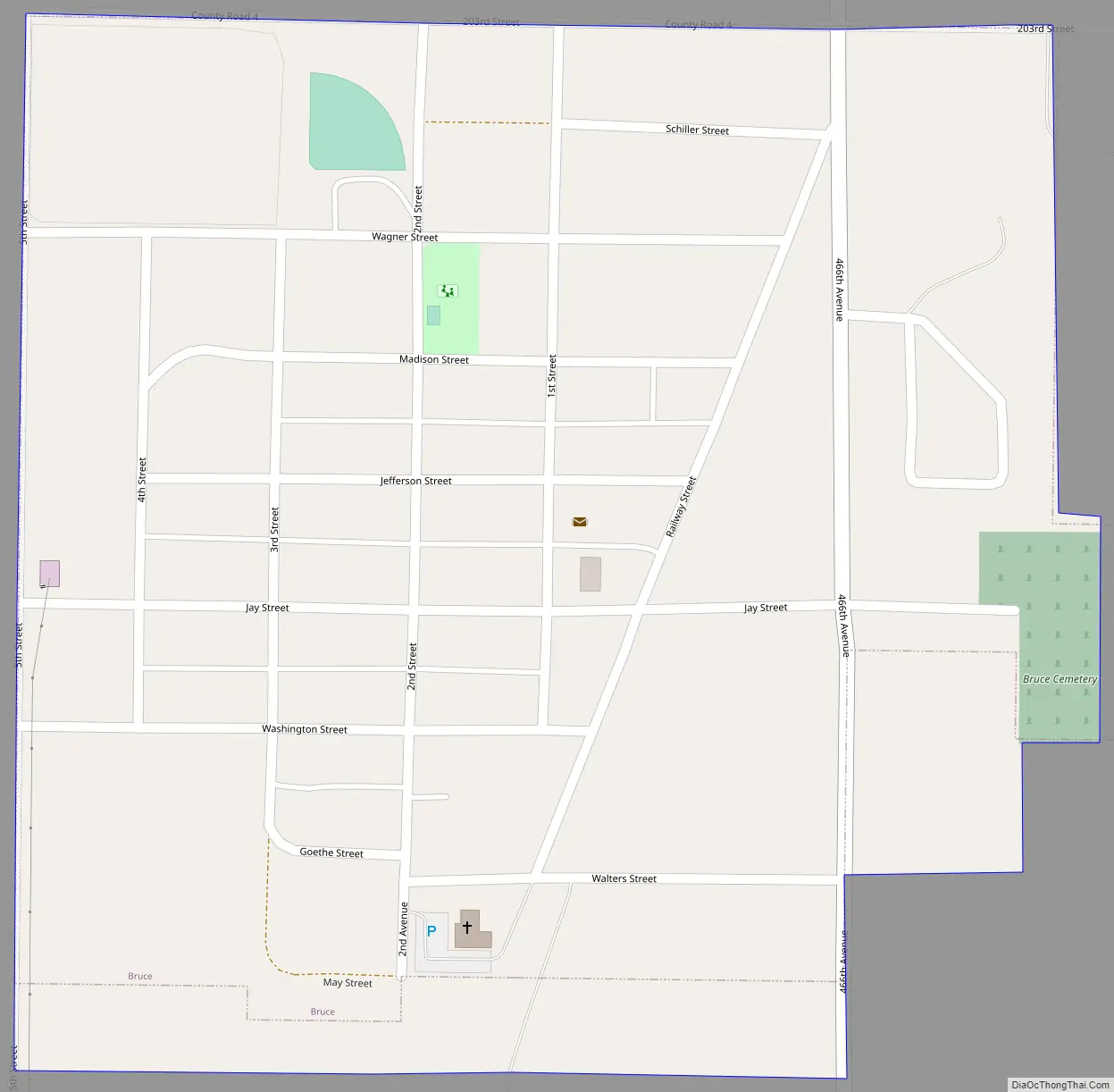
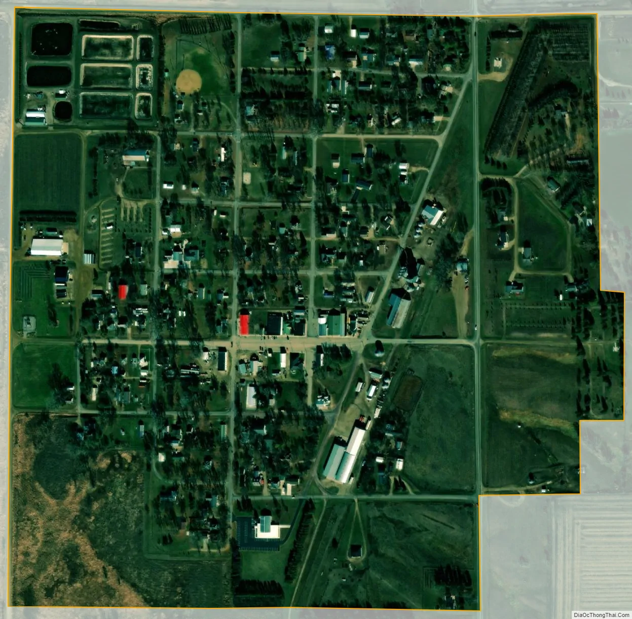
Bruce city Satellite Map
Geography
Bruce is located at 44°26′16″N 96°53′29″W / 44.43778°N 96.89139°W / 44.43778; -96.89139 (44.437896, -96.891374), along the Big Sioux River.
According to the United States Census Bureau, the city has a total area of 0.38 square miles (0.98 km), of which 0.37 square miles (0.96 km) is land and 0.01 square miles (0.03 km) is water.
Bruce has been assigned the ZIP code 57220 and the FIPS place code 07740.
See also
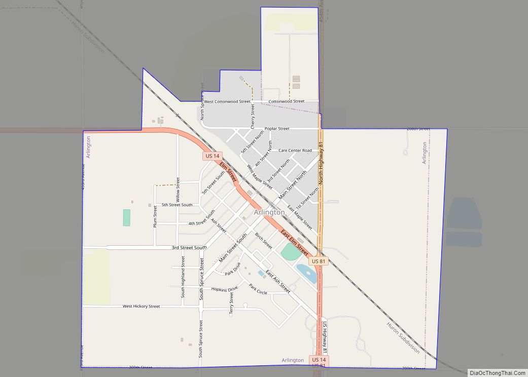
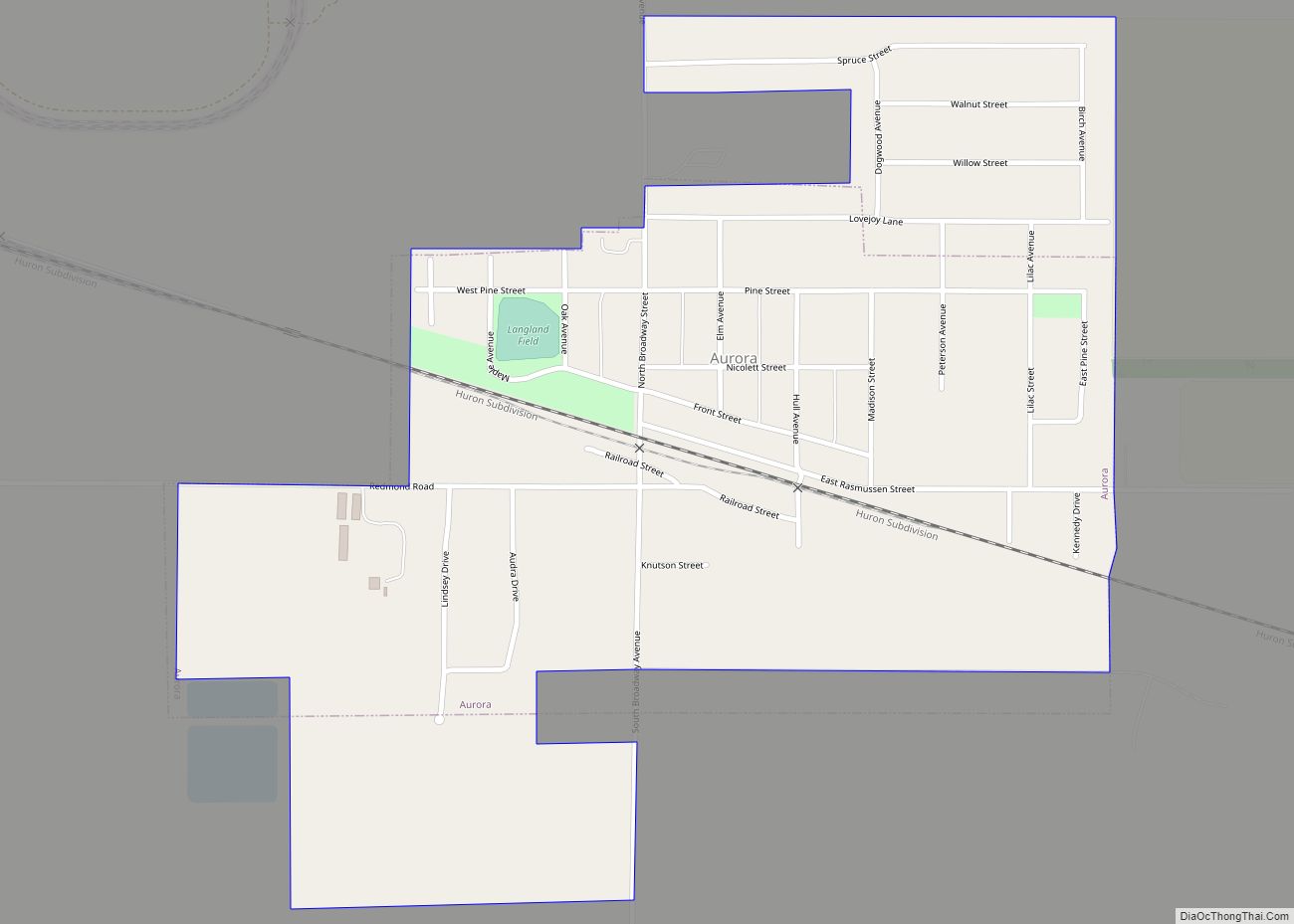
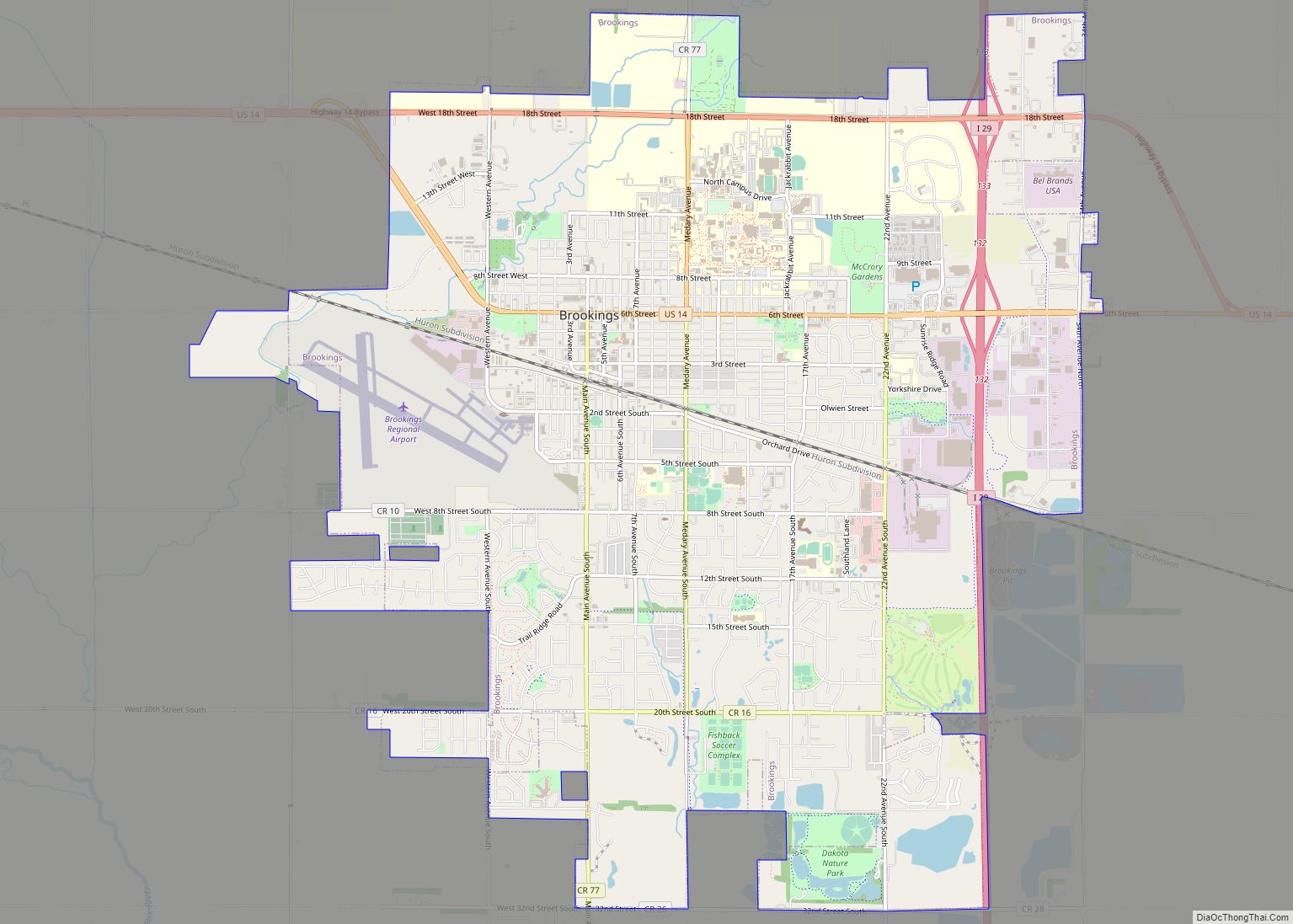
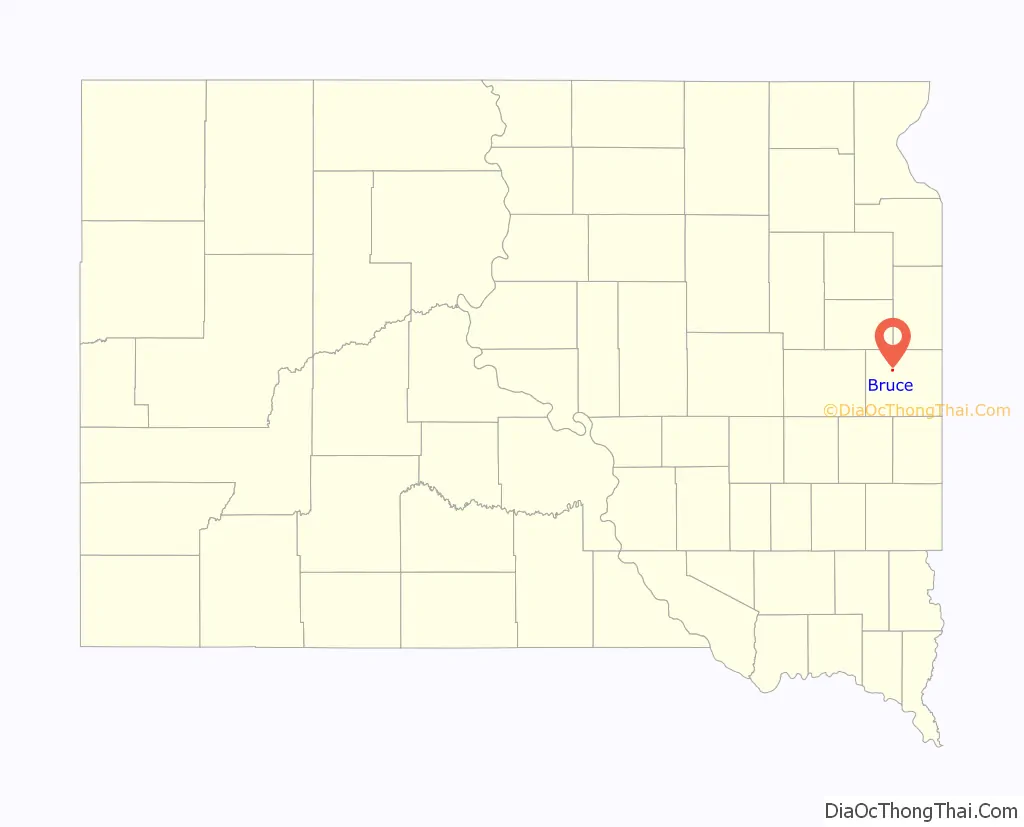
Map of South Dakota State and its subdivision:- Aurora
- Beadle
- Bennett
- Bon Homme
- Brookings
- Brown
- Brule
- Buffalo
- Butte
- Campbell
- Charles Mix
- Clark
- Clay
- Codington
- Corson
- Custer
- Davison
- Day
- Deuel
- Dewey
- Douglas
- Edmunds
- Fall River
- Faulk
- Grant
- Gregory
- Haakon
- Hamlin
- Hand
- Hanson
- Harding
- Hughes
- Hutchinson
- Hyde
- Jackson
- Jerauld
- Jones
- Kingsbury
- Lake
- Lawrence
- Lincoln
- Lyman
- Marshall
- McCook
- McPherson
- Meade
- Mellette
- Miner
- Minnehaha
- Moody
- Pennington
- Perkins
- Potter
- Roberts
- Sanborn
- Shannon
- Spink
- Stanley
- Sully
- Todd
- Tripp
- Turner
- Union
- Walworth
- Yankton
- Ziebach
- Alabama
- Alaska
- Arizona
- Arkansas
- California
- Colorado
- Connecticut
- Delaware
- District of Columbia
- Florida
- Georgia
- Hawaii
- Idaho
- Illinois
- Indiana
- Iowa
- Kansas
- Kentucky
- Louisiana
- Maine
- Maryland
- Massachusetts
- Michigan
- Minnesota
- Mississippi
- Missouri
- Montana
- Nebraska
- Nevada
- New Hampshire
- New Jersey
- New Mexico
- New York
- North Carolina
- North Dakota
- Ohio
- Oklahoma
- Oregon
- Pennsylvania
- Rhode Island
- South Carolina
- South Dakota
- Tennessee
- Texas
- Utah
- Vermont
- Virginia
- Washington
- West Virginia
- Wisconsin
- Wyoming