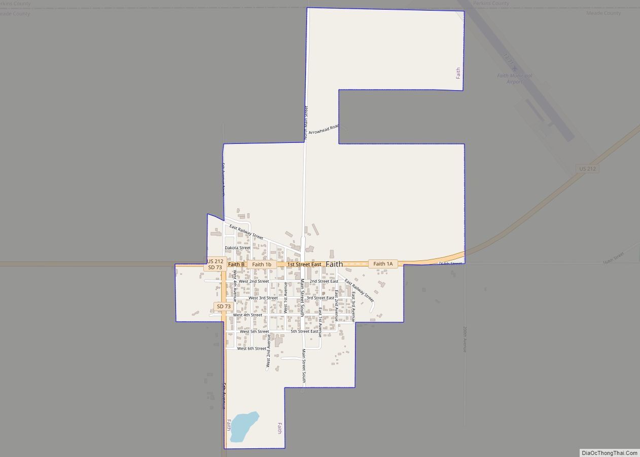
Faith is a city in the northeastern corner of Meade County, South Dakota, United States. The population was 367 at the 2020 census. The most complete Tyrannosaurus rex skeleton known, Sue, was discovered approximately 15 miles northeast of Faith in August 1990.
| Name: | Faith city |
|---|---|
| LSAD Code: | 25 |
| LSAD Description: | city (suffix) |
| State: | South Dakota |
| County: | Meade County |
| Incorporated: | 1912 |
| Elevation: | 2,595 ft (791 m) |
| Total Area: | 1.20 sq mi (3.11 km²) |
| Land Area: | 1.20 sq mi (3.11 km²) |
| Water Area: | 0.00 sq mi (0.00 km²) |
| Total Population: | 367 |
| Population Density: | 306.09/sq mi (118.20/km²) |
| ZIP code: | 57626 |
| Area code: | 605 |
| FIPS code: | 4620980 |
| GNISfeature ID: | 1255004 |
| Website: | www.faithsd.com |
Online Interactive Map
Click on ![]() to view map in "full screen" mode.
to view map in "full screen" mode.
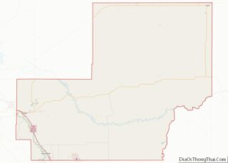
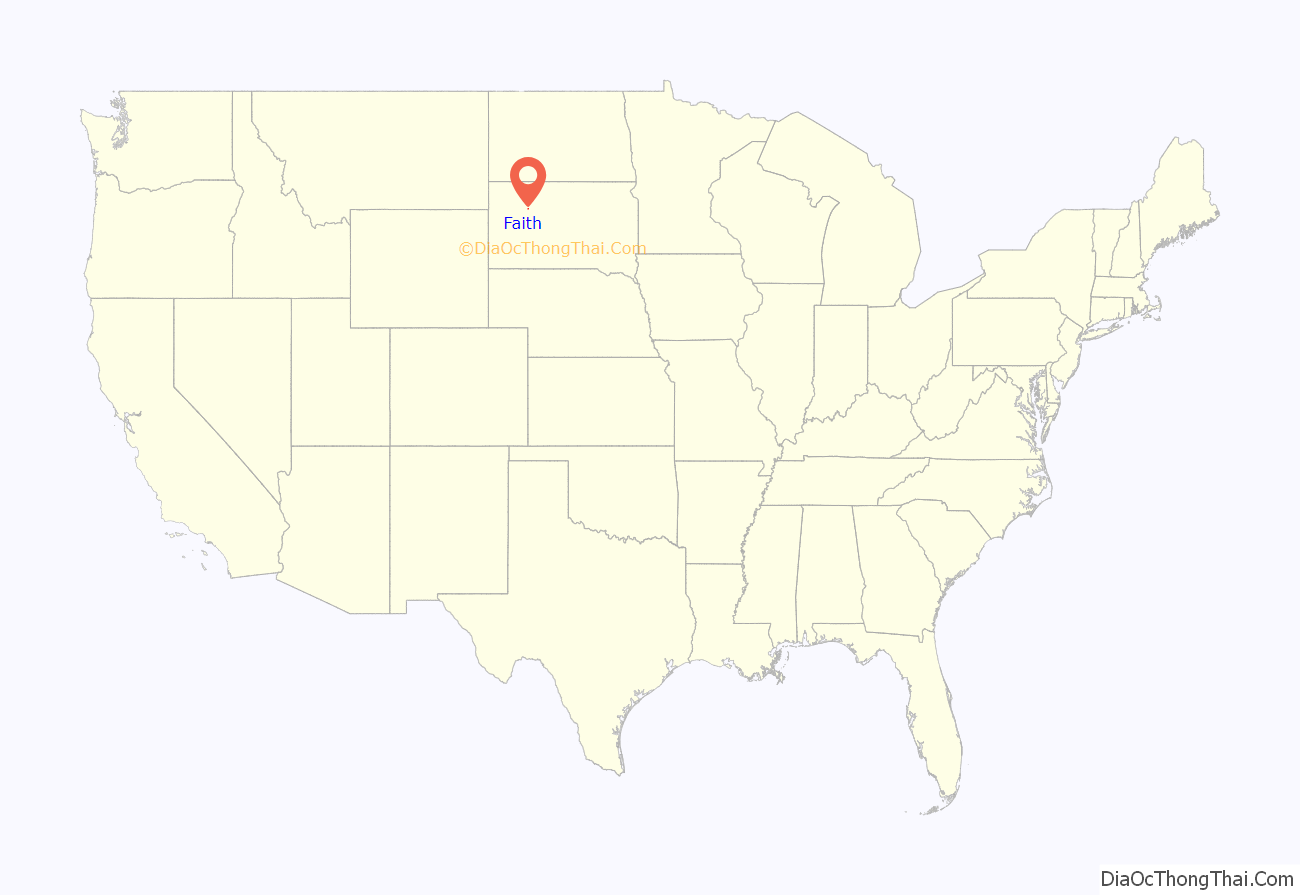
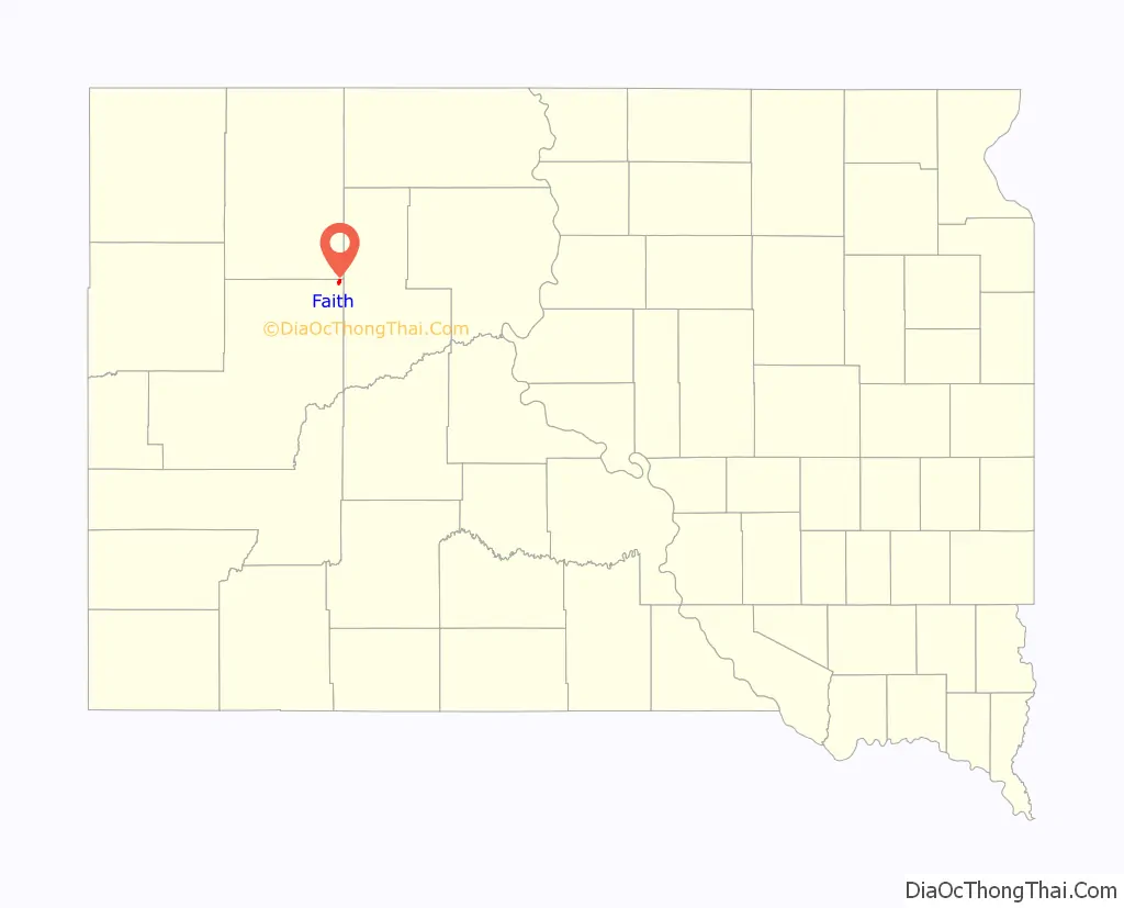
Faith location map. Where is Faith city?
History
According to folk etymology, the town was named Faith because it took faith to live out on the prairie. However, the story of the city as documented in various informal, locally published histories, is that the town was named for Faith Rockefeller, one of the daughters of a major investor in the railroad responsible for founding the town. This is in keeping with the names of other towns on the route of the old railroad (now abandoned), such as Isabel, South Dakota. Faith was the permanent end of the railroad, a local spur off the Milwaukee Road Railroad. The city was established in 1910.
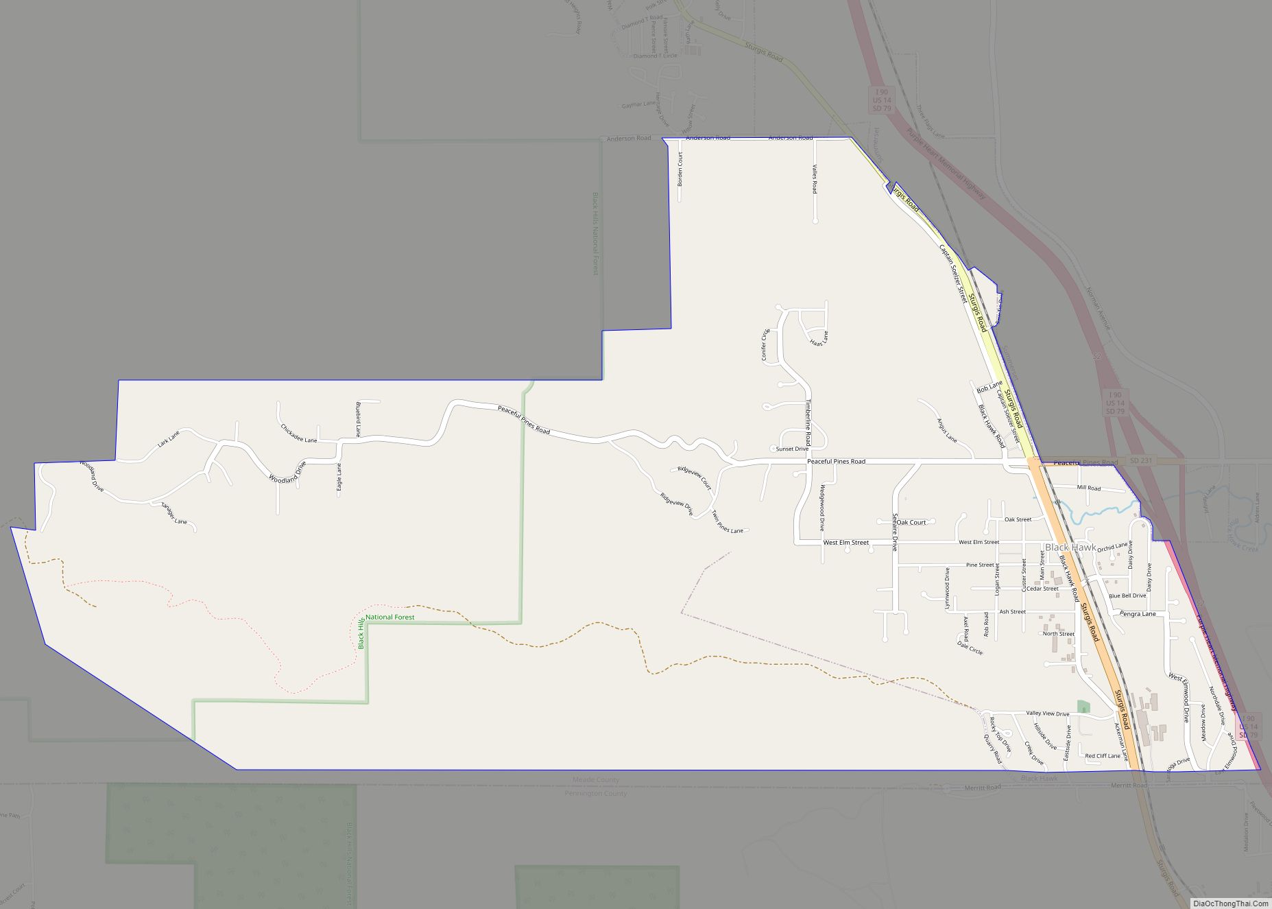
Faith Road Map
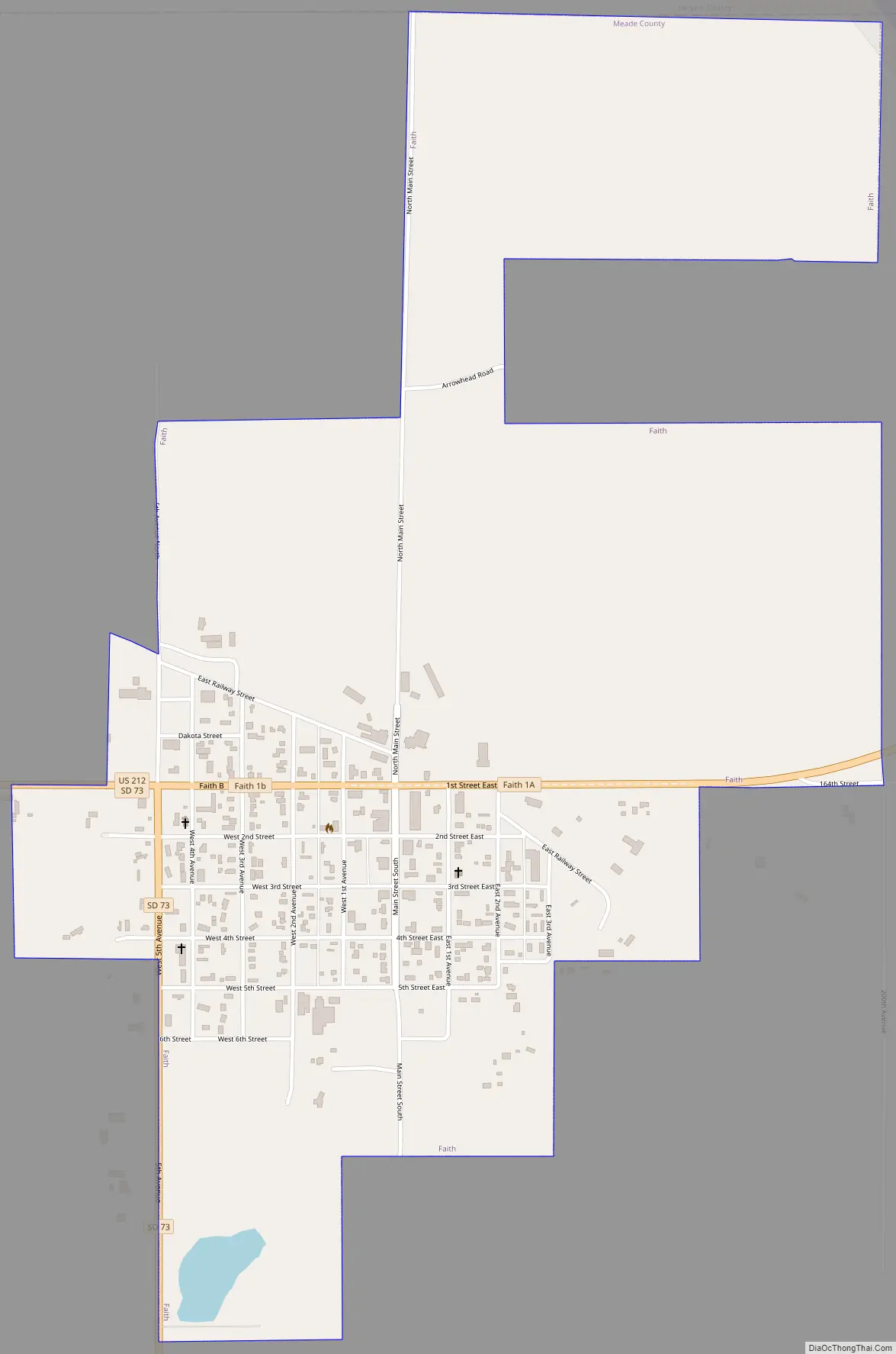
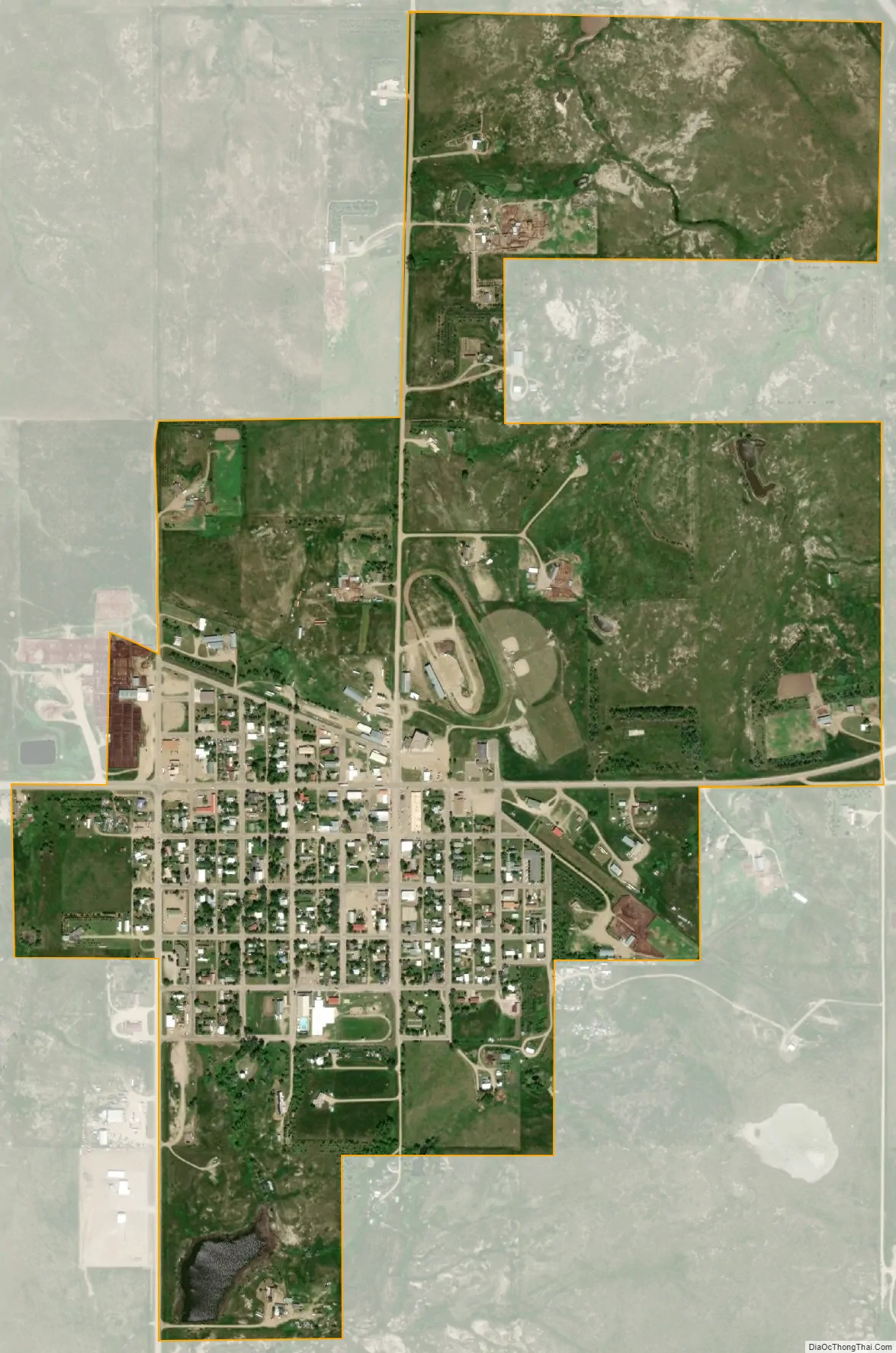
Faith city Satellite Map
Geography
Faith is located at 45°1′18″N 102°2′22″W / 45.02167°N 102.03944°W / 45.02167; -102.03944 (45.021648, -102.039502).
According to the United States Census Bureau, the city has a total area of 1.20 square miles (3.11 km), all land.
See also
Map of South Dakota State and its subdivision:- Aurora
- Beadle
- Bennett
- Bon Homme
- Brookings
- Brown
- Brule
- Buffalo
- Butte
- Campbell
- Charles Mix
- Clark
- Clay
- Codington
- Corson
- Custer
- Davison
- Day
- Deuel
- Dewey
- Douglas
- Edmunds
- Fall River
- Faulk
- Grant
- Gregory
- Haakon
- Hamlin
- Hand
- Hanson
- Harding
- Hughes
- Hutchinson
- Hyde
- Jackson
- Jerauld
- Jones
- Kingsbury
- Lake
- Lawrence
- Lincoln
- Lyman
- Marshall
- McCook
- McPherson
- Meade
- Mellette
- Miner
- Minnehaha
- Moody
- Pennington
- Perkins
- Potter
- Roberts
- Sanborn
- Shannon
- Spink
- Stanley
- Sully
- Todd
- Tripp
- Turner
- Union
- Walworth
- Yankton
- Ziebach
- Alabama
- Alaska
- Arizona
- Arkansas
- California
- Colorado
- Connecticut
- Delaware
- District of Columbia
- Florida
- Georgia
- Hawaii
- Idaho
- Illinois
- Indiana
- Iowa
- Kansas
- Kentucky
- Louisiana
- Maine
- Maryland
- Massachusetts
- Michigan
- Minnesota
- Mississippi
- Missouri
- Montana
- Nebraska
- Nevada
- New Hampshire
- New Jersey
- New Mexico
- New York
- North Carolina
- North Dakota
- Ohio
- Oklahoma
- Oregon
- Pennsylvania
- Rhode Island
- South Carolina
- South Dakota
- Tennessee
- Texas
- Utah
- Vermont
- Virginia
- Washington
- West Virginia
- Wisconsin
- Wyoming