Fort Pierre is a city in Stanley County, South Dakota, United States. It is part of the Pierre, South Dakota micropolitan area and the county seat of Stanley County. The population was 2,115 at the 2020 census.
The settlement of Fort Pierre developed around an 1832 trading post and fort situated on the west bank of the Missouri River, near the confluence with its tributary Bad River. An earlier American-owned trading post had been operating nearby since 1817, and in 2017 the city celebrated its bicentennial of continuous permanent settlement.
| Name: | Fort Pierre city |
|---|---|
| LSAD Code: | 25 |
| LSAD Description: | city (suffix) |
| State: | South Dakota |
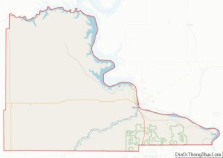
| County: | Stanley County |
| Founded: | 1867 |
| Incorporated: | 1890 |
| Elevation: | 1,434 ft (437 m) |
| Total Area: | 3.17 sq mi (8.20 km²) |
| Land Area: | 3.12 sq mi (8.08 km²) |
| Water Area: | 0.05 sq mi (0.12 km²) |
| Total Population: | 2,115 |
| Population Density: | 678.10/sq mi (261.84/km²) |
| ZIP code: | 57532 |
| Area code: | 605 |
| FIPS code: | 4622260 |
| GNISfeature ID: | 1255113 |
| Website: | http://www.fortpierre.com/ |
Online Interactive Map
Click on ![]() to view map in "full screen" mode.
to view map in "full screen" mode.
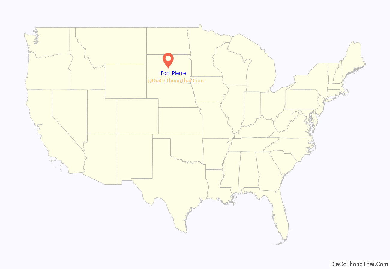
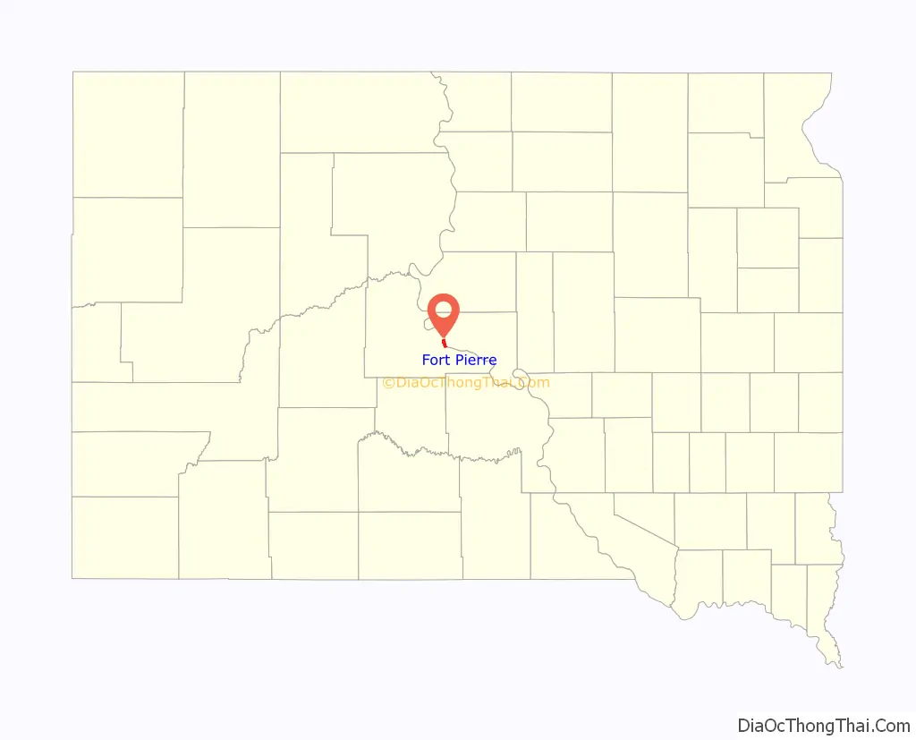
Fort Pierre location map. Where is Fort Pierre city?
History
On March 30, 1743, Francois and Louis-Joseph Gaultier de La Vérendrye reached the area of present-day Fort Pierre during an expedition west from Quebec, a French colony in present-day Canada. They left a lead plate buried in a hill to claim the land for the King of France. In the 1803 Louisiana Purchase, the United States acquired this area and the remainder of France’s vast territory west of the Mississippi River.
President Thomas Jefferson commissioned the Lewis and Clark Corps of Discovery Expedition in 1804 to explore the territory, especially by traveling west to the Upper Missouri and Platte rivers, in the hope of finding a water route to the Pacific Ocean. They met with the Teton Sioux on the south side of the mouth of the Bad River on September 24-28, 1804.
In 1817 fur trader Joseph La Framboise, Jr., an agent for the American Fur Company, established Fort Tecumseh a mile to the north, on what is now La Framboise Island in the Missouri River. The fur trade was highly lucrative and attracted competitors. In 1832, Pierre Chouteau, Jr., a major fur trader from St Louis, replaced that early facility with Fort Pierre Chouteau, a trading post and fort on the west side of the Missouri and north side of the Bad River’s mouth.
The city of Fort Pierre gradually developed around the trading post. Fort Pierre celebrated its Bicentennial in 2017, marking 200 years of continuous permanent settlement at the confluence of the Missouri and Bad rivers.
In 1880, the settlement of Pierre was founded on the east side of the Missouri River in Hughes. Because it was centrally located and reached first by the railroad, it was designated by the state legislature as the state capital when South Dakota was admitted as a state.
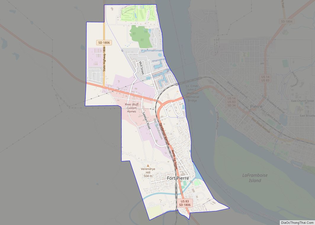
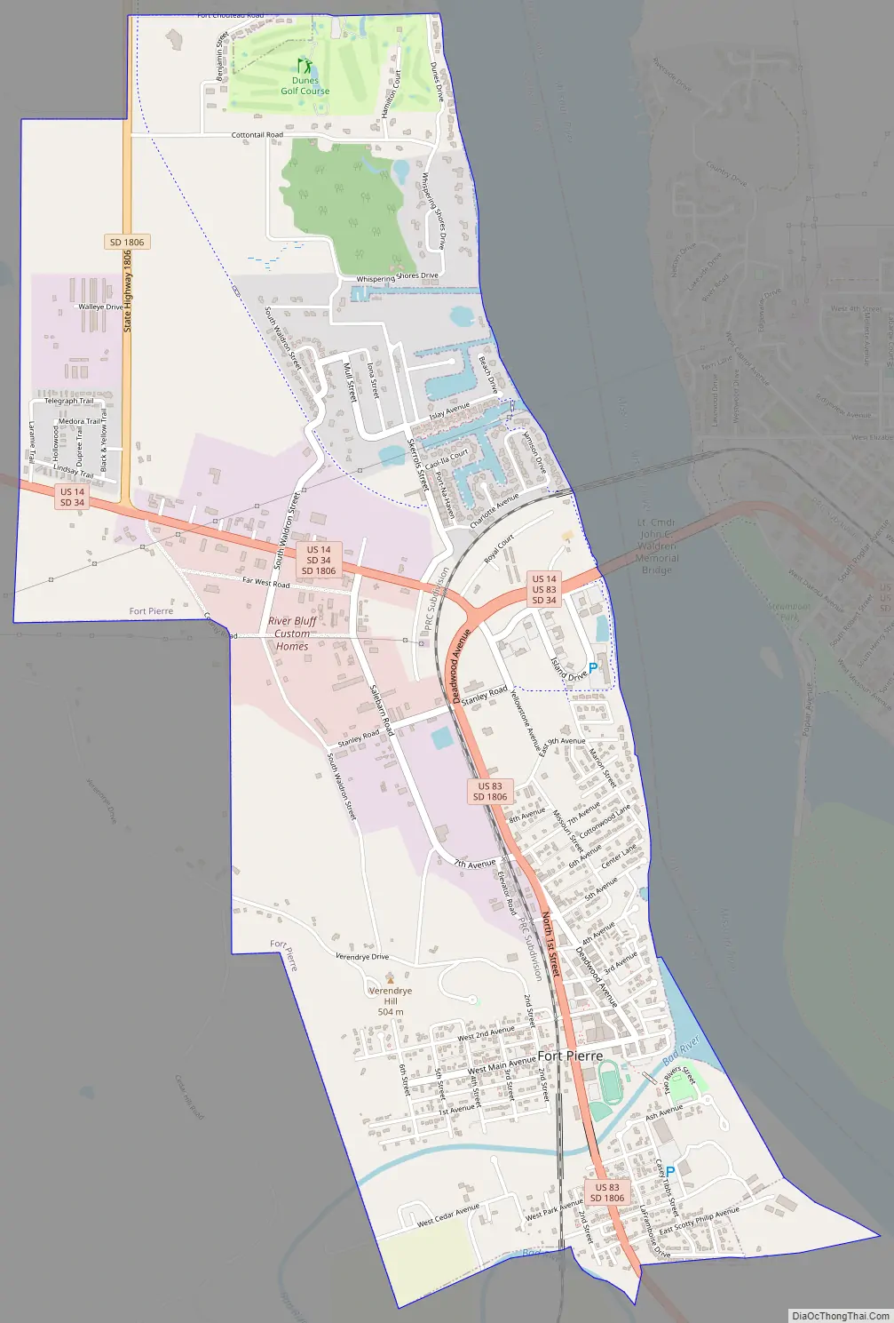
Fort Pierre Road Map
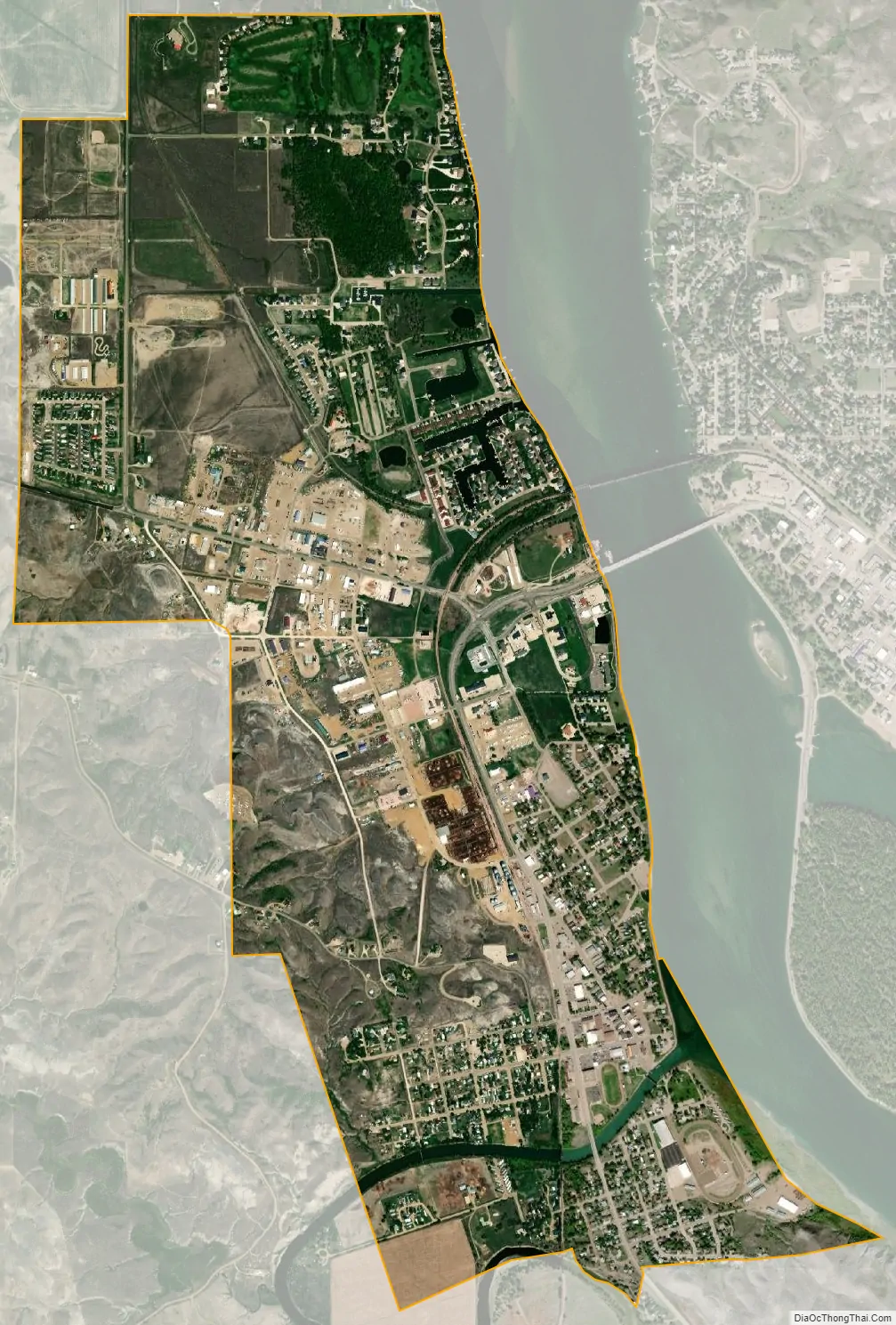
Fort Pierre city Satellite Map
Geography
Fort Pierre is located at 44°21′32″N 100°22′33″W / 44.35889°N 100.37583°W / 44.35889; -100.37583 (44.358941, -100.375742). Across the Missouri River from Fort Pierre is the state capital of South Dakota, Pierre.
According to the United States Census Bureau, the city has a total area of 3.16 square miles (8.18 km), of which 3.11 square miles (8.05 km) is land and 0.05 square miles (0.13 km) is water.
Fort Pierre has been assigned the ZIP code 57532 and the FIPS place code 22260.
Although Fort Pierre is located in the Mountain Time Zone, most residents of the city use Central Time because of close social and economic ties with Pierre, which is located in the Central Time Zone.
See also
Map of South Dakota State and its subdivision:- Aurora
- Beadle
- Bennett
- Bon Homme
- Brookings
- Brown
- Brule
- Buffalo
- Butte
- Campbell
- Charles Mix
- Clark
- Clay
- Codington
- Corson
- Custer
- Davison
- Day
- Deuel
- Dewey
- Douglas
- Edmunds
- Fall River
- Faulk
- Grant
- Gregory
- Haakon
- Hamlin
- Hand
- Hanson
- Harding
- Hughes
- Hutchinson
- Hyde
- Jackson
- Jerauld
- Jones
- Kingsbury
- Lake
- Lawrence
- Lincoln
- Lyman
- Marshall
- McCook
- McPherson
- Meade
- Mellette
- Miner
- Minnehaha
- Moody
- Pennington
- Perkins
- Potter
- Roberts
- Sanborn
- Shannon
- Spink
- Stanley
- Sully
- Todd
- Tripp
- Turner
- Union
- Walworth
- Yankton
- Ziebach
- Alabama
- Alaska
- Arizona
- Arkansas
- California
- Colorado
- Connecticut
- Delaware
- District of Columbia
- Florida
- Georgia
- Hawaii
- Idaho
- Illinois
- Indiana
- Iowa
- Kansas
- Kentucky
- Louisiana
- Maine
- Maryland
- Massachusetts
- Michigan
- Minnesota
- Mississippi
- Missouri
- Montana
- Nebraska
- Nevada
- New Hampshire
- New Jersey
- New Mexico
- New York
- North Carolina
- North Dakota
- Ohio
- Oklahoma
- Oregon
- Pennsylvania
- Rhode Island
- South Carolina
- South Dakota
- Tennessee
- Texas
- Utah
- Vermont
- Virginia
- Washington
- West Virginia
- Wisconsin
- Wyoming