Hamill is a rural hamlet in Tripp County, South Dakota, United States. The population was 14 at the 2020 census. There is a post office at Hamill, also two churches and a community hall; otherwise, no businesses or services.
| Name: | Hamill CDP |
|---|---|
| LSAD Code: | 57 |
| LSAD Description: | CDP (suffix) |
| State: | South Dakota |
| County: | Tripp County |
| Elevation: | 1,762 ft (537 m) |
| Total Area: | 1.25 sq mi (3.25 km²) |
| Land Area: | 1.22 sq mi (3.16 km²) |
| Water Area: | 0.03 sq mi (0.08 km²) |
| Total Population: | 14 |
| Population Density: | 11.46/sq mi (4.42/km²) |
| ZIP code: | 57534 |
| Area code: | 605 |
| FIPS code: | 4626660 |
| GNISfeature ID: | 1255403 |
Online Interactive Map
Click on ![]() to view map in "full screen" mode.
to view map in "full screen" mode.
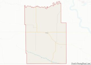
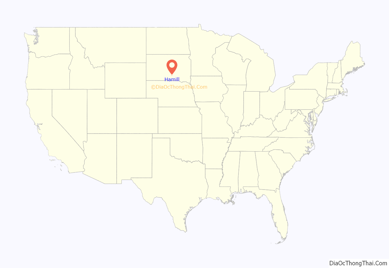
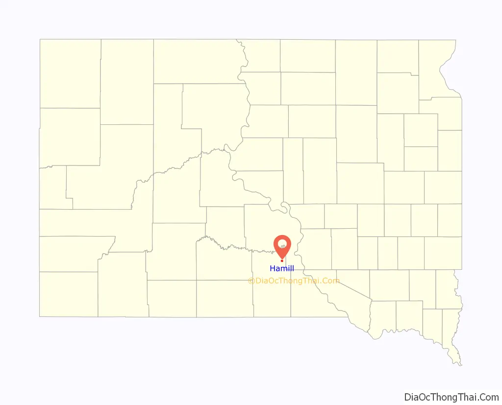
Hamill location map. Where is Hamill CDP?
History
The town was started in April 1909 on the east side of No Moccasin Lake. Originally named Roseland, Hamill was renamed for Gail Hamill the pioneer merchant, postmaster and banker in town. In 1909 the Milwaukee Road surveyed a route from Oacoma, South Dakota through Roseland and beyond but the line was never built.
Carrie Ingalls (sister of Little House on the Prairie’s Laura Ingalls Wilder) was transferred to the local newspaper; Roseland Review in 1910, from Pedro, South Dakota.
A census-designated place (CDP) was established in 1980 to include Hamill, from which the CDP derived its name. According to the United States Census Bureau, this CDP has a total area of 1.2 square miles (3.1 km), of which 1.2 square miles (3.1 km) is land and 0.04 square miles (0.10 km) (2.40%) is water.
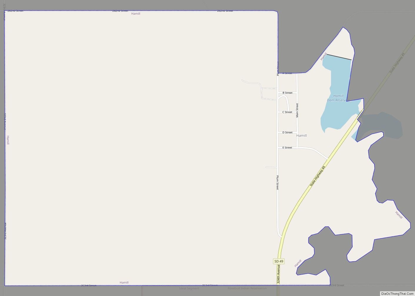
Hamill Road Map
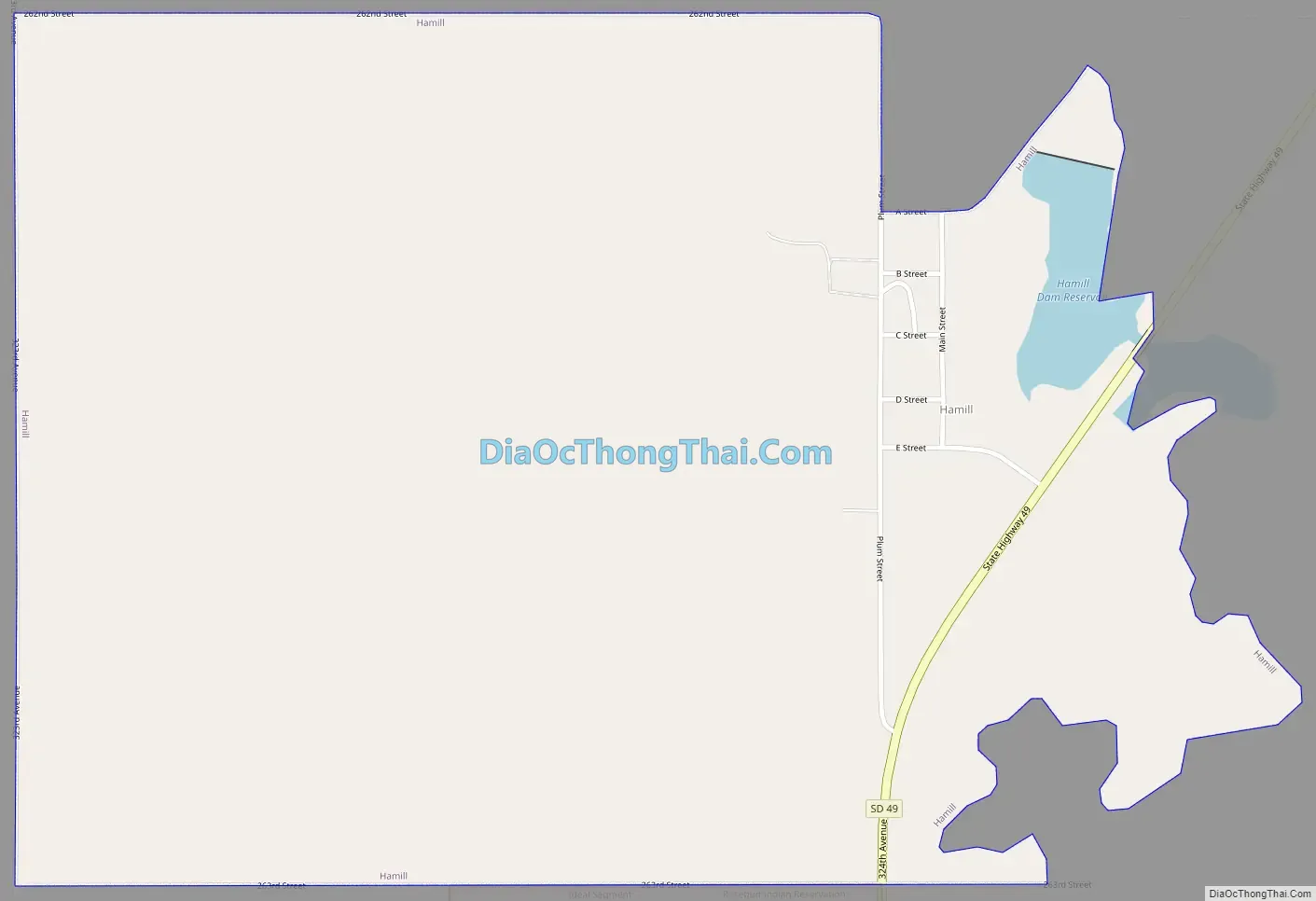
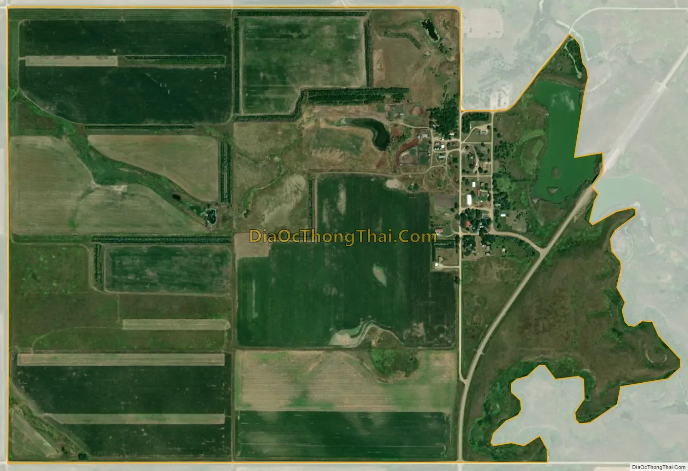
Hamill city Satellite Map
See also
Map of South Dakota State and its subdivision:- Aurora
- Beadle
- Bennett
- Bon Homme
- Brookings
- Brown
- Brule
- Buffalo
- Butte
- Campbell
- Charles Mix
- Clark
- Clay
- Codington
- Corson
- Custer
- Davison
- Day
- Deuel
- Dewey
- Douglas
- Edmunds
- Fall River
- Faulk
- Grant
- Gregory
- Haakon
- Hamlin
- Hand
- Hanson
- Harding
- Hughes
- Hutchinson
- Hyde
- Jackson
- Jerauld
- Jones
- Kingsbury
- Lake
- Lawrence
- Lincoln
- Lyman
- Marshall
- McCook
- McPherson
- Meade
- Mellette
- Miner
- Minnehaha
- Moody
- Pennington
- Perkins
- Potter
- Roberts
- Sanborn
- Shannon
- Spink
- Stanley
- Sully
- Todd
- Tripp
- Turner
- Union
- Walworth
- Yankton
- Ziebach
- Alabama
- Alaska
- Arizona
- Arkansas
- California
- Colorado
- Connecticut
- Delaware
- District of Columbia
- Florida
- Georgia
- Hawaii
- Idaho
- Illinois
- Indiana
- Iowa
- Kansas
- Kentucky
- Louisiana
- Maine
- Maryland
- Massachusetts
- Michigan
- Minnesota
- Mississippi
- Missouri
- Montana
- Nebraska
- Nevada
- New Hampshire
- New Jersey
- New Mexico
- New York
- North Carolina
- North Dakota
- Ohio
- Oklahoma
- Oregon
- Pennsylvania
- Rhode Island
- South Carolina
- South Dakota
- Tennessee
- Texas
- Utah
- Vermont
- Virginia
- Washington
- West Virginia
- Wisconsin
- Wyoming