Harrison is an unincorporated community and census-designated place (CDP) in Douglas County, South Dakota, United States. The population was 55 at the 2020 census.
The community was named for Benjamin Harrison, a United States Senator from Indiana, and afterward President of the United States.
| Name: | Harrison CDP |
|---|---|
| LSAD Code: | 57 |
| LSAD Description: | CDP (suffix) |
| State: | South Dakota |
| County: | Douglas County |
| Elevation: | 1,600 ft (500 m) |
| Total Area: | 0.11 sq mi (0.28 km²) |
| Land Area: | 0.11 sq mi (0.28 km²) |
| Water Area: | 0.00 sq mi (0.00 km²) |
| Total Population: | 55 |
| Population Density: | 509.26/sq mi (196.92/km²) |
| ZIP code: | 57344 |
| Area code: | 605 |
| FIPS code: | 4627300 |
| GNISfeature ID: | 1255447 |
Online Interactive Map
Click on ![]() to view map in "full screen" mode.
to view map in "full screen" mode.
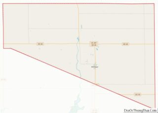
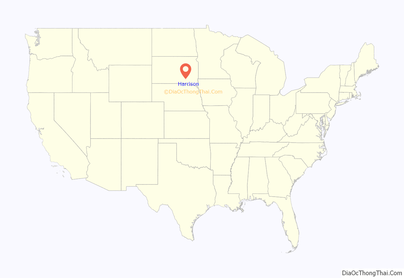
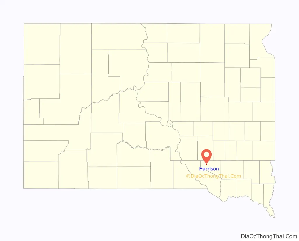
Harrison location map. Where is Harrison CDP?
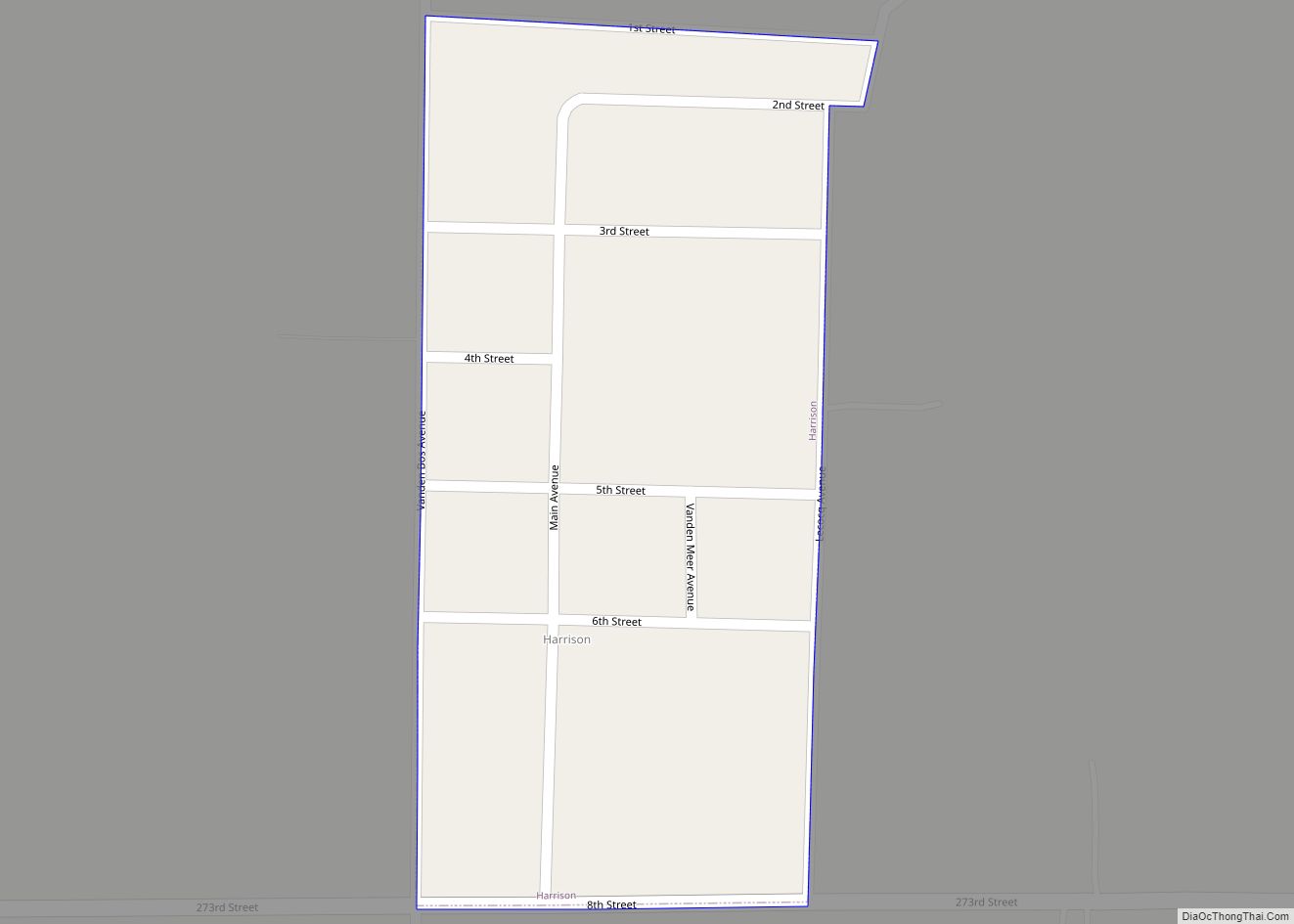
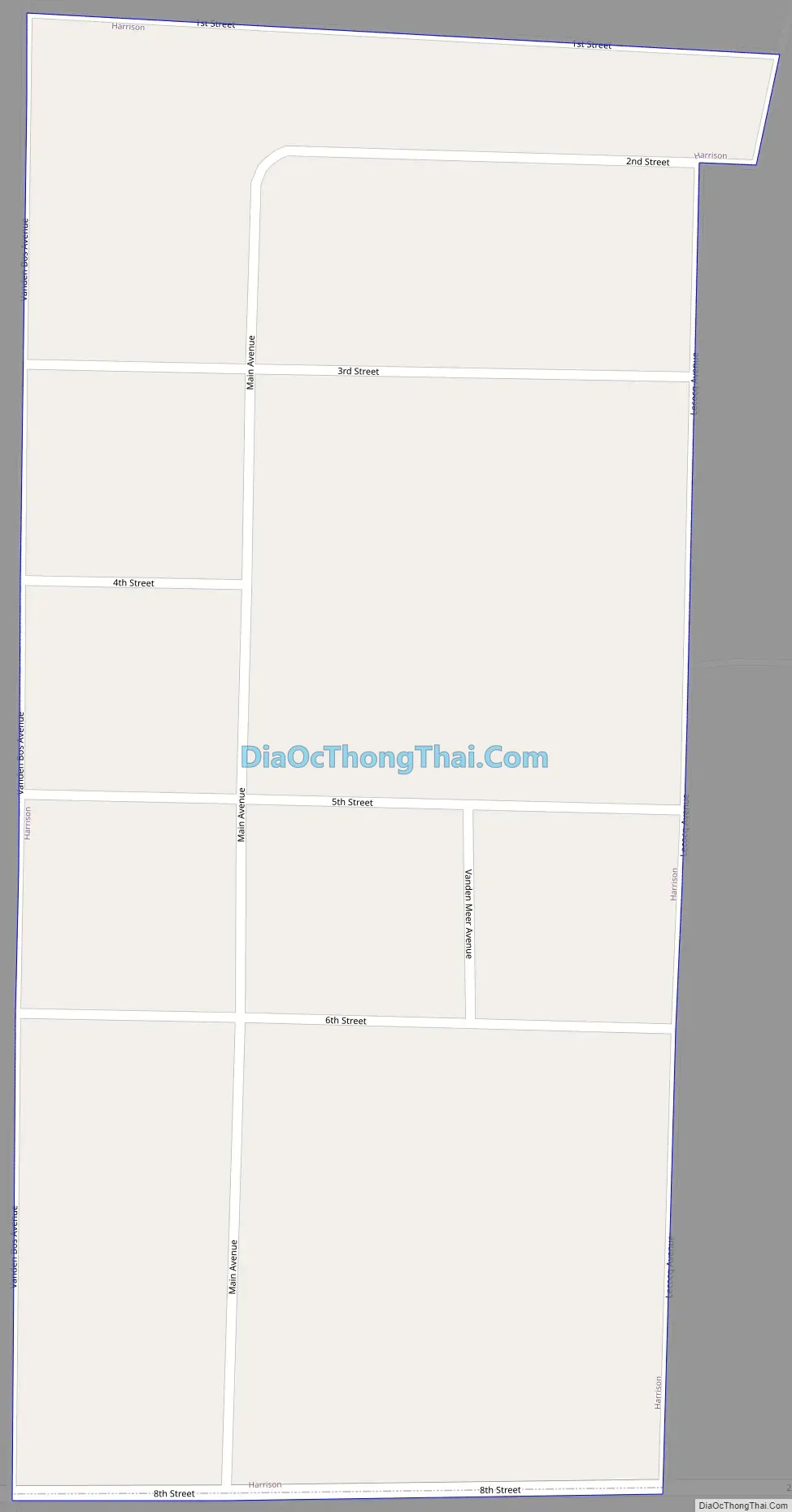
Harrison Road Map
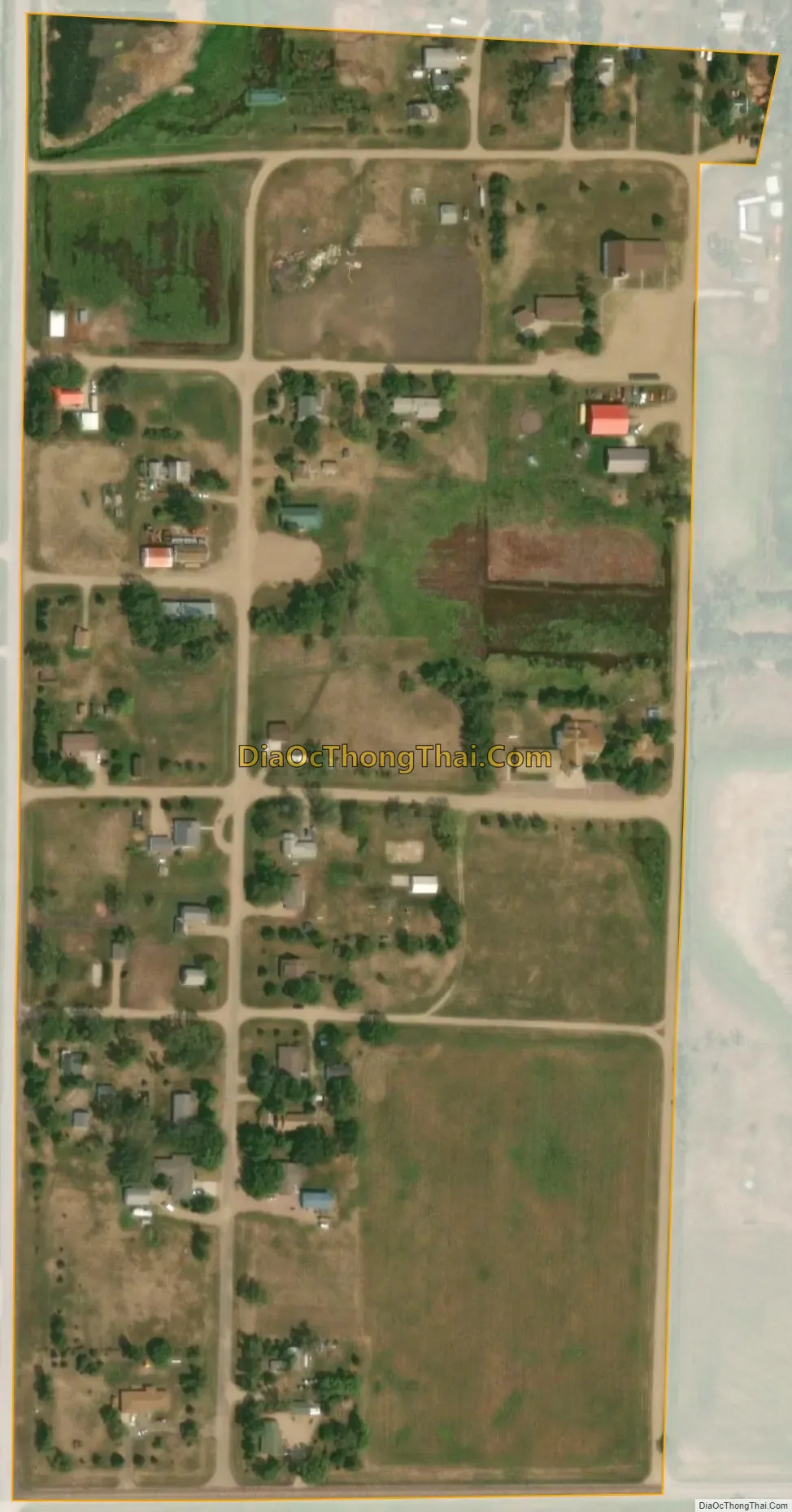
Harrison city Satellite Map
Geography
Harrison is located in western Douglas County at 43°25′53″N 98°31′42″W / 43.43139°N 98.52833°W / 43.43139; -98.52833 (43.431476, -98.528205). It is 6 miles (10 km) west of Corsica and 16 miles (26 km) northwest of Armour, the Douglas County seat.
According to the United States Census Bureau, the CDP has a total area of 0.11 square miles (0.28 km), all land.
Harrison has been assigned the ZIP code 57344.
See also
Map of South Dakota State and its subdivision:- Aurora
- Beadle
- Bennett
- Bon Homme
- Brookings
- Brown
- Brule
- Buffalo
- Butte
- Campbell
- Charles Mix
- Clark
- Clay
- Codington
- Corson
- Custer
- Davison
- Day
- Deuel
- Dewey
- Douglas
- Edmunds
- Fall River
- Faulk
- Grant
- Gregory
- Haakon
- Hamlin
- Hand
- Hanson
- Harding
- Hughes
- Hutchinson
- Hyde
- Jackson
- Jerauld
- Jones
- Kingsbury
- Lake
- Lawrence
- Lincoln
- Lyman
- Marshall
- McCook
- McPherson
- Meade
- Mellette
- Miner
- Minnehaha
- Moody
- Pennington
- Perkins
- Potter
- Roberts
- Sanborn
- Shannon
- Spink
- Stanley
- Sully
- Todd
- Tripp
- Turner
- Union
- Walworth
- Yankton
- Ziebach
- Alabama
- Alaska
- Arizona
- Arkansas
- California
- Colorado
- Connecticut
- Delaware
- District of Columbia
- Florida
- Georgia
- Hawaii
- Idaho
- Illinois
- Indiana
- Iowa
- Kansas
- Kentucky
- Louisiana
- Maine
- Maryland
- Massachusetts
- Michigan
- Minnesota
- Mississippi
- Missouri
- Montana
- Nebraska
- Nevada
- New Hampshire
- New Jersey
- New Mexico
- New York
- North Carolina
- North Dakota
- Ohio
- Oklahoma
- Oregon
- Pennsylvania
- Rhode Island
- South Carolina
- South Dakota
- Tennessee
- Texas
- Utah
- Vermont
- Virginia
- Washington
- West Virginia
- Wisconsin
- Wyoming