Java is a town in Walworth County, South Dakota, United States. The population was 121 at the 2020 census.
Java derives its name from Java coffee, and Coffee Town was an early variant name. Java received its name from railroad crews on the Chicago, Milwaukee & St. Paul Railway Line who would stop for coffee in the town prior to the railroad’s relocation in 1908.
| Name: | Java town |
|---|---|
| LSAD Code: | 43 |
| LSAD Description: | town (suffix) |
| State: | South Dakota |
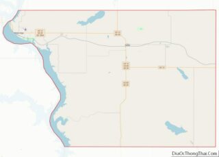
| County: | Walworth County |
| Incorporated: | 1903 |
| Elevation: | 2,096 ft (639 m) |
| Total Area: | 0.49 sq mi (1.27 km²) |
| Land Area: | 0.49 sq mi (1.27 km²) |
| Water Area: | 0.00 sq mi (0.00 km²) |
| Total Population: | 121 |
| Population Density: | 245.93/sq mi (95.02/km²) |
| ZIP code: | 57452 |
| Area code: | 605 |
| FIPS code: | 4632460 |
| GNISfeature ID: | 1255814 |
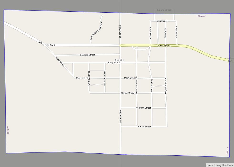
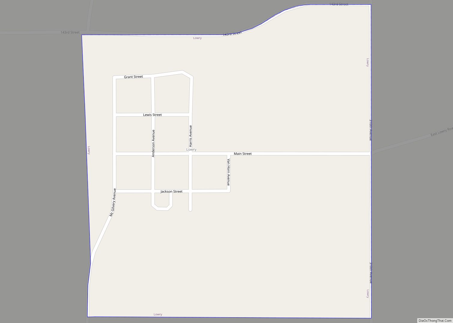
Online Interactive Map
Click on ![]() to view map in "full screen" mode.
to view map in "full screen" mode.
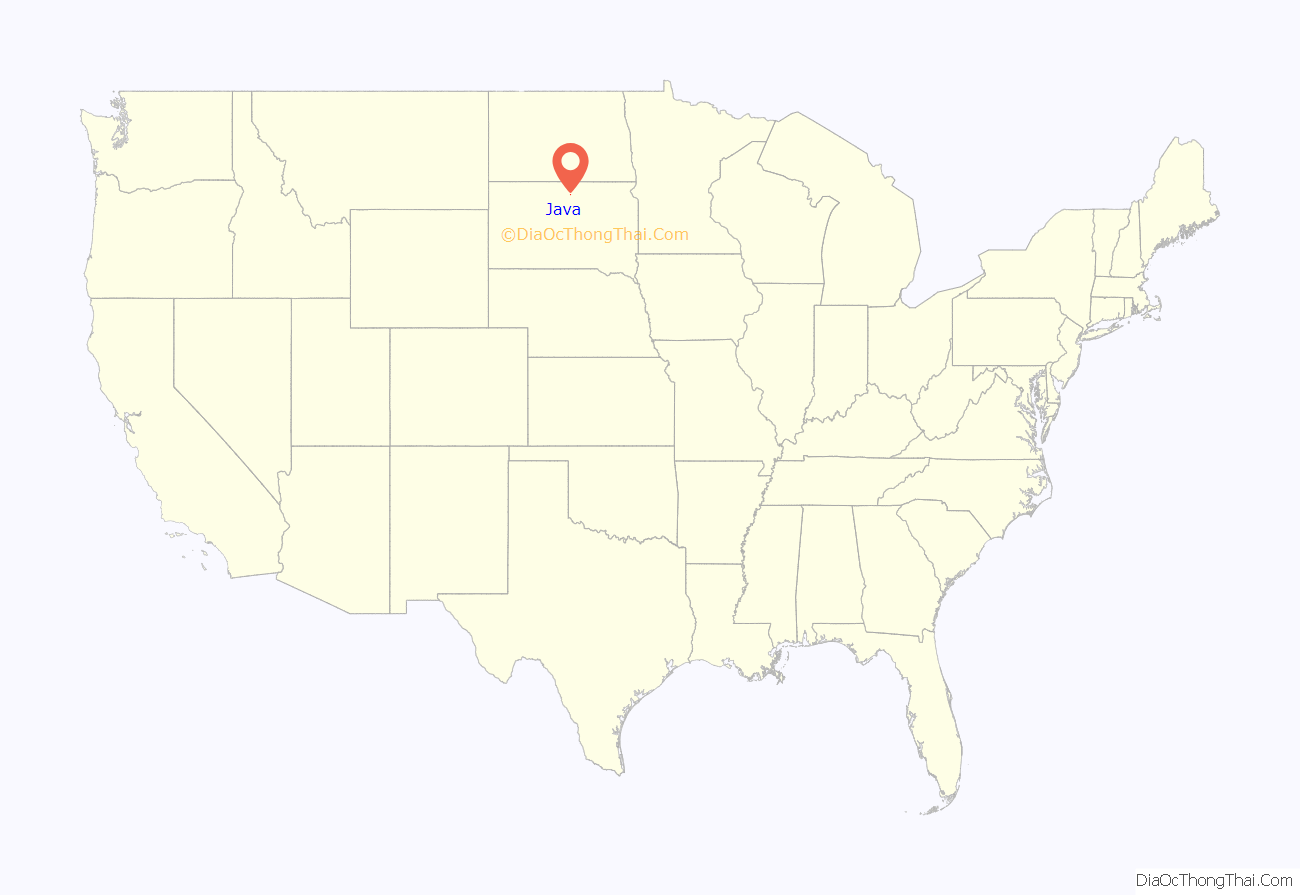
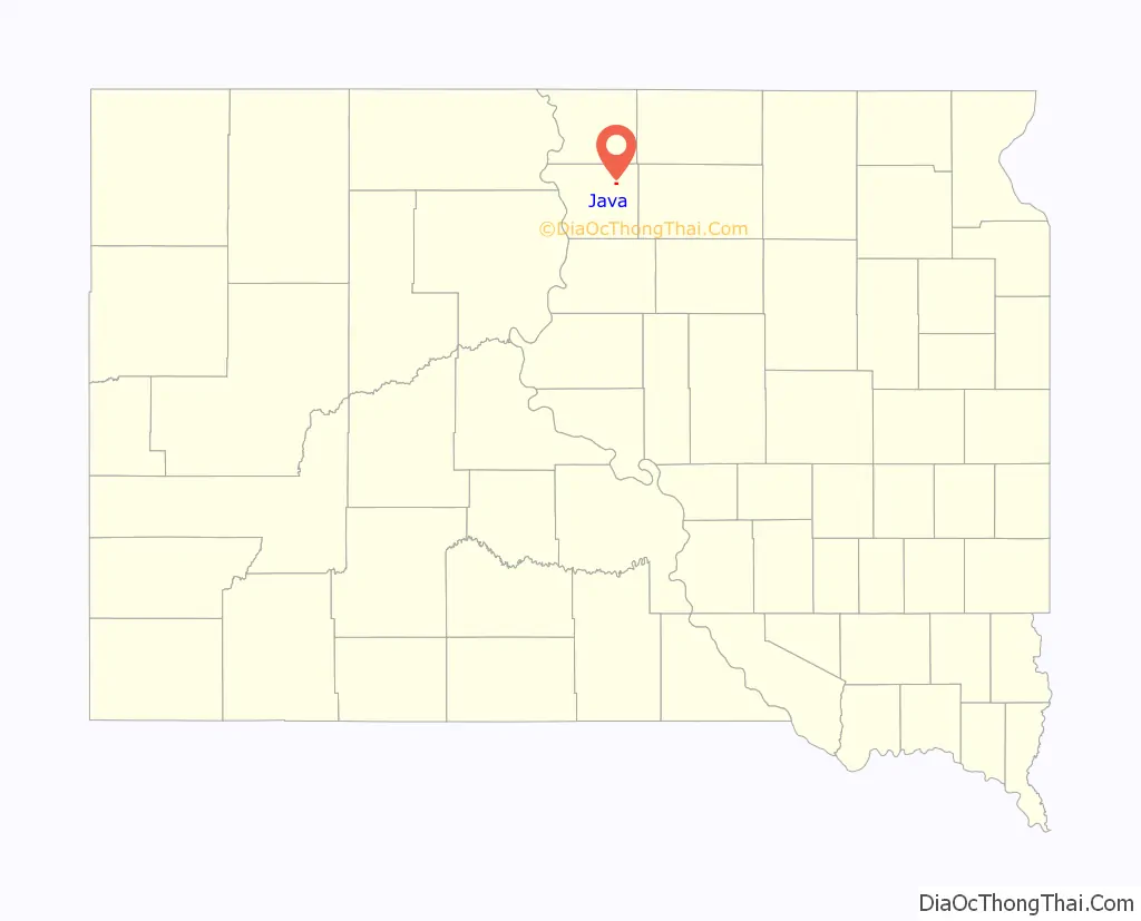
Java location map. Where is Java town?
History
Java was founded in 1900, shortly after the Chicago, Milwaukee & St. Paul Railway Line was extended from Bowdle to the Missouri River. The village was incorporated into a town by election in 1903 after survey of the townsite by Surveyor George Merriman of Bowdle on September 5 of that year.
Many of the first homesteaders were of German, Russian, Dutch, English, and Hungarian ancestry. The Java Herald, the first newspaper serving the town, was established in 1903 by Carl F. Clement, and was printed in both English and German.
In 1904, the first municipal building, a jail, was erected, in addition to gravel streets and an engine house equipped with a fire engine, hoses, and other related items. Additionally, the Dakota Central Telephone Company installed a telephone booth and switchboard at The Java House, Java’s first hotel, founded in 1900 by H. A. Taylor. Later, wooden sidewalks, a water reservoir, a town hall, a town well, and a windmill (to grind grain) were added. These additions were paid by warrants issued by the town, and in 1906 a $2,000 bond issue was passed to remove the debt.
In 1905, the Kupp Brothers, J. C. and George, supervised the installation of a more permanent telephone system in the town for the Dakota Telephone Co.
By 1907, the town possessed fire protection, a cemetery association, water supply, municipal buildings, and improved telephone facilities. Another addition to the town was made when the Milwaukee Land Company had their property north of the railroad track surveyed and added.
From 1908-1909, the railroad company rerouted its track, passing north of the town by one-half mile. The citizens received a proposal from railroad officials to move the town north, however, this proposal was refused, and the town was served thereafter by a spur line constructed by the company.
By 1913, the town had a Catholic, a Presbyterian, a German Lutheran, and a German Congregational Church. In 1915, the wooden sidewalks along Main street were removed and replaced with cement sidewalks. Later that year, the town hall was remodeled, the jail was moved, a bell tower was constructed. In 1916, a municipal light plant was constructed. In 1921, a schoolhouse was constructed, and at this time Java was incorporated from a town into a city, and adopted the Mayor-Alderman form of government, the first mayor under this new system being Carl F. Clement. In 1939, a Public Works Administration project was begun, creating a waterworks system to include both commercial and private users.
In 1947, the city saw the creation of a park board that established a city park just west of the school house.
Java High School
In 1901, the first term of school was help in a building that had been relocated into town, serving twenty-three students, ranging in age from five to eighteen years. In 1903, a frame school building was built on the site two blocks east of Main Street and was used until 1921, when the fireproof brick schoolhouse was constructed.
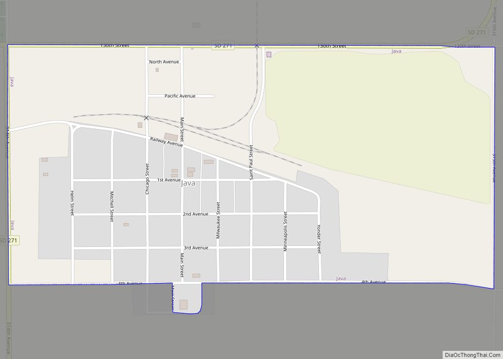
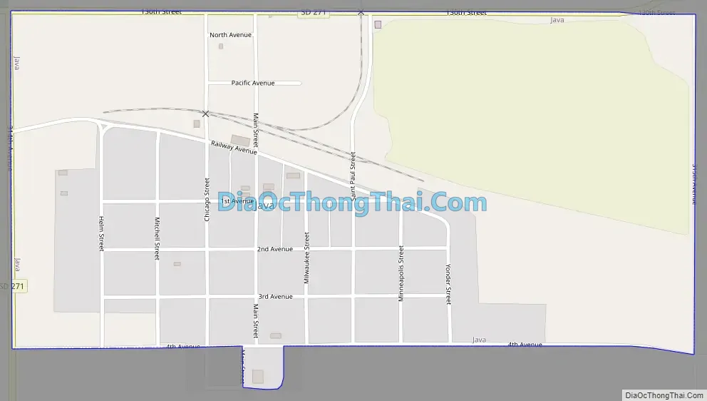
Java Road Map
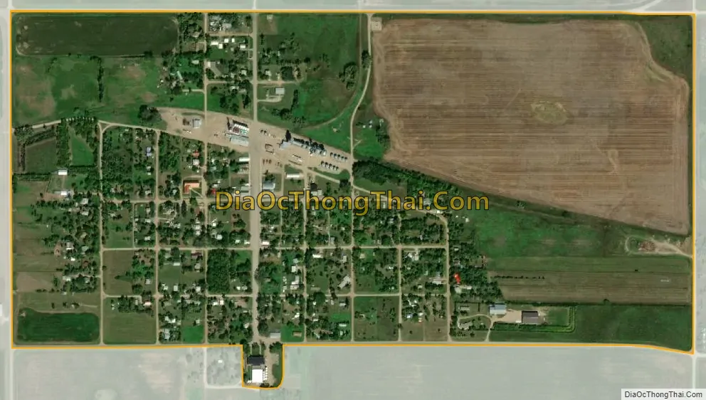
Java city Satellite Map
Geography
Java is located at 45°30′10″N 99°53′10″W / 45.50278°N 99.88611°W / 45.50278; -99.88611 (45.502870, -99.886049).
According to the United States Census Bureau, the town has a total area of 0.49 square miles (1.27 km), all land.
Java has been assigned the ZIP code 57452 and the FIPS place code 32460.
See also
Map of South Dakota State and its subdivision:- Aurora
- Beadle
- Bennett
- Bon Homme
- Brookings
- Brown
- Brule
- Buffalo
- Butte
- Campbell
- Charles Mix
- Clark
- Clay
- Codington
- Corson
- Custer
- Davison
- Day
- Deuel
- Dewey
- Douglas
- Edmunds
- Fall River
- Faulk
- Grant
- Gregory
- Haakon
- Hamlin
- Hand
- Hanson
- Harding
- Hughes
- Hutchinson
- Hyde
- Jackson
- Jerauld
- Jones
- Kingsbury
- Lake
- Lawrence
- Lincoln
- Lyman
- Marshall
- McCook
- McPherson
- Meade
- Mellette
- Miner
- Minnehaha
- Moody
- Pennington
- Perkins
- Potter
- Roberts
- Sanborn
- Shannon
- Spink
- Stanley
- Sully
- Todd
- Tripp
- Turner
- Union
- Walworth
- Yankton
- Ziebach
- Alabama
- Alaska
- Arizona
- Arkansas
- California
- Colorado
- Connecticut
- Delaware
- District of Columbia
- Florida
- Georgia
- Hawaii
- Idaho
- Illinois
- Indiana
- Iowa
- Kansas
- Kentucky
- Louisiana
- Maine
- Maryland
- Massachusetts
- Michigan
- Minnesota
- Mississippi
- Missouri
- Montana
- Nebraska
- Nevada
- New Hampshire
- New Jersey
- New Mexico
- New York
- North Carolina
- North Dakota
- Ohio
- Oklahoma
- Oregon
- Pennsylvania
- Rhode Island
- South Carolina
- South Dakota
- Tennessee
- Texas
- Utah
- Vermont
- Virginia
- Washington
- West Virginia
- Wisconsin
- Wyoming