Kimball is a city in Brule County, South Dakota, United States. The population was 572 at the 2020 census.
| Name: | Kimball city |
|---|---|
| LSAD Code: | 25 |
| LSAD Description: | city (suffix) |
| State: | South Dakota |
| County: | Brule County |
| Incorporated: | 1889 |
| Elevation: | 1,788 ft (545 m) |
| Total Area: | 3.44 sq mi (8.90 km²) |
| Land Area: | 3.44 sq mi (8.90 km²) |
| Water Area: | 0.00 sq mi (0.00 km²) |
| Total Population: | 572 |
| Population Density: | 166.42/sq mi (64.26/km²) |
| ZIP code: | 57355 |
| Area code: | 605 |
| FIPS code: | 4633980 |
| GNISfeature ID: | 1265268 |
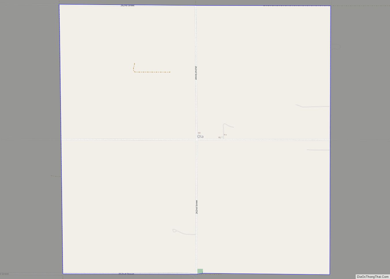
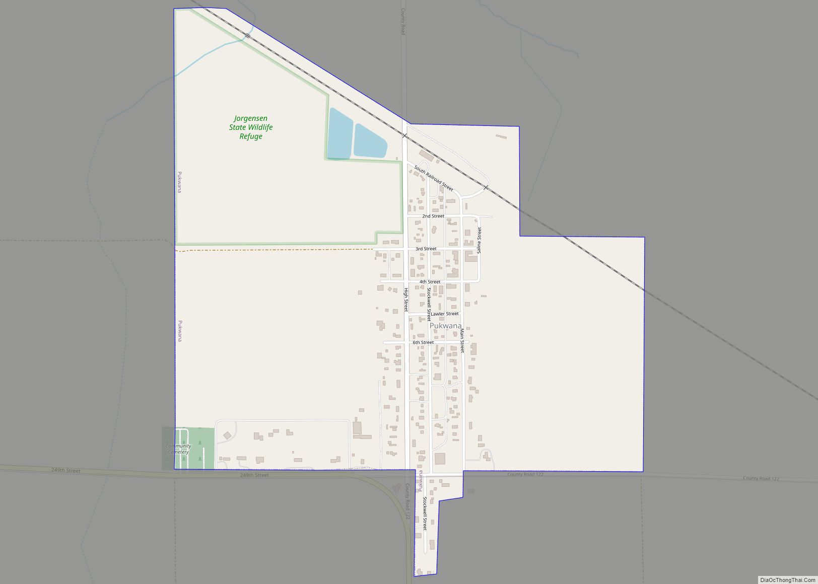
Online Interactive Map
Click on ![]() to view map in "full screen" mode.
to view map in "full screen" mode.
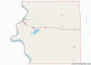
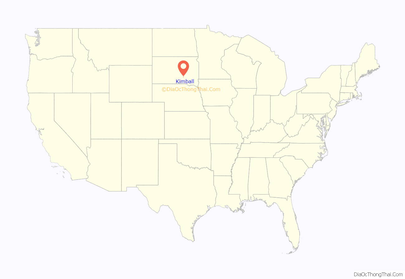
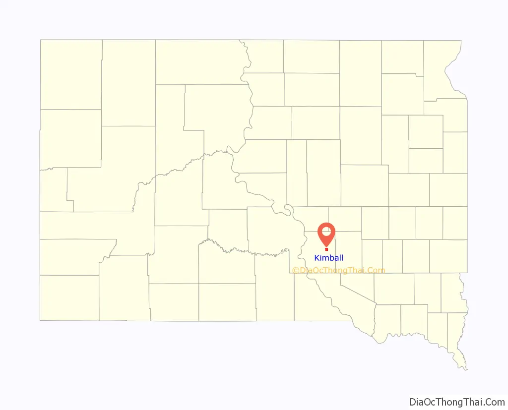
Kimball location map. Where is Kimball city?
History
Kimball was first known as Stake 48 on the Chicago, Milwaukee and St. Paul Railroad line going west out of Mitchell. In 1880, the first homestead claims were made in the vicinity of Stake 48. Kimball was organized as a village in the spring of 1883. The town was named for J. W. Kimball, a railroad surveyor.
The 1895 Holy Trinity Church is on the National Register of Historic Places.
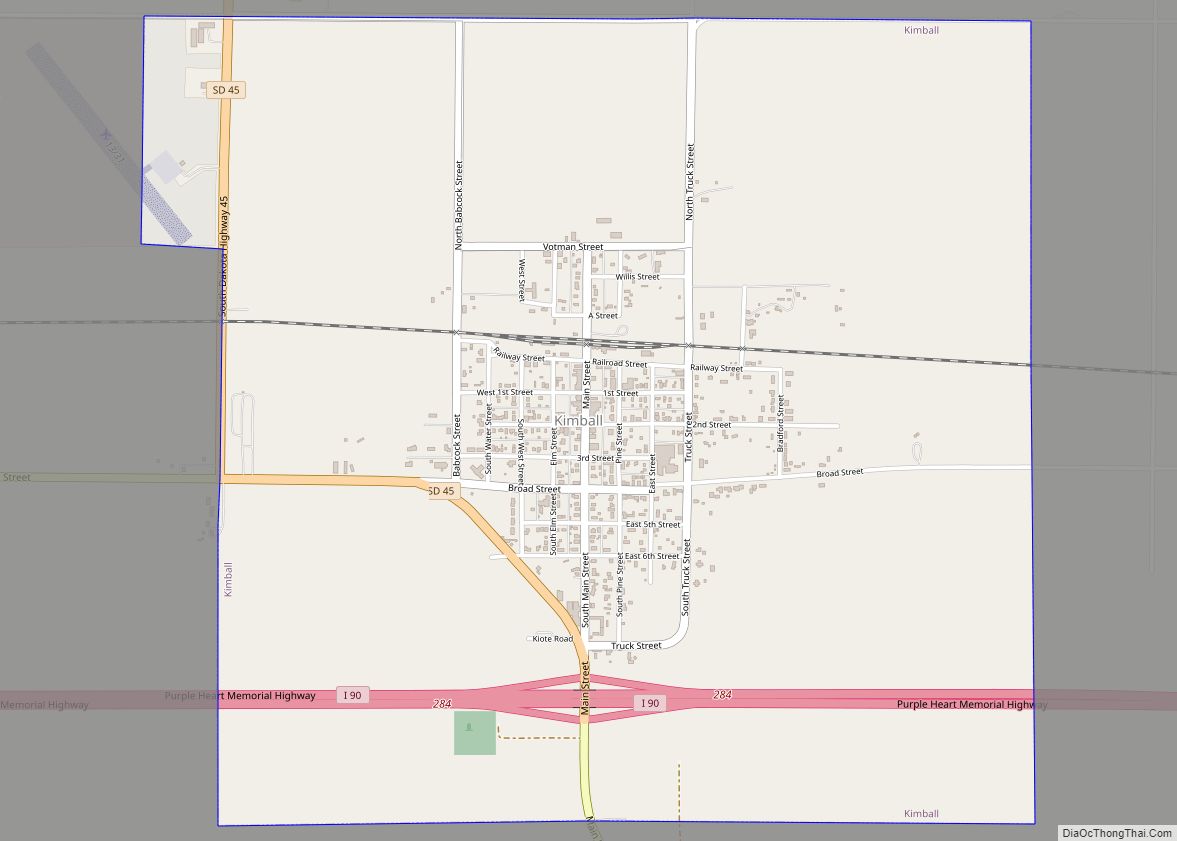
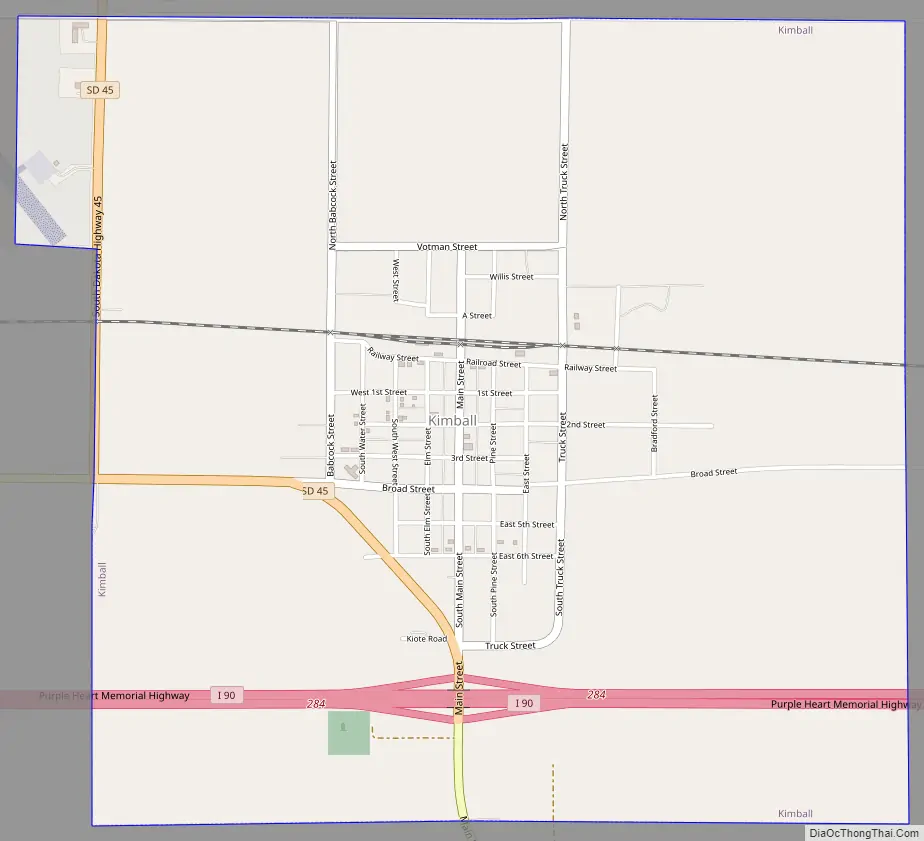
Kimball Road Map
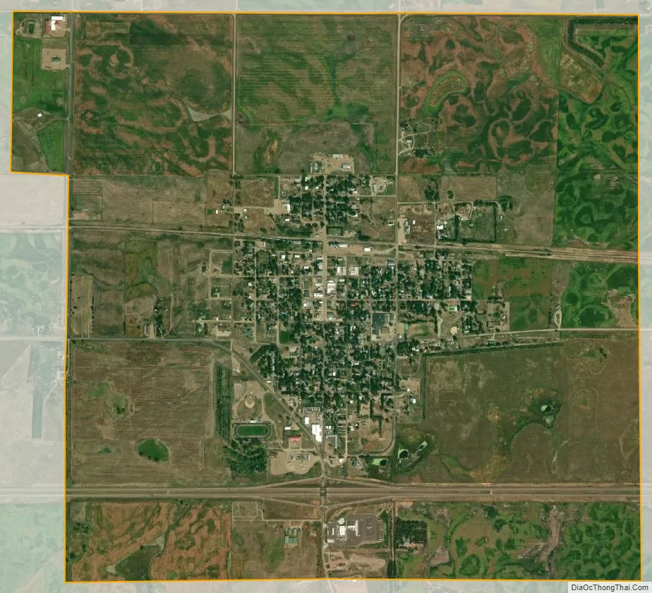
Kimball city Satellite Map
Geography
Kimball is located at 43°44′50″N 98°57′27″W / 43.74722°N 98.95750°W / 43.74722; -98.95750 (43.747136, -98.957491). Kimball lies just north of Interstate 90 at exit 284, the southern terminus of South Dakota Highway 45.
According to the United States Census Bureau, the city has a total area of 3.09 square miles (8.00 km), all land.
Kimball’s ZIP code is 57355 and FIPS place code is 33980.
See also
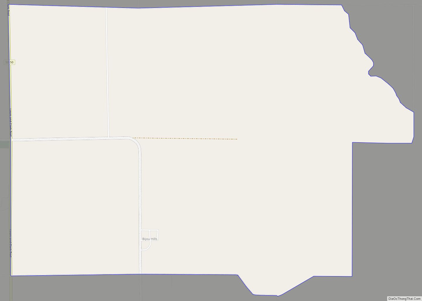
Map of South Dakota State and its subdivision:- Aurora
- Beadle
- Bennett
- Bon Homme
- Brookings
- Brown
- Brule
- Buffalo
- Butte
- Campbell
- Charles Mix
- Clark
- Clay
- Codington
- Corson
- Custer
- Davison
- Day
- Deuel
- Dewey
- Douglas
- Edmunds
- Fall River
- Faulk
- Grant
- Gregory
- Haakon
- Hamlin
- Hand
- Hanson
- Harding
- Hughes
- Hutchinson
- Hyde
- Jackson
- Jerauld
- Jones
- Kingsbury
- Lake
- Lawrence
- Lincoln
- Lyman
- Marshall
- McCook
- McPherson
- Meade
- Mellette
- Miner
- Minnehaha
- Moody
- Pennington
- Perkins
- Potter
- Roberts
- Sanborn
- Shannon
- Spink
- Stanley
- Sully
- Todd
- Tripp
- Turner
- Union
- Walworth
- Yankton
- Ziebach
- Alabama
- Alaska
- Arizona
- Arkansas
- California
- Colorado
- Connecticut
- Delaware
- District of Columbia
- Florida
- Georgia
- Hawaii
- Idaho
- Illinois
- Indiana
- Iowa
- Kansas
- Kentucky
- Louisiana
- Maine
- Maryland
- Massachusetts
- Michigan
- Minnesota
- Mississippi
- Missouri
- Montana
- Nebraska
- Nevada
- New Hampshire
- New Jersey
- New Mexico
- New York
- North Carolina
- North Dakota
- Ohio
- Oklahoma
- Oregon
- Pennsylvania
- Rhode Island
- South Carolina
- South Dakota
- Tennessee
- Texas
- Utah
- Vermont
- Virginia
- Washington
- West Virginia
- Wisconsin
- Wyoming