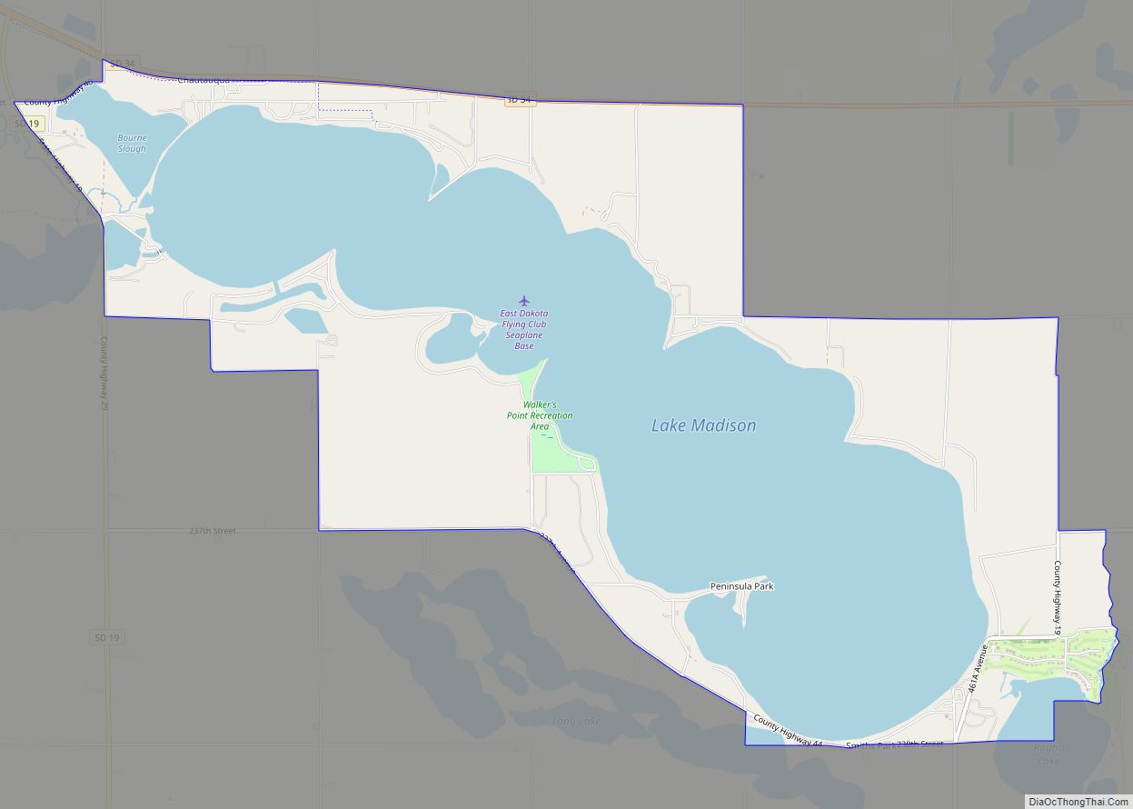
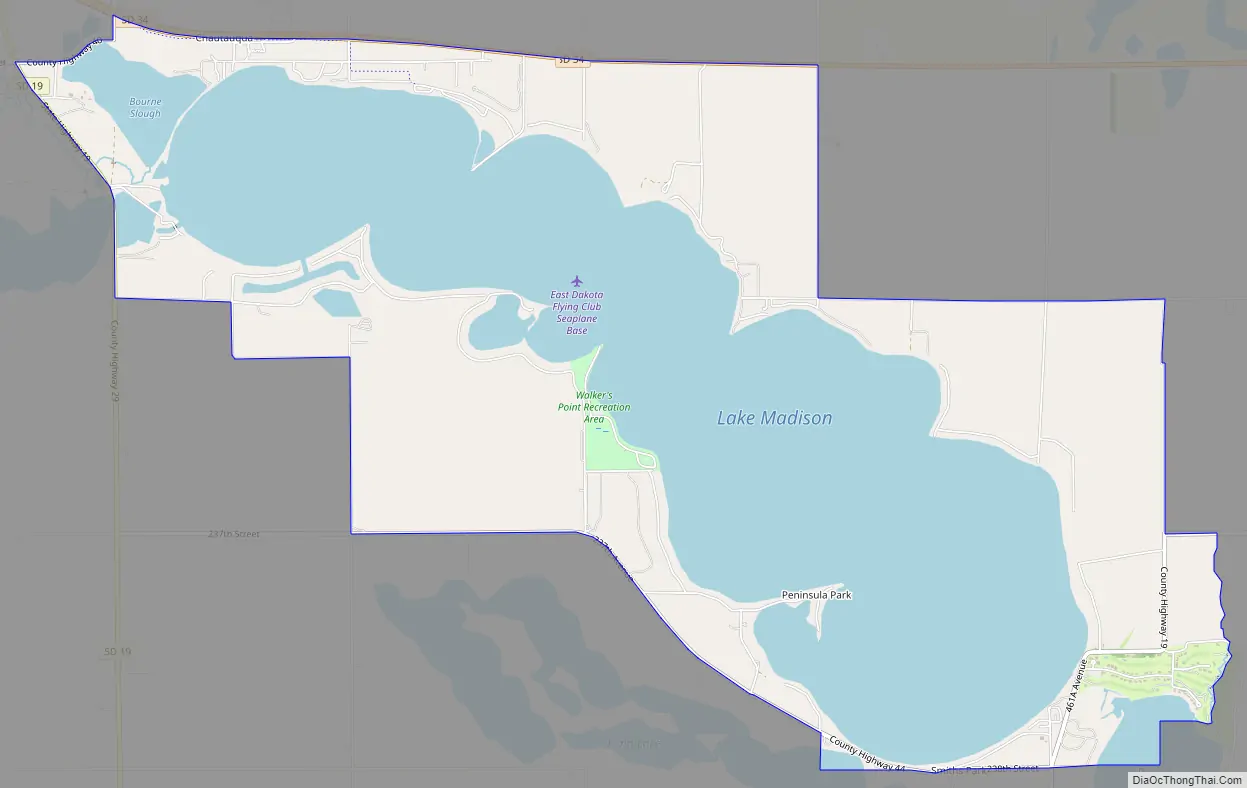
Lake Madison is an unincorporated community and census-designated place in Lake County, South Dakota, United States. Its population was 829 as of the 2020 census. The community is located on the shores of Lake Madison.
| Name: | Lake Madison CDP |
|---|---|
| LSAD Code: | 57 |
| LSAD Description: | CDP (suffix) |
| State: | South Dakota |
| County: | Lake County |
| Elevation: | 1,604 ft (489 m) |
| Total Area: | 9.10 sq mi (23.58 km²) |
| Land Area: | 4.72 sq mi (12.23 km²) |
| Water Area: | 4.38 sq mi (11.35 km²) |
| Total Population: | 829 |
| Population Density: | 175.60/sq mi (67.80/km²) |
| Area code: | 605 |
| FIPS code: | 4635430 |
| GNISfeature ID: | 2584557 |
Online Interactive Map
Click on ![]() to view map in "full screen" mode.
to view map in "full screen" mode.
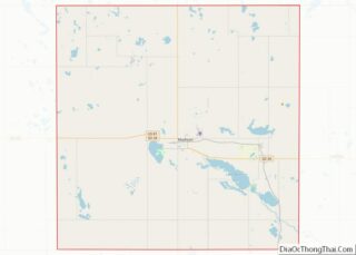
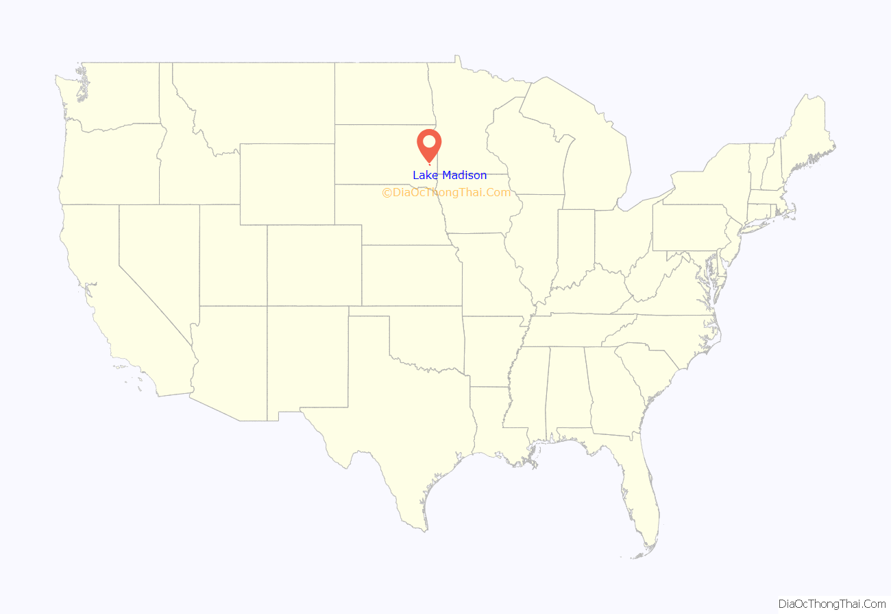
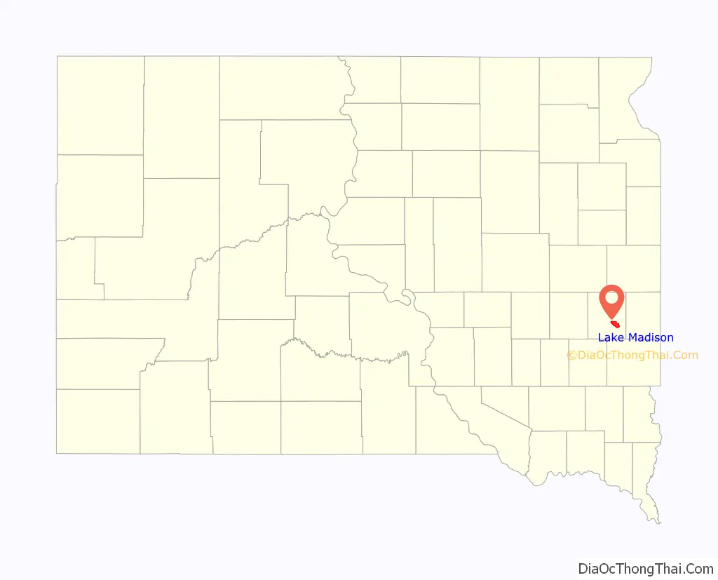
Lake Madison location map. Where is Lake Madison CDP?
Lake Madison Road Map
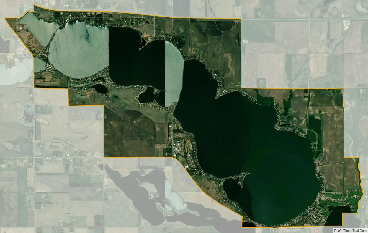
Lake Madison city Satellite Map
Geography
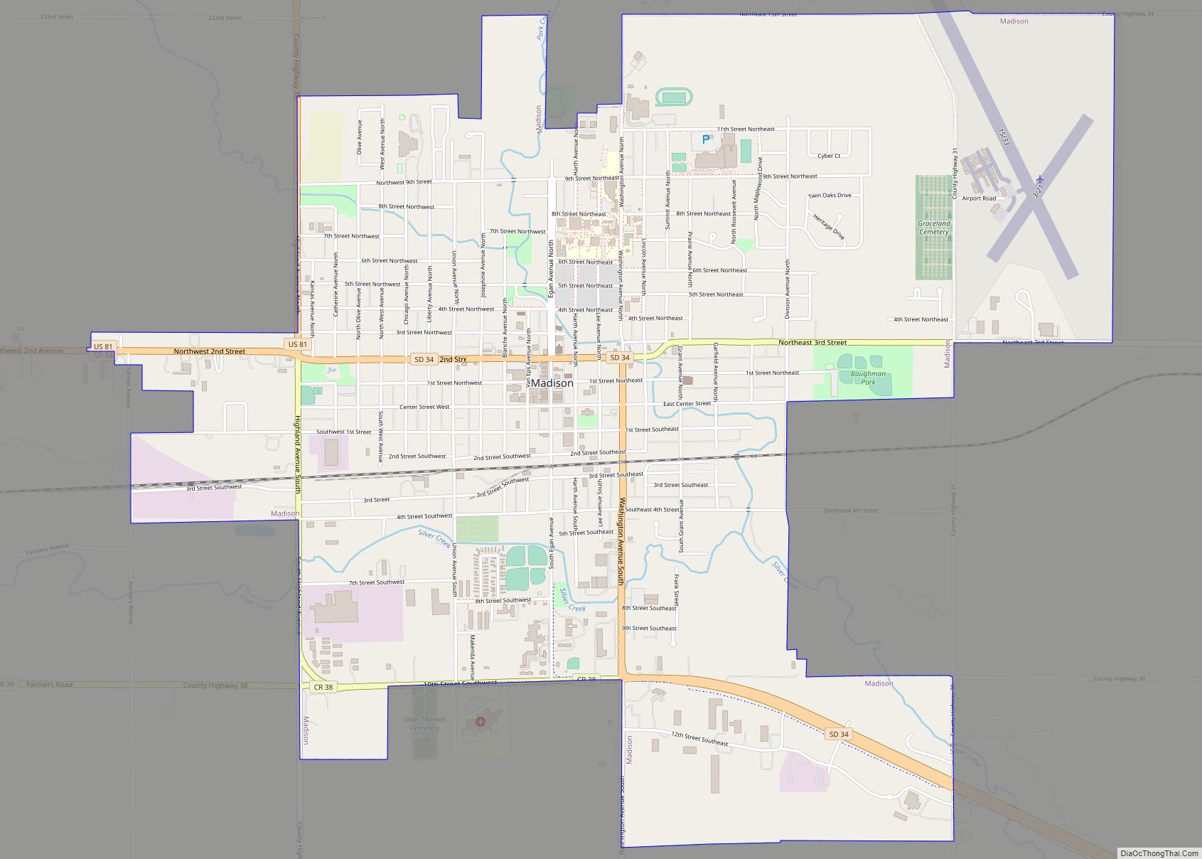
The community is in southeastern Lake County, surrounding Lake Madison. The CDP is 3 to 10 miles (5 to 16 km) southeast of Madison, the county seat. South Dakota Highway 34 forms the northern edge of the CDP. The highway leads west into Madison and east 13 miles (21 km) to Interstate 29.
According to the U.S. Census Bureau, the community has an area of 9.104 square miles (23.58 km); 4.749 square miles (12.30 km) of its area is land, and 4.355 square miles (11.28 km) is water. Lake Madison drains to the southeast, into Round Lake and then Brant Lake, and is part of the Big Sioux River watershed.
See also
Map of South Dakota State and its subdivision:- Aurora
- Beadle
- Bennett
- Bon Homme
- Brookings
- Brown
- Brule
- Buffalo
- Butte
- Campbell
- Charles Mix
- Clark
- Clay
- Codington
- Corson
- Custer
- Davison
- Day
- Deuel
- Dewey
- Douglas
- Edmunds
- Fall River
- Faulk
- Grant
- Gregory
- Haakon
- Hamlin
- Hand
- Hanson
- Harding
- Hughes
- Hutchinson
- Hyde
- Jackson
- Jerauld
- Jones
- Kingsbury
- Lake
- Lawrence
- Lincoln
- Lyman
- Marshall
- McCook
- McPherson
- Meade
- Mellette
- Miner
- Minnehaha
- Moody
- Pennington
- Perkins
- Potter
- Roberts
- Sanborn
- Shannon
- Spink
- Stanley
- Sully
- Todd
- Tripp
- Turner
- Union
- Walworth
- Yankton
- Ziebach
- Alabama
- Alaska
- Arizona
- Arkansas
- California
- Colorado
- Connecticut
- Delaware
- District of Columbia
- Florida
- Georgia
- Hawaii
- Idaho
- Illinois
- Indiana
- Iowa
- Kansas
- Kentucky
- Louisiana
- Maine
- Maryland
- Massachusetts
- Michigan
- Minnesota
- Mississippi
- Missouri
- Montana
- Nebraska
- Nevada
- New Hampshire
- New Jersey
- New Mexico
- New York
- North Carolina
- North Dakota
- Ohio
- Oklahoma
- Oregon
- Pennsylvania
- Rhode Island
- South Carolina
- South Dakota
- Tennessee
- Texas
- Utah
- Vermont
- Virginia
- Washington
- West Virginia
- Wisconsin
- Wyoming