Lebanon is a town in Potter County, South Dakota, United States. The population was 33 at the 2020 census.
| Name: | Lebanon town |
|---|---|
| LSAD Code: | 43 |
| LSAD Description: | town (suffix) |
| State: | South Dakota |
| County: | Potter County |
| Incorporated: | 1917 |
| Elevation: | 1,952 ft (595 m) |
| Total Area: | 0.53 sq mi (1.37 km²) |
| Land Area: | 0.53 sq mi (1.37 km²) |
| Water Area: | 0.00 sq mi (0.00 km²) |
| Total Population: | 33 |
| Population Density: | 62.26/sq mi (24.02/km²) |
| ZIP code: | 57455 |
| Area code: | 605 |
| FIPS code: | 4636260 |
| GNISfeature ID: | 1265663 |
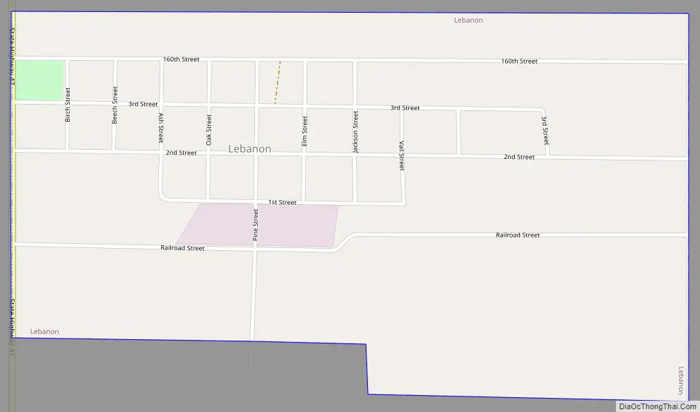
Online Interactive Map
Click on ![]() to view map in "full screen" mode.
to view map in "full screen" mode.
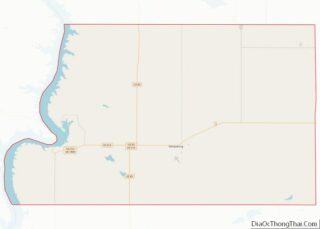
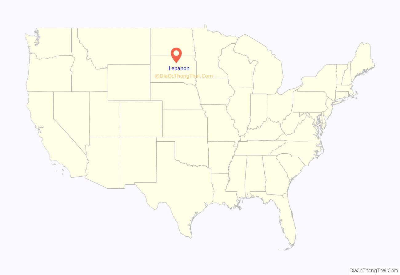
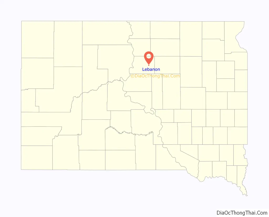
Lebanon location map. Where is Lebanon town?
History
Lebanon was first called Webb, and under the latter name was platted in 1887. The present name most likely is after Lebanon, New York, although some hold it is named after Mount Lebanon in Western Asia.
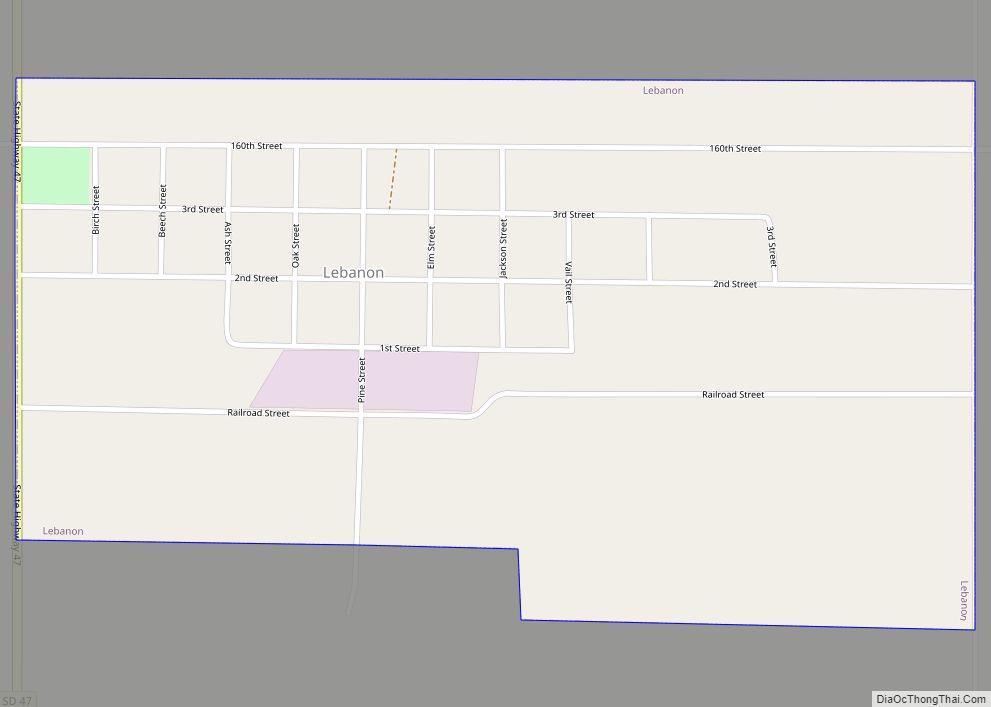
Lebanon Road Map
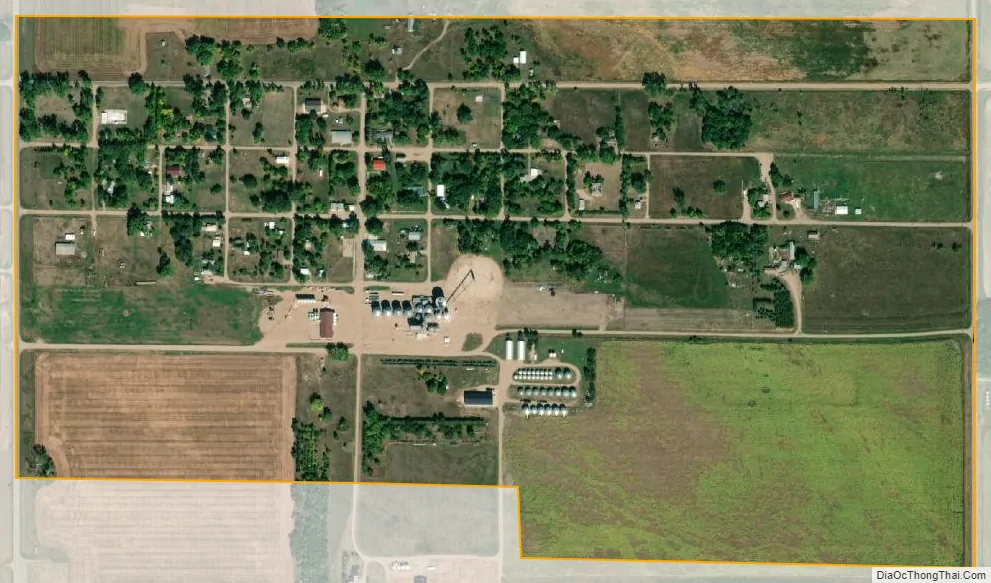
Lebanon city Satellite Map
Geography
According to the United States Census Bureau, the town has a total area of 0.53 square miles (1.37 km), all land.
Lebanon has been assigned the ZIP code 57455 and the FIPS place code 36260.
See also
Map of South Dakota State and its subdivision:- Aurora
- Beadle
- Bennett
- Bon Homme
- Brookings
- Brown
- Brule
- Buffalo
- Butte
- Campbell
- Charles Mix
- Clark
- Clay
- Codington
- Corson
- Custer
- Davison
- Day
- Deuel
- Dewey
- Douglas
- Edmunds
- Fall River
- Faulk
- Grant
- Gregory
- Haakon
- Hamlin
- Hand
- Hanson
- Harding
- Hughes
- Hutchinson
- Hyde
- Jackson
- Jerauld
- Jones
- Kingsbury
- Lake
- Lawrence
- Lincoln
- Lyman
- Marshall
- McCook
- McPherson
- Meade
- Mellette
- Miner
- Minnehaha
- Moody
- Pennington
- Perkins
- Potter
- Roberts
- Sanborn
- Shannon
- Spink
- Stanley
- Sully
- Todd
- Tripp
- Turner
- Union
- Walworth
- Yankton
- Ziebach
- Alabama
- Alaska
- Arizona
- Arkansas
- California
- Colorado
- Connecticut
- Delaware
- District of Columbia
- Florida
- Georgia
- Hawaii
- Idaho
- Illinois
- Indiana
- Iowa
- Kansas
- Kentucky
- Louisiana
- Maine
- Maryland
- Massachusetts
- Michigan
- Minnesota
- Mississippi
- Missouri
- Montana
- Nebraska
- Nevada
- New Hampshire
- New Jersey
- New Mexico
- New York
- North Carolina
- North Dakota
- Ohio
- Oklahoma
- Oregon
- Pennsylvania
- Rhode Island
- South Carolina
- South Dakota
- Tennessee
- Texas
- Utah
- Vermont
- Virginia
- Washington
- West Virginia
- Wisconsin
- Wyoming