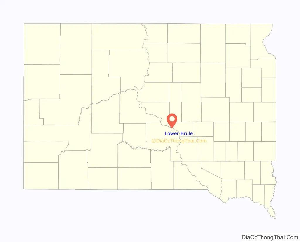
Lower Brule (Lakota: Khulwíčhaša) is a census-designated place (CDP) in Lyman County, South Dakota, United States. The population was 703 at the 2020 census. The community is located within the Lower Brule Indian Reservation, from which it takes its name.
| Name: | Lower Brule CDP |
|---|---|
| LSAD Code: | 57 |
| LSAD Description: | CDP (suffix) |
| State: | South Dakota |
| County: | Lyman County |
| Elevation: | 1,444 ft (440 m) |
| Total Area: | 0.36 sq mi (0.94 km²) |
| Land Area: | 0.36 sq mi (0.94 km²) |
| Water Area: | 0.00 sq mi (0.00 km²) |
| Total Population: | 703 |
| Population Density: | 1,936.64/sq mi (746.87/km²) |
| ZIP code: | 57548 |
| Area code: | 605 |
| FIPS code: | 4639180 |
| GNISfeature ID: | 1256261 |
Online Interactive Map
Click on ![]() to view map in "full screen" mode.
to view map in "full screen" mode.
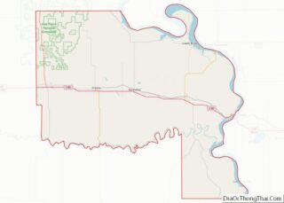
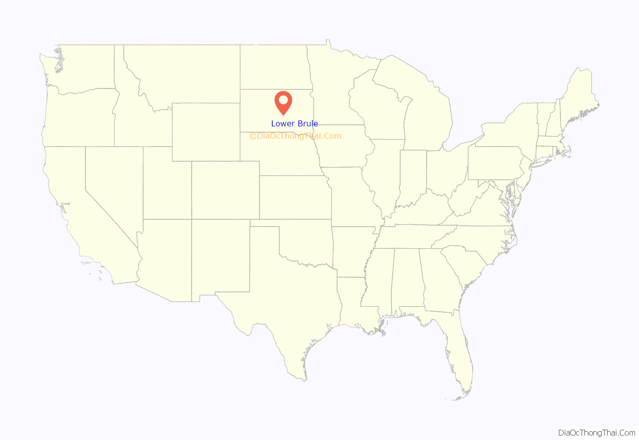
Lower Brule location map. Where is Lower Brule CDP?
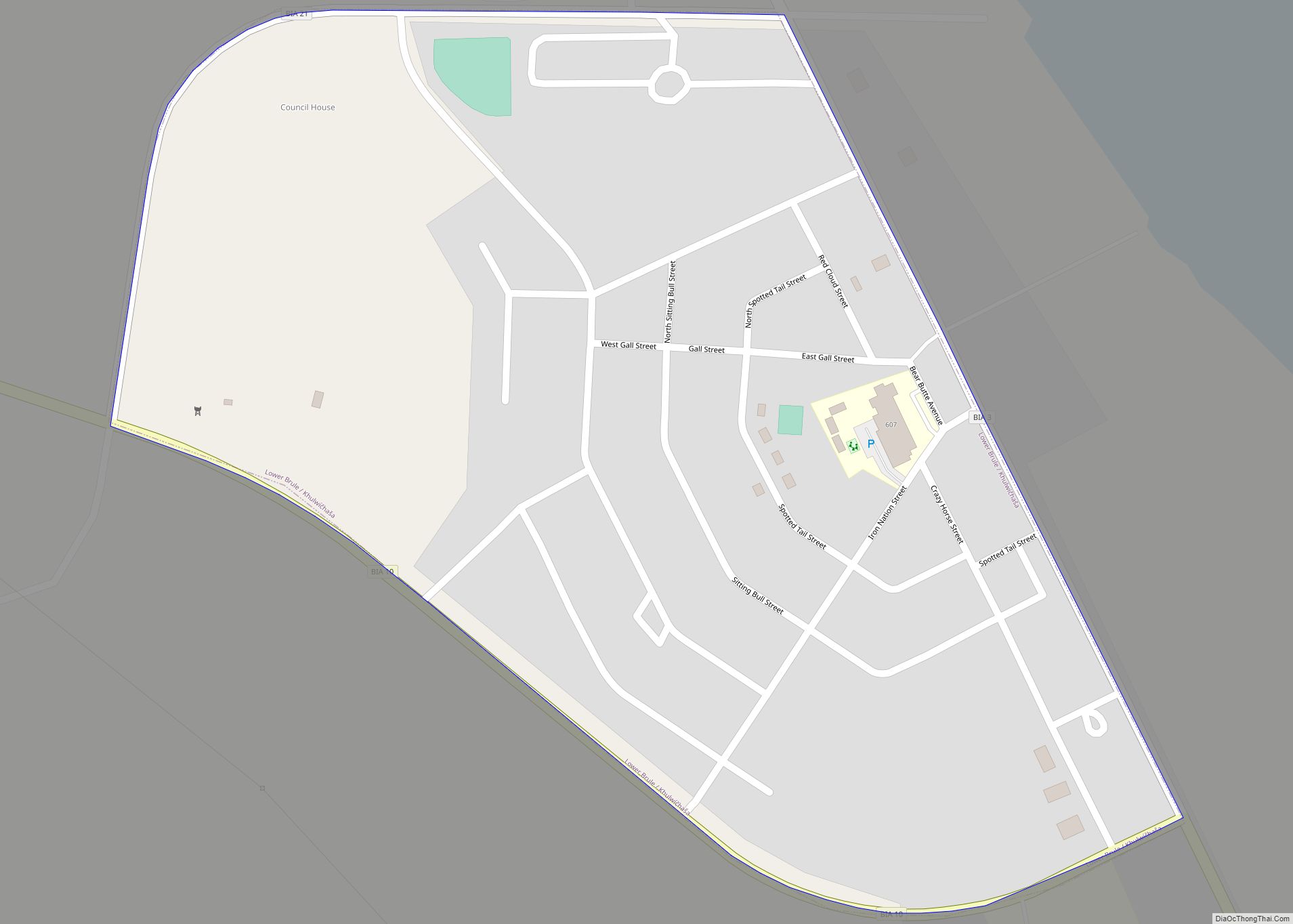
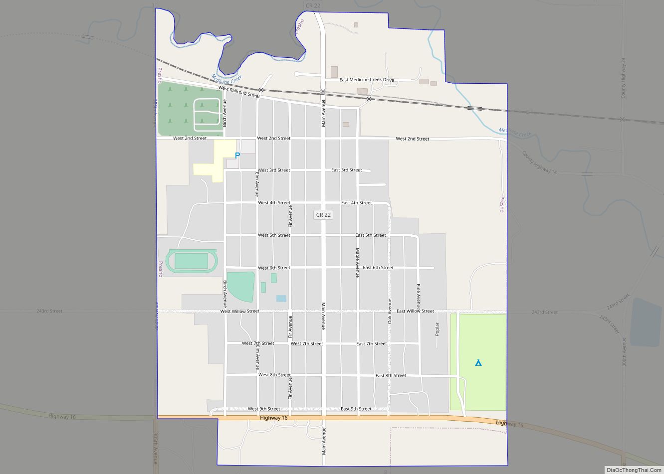
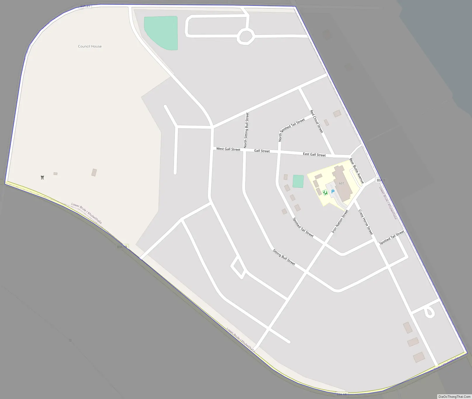
Lower Brule Road Map
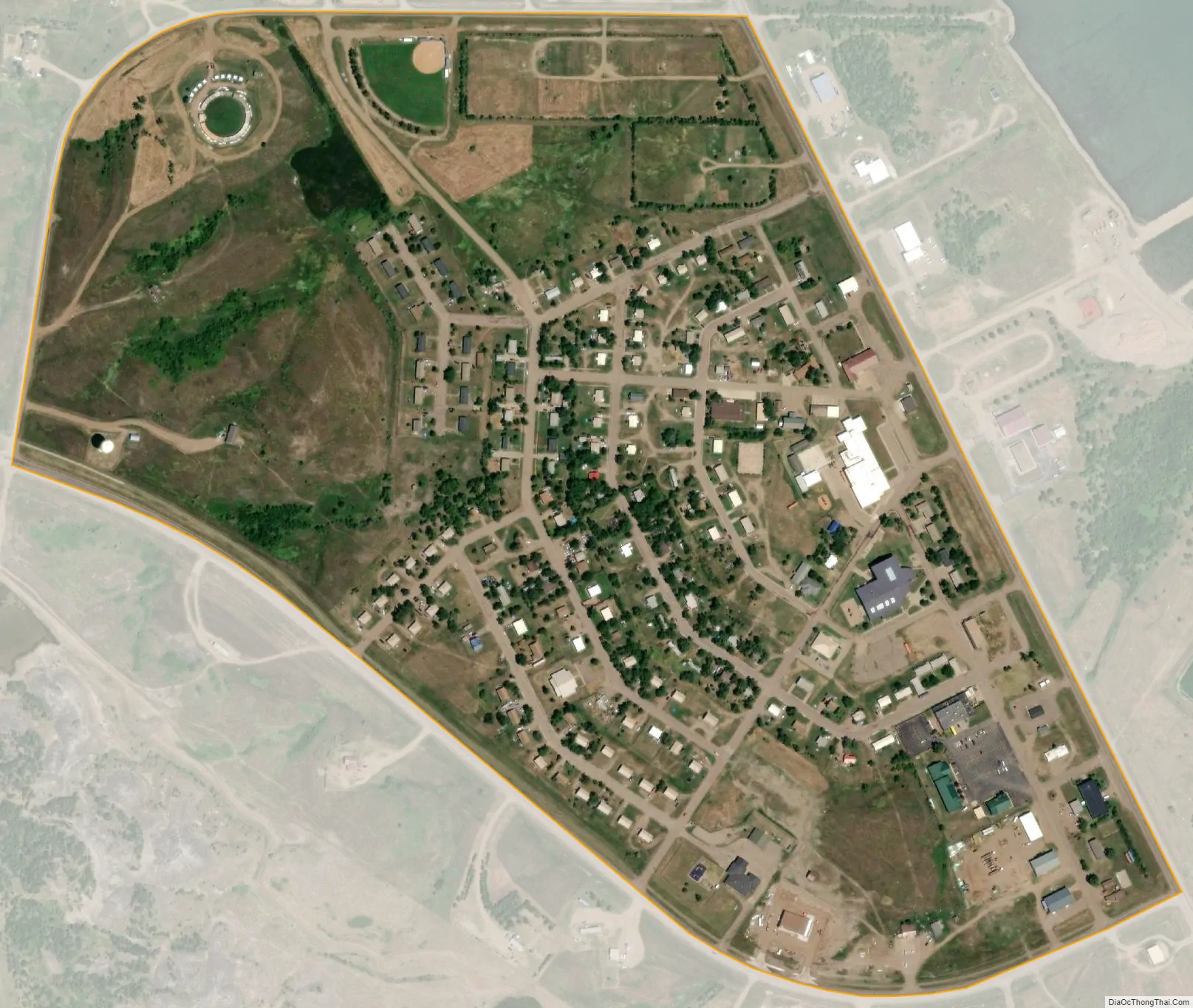
Lower Brule city Satellite Map
Geography
Lower Brule is located in northeastern Lyman County at 44°4′26″N 99°34′51″W / 44.07389°N 99.58083°W / 44.07389; -99.58083 (44.074014, -99.580716), on the west side of Lake Sharpe, a reservoir on the Missouri River.
According to the United States Census Bureau, the CDP has a total area of 0.4 square miles (1.0 km), all land.
Lower Brule has been assigned the ZIP code 57548.
The reservation has a boat landing north of the city where walleyes and other fish can be caught. The local Indian tribe allows non-tribal members to hunt and fish within their reservation boundaries, and there is an abundance of upland game birds to hunt during the fall.
The Lower Brule Sioux tribe operates a popcorn packaging business, and the casino in the community is called the Golden Buffalo.
See also
Map of South Dakota State and its subdivision:- Aurora
- Beadle
- Bennett
- Bon Homme
- Brookings
- Brown
- Brule
- Buffalo
- Butte
- Campbell
- Charles Mix
- Clark
- Clay
- Codington
- Corson
- Custer
- Davison
- Day
- Deuel
- Dewey
- Douglas
- Edmunds
- Fall River
- Faulk
- Grant
- Gregory
- Haakon
- Hamlin
- Hand
- Hanson
- Harding
- Hughes
- Hutchinson
- Hyde
- Jackson
- Jerauld
- Jones
- Kingsbury
- Lake
- Lawrence
- Lincoln
- Lyman
- Marshall
- McCook
- McPherson
- Meade
- Mellette
- Miner
- Minnehaha
- Moody
- Pennington
- Perkins
- Potter
- Roberts
- Sanborn
- Shannon
- Spink
- Stanley
- Sully
- Todd
- Tripp
- Turner
- Union
- Walworth
- Yankton
- Ziebach
- Alabama
- Alaska
- Arizona
- Arkansas
- California
- Colorado
- Connecticut
- Delaware
- District of Columbia
- Florida
- Georgia
- Hawaii
- Idaho
- Illinois
- Indiana
- Iowa
- Kansas
- Kentucky
- Louisiana
- Maine
- Maryland
- Massachusetts
- Michigan
- Minnesota
- Mississippi
- Missouri
- Montana
- Nebraska
- Nevada
- New Hampshire
- New Jersey
- New Mexico
- New York
- North Carolina
- North Dakota
- Ohio
- Oklahoma
- Oregon
- Pennsylvania
- Rhode Island
- South Carolina
- South Dakota
- Tennessee
- Texas
- Utah
- Vermont
- Virginia
- Washington
- West Virginia
- Wisconsin
- Wyoming