Kennebec is a town in and county seat of Lyman County, South Dakota, United States. The population was 281 at the 2020 census.
| Name: | Kennebec town |
|---|---|
| LSAD Code: | 43 |
| LSAD Description: | town (suffix) |
| State: | South Dakota |
| County: | Lyman County |
| Incorporated: | 1909 |
| Elevation: | 1,686 ft (514 m) |
| Total Area: | 0.85 sq mi (2.21 km²) |
| Land Area: | 0.85 sq mi (2.21 km²) |
| Water Area: | 0.00 sq mi (0.00 km²) |
| Total Population: | 281 |
| Population Density: | 329.43/sq mi (127.18/km²) |
| ZIP code: | 57544 |
| Area code: | 605 |
| FIPS code: | 4633580 |
| GNISfeature ID: | 1265266 |
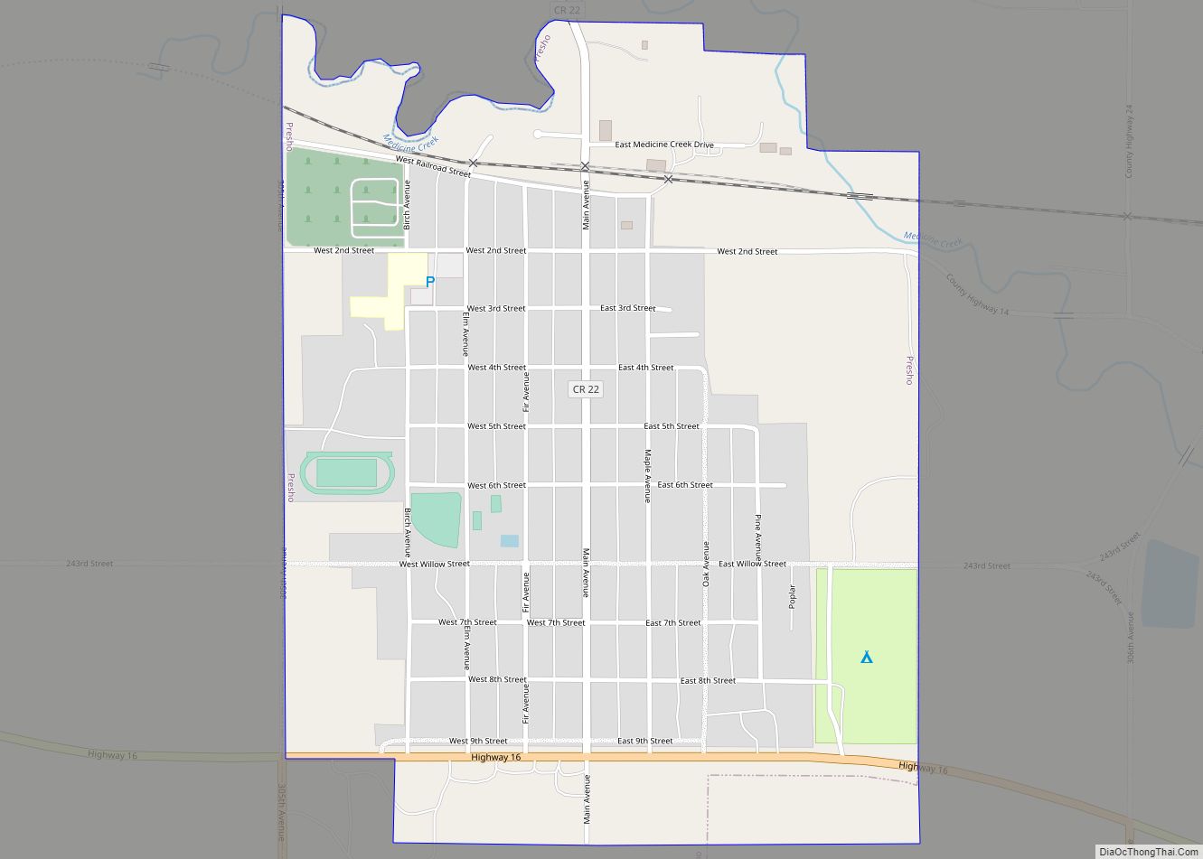
Online Interactive Map
Click on ![]() to view map in "full screen" mode.
to view map in "full screen" mode.
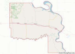
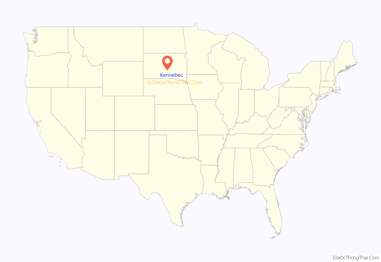
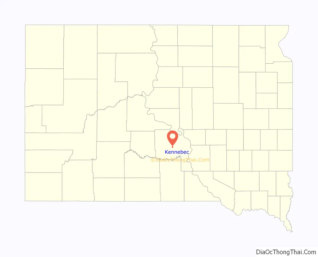
Kennebec location map. Where is Kennebec town?
History
Kennebec was laid out in 1905. Kennebec has served as county seat of Lyman County since 1922. The courthouse dates from 1925.
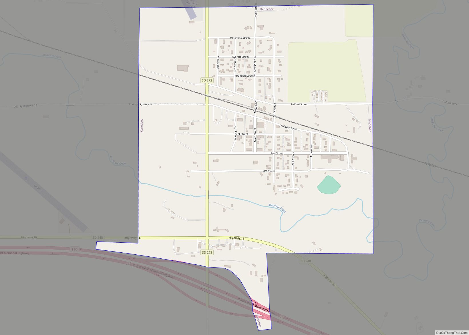
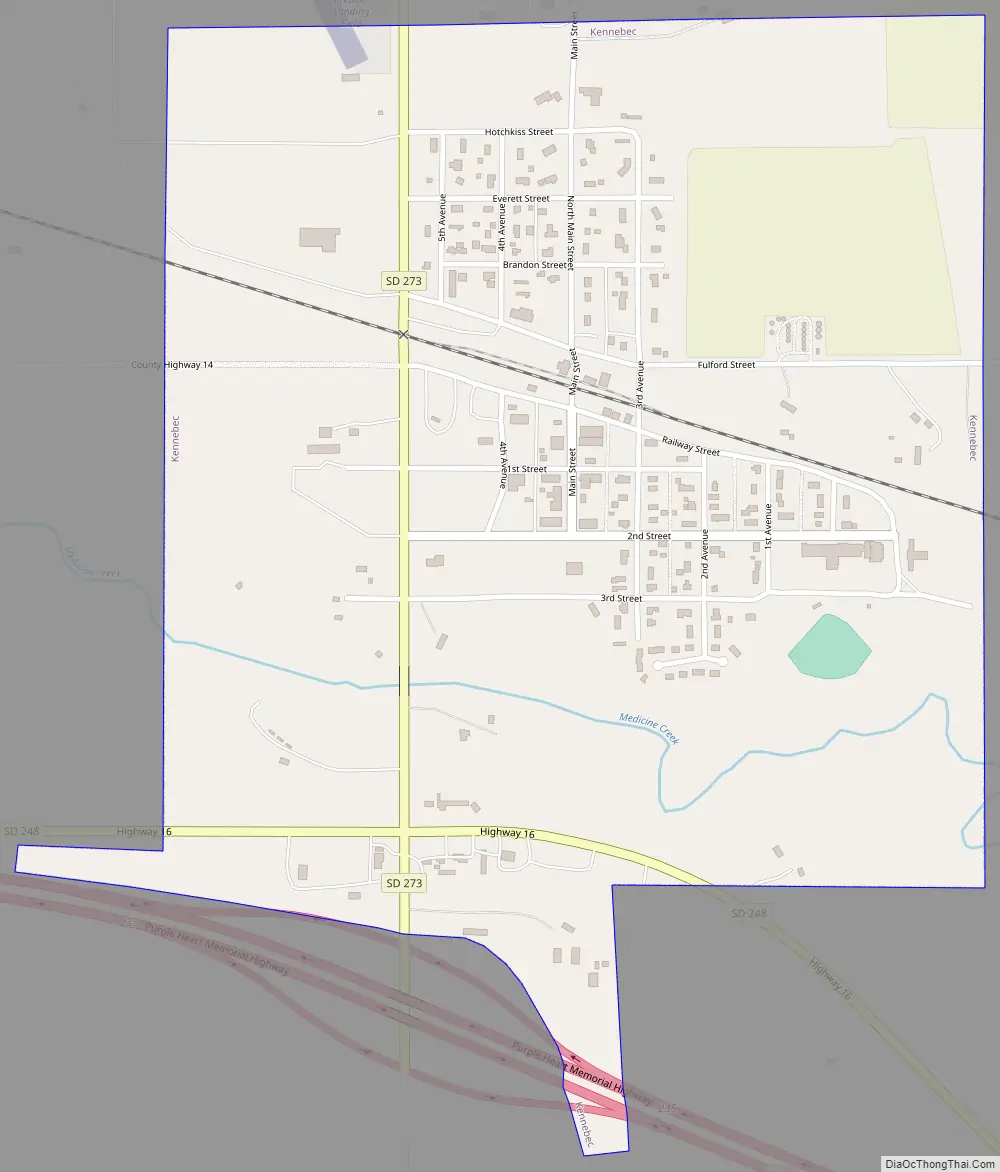
Kennebec Road Map
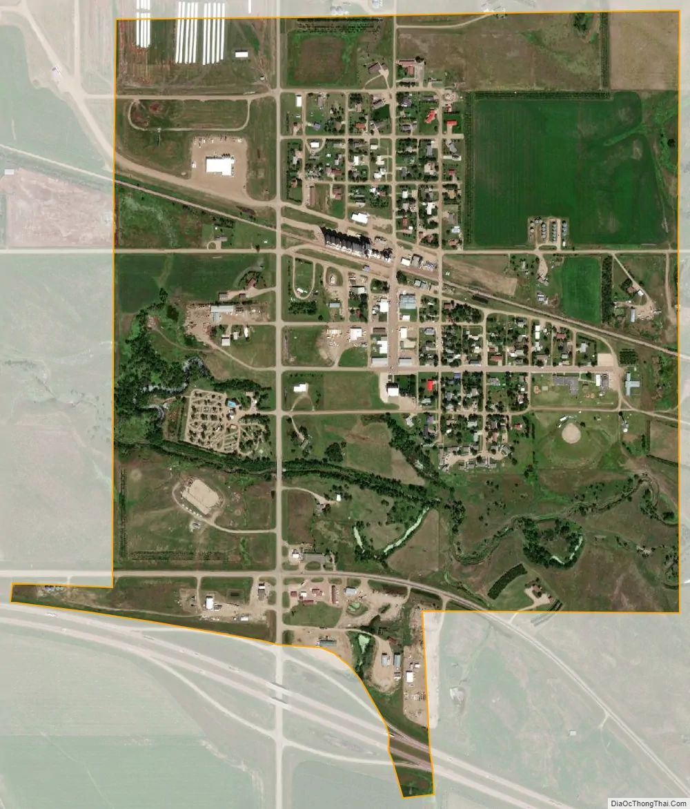
Kennebec city Satellite Map
Geography
Kennebec is located at 43°54′15″N 99°51′46″W / 43.90417°N 99.86278°W / 43.90417; -99.86278 (43.904284, -99.862801).
According to the United States Census Bureau, the town has a total area of 0.85 square miles (2.20 km), all land.
Kennebec has been assigned the ZIP code 57544 and the FIPS place code 33580. Kennebec is located in section of agricultural use area in Kennebec Township. Medicine Creek is about one eighth of a mile south of Kennebec. Kennebec is located about 25 miles (40 km) west-northwest of Chamberlain, 42 miles (68 km) east of Murdo, 89 miles (143 km) west of Mitchell, and 180 miles (290 km) east of Rapid City.
Climate
See also
Map of South Dakota State and its subdivision:- Aurora
- Beadle
- Bennett
- Bon Homme
- Brookings
- Brown
- Brule
- Buffalo
- Butte
- Campbell
- Charles Mix
- Clark
- Clay
- Codington
- Corson
- Custer
- Davison
- Day
- Deuel
- Dewey
- Douglas
- Edmunds
- Fall River
- Faulk
- Grant
- Gregory
- Haakon
- Hamlin
- Hand
- Hanson
- Harding
- Hughes
- Hutchinson
- Hyde
- Jackson
- Jerauld
- Jones
- Kingsbury
- Lake
- Lawrence
- Lincoln
- Lyman
- Marshall
- McCook
- McPherson
- Meade
- Mellette
- Miner
- Minnehaha
- Moody
- Pennington
- Perkins
- Potter
- Roberts
- Sanborn
- Shannon
- Spink
- Stanley
- Sully
- Todd
- Tripp
- Turner
- Union
- Walworth
- Yankton
- Ziebach
- Alabama
- Alaska
- Arizona
- Arkansas
- California
- Colorado
- Connecticut
- Delaware
- District of Columbia
- Florida
- Georgia
- Hawaii
- Idaho
- Illinois
- Indiana
- Iowa
- Kansas
- Kentucky
- Louisiana
- Maine
- Maryland
- Massachusetts
- Michigan
- Minnesota
- Mississippi
- Missouri
- Montana
- Nebraska
- Nevada
- New Hampshire
- New Jersey
- New Mexico
- New York
- North Carolina
- North Dakota
- Ohio
- Oklahoma
- Oregon
- Pennsylvania
- Rhode Island
- South Carolina
- South Dakota
- Tennessee
- Texas
- Utah
- Vermont
- Virginia
- Washington
- West Virginia
- Wisconsin
- Wyoming