Lowry is a town in Walworth County, South Dakota, United States. The population was 10 at the 2020 census. The town is home to Lowry Pilgrim Community Church, Swan Creek Harness Shop, J & C Repair, Karst Service (closed in August 2015) and a fire station. Lowry also has an abandoned school, and a post office, which closed to service in the early 1970s.
With the Missouri River and Swan Lake just a few miles away, and prime habitat for all sorts of wild game, Lowry is a destination for many hunters and fishermen year-round. Mule deer, whitetail deer, antelope, pheasants, grouse, ducks, and geese are commonly hunted in the area.
Lowry was founded in 1907 as a station stop on a branch line of the Minneapolis and St. Louis Railway built that year between Conde and LeBeau, South Dakota. The town was named in honor of a railroad employee. Railway service to Lowry ended in 1940.
| Name: | Lowry town |
|---|---|
| LSAD Code: | 43 |
| LSAD Description: | town (suffix) |
| State: | South Dakota |
| County: | Walworth County |
| Elevation: | 1,864 ft (568 m) |
| Total Area: | 0.25 sq mi (0.66 km²) |
| Land Area: | 0.25 sq mi (0.66 km²) |
| Water Area: | 0.00 sq mi (0.00 km²) |
| Total Population: | 10 |
| Population Density: | 39.53/sq mi (15.27/km²) |
| ZIP code: | 57472 |
| Area code: | 605 |
| FIPS code: | 4639260 |
| GNISfeature ID: | 1256263 |
Online Interactive Map
Click on ![]() to view map in "full screen" mode.
to view map in "full screen" mode.
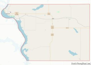
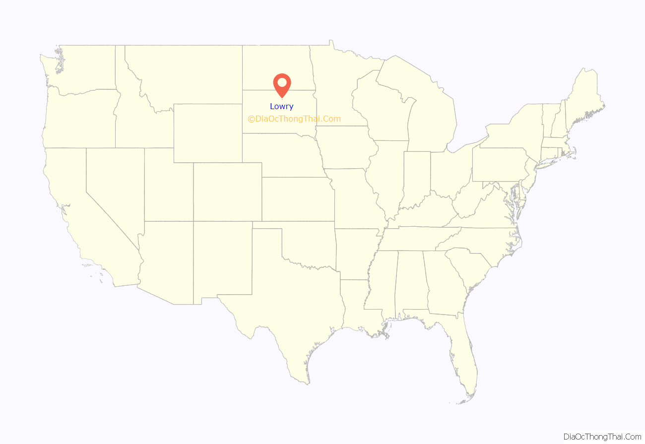
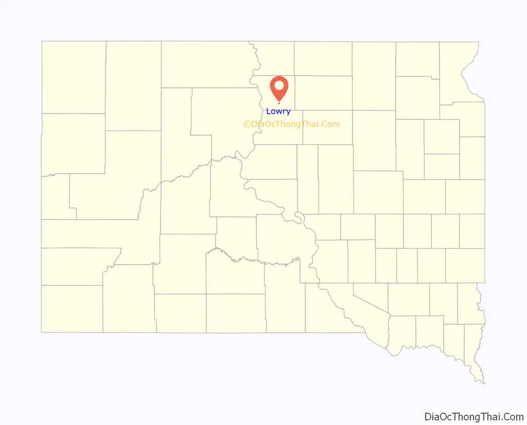
Lowry location map. Where is Lowry town?
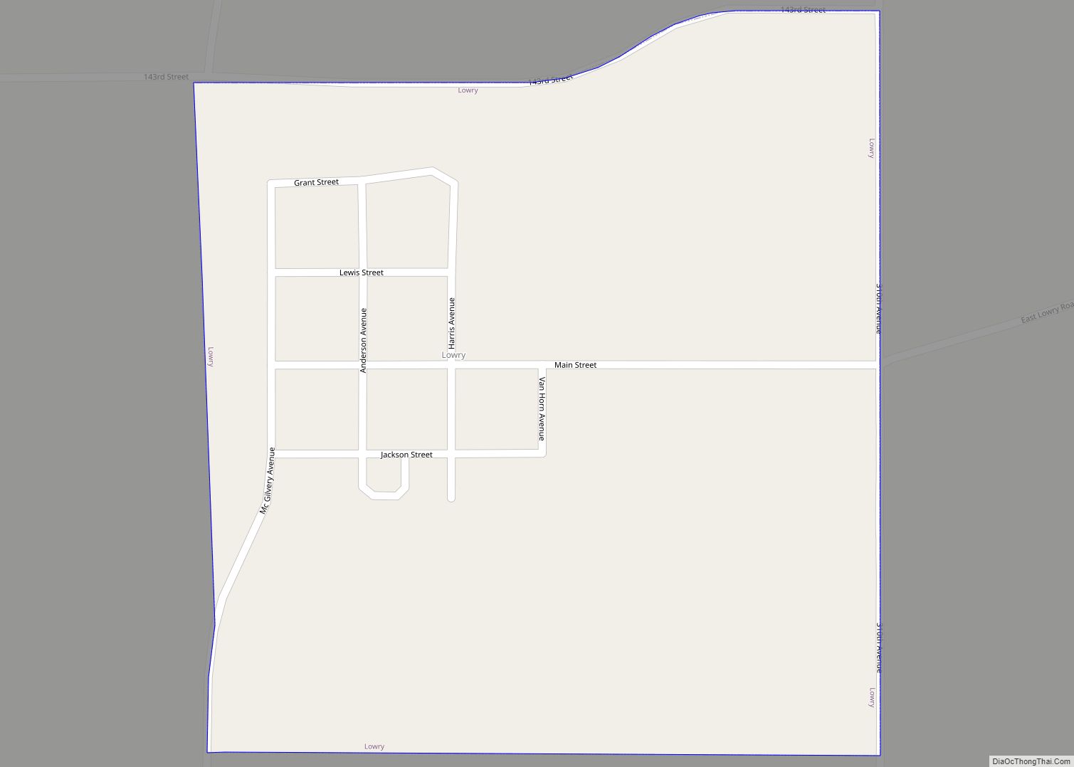
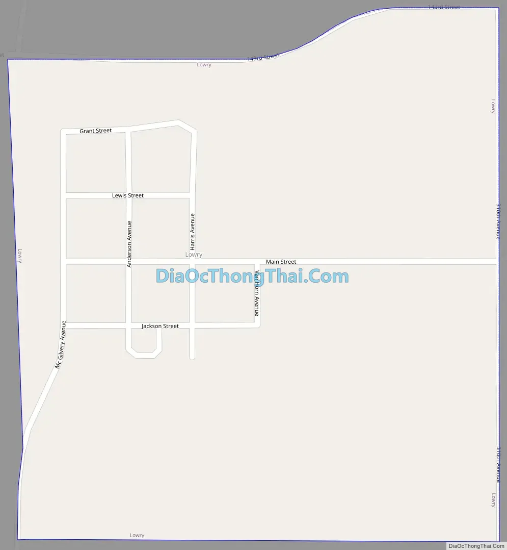
Lowry Road Map
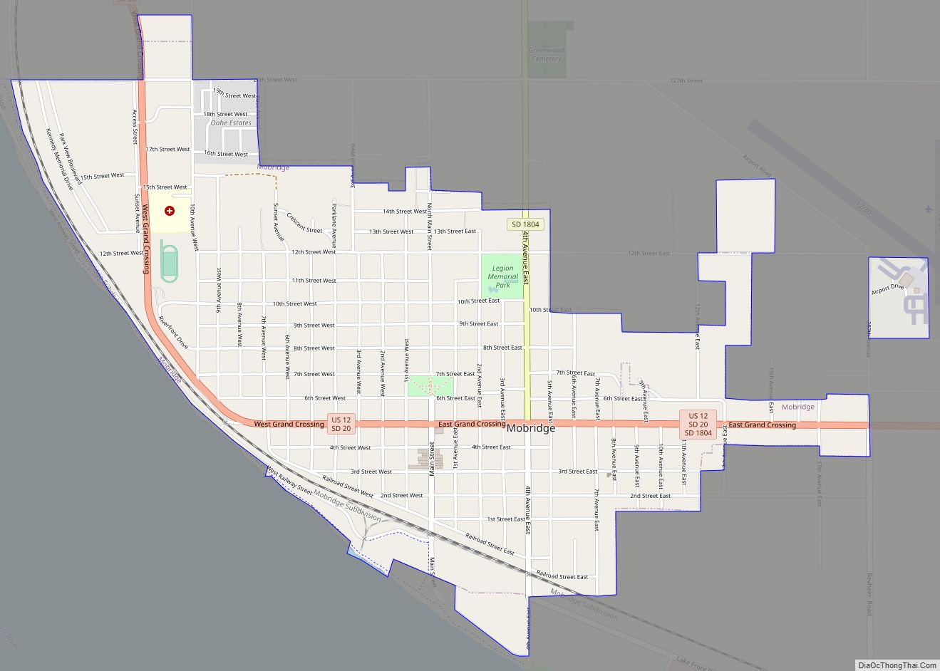
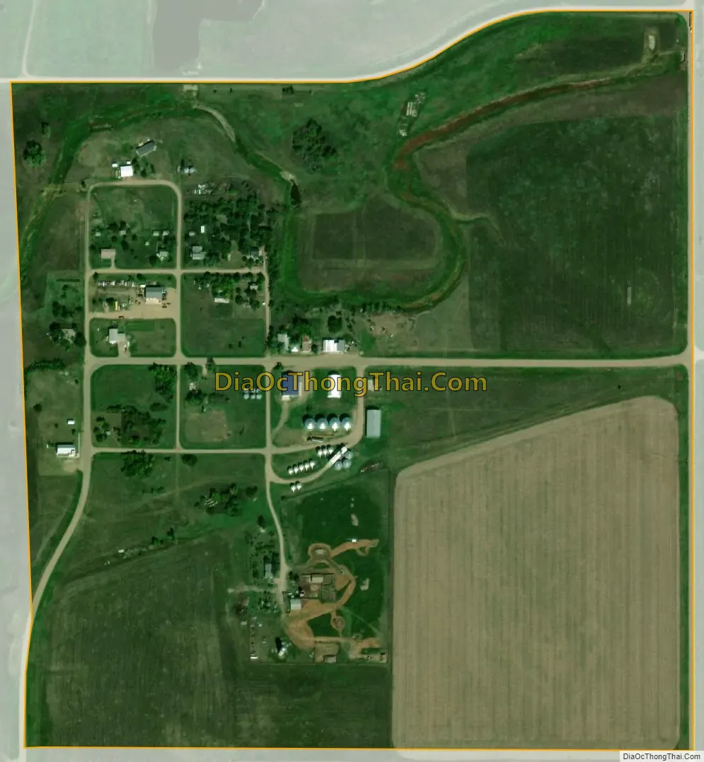
Lowry city Satellite Map
Geography
Lowry is located at 45°18′59″N 99°59′2″W / 45.31639°N 99.98389°W / 45.31639; -99.98389 (45.316348, -99.983763).
According to the United States Census Bureau, the town has a total area of 0.25 square miles (0.65 km), all land.
See also
Map of South Dakota State and its subdivision:- Aurora
- Beadle
- Bennett
- Bon Homme
- Brookings
- Brown
- Brule
- Buffalo
- Butte
- Campbell
- Charles Mix
- Clark
- Clay
- Codington
- Corson
- Custer
- Davison
- Day
- Deuel
- Dewey
- Douglas
- Edmunds
- Fall River
- Faulk
- Grant
- Gregory
- Haakon
- Hamlin
- Hand
- Hanson
- Harding
- Hughes
- Hutchinson
- Hyde
- Jackson
- Jerauld
- Jones
- Kingsbury
- Lake
- Lawrence
- Lincoln
- Lyman
- Marshall
- McCook
- McPherson
- Meade
- Mellette
- Miner
- Minnehaha
- Moody
- Pennington
- Perkins
- Potter
- Roberts
- Sanborn
- Shannon
- Spink
- Stanley
- Sully
- Todd
- Tripp
- Turner
- Union
- Walworth
- Yankton
- Ziebach
- Alabama
- Alaska
- Arizona
- Arkansas
- California
- Colorado
- Connecticut
- Delaware
- District of Columbia
- Florida
- Georgia
- Hawaii
- Idaho
- Illinois
- Indiana
- Iowa
- Kansas
- Kentucky
- Louisiana
- Maine
- Maryland
- Massachusetts
- Michigan
- Minnesota
- Mississippi
- Missouri
- Montana
- Nebraska
- Nevada
- New Hampshire
- New Jersey
- New Mexico
- New York
- North Carolina
- North Dakota
- Ohio
- Oklahoma
- Oregon
- Pennsylvania
- Rhode Island
- South Carolina
- South Dakota
- Tennessee
- Texas
- Utah
- Vermont
- Virginia
- Washington
- West Virginia
- Wisconsin
- Wyoming