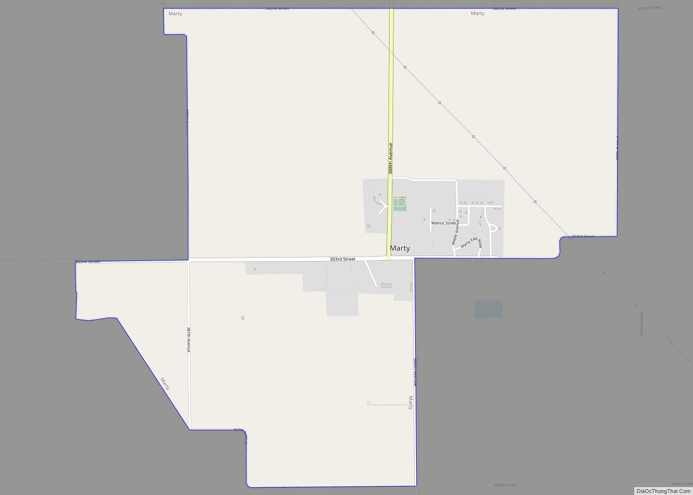
Marty is a census-designated place (CDP) in southern Charles Mix County, South Dakota, United States. The population was 677 at the 2020 census.
The community has the name of Bishop Martin Marty, the Bishop of Sioux Falls, SD. The community is referred to as Ṡinasapa in Dakota language of the native Yankton Sioux Tribe.
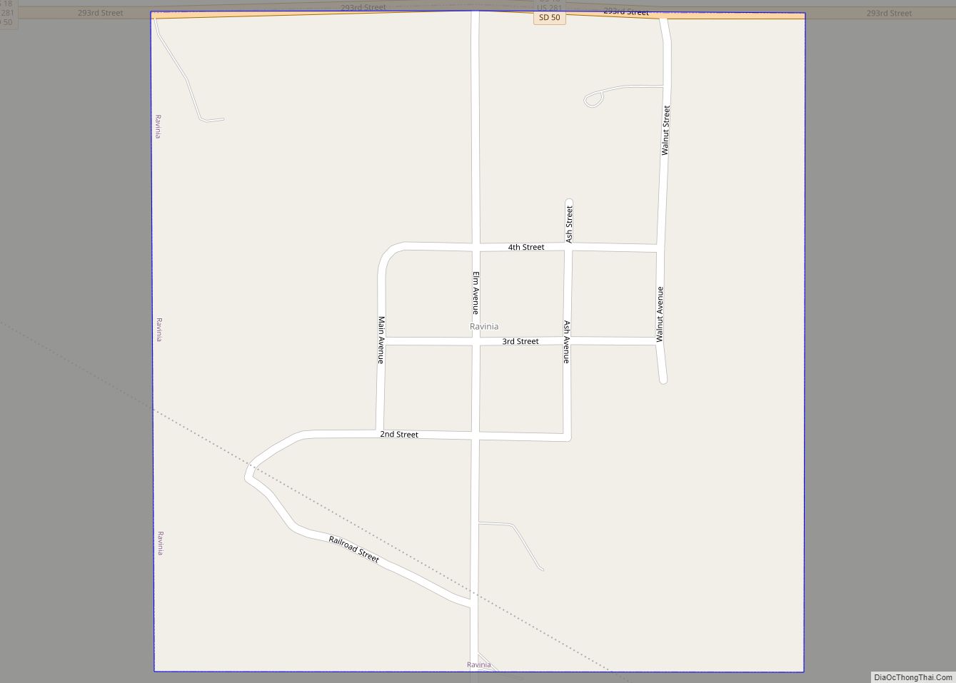
YST Transit buses connect the community to Wagner, Lake Andes and Ravinia.
| Name: | Marty CDP |
|---|---|
| LSAD Code: | 57 |
| LSAD Description: | CDP (suffix) |
| State: | South Dakota |
| County: | Charles Mix County |
| Elevation: | 1,447 ft (441 m) |
| Total Area: | 3.22 sq mi (8.35 km²) |
| Land Area: | 3.22 sq mi (8.35 km²) |
| Water Area: | 0.00 sq mi (0.00 km²) |
| Total Population: | 677 |
| Population Density: | 209.99/sq mi (81.09/km²) |
| ZIP code: | 57361 |
| Area code: | 605 |
| FIPS code: | 4641180 |
| GNISfeature ID: | 1256340 |
Online Interactive Map
Click on ![]() to view map in "full screen" mode.
to view map in "full screen" mode.
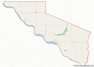
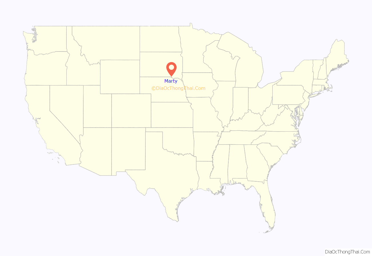
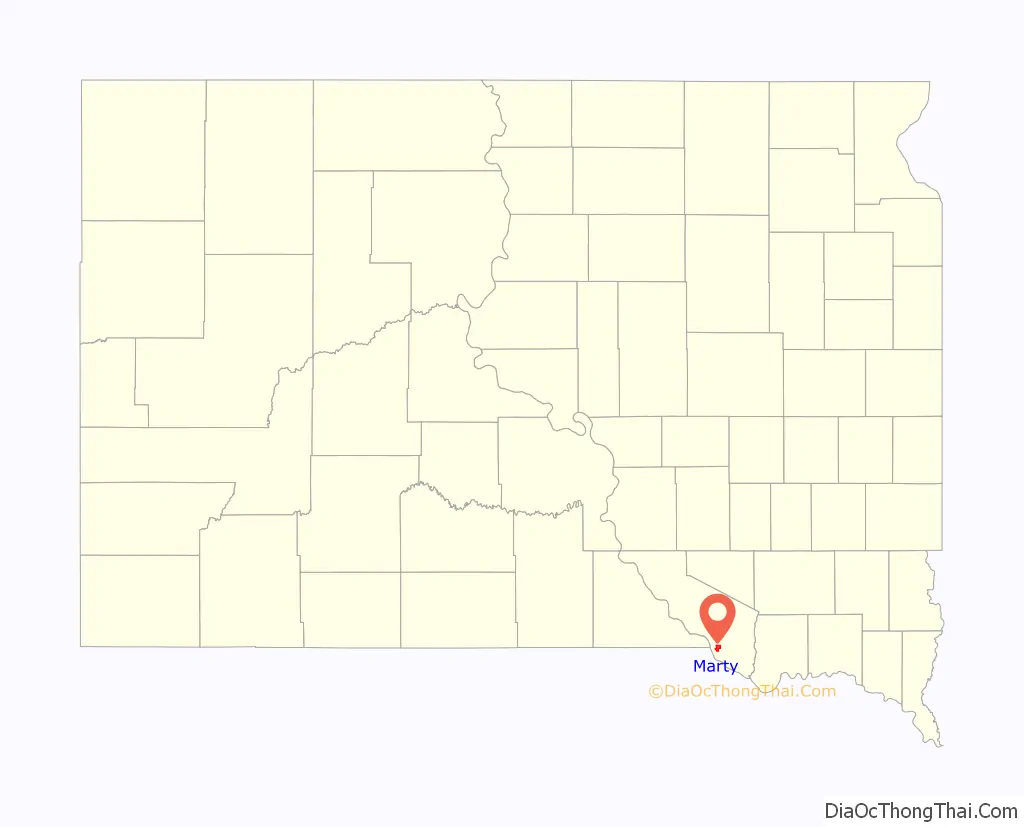
Marty location map. Where is Marty CDP?
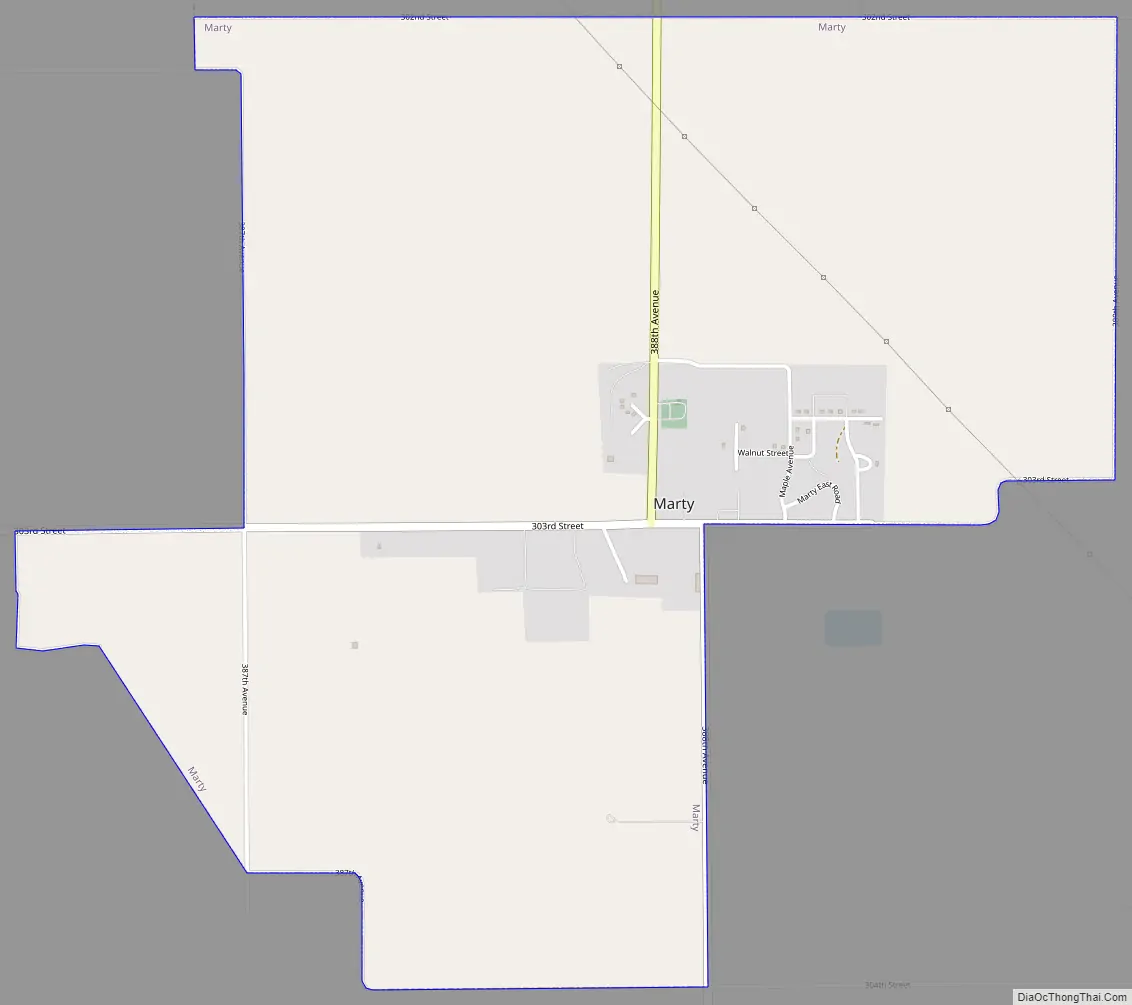
Marty Road Map
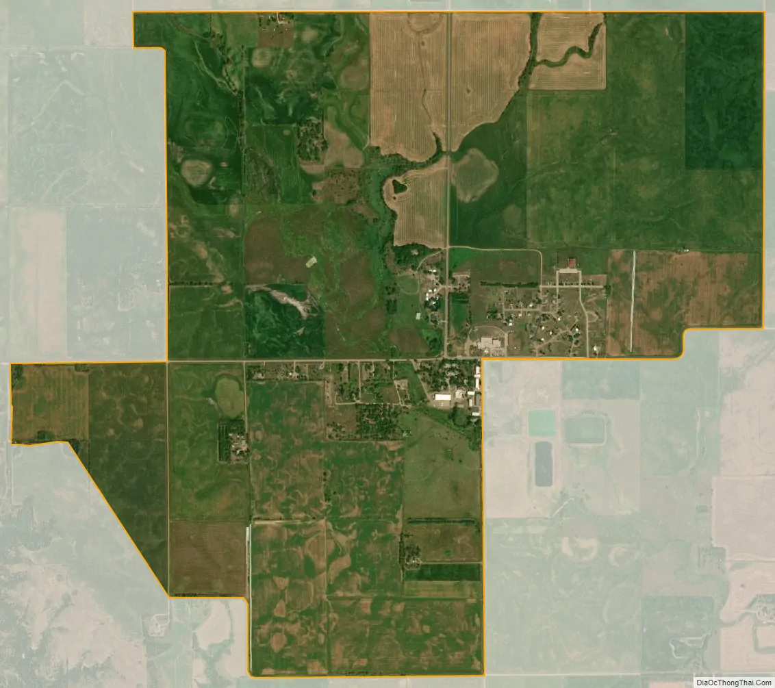
Marty city Satellite Map
Geography
Marty is located within Yankton Sioux Tribe’s reservation, at 42°59′28″N 98°25′50″W / 42.99111°N 98.43056°W / 42.99111; -98.43056 (42.991203, -98.430509).
According to the United States Census Bureau, the CDP has a total area of 3.2 square miles (8.3 km), all land.
See also
Map of South Dakota State and its subdivision:- Aurora
- Beadle
- Bennett
- Bon Homme
- Brookings
- Brown
- Brule
- Buffalo
- Butte
- Campbell
- Charles Mix
- Clark
- Clay
- Codington
- Corson
- Custer
- Davison
- Day
- Deuel
- Dewey
- Douglas
- Edmunds
- Fall River
- Faulk
- Grant
- Gregory
- Haakon
- Hamlin
- Hand
- Hanson
- Harding
- Hughes
- Hutchinson
- Hyde
- Jackson
- Jerauld
- Jones
- Kingsbury
- Lake
- Lawrence
- Lincoln
- Lyman
- Marshall
- McCook
- McPherson
- Meade
- Mellette
- Miner
- Minnehaha
- Moody
- Pennington
- Perkins
- Potter
- Roberts
- Sanborn
- Shannon
- Spink
- Stanley
- Sully
- Todd
- Tripp
- Turner
- Union
- Walworth
- Yankton
- Ziebach
- Alabama
- Alaska
- Arizona
- Arkansas
- California
- Colorado
- Connecticut
- Delaware
- District of Columbia
- Florida
- Georgia
- Hawaii
- Idaho
- Illinois
- Indiana
- Iowa
- Kansas
- Kentucky
- Louisiana
- Maine
- Maryland
- Massachusetts
- Michigan
- Minnesota
- Mississippi
- Missouri
- Montana
- Nebraska
- Nevada
- New Hampshire
- New Jersey
- New Mexico
- New York
- North Carolina
- North Dakota
- Ohio
- Oklahoma
- Oregon
- Pennsylvania
- Rhode Island
- South Carolina
- South Dakota
- Tennessee
- Texas
- Utah
- Vermont
- Virginia
- Washington
- West Virginia
- Wisconsin
- Wyoming