Monroe is a town in Turner County, South Dakota, United States. The population was 159 at the 2020 census.
| Name: | Monroe town |
|---|---|
| LSAD Code: | 43 |
| LSAD Description: | town (suffix) |
| State: | South Dakota |
| County: | Turner County |
| Incorporated: | 1901 |
| Elevation: | 1,493 ft (455 m) |
| Total Area: | 0.38 sq mi (0.98 km²) |
| Land Area: | 0.38 sq mi (0.98 km²) |
| Water Area: | 0.00 sq mi (0.00 km²) |
| Total Population: | 159 |
| Population Density: | 419.53/sq mi (162.07/km²) |
| ZIP code: | 57047 |
| Area code: | 605 |
| FIPS code: | 4643380 |
| GNISfeature ID: | 1265671 |
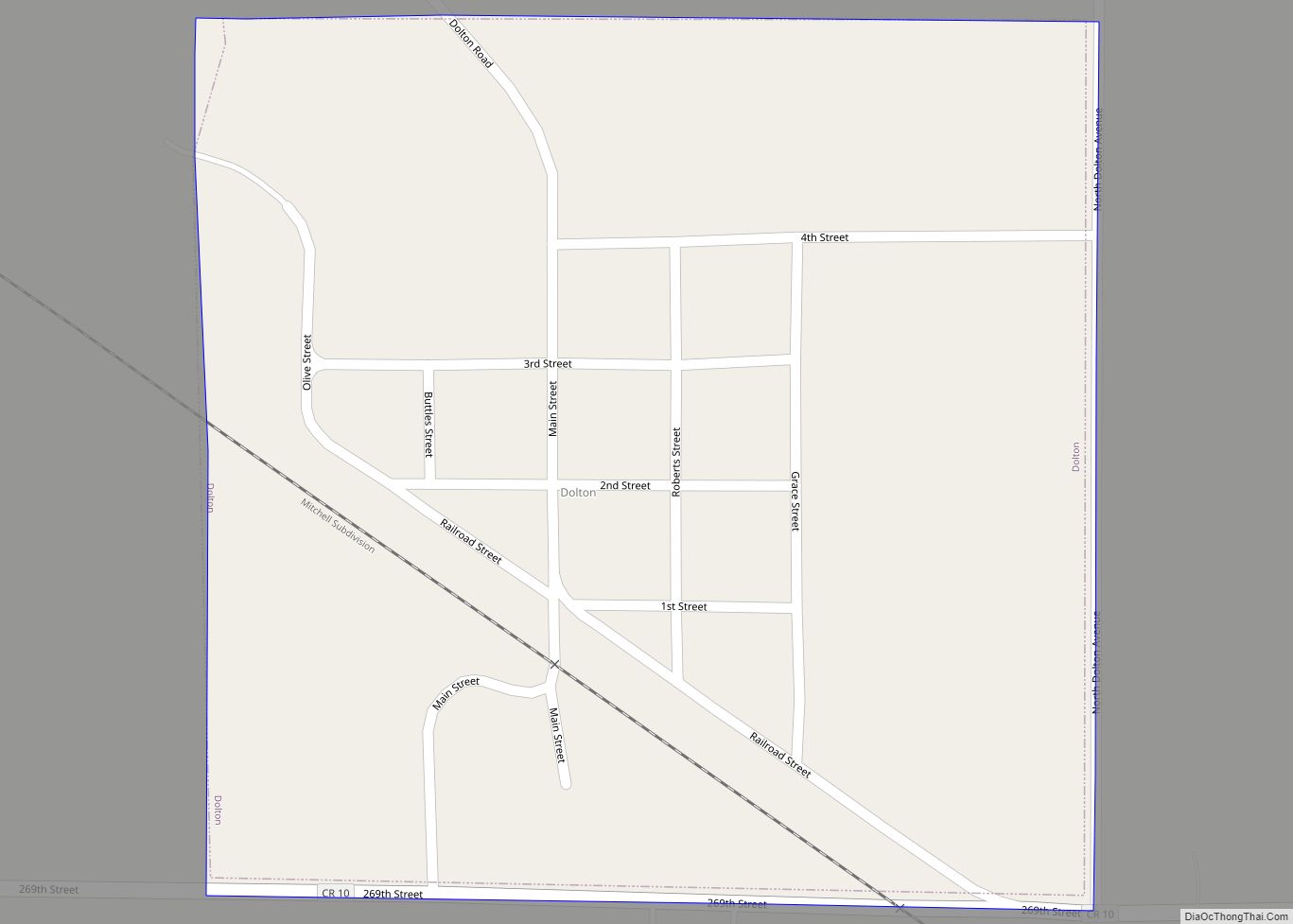
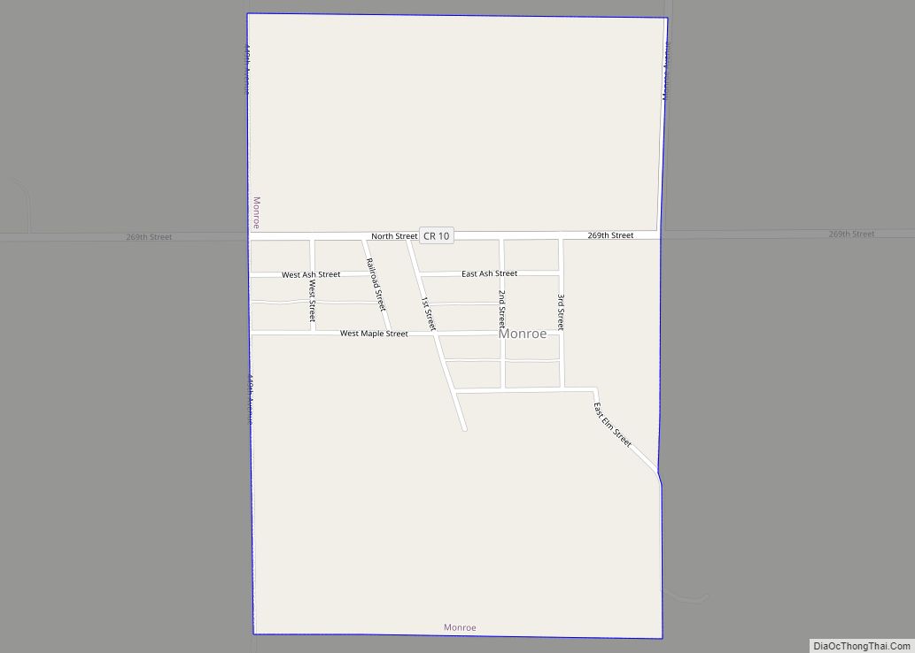
Online Interactive Map
Click on ![]() to view map in "full screen" mode.
to view map in "full screen" mode.
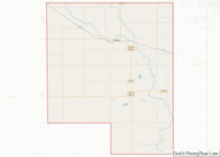
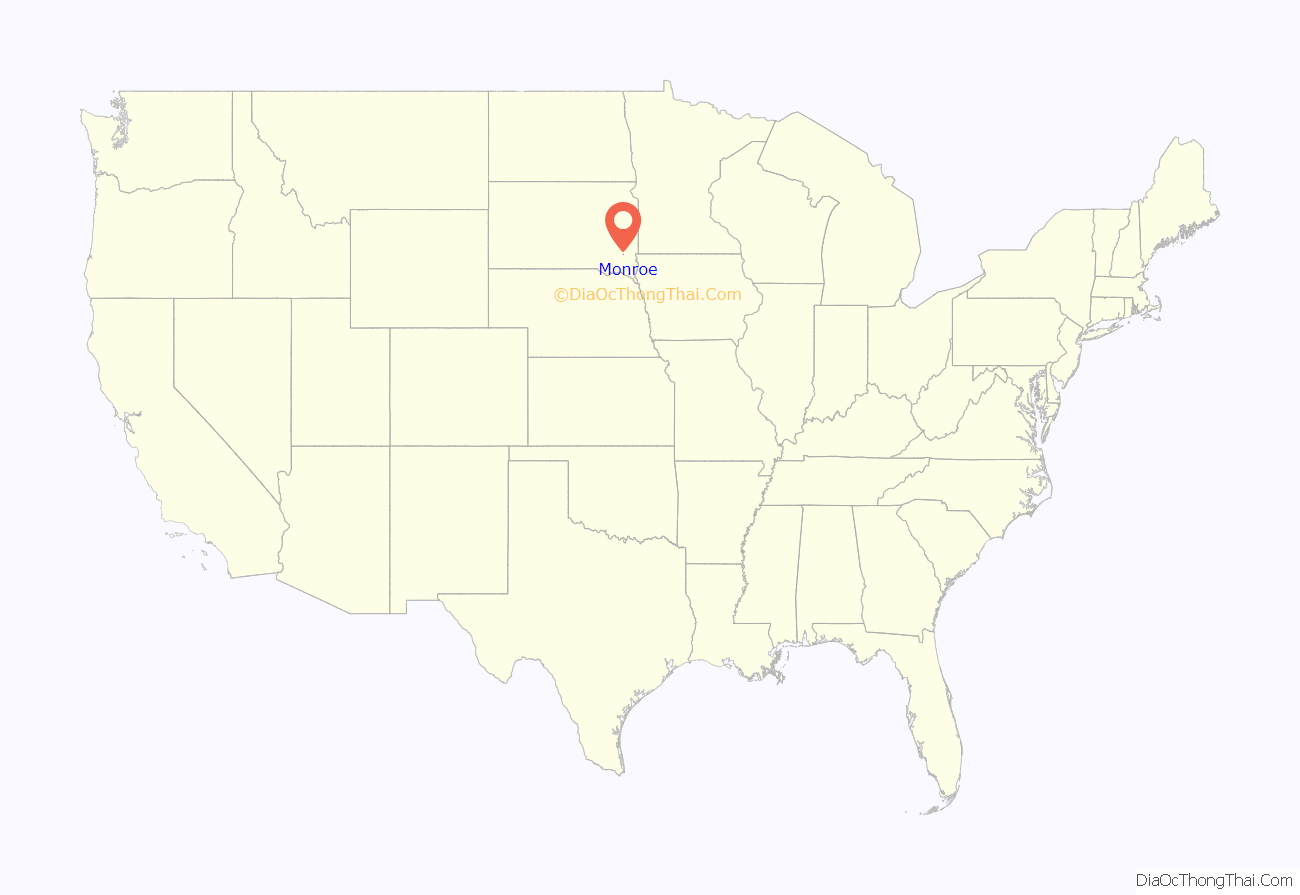
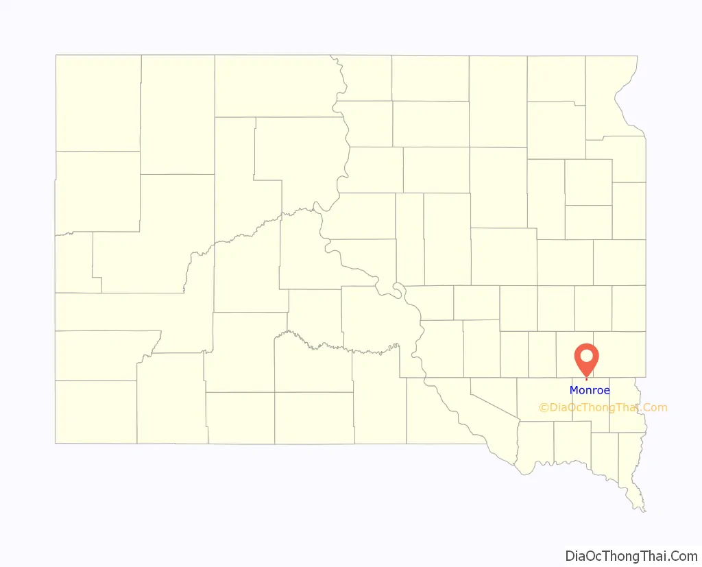
Monroe location map. Where is Monroe town?
History
Monroe was originally called Warrington, and under the latter name was platted in 1887. Some say the present name is for James Monroe, fifth President of the United States, while others believe the name is a transfer from Monroe, Wisconsin, the native home of an early settler. A post office called Monroe was established in 1890, and remained in operation until it was discontinued in 1965.
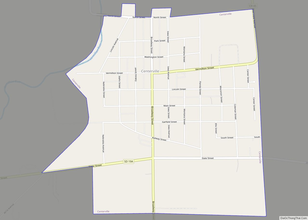
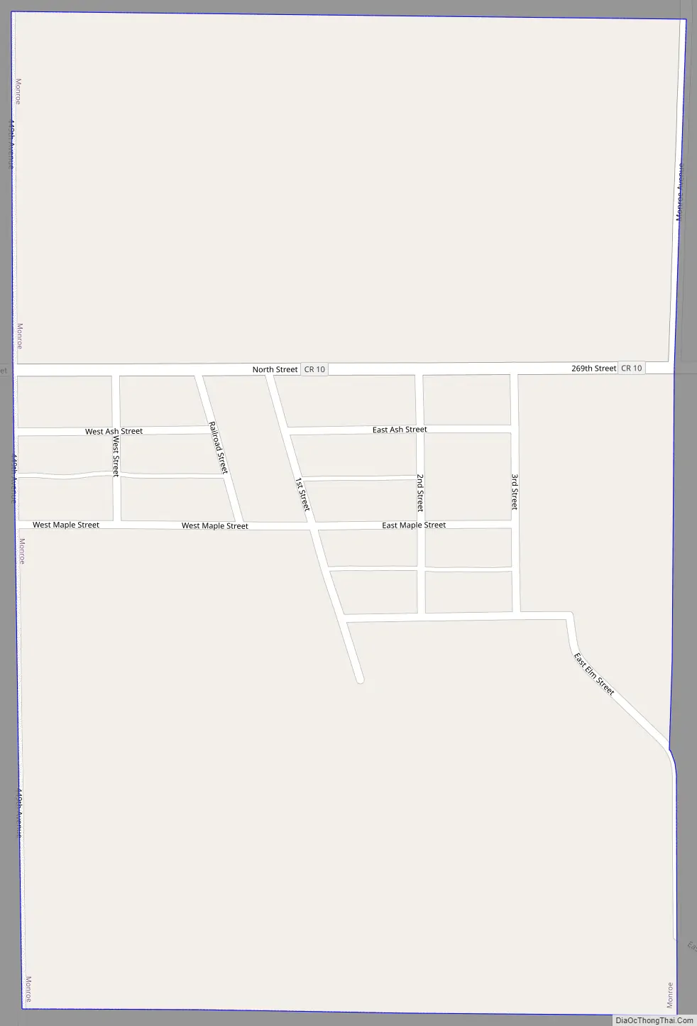
Monroe Road Map
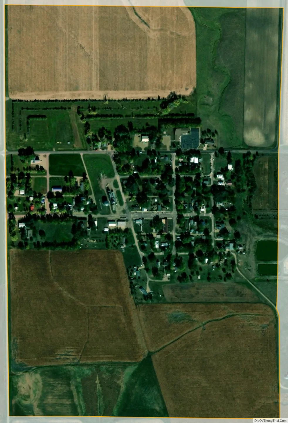
Monroe city Satellite Map
Geography
Monroe is located at 43°29′13″N 97°12′59″W / 43.48694°N 97.21639°W / 43.48694; -97.21639 (43.487033, -97.216367).
According to the United States Census Bureau, the town has a total area of 0.38 square miles (0.98 km), all land.
Monroe has been assigned the ZIP code 57047 and the FIPS place code 43380.
See also
Map of South Dakota State and its subdivision:- Aurora
- Beadle
- Bennett
- Bon Homme
- Brookings
- Brown
- Brule
- Buffalo
- Butte
- Campbell
- Charles Mix
- Clark
- Clay
- Codington
- Corson
- Custer
- Davison
- Day
- Deuel
- Dewey
- Douglas
- Edmunds
- Fall River
- Faulk
- Grant
- Gregory
- Haakon
- Hamlin
- Hand
- Hanson
- Harding
- Hughes
- Hutchinson
- Hyde
- Jackson
- Jerauld
- Jones
- Kingsbury
- Lake
- Lawrence
- Lincoln
- Lyman
- Marshall
- McCook
- McPherson
- Meade
- Mellette
- Miner
- Minnehaha
- Moody
- Pennington
- Perkins
- Potter
- Roberts
- Sanborn
- Shannon
- Spink
- Stanley
- Sully
- Todd
- Tripp
- Turner
- Union
- Walworth
- Yankton
- Ziebach
- Alabama
- Alaska
- Arizona
- Arkansas
- California
- Colorado
- Connecticut
- Delaware
- District of Columbia
- Florida
- Georgia
- Hawaii
- Idaho
- Illinois
- Indiana
- Iowa
- Kansas
- Kentucky
- Louisiana
- Maine
- Maryland
- Massachusetts
- Michigan
- Minnesota
- Mississippi
- Missouri
- Montana
- Nebraska
- Nevada
- New Hampshire
- New Jersey
- New Mexico
- New York
- North Carolina
- North Dakota
- Ohio
- Oklahoma
- Oregon
- Pennsylvania
- Rhode Island
- South Carolina
- South Dakota
- Tennessee
- Texas
- Utah
- Vermont
- Virginia
- Washington
- West Virginia
- Wisconsin
- Wyoming