Prairie City is an unincorporated community and census-designated place in Perkins County, South Dakota, United States. One of many rural settlements in Perkins County, the town was founded in 1946 by former residents of Strool. The population of the CDP was 25 at the 2020 census. The town has been assigned the ZIP code of 57649.
| Name: | Prairie City CDP |
|---|---|
| LSAD Code: | 57 |
| LSAD Description: | CDP (suffix) |
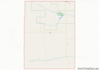
| State: | South Dakota |
| County: | Perkins County |
| Elevation: | 2,841 ft (866 m) |
| Total Area: | 1.42 sq mi (3.68 km²) |
| Land Area: | 1.41 sq mi (3.65 km²) |
| Water Area: | 0.05 sq mi (0.13 km²) |
| Total Population: | 25 |
| Population Density: | 18/sq mi (6.8/km²) |
| ZIP code: | 57649 |
| Area code: | 605 |
| FIPS code: | 4651660 |
| GNISfeature ID: | 1257197 |
Online Interactive Map
Click on ![]() to view map in "full screen" mode.
to view map in "full screen" mode.
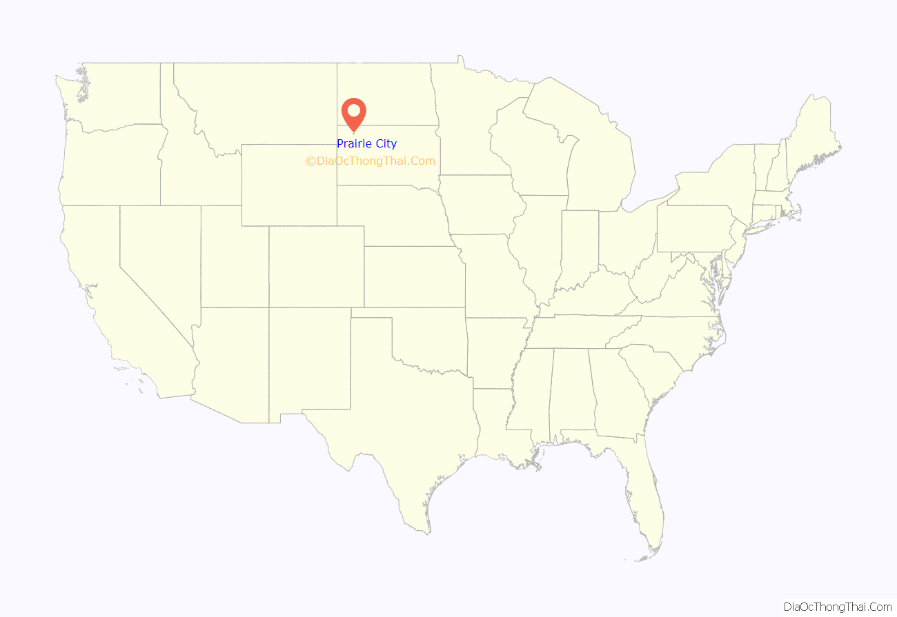
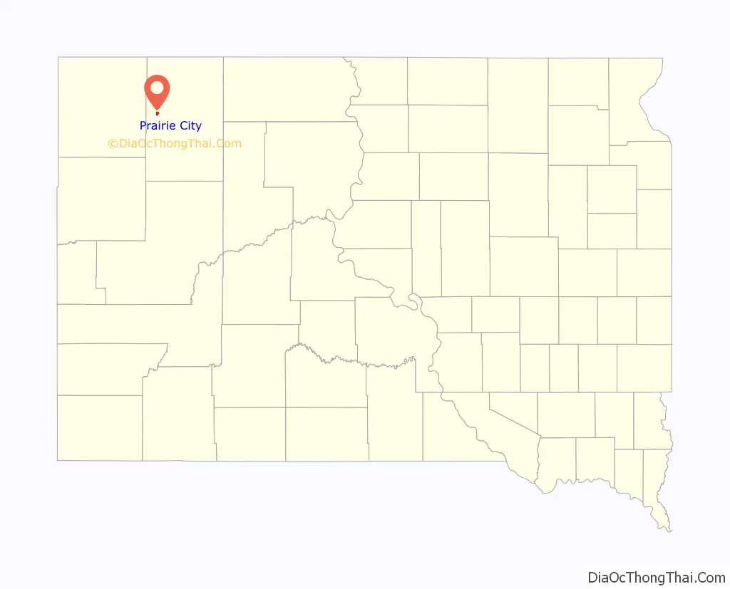
Prairie City location map. Where is Prairie City CDP?
History
Prairie City was founded in 1946 by Dutch Stalder, and built up by former residents of Strool. The town of Strool was entirely owned by its founder, homesteader Ben Strool, who rented out land to residents and businesses, but did not sell any of it. Since this meant Strool’s residents and business-owners did not own their property, they were reluctant to construct buildings with permanent features like basements, for fear they could lose the buildings they had invested in. Moreover, both a railroad and a highway—which had initially been slated to pass through Strool—were later built several miles away, bypassing the area and making it inconvenient to reach.
By 1946, some residents of Strool had decided to relocate two miles north and form the settlement of Prairie City. Comparatively, Prairie City would be closer to the highway and allow settlers to purchase land. The move to Prairie City was hastened by multiple factors, including the arrival of electrical infrastructure in 1952 (as settlers did not want to install electricity in rented property), Ben Strool’s death in 1949, and a subsequent feud over the ownership of the settlement. The relocation was largely complete by 1955, and with so many settlers moving to Prairie City in such a short span of time, Prairie City briefly earned the title of “the fastest-growing town” in South Dakota.
Prairie City’s post office was established in 1955. It was first recorded as a census-designated place in the 2010 census.
In 2009, Prairie City’s post office was shut down, though the CDP kept its 57649 ZIP code. Its postal services are now handled by the town of Bison.
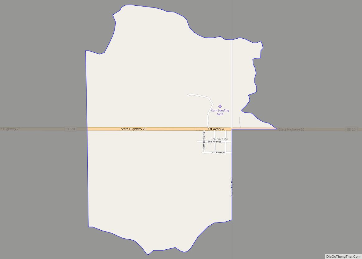
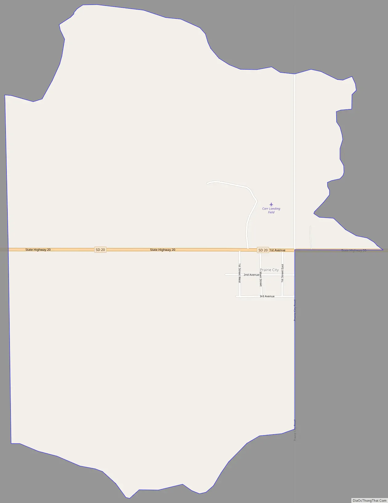
Prairie City Road Map
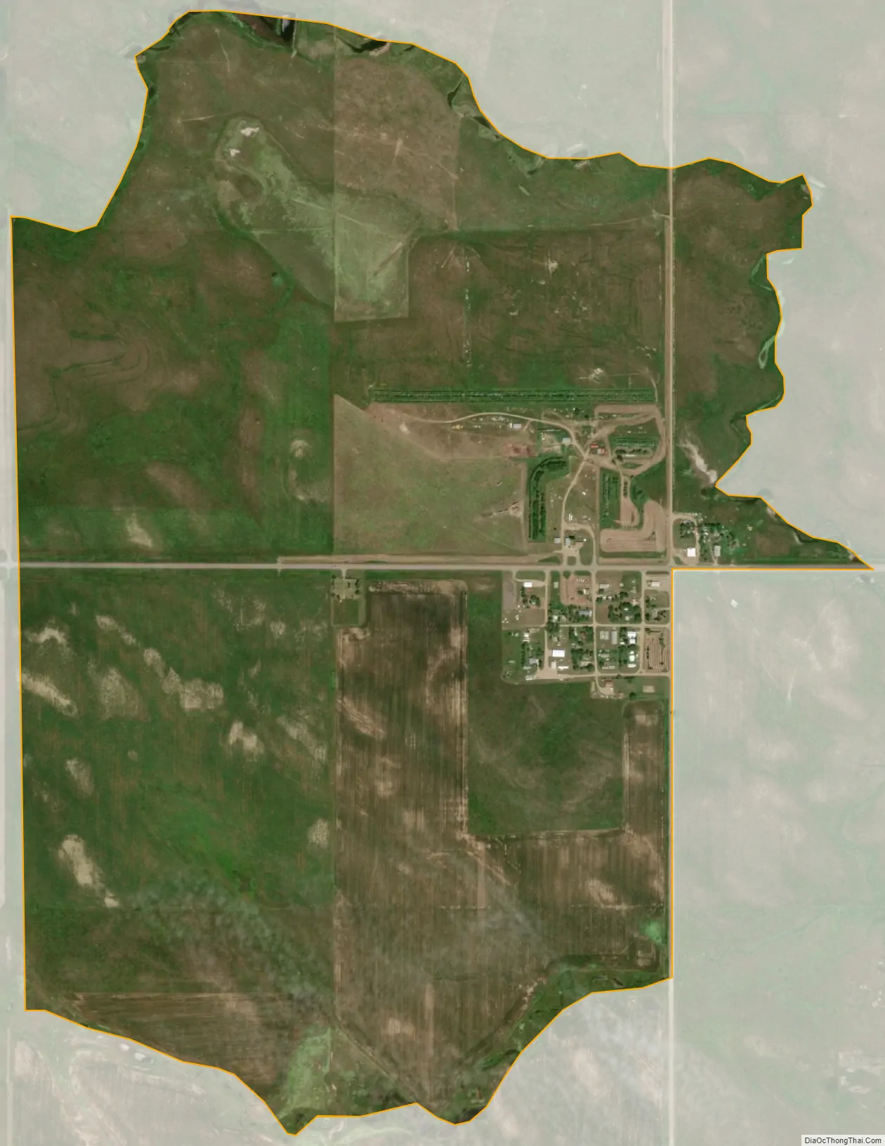
Prairie City city Satellite Map
See also
Map of South Dakota State and its subdivision:- Aurora
- Beadle
- Bennett
- Bon Homme
- Brookings
- Brown
- Brule
- Buffalo
- Butte
- Campbell
- Charles Mix
- Clark
- Clay
- Codington
- Corson
- Custer
- Davison
- Day
- Deuel
- Dewey
- Douglas
- Edmunds
- Fall River
- Faulk
- Grant
- Gregory
- Haakon
- Hamlin
- Hand
- Hanson
- Harding
- Hughes
- Hutchinson
- Hyde
- Jackson
- Jerauld
- Jones
- Kingsbury
- Lake
- Lawrence
- Lincoln
- Lyman
- Marshall
- McCook
- McPherson
- Meade
- Mellette
- Miner
- Minnehaha
- Moody
- Pennington
- Perkins
- Potter
- Roberts
- Sanborn
- Shannon
- Spink
- Stanley
- Sully
- Todd
- Tripp
- Turner
- Union
- Walworth
- Yankton
- Ziebach
- Alabama
- Alaska
- Arizona
- Arkansas
- California
- Colorado
- Connecticut
- Delaware
- District of Columbia
- Florida
- Georgia
- Hawaii
- Idaho
- Illinois
- Indiana
- Iowa
- Kansas
- Kentucky
- Louisiana
- Maine
- Maryland
- Massachusetts
- Michigan
- Minnesota
- Mississippi
- Missouri
- Montana
- Nebraska
- Nevada
- New Hampshire
- New Jersey
- New Mexico
- New York
- North Carolina
- North Dakota
- Ohio
- Oklahoma
- Oregon
- Pennsylvania
- Rhode Island
- South Carolina
- South Dakota
- Tennessee
- Texas
- Utah
- Vermont
- Virginia
- Washington
- West Virginia
- Wisconsin
- Wyoming