Reliance is a town in Lyman County, South Dakota, United States. The population was 128 at the 2020 census.
Reliance was laid out in 1905.
| Name: | Reliance town |
|---|---|
| LSAD Code: | 43 |
| LSAD Description: | town (suffix) |
| State: | South Dakota |
| County: | Lyman County |
| Incorporated: | 1905 |
| Elevation: | 1,791 ft (546 m) |
| Total Area: | 1.14 sq mi (2.96 km²) |
| Land Area: | 1.09 sq mi (2.81 km²) |
| Water Area: | 0.06 sq mi (0.14 km²) |
| Total Population: | 128 |
| Population Density: | 117.86/sq mi (45.52/km²) |
| ZIP code: | 57569 |
| Area code: | 605 |
| FIPS code: | 4654020 |
| GNISfeature ID: | 1257350 |
Online Interactive Map
Click on ![]() to view map in "full screen" mode.
to view map in "full screen" mode.
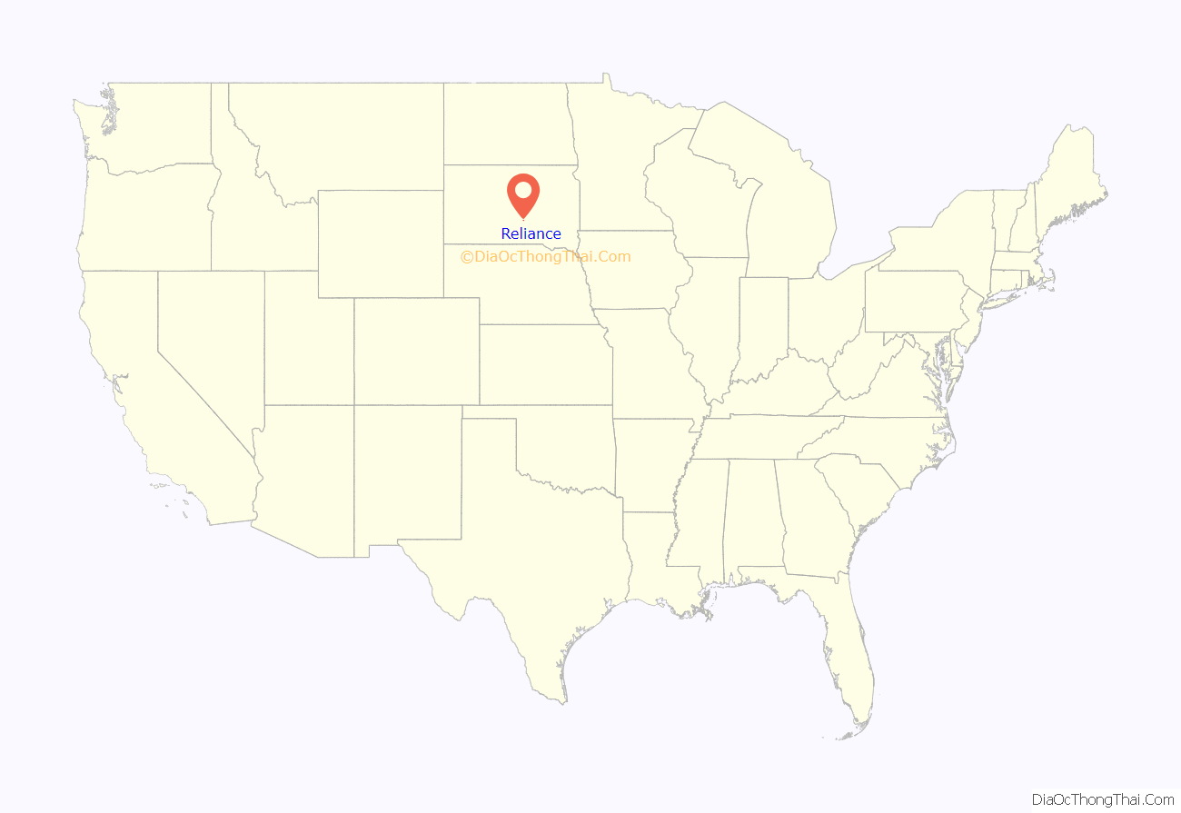
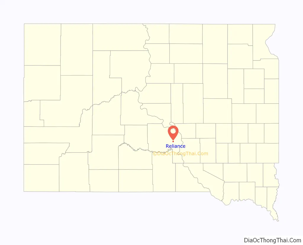
Reliance location map. Where is Reliance town?
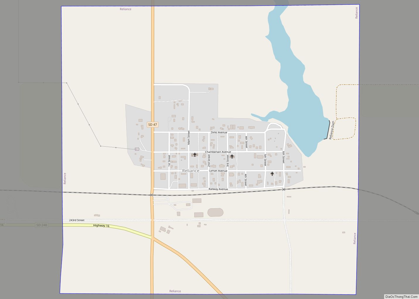
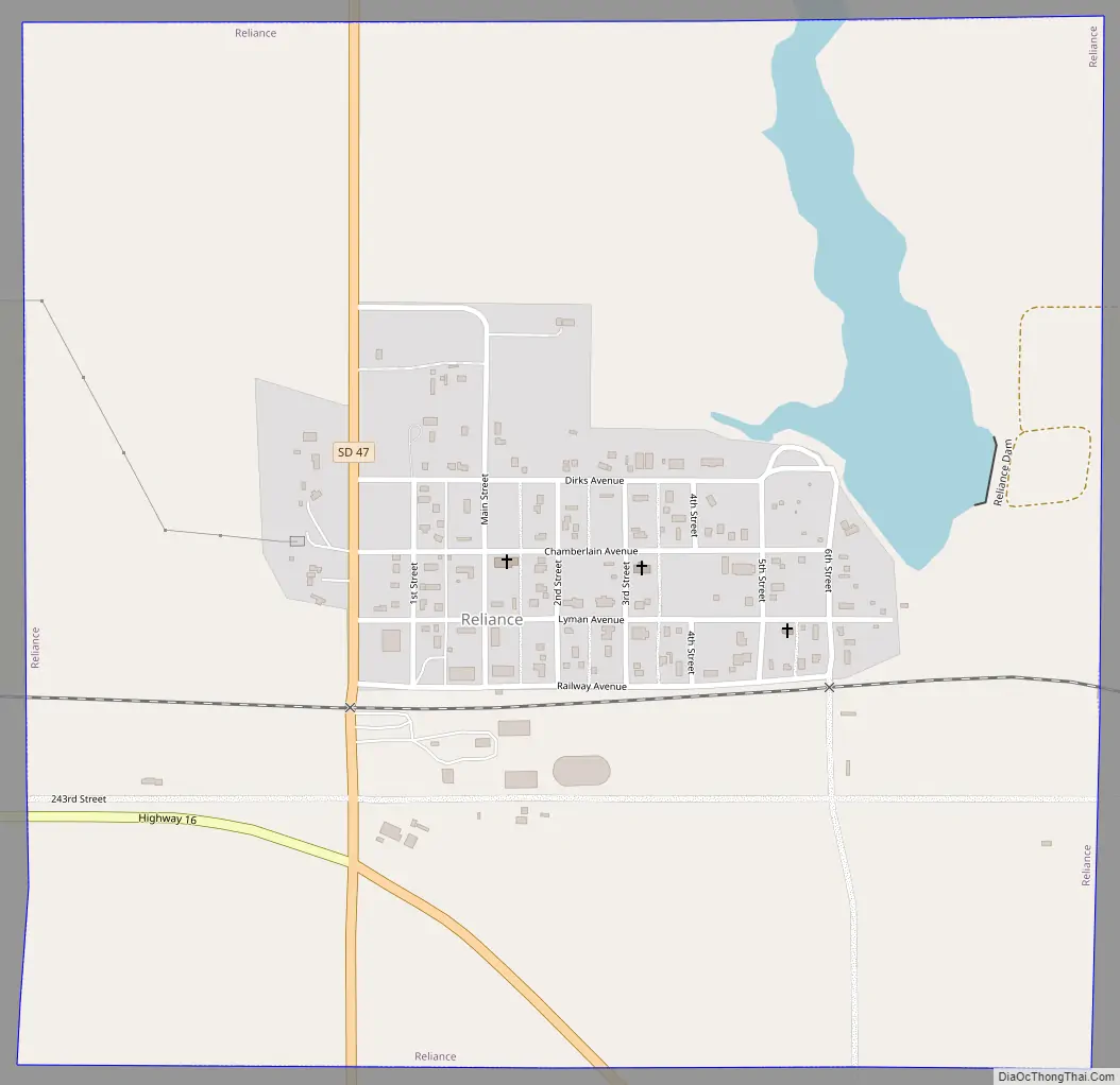
Reliance Road Map
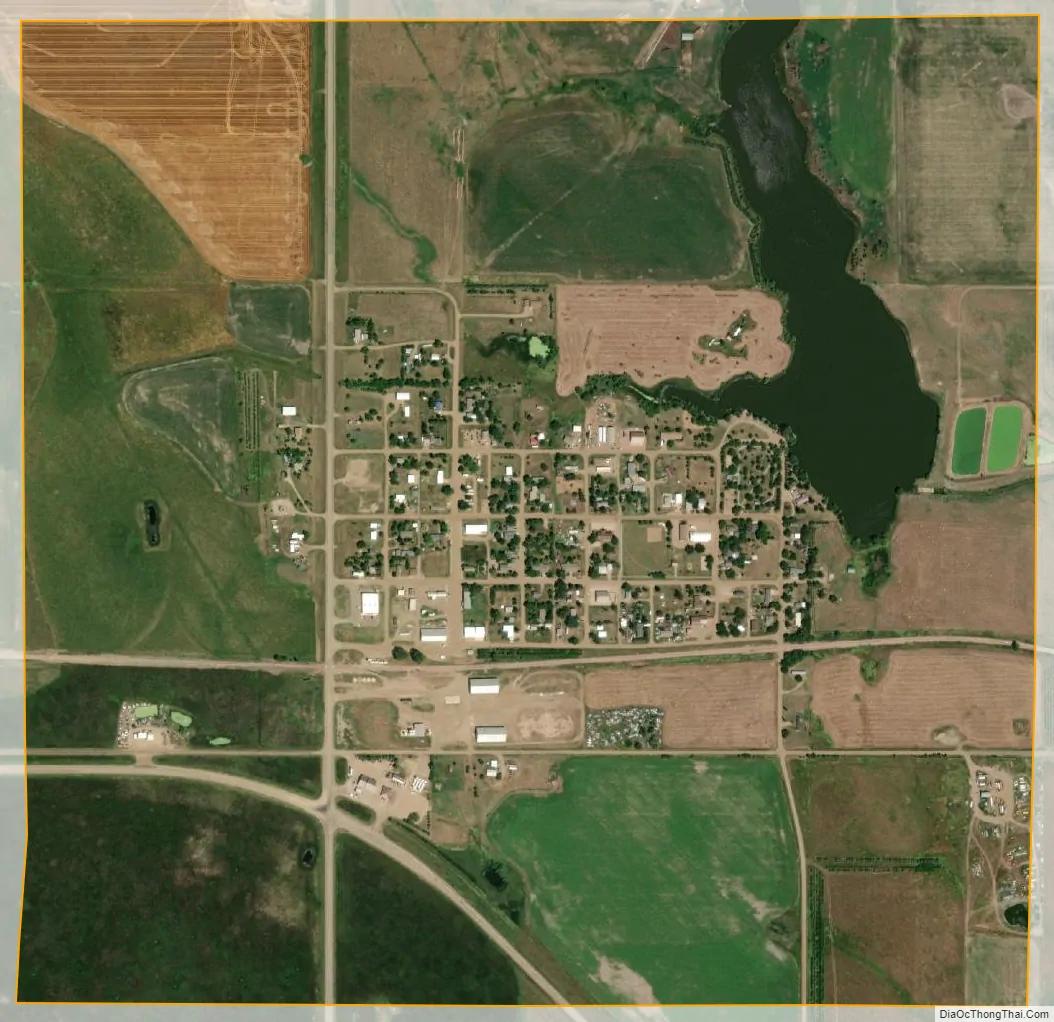
Reliance city Satellite Map
Geography
Reliance is located at 43°52′43″N 99°36′4″W / 43.87861°N 99.60111°W / 43.87861; -99.60111 (43.878490, -99.601138).
According to the United States Census Bureau, the town has a total area of 1.15 square miles (2.98 km), of which 1.09 square miles (2.82 km) is land and 0.06 square miles (0.16 km) is water.
Reliance has been assigned the ZIP code 57569 and the FIPS place code 54020.
Medicine Butte is near Reliance. It rises about 200 feet above the prairie, and is sacred to the Brulé Sioux people, especially those who live on the nearby Lower Brule Indian Reservation.
See also
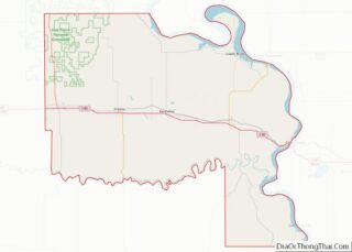
Map of South Dakota State and its subdivision:- Aurora
- Beadle
- Bennett
- Bon Homme
- Brookings
- Brown
- Brule
- Buffalo
- Butte
- Campbell
- Charles Mix
- Clark
- Clay
- Codington
- Corson
- Custer
- Davison
- Day
- Deuel
- Dewey
- Douglas
- Edmunds
- Fall River
- Faulk
- Grant
- Gregory
- Haakon
- Hamlin
- Hand
- Hanson
- Harding
- Hughes
- Hutchinson
- Hyde
- Jackson
- Jerauld
- Jones
- Kingsbury
- Lake
- Lawrence
- Lincoln
- Lyman
- Marshall
- McCook
- McPherson
- Meade
- Mellette
- Miner
- Minnehaha
- Moody
- Pennington
- Perkins
- Potter
- Roberts
- Sanborn
- Shannon
- Spink
- Stanley
- Sully
- Todd
- Tripp
- Turner
- Union
- Walworth
- Yankton
- Ziebach
- Alabama
- Alaska
- Arizona
- Arkansas
- California
- Colorado
- Connecticut
- Delaware
- District of Columbia
- Florida
- Georgia
- Hawaii
- Idaho
- Illinois
- Indiana
- Iowa
- Kansas
- Kentucky
- Louisiana
- Maine
- Maryland
- Massachusetts
- Michigan
- Minnesota
- Mississippi
- Missouri
- Montana
- Nebraska
- Nevada
- New Hampshire
- New Jersey
- New Mexico
- New York
- North Carolina
- North Dakota
- Ohio
- Oklahoma
- Oregon
- Pennsylvania
- Rhode Island
- South Carolina
- South Dakota
- Tennessee
- Texas
- Utah
- Vermont
- Virginia
- Washington
- West Virginia
- Wisconsin
- Wyoming