Rockham is a town in Faulk County, South Dakota, United States, off U.S. Route 212, and was a stop on the old Chicago and North Western Railway. The population was 22 at the 2020 census.
| Name: | Rockham town |
|---|---|
| LSAD Code: | 43 |
| LSAD Description: | town (suffix) |
| State: | South Dakota |
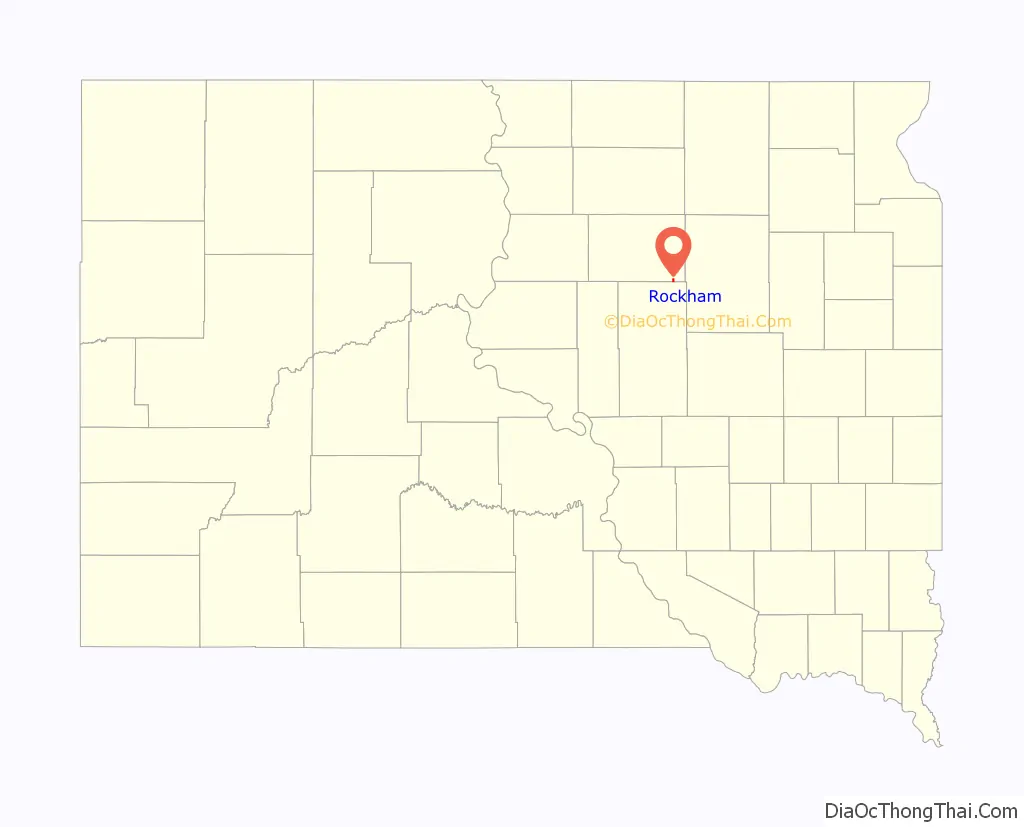
| County: | Faulk County |
| Elevation: | 1,394 ft (425 m) |
| Total Area: | 0.50 sq mi (1.29 km²) |
| Land Area: | 0.50 sq mi (1.29 km²) |
| Water Area: | 0.00 sq mi (0.00 km²) |
| Total Population: | 22 |
| Population Density: | 44.18/sq mi (17.06/km²) |
| ZIP code: | 57470 |
| Area code: | 605 |
| FIPS code: | 4655540 |
| GNISfeature ID: | 1257439 |
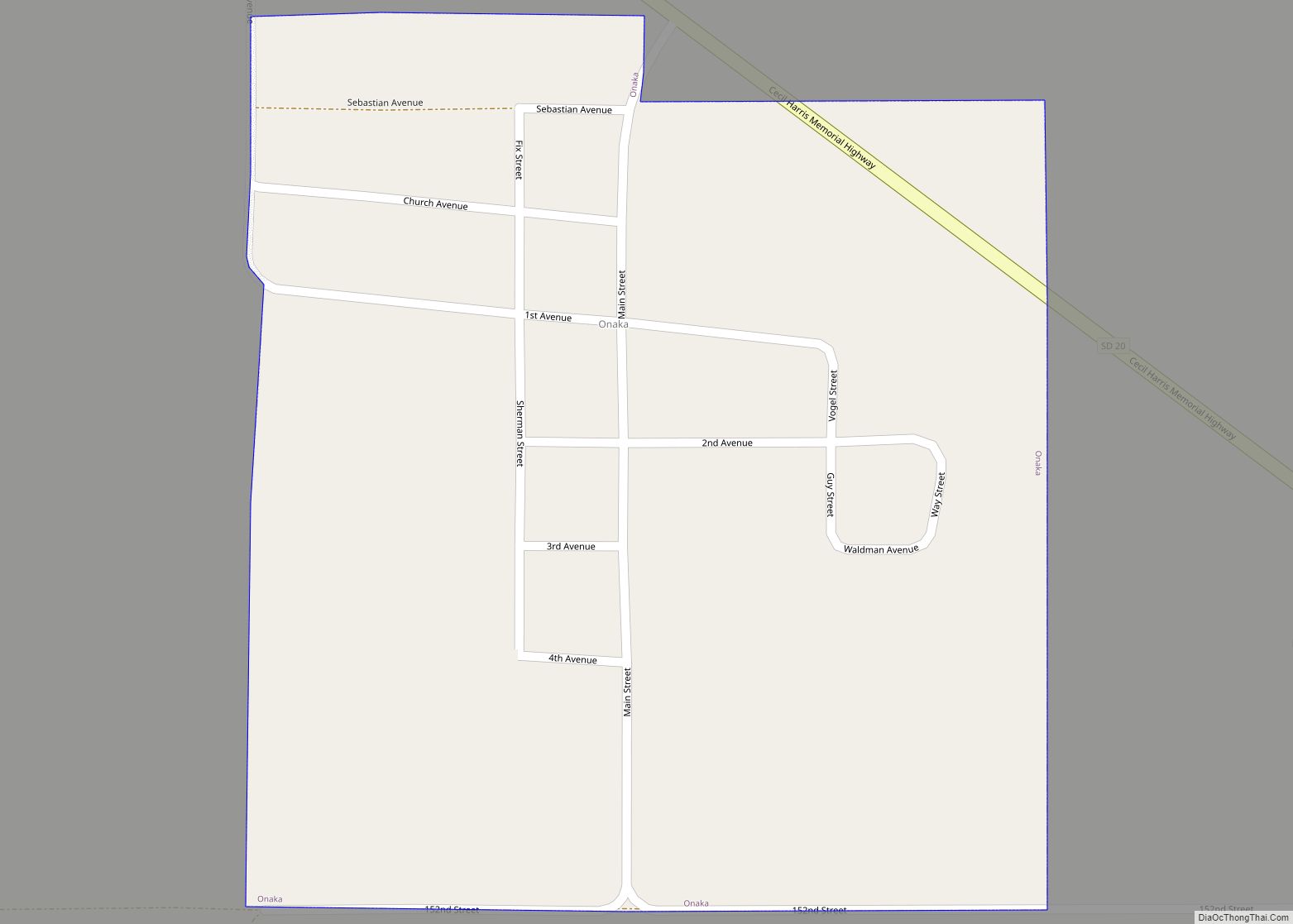
Online Interactive Map
Click on ![]() to view map in "full screen" mode.
to view map in "full screen" mode.
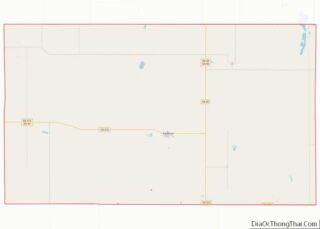
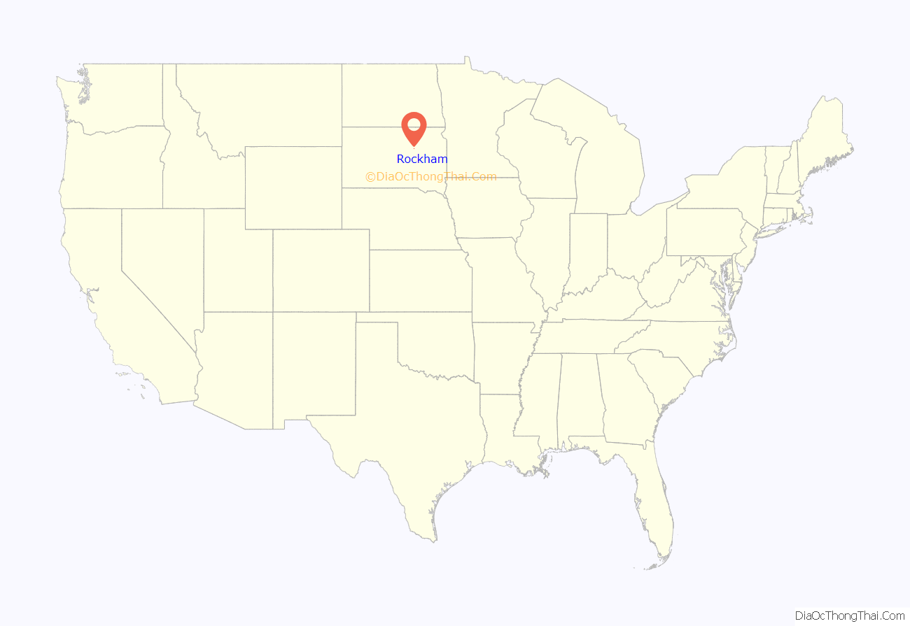
Rockham location map. Where is Rockham town?
History
Rockham was platted in 1886. It was named after Rockhampton, in Australia. A post office has been in operation in Rockham since 1887.
The Chicago & North Western Railway constructed a rail line from Redfield to Faulkton in 1886. Rockham was founded as a stop on the railway that year, in 1886 on land originally homesteaded by Anders Opperud, and was incorporated on March 4, 1909. Rockham’s first school, the F.M. Brown School, was erected in 1884; the Rockham Public School was built in 1915. Rockham received its first telephone service in 1903 and electrical power was distributed throughout the city in 1919.
In 1925, the Rockham Public School was damaged by a tornado.
In 1970, the Chicago & North Western Railway abandoned its rail line from Redfield to Gettysburg, leaving Rockham without rail service for hauling grain.
The Rockham Public School closed in 1972.
Rockham celebrated its centennial on July 4–6, 1986.
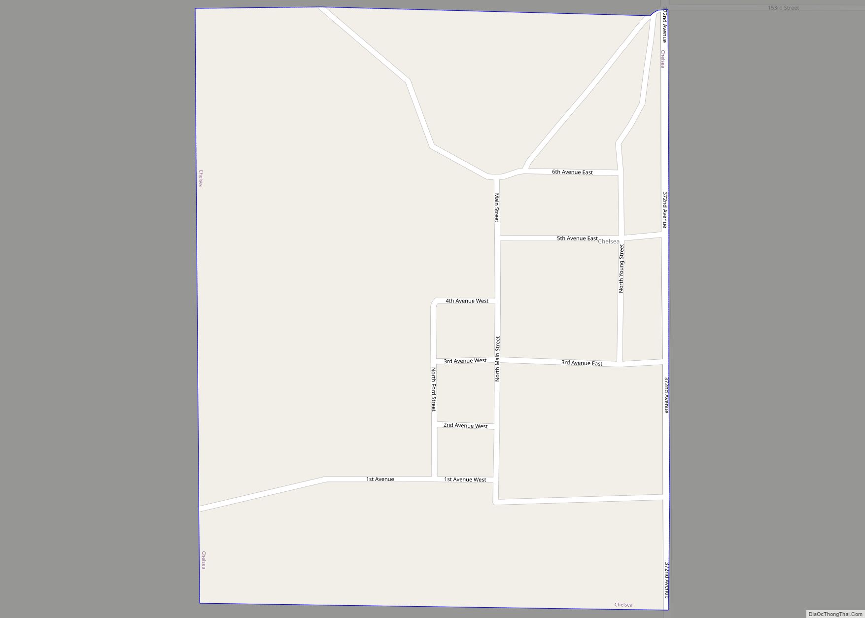
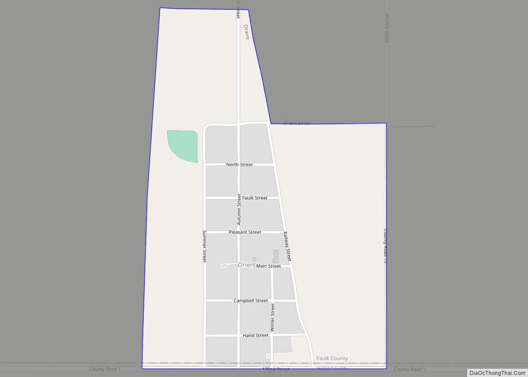
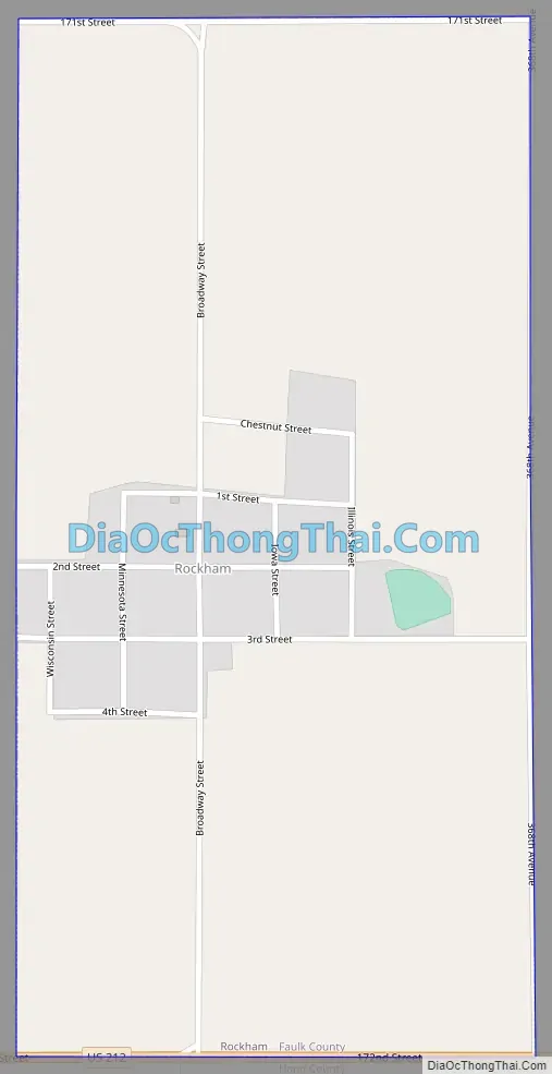
Rockham Road Map
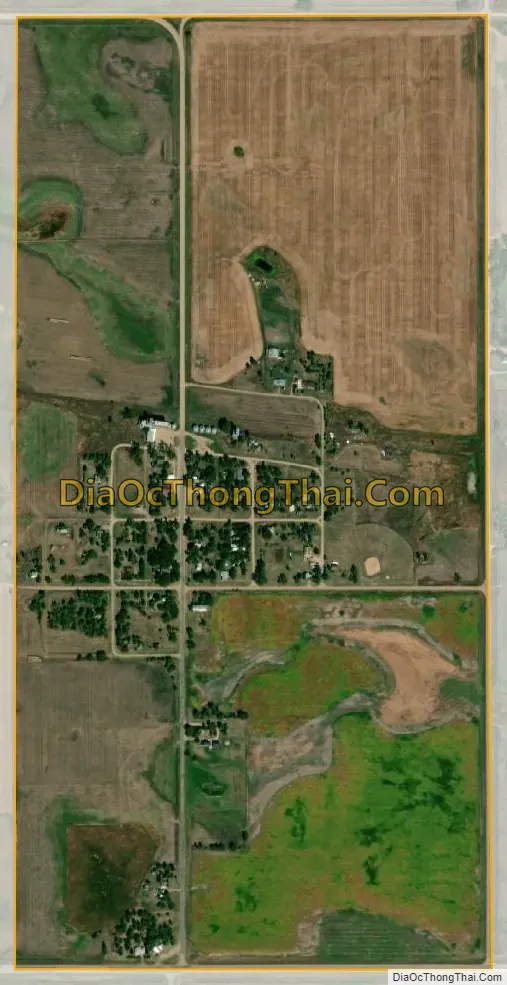
Rockham city Satellite Map
Geography
Rockham is located at 44°54′13″N 98°49′32″W / 44.90361°N 98.82556°W / 44.90361; -98.82556 (44.903491, -98.825602).
According to the United States Census Bureau, the town has a total area of 0.50 square miles (1.29 km), all land.
Rockham has been assigned the ZIP code 57470 and the FIPS place code 55540.
See also
Map of South Dakota State and its subdivision:- Aurora
- Beadle
- Bennett
- Bon Homme
- Brookings
- Brown
- Brule
- Buffalo
- Butte
- Campbell
- Charles Mix
- Clark
- Clay
- Codington
- Corson
- Custer
- Davison
- Day
- Deuel
- Dewey
- Douglas
- Edmunds
- Fall River
- Faulk
- Grant
- Gregory
- Haakon
- Hamlin
- Hand
- Hanson
- Harding
- Hughes
- Hutchinson
- Hyde
- Jackson
- Jerauld
- Jones
- Kingsbury
- Lake
- Lawrence
- Lincoln
- Lyman
- Marshall
- McCook
- McPherson
- Meade
- Mellette
- Miner
- Minnehaha
- Moody
- Pennington
- Perkins
- Potter
- Roberts
- Sanborn
- Shannon
- Spink
- Stanley
- Sully
- Todd
- Tripp
- Turner
- Union
- Walworth
- Yankton
- Ziebach
- Alabama
- Alaska
- Arizona
- Arkansas
- California
- Colorado
- Connecticut
- Delaware
- District of Columbia
- Florida
- Georgia
- Hawaii
- Idaho
- Illinois
- Indiana
- Iowa
- Kansas
- Kentucky
- Louisiana
- Maine
- Maryland
- Massachusetts
- Michigan
- Minnesota
- Mississippi
- Missouri
- Montana
- Nebraska
- Nevada
- New Hampshire
- New Jersey
- New Mexico
- New York
- North Carolina
- North Dakota
- Ohio
- Oklahoma
- Oregon
- Pennsylvania
- Rhode Island
- South Carolina
- South Dakota
- Tennessee
- Texas
- Utah
- Vermont
- Virginia
- Washington
- West Virginia
- Wisconsin
- Wyoming