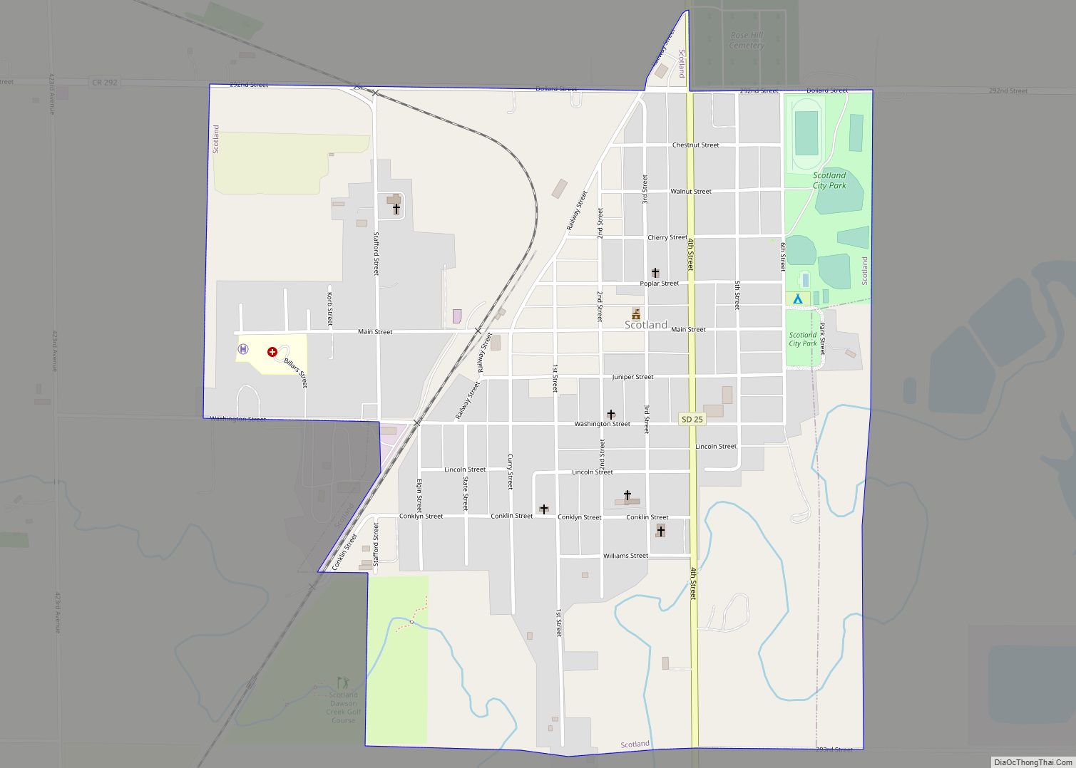
Scotland is a city in Bon Homme County, South Dakota, United States. The population was 785 at the 2020 census.
| Name: | Scotland city |
|---|---|
| LSAD Code: | 25 |
| LSAD Description: | city (suffix) |
| State: | South Dakota |
| County: | Bon Homme County |
| Incorporated: | 1885 |
| Elevation: | 1,355 ft (413 m) |
| Total Area: | 0.90 sq mi (2.32 km²) |
| Land Area: | 0.90 sq mi (2.32 km²) |
| Water Area: | 0.00 sq mi (0.00 km²) |
| Total Population: | 785 |
| Population Density: | 877.09/sq mi (338.49/km²) |
| ZIP code: | 57059 |
| Area code: | 605 |
| FIPS code: | 4657940 |
| GNISfeature ID: | 1258001 |
| Website: | http://www.cityofscotland.com/ |
Online Interactive Map
Click on ![]() to view map in "full screen" mode.
to view map in "full screen" mode.
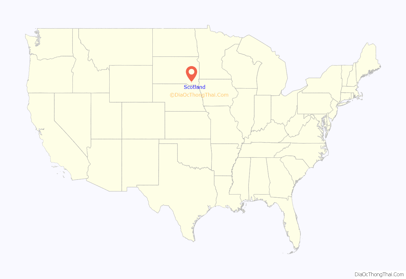
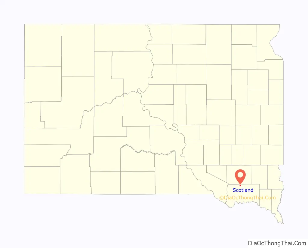
Scotland location map. Where is Scotland city?
History
Scotland was laid out in 1879. Scottish immigrants named it for their native country of Scotland.
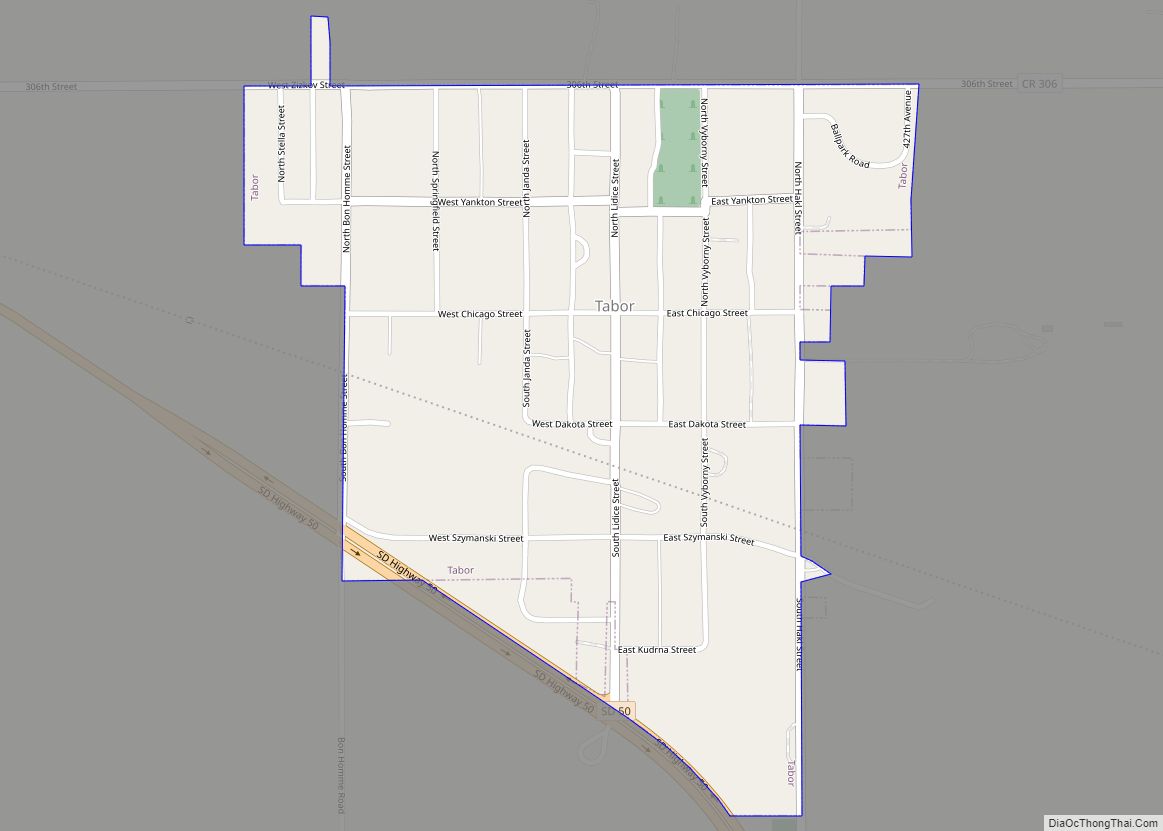
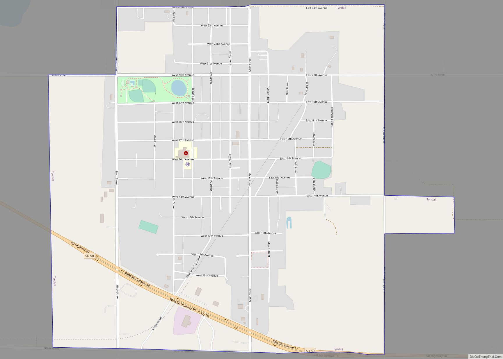
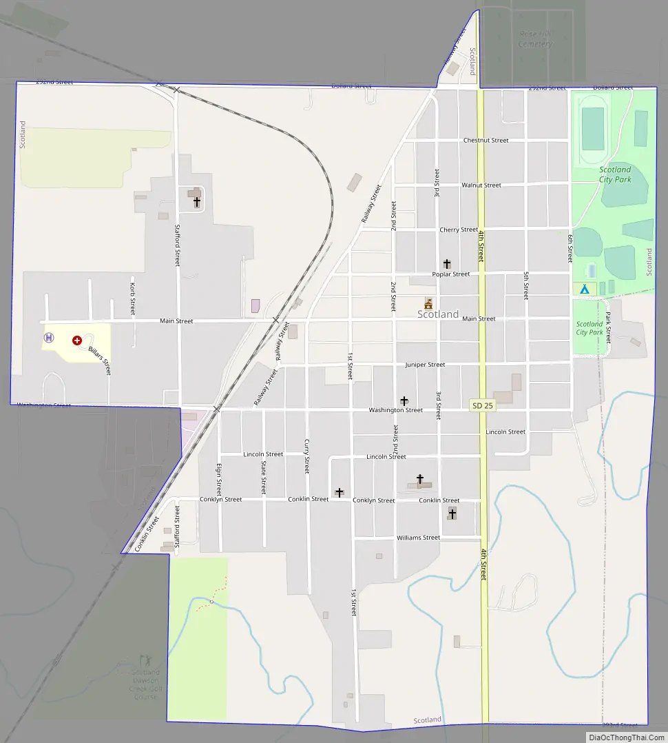
Scotland Road Map
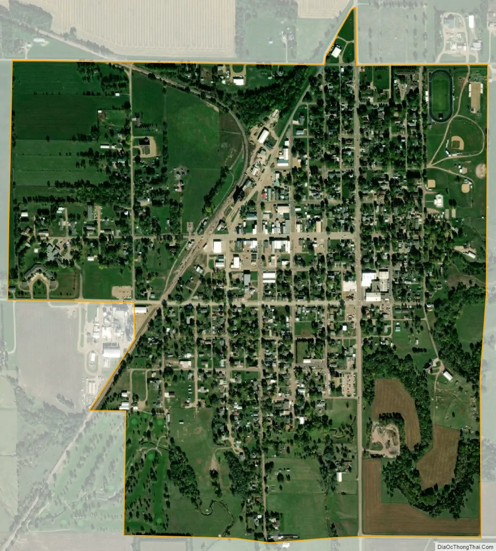
Scotland city Satellite Map
Geography
Scotland is located at 43°8′57″N 97°43′6″W / 43.14917°N 97.71833°W / 43.14917; -97.71833 (43.149108, -97.718460). South Dakota Highway 25 runs north-south through the town.
According to the United States Census Bureau, the city has a total area of 0.85 square miles (2.20 km), all land.
Scotland has been assigned the ZIP code 57059 and the FIPS place code 57940.
Lake Henry, a popular local fishing lake, is located just east of Scotland.
See also
Map of South Dakota State and its subdivision:- Aurora
- Beadle
- Bennett
- Bon Homme
- Brookings
- Brown
- Brule
- Buffalo
- Butte
- Campbell
- Charles Mix
- Clark
- Clay
- Codington
- Corson
- Custer
- Davison
- Day
- Deuel
- Dewey
- Douglas
- Edmunds
- Fall River
- Faulk
- Grant
- Gregory
- Haakon
- Hamlin
- Hand
- Hanson
- Harding
- Hughes
- Hutchinson
- Hyde
- Jackson
- Jerauld
- Jones
- Kingsbury
- Lake
- Lawrence
- Lincoln
- Lyman
- Marshall
- McCook
- McPherson
- Meade
- Mellette
- Miner
- Minnehaha
- Moody
- Pennington
- Perkins
- Potter
- Roberts
- Sanborn
- Shannon
- Spink
- Stanley
- Sully
- Todd
- Tripp
- Turner
- Union
- Walworth
- Yankton
- Ziebach
- Alabama
- Alaska
- Arizona
- Arkansas
- California
- Colorado
- Connecticut
- Delaware
- District of Columbia
- Florida
- Georgia
- Hawaii
- Idaho
- Illinois
- Indiana
- Iowa
- Kansas
- Kentucky
- Louisiana
- Maine
- Maryland
- Massachusetts
- Michigan
- Minnesota
- Mississippi
- Missouri
- Montana
- Nebraska
- Nevada
- New Hampshire
- New Jersey
- New Mexico
- New York
- North Carolina
- North Dakota
- Ohio
- Oklahoma
- Oregon
- Pennsylvania
- Rhode Island
- South Carolina
- South Dakota
- Tennessee
- Texas
- Utah
- Vermont
- Virginia
- Washington
- West Virginia
- Wisconsin
- Wyoming