Summerset is a city in Meade County, South Dakota, United States. The population was 2,972 at the 2020 census. Located in the western part of the state, it is the first city to incorporate in the state since 1985.
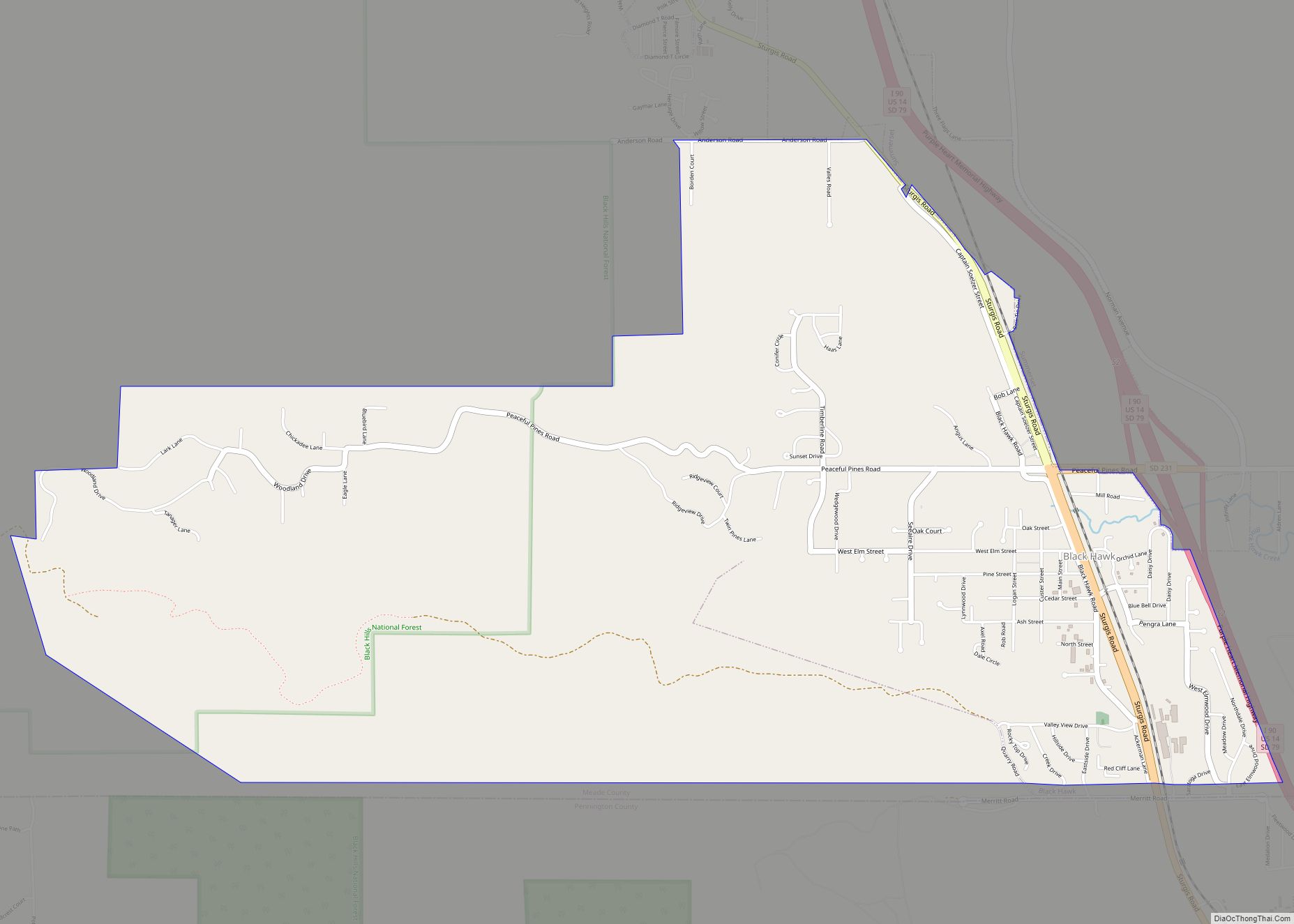
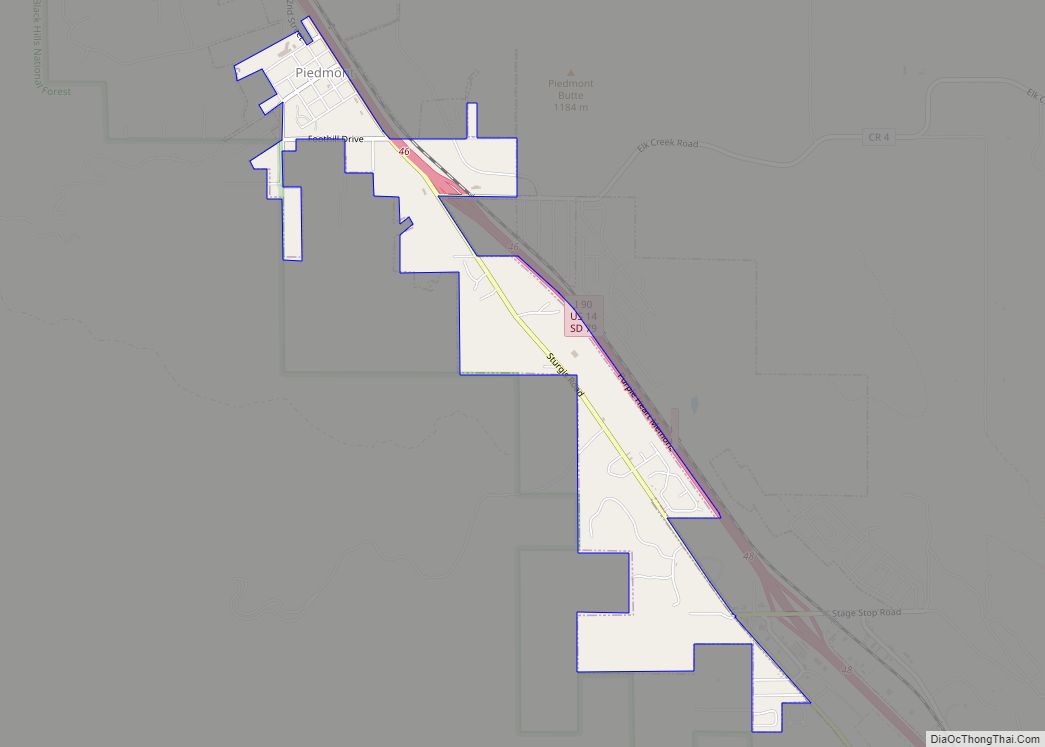
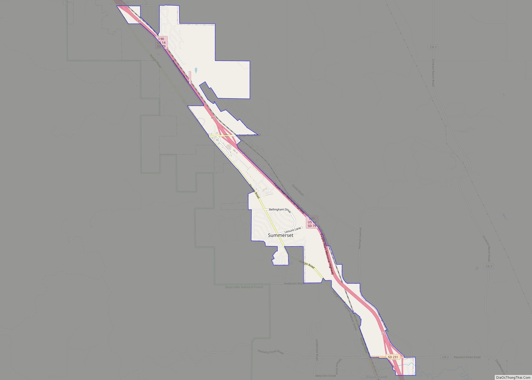
Summerset was incorporated in an election that was held on June 7, 2005. Opponents of the city’s dissolution insist a population of more than one thousand, despite the formal pre-incorporation census indicating 597 residents. The city is located west of Interstate 90, between the towns of Blackhawk and Piedmont. The city shares its zip codes of 57718 and 57769 with these two towns.
During its first year, Summerset faced a few challenges. There was confusion about the location of the city’s boundaries. A lawsuit was filed to dismiss the incorporation election; moreover, the citizens petitioned to have the town dissolved for a multitude of reasons, including high taxes; the petition failed.
This issue went to trial on September 14, 2006 in Meade County. A decision was handed down by the jury in the trial on September 15, 2006, siding with Summerset that there were indeed more than 1000 inhabitants at the time of the vote to incorporate. The plaintiff, Casey Dolney of Summerset, can appeal the decision to the South Dakota Supreme Court.
| Name: | Summerset city |
|---|---|
| LSAD Code: | 25 |
| LSAD Description: | city (suffix) |
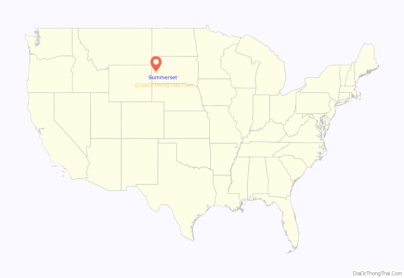
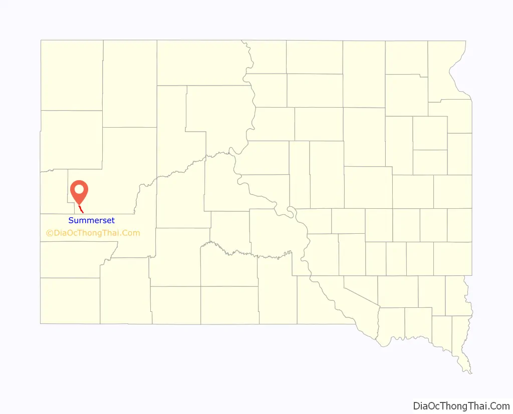
| State: | South Dakota |
| County: | Meade County |
| Elevation: | 3,579 ft (1,091 m) |
| Total Area: | 2.72 sq mi (7.05 km²) |
| Land Area: | 2.72 sq mi (7.05 km²) |
| Water Area: | 0.00 sq mi (0.00 km²) |
| Total Population: | 2,972 |
| Population Density: | 1,091.44/sq mi (421.37/km²) |
| ZIP code: | 57718 and 57769 |
| Area code: | 605 |
| FIPS code: | 4662155 |
| GNISfeature ID: | 2396001 |
Online Interactive Map
Click on ![]() to view map in "full screen" mode.
to view map in "full screen" mode.
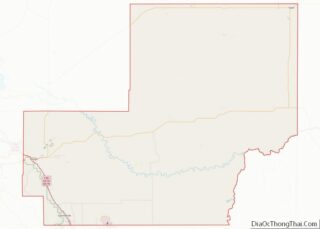
Summerset location map. Where is Summerset city?
Summerset Road Map
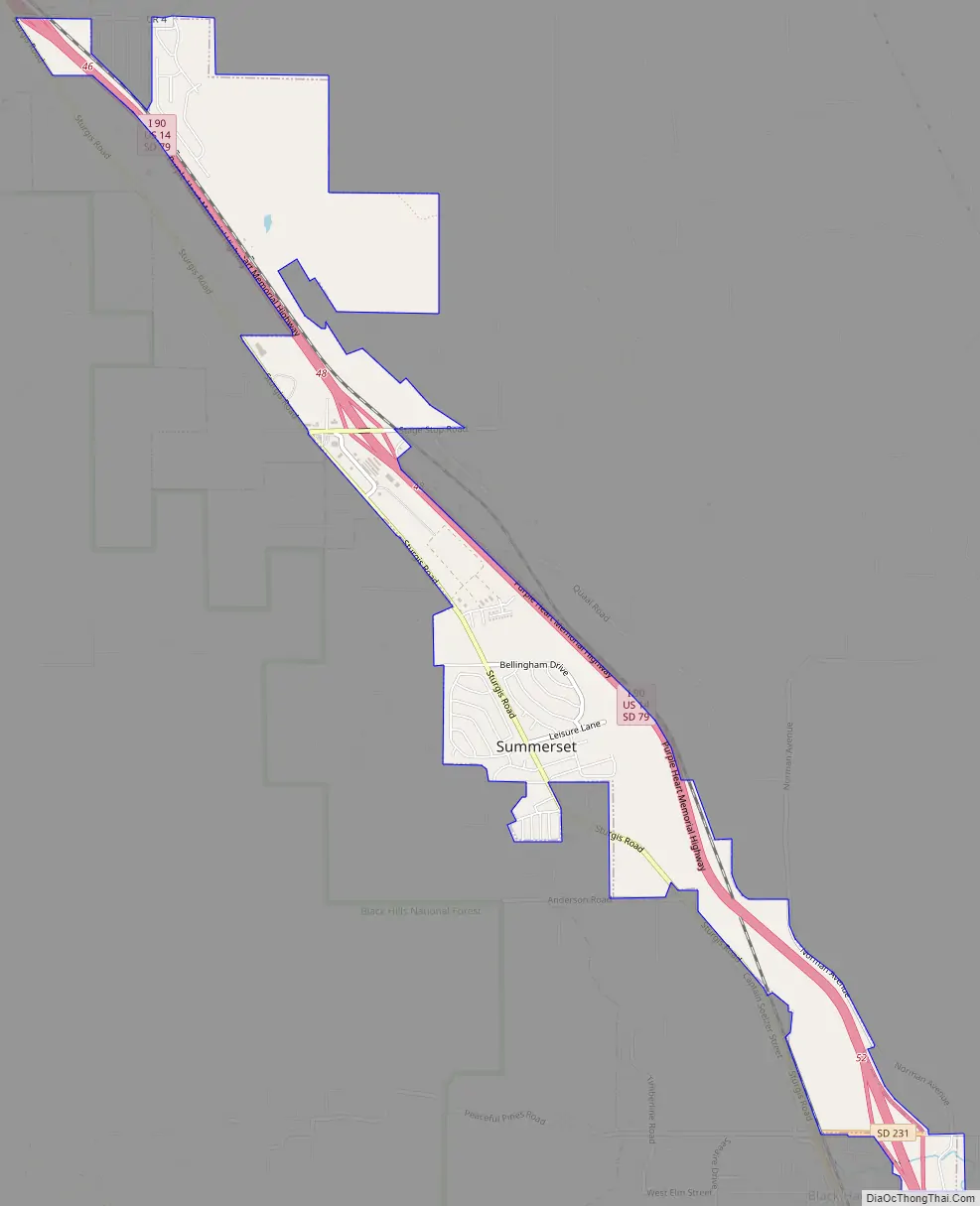
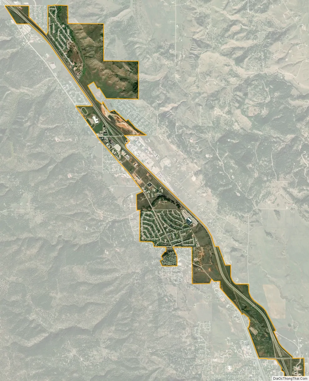
Summerset city Satellite Map
Geography
According to the United States Census Bureau, the city has a total area of 2.21 square miles (5.72 km), all land.
Summerset is part of the Rapid City, South Dakota metropolitan area, which includes Meade and Pennington counties.
See also
Map of South Dakota State and its subdivision:- Aurora
- Beadle
- Bennett
- Bon Homme
- Brookings
- Brown
- Brule
- Buffalo
- Butte
- Campbell
- Charles Mix
- Clark
- Clay
- Codington
- Corson
- Custer
- Davison
- Day
- Deuel
- Dewey
- Douglas
- Edmunds
- Fall River
- Faulk
- Grant
- Gregory
- Haakon
- Hamlin
- Hand
- Hanson
- Harding
- Hughes
- Hutchinson
- Hyde
- Jackson
- Jerauld
- Jones
- Kingsbury
- Lake
- Lawrence
- Lincoln
- Lyman
- Marshall
- McCook
- McPherson
- Meade
- Mellette
- Miner
- Minnehaha
- Moody
- Pennington
- Perkins
- Potter
- Roberts
- Sanborn
- Shannon
- Spink
- Stanley
- Sully
- Todd
- Tripp
- Turner
- Union
- Walworth
- Yankton
- Ziebach
- Alabama
- Alaska
- Arizona
- Arkansas
- California
- Colorado
- Connecticut
- Delaware
- District of Columbia
- Florida
- Georgia
- Hawaii
- Idaho
- Illinois
- Indiana
- Iowa
- Kansas
- Kentucky
- Louisiana
- Maine
- Maryland
- Massachusetts
- Michigan
- Minnesota
- Mississippi
- Missouri
- Montana
- Nebraska
- Nevada
- New Hampshire
- New Jersey
- New Mexico
- New York
- North Carolina
- North Dakota
- Ohio
- Oklahoma
- Oregon
- Pennsylvania
- Rhode Island
- South Carolina
- South Dakota
- Tennessee
- Texas
- Utah
- Vermont
- Virginia
- Washington
- West Virginia
- Wisconsin
- Wyoming