Vivian is an unincorporated community and census-designated place (CDP) in Lyman County, South Dakota, United States. The population was 98 at the 2020 census.
| Name: | Vivian CDP |
|---|---|
| LSAD Code: | 57 |
| LSAD Description: | CDP (suffix) |
| State: | South Dakota |
| County: | Lyman County |
| Elevation: | 1,905 ft (581 m) |
| Total Area: | 1.73 sq mi (4.48 km²) |
| Land Area: | 1.73 sq mi (4.48 km²) |
| Water Area: | 0.00 sq mi (0.00 km²) |
| Total Population: | 98 |
| Population Density: | 56.68/sq mi (21.89/km²) |
| ZIP code: | 57576 |
| FIPS code: | 4667620 |
| GNISfeature ID: | 2393835 |
Online Interactive Map
Click on ![]() to view map in "full screen" mode.
to view map in "full screen" mode.
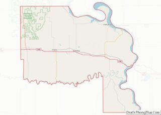
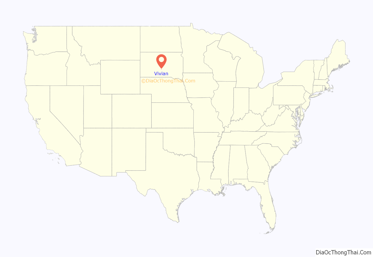
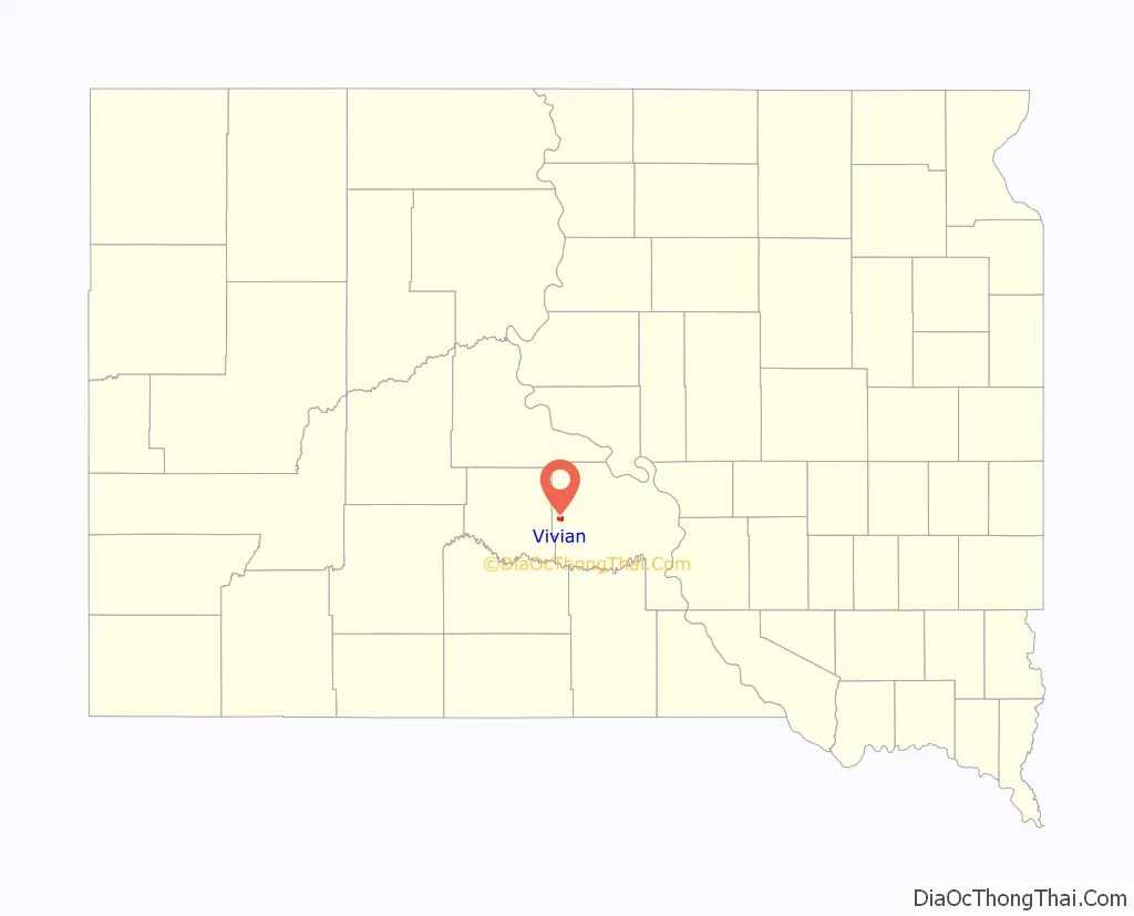
Vivian location map. Where is Vivian CDP?
History
The community is named after Vivian Hunter, the wife of an official of the Milwaukee railroad. Norman Rudolph Prahl (1919-1996), Minnesota state legislator, was born in Vivian.
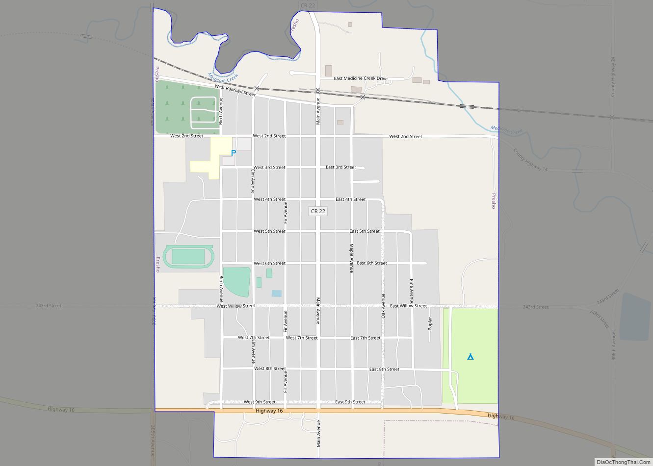
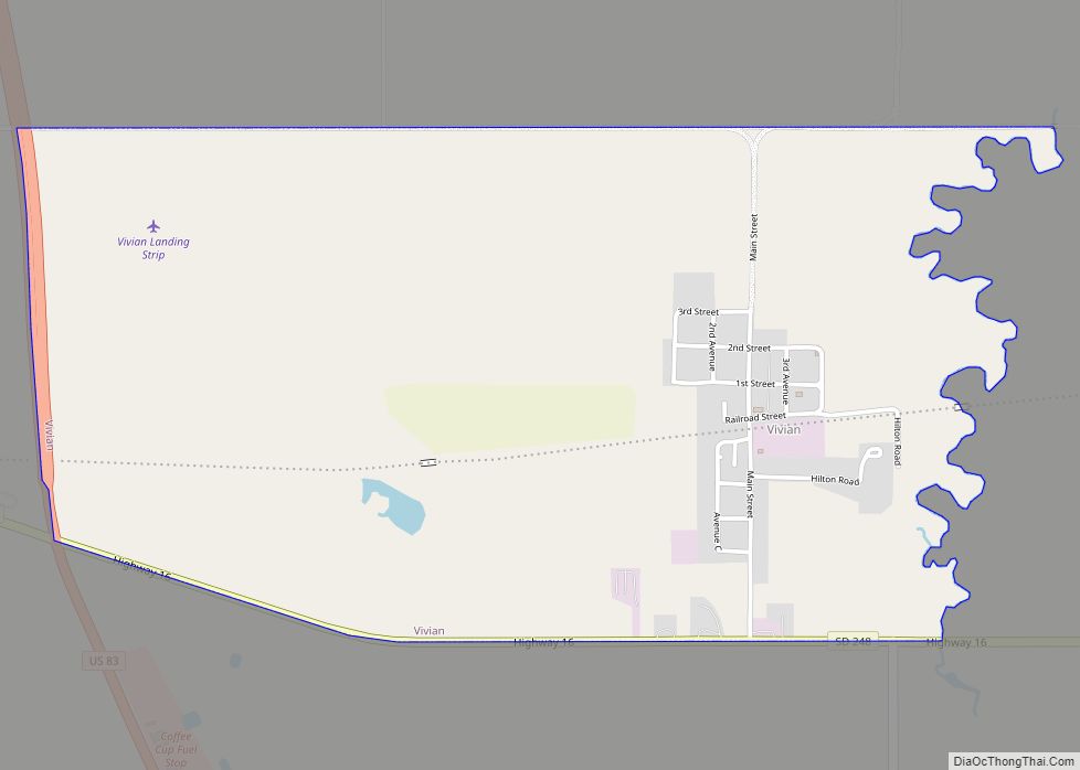
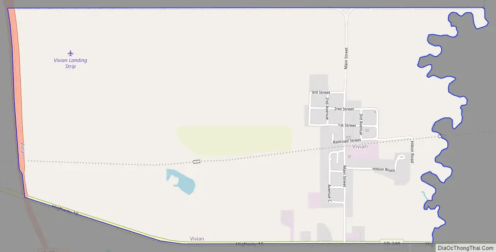
Vivian Road Map
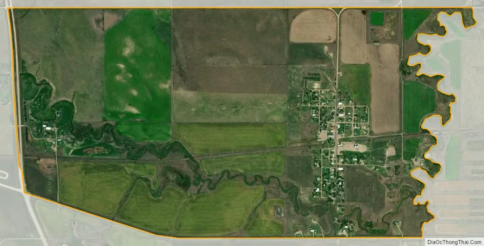
Vivian city Satellite Map
Geography
Vivian is located in western Lyman County at 43°55′35″N 100°17′33″W / 43.92639°N 100.29250°W / 43.92639; -100.29250 (43.926481, -100.292524). It is 1 mile (1.6 km) north of Interstate 90, with access from Exit 214, and 1.5 miles (2.4 km) east of U.S. Route 83. Via I-90 it is 23 miles (37 km) east to Kennebec, the Lyman county seat, and the same distance west to Murdo, the seat of neighboring Jones County. US-83 leads north 34 miles (55 km) to Pierre, the state capital.
According to the United States Census Bureau, the Vivian CDP has a total area of 1.7 square miles (4.5 km), all land. The community drains to Medicine Creek, an intermittent stream that flows east to the Missouri River.
See also
Map of South Dakota State and its subdivision:- Aurora
- Beadle
- Bennett
- Bon Homme
- Brookings
- Brown
- Brule
- Buffalo
- Butte
- Campbell
- Charles Mix
- Clark
- Clay
- Codington
- Corson
- Custer
- Davison
- Day
- Deuel
- Dewey
- Douglas
- Edmunds
- Fall River
- Faulk
- Grant
- Gregory
- Haakon
- Hamlin
- Hand
- Hanson
- Harding
- Hughes
- Hutchinson
- Hyde
- Jackson
- Jerauld
- Jones
- Kingsbury
- Lake
- Lawrence
- Lincoln
- Lyman
- Marshall
- McCook
- McPherson
- Meade
- Mellette
- Miner
- Minnehaha
- Moody
- Pennington
- Perkins
- Potter
- Roberts
- Sanborn
- Shannon
- Spink
- Stanley
- Sully
- Todd
- Tripp
- Turner
- Union
- Walworth
- Yankton
- Ziebach
- Alabama
- Alaska
- Arizona
- Arkansas
- California
- Colorado
- Connecticut
- Delaware
- District of Columbia
- Florida
- Georgia
- Hawaii
- Idaho
- Illinois
- Indiana
- Iowa
- Kansas
- Kentucky
- Louisiana
- Maine
- Maryland
- Massachusetts
- Michigan
- Minnesota
- Mississippi
- Missouri
- Montana
- Nebraska
- Nevada
- New Hampshire
- New Jersey
- New Mexico
- New York
- North Carolina
- North Dakota
- Ohio
- Oklahoma
- Oregon
- Pennsylvania
- Rhode Island
- South Carolina
- South Dakota
- Tennessee
- Texas
- Utah
- Vermont
- Virginia
- Washington
- West Virginia
- Wisconsin
- Wyoming