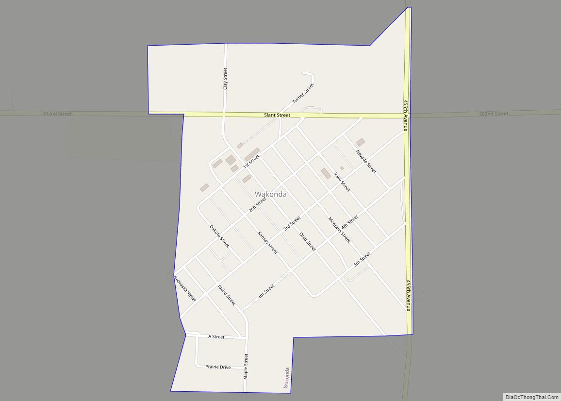
Wakonda is a town in Clay County, South Dakota, United States. The population was 347 at the 2020 census.
| Name: | Wakonda town |
|---|---|
| LSAD Code: | 43 |
| LSAD Description: | town (suffix) |
| State: | South Dakota |
| County: | Clay County |
| Elevation: | 1,391 ft (424 m) |
| Total Area: | 0.39 sq mi (1.00 km²) |
| Land Area: | 0.39 sq mi (1.00 km²) |
| Water Area: | 0.00 sq mi (0.00 km²) |
| Total Population: | 347 |
| Population Density: | 898.96/sq mi (347.03/km²) |
| ZIP code: | 57073 |
| Area code: | 605 |
| FIPS code: | 4668100 |
| GNISfeature ID: | 1258793 |
Online Interactive Map
Click on ![]() to view map in "full screen" mode.
to view map in "full screen" mode.
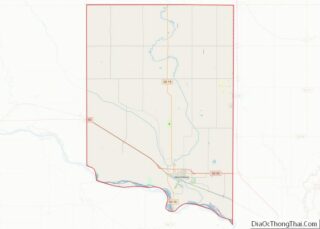
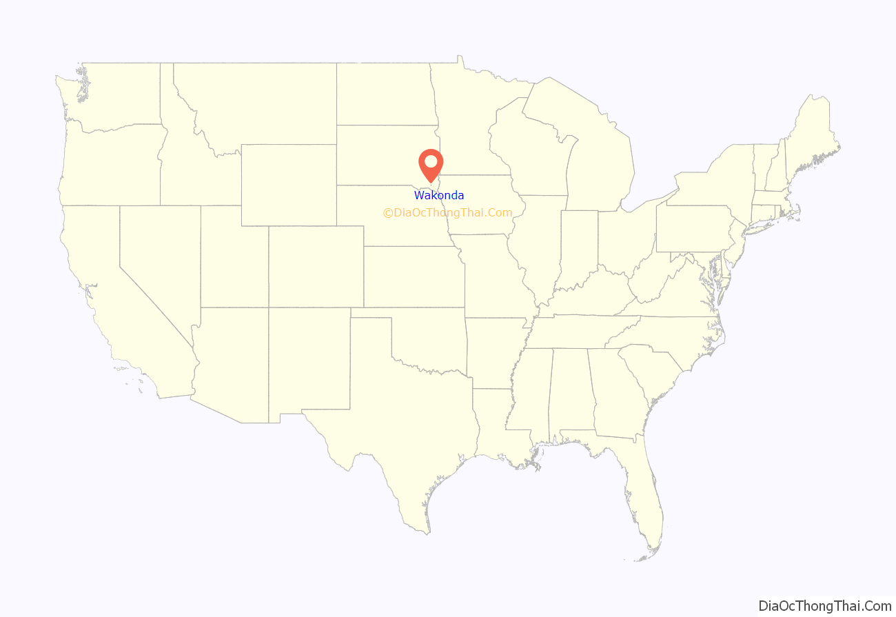
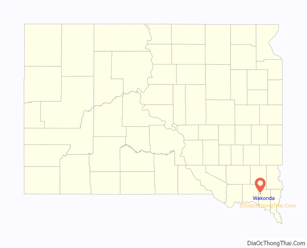
Wakonda location map. Where is Wakonda town?
History
A post office called Wakonda has been in operation since 1886. Wakonda was platted in 1888 and its name is derived from the Sioux language.
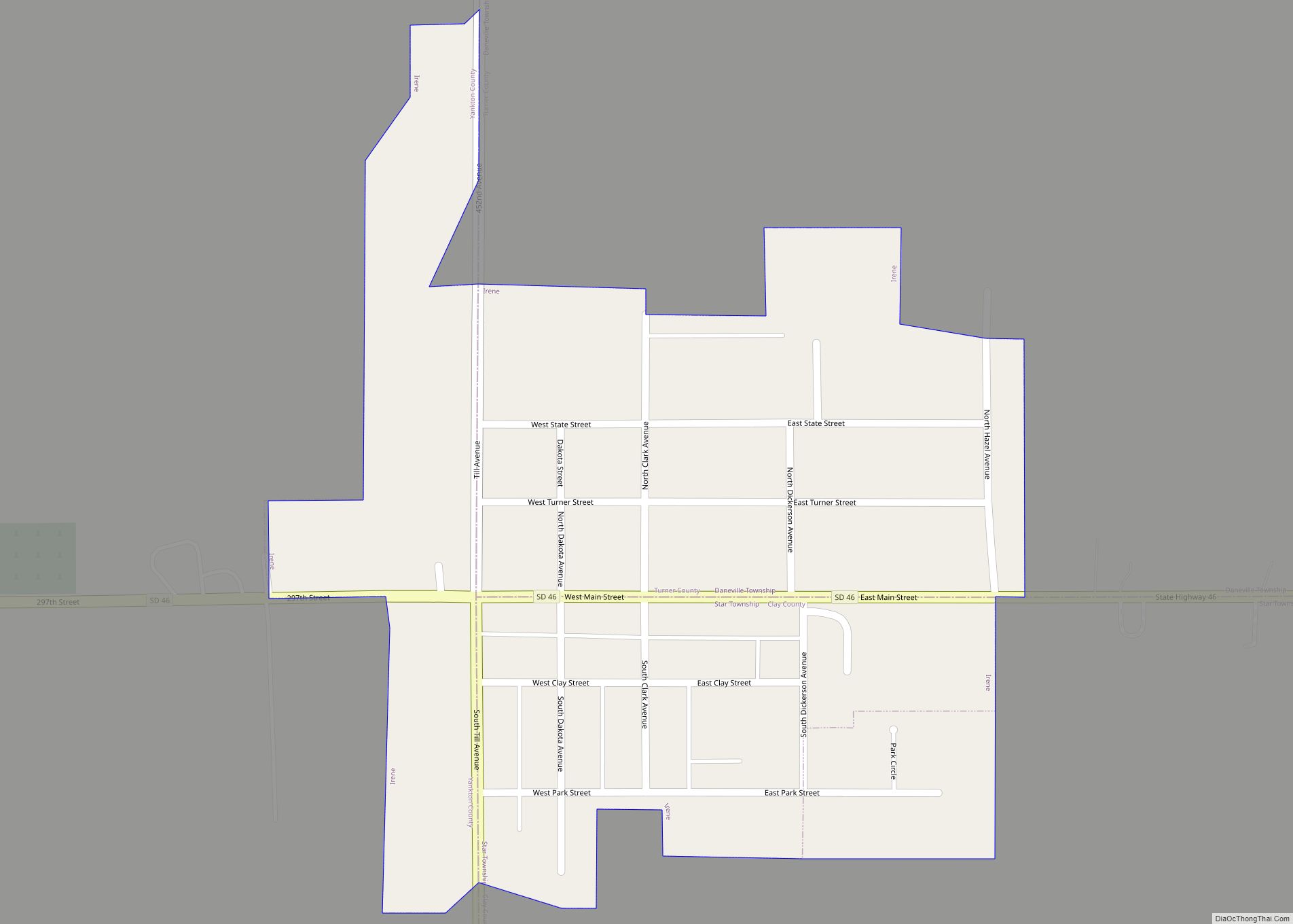
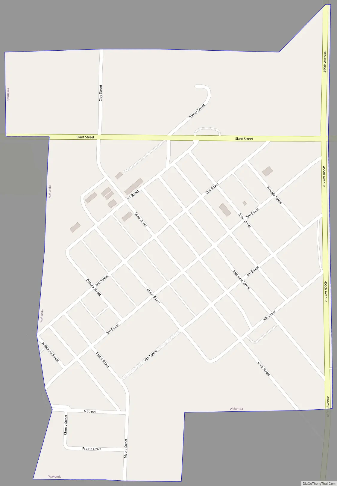
Wakonda Road Map
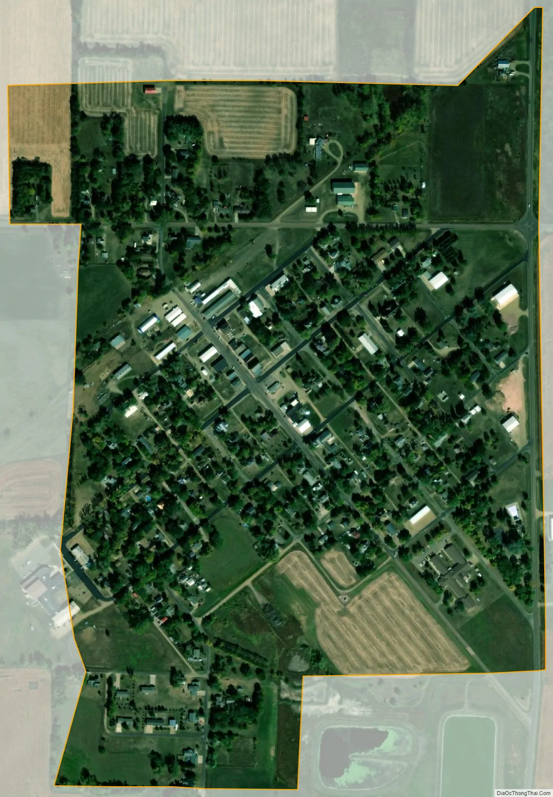
Wakonda city Satellite Map
Geography
Wakonda is located at 43°0′23″N 97°6′21″W / 43.00639°N 97.10583°W / 43.00639; -97.10583 (43.006503, -97.105747).
According to the United States Census Bureau, the town has a total area of 0.39 square miles (1.01 km), all land. Corn and soybeans are grown on the farms surrounding the town. The climate is humid continental, with hot summers and cold winters. Annual precipitation is approximately 25 inches.
Wakonda has been assigned the ZIP code 57073 and the FIPS place code 68100.
See also
Map of South Dakota State and its subdivision:- Aurora
- Beadle
- Bennett
- Bon Homme
- Brookings
- Brown
- Brule
- Buffalo
- Butte
- Campbell
- Charles Mix
- Clark
- Clay
- Codington
- Corson
- Custer
- Davison
- Day
- Deuel
- Dewey
- Douglas
- Edmunds
- Fall River
- Faulk
- Grant
- Gregory
- Haakon
- Hamlin
- Hand
- Hanson
- Harding
- Hughes
- Hutchinson
- Hyde
- Jackson
- Jerauld
- Jones
- Kingsbury
- Lake
- Lawrence
- Lincoln
- Lyman
- Marshall
- McCook
- McPherson
- Meade
- Mellette
- Miner
- Minnehaha
- Moody
- Pennington
- Perkins
- Potter
- Roberts
- Sanborn
- Shannon
- Spink
- Stanley
- Sully
- Todd
- Tripp
- Turner
- Union
- Walworth
- Yankton
- Ziebach
- Alabama
- Alaska
- Arizona
- Arkansas
- California
- Colorado
- Connecticut
- Delaware
- District of Columbia
- Florida
- Georgia
- Hawaii
- Idaho
- Illinois
- Indiana
- Iowa
- Kansas
- Kentucky
- Louisiana
- Maine
- Maryland
- Massachusetts
- Michigan
- Minnesota
- Mississippi
- Missouri
- Montana
- Nebraska
- Nevada
- New Hampshire
- New Jersey
- New Mexico
- New York
- North Carolina
- North Dakota
- Ohio
- Oklahoma
- Oregon
- Pennsylvania
- Rhode Island
- South Carolina
- South Dakota
- Tennessee
- Texas
- Utah
- Vermont
- Virginia
- Washington
- West Virginia
- Wisconsin
- Wyoming