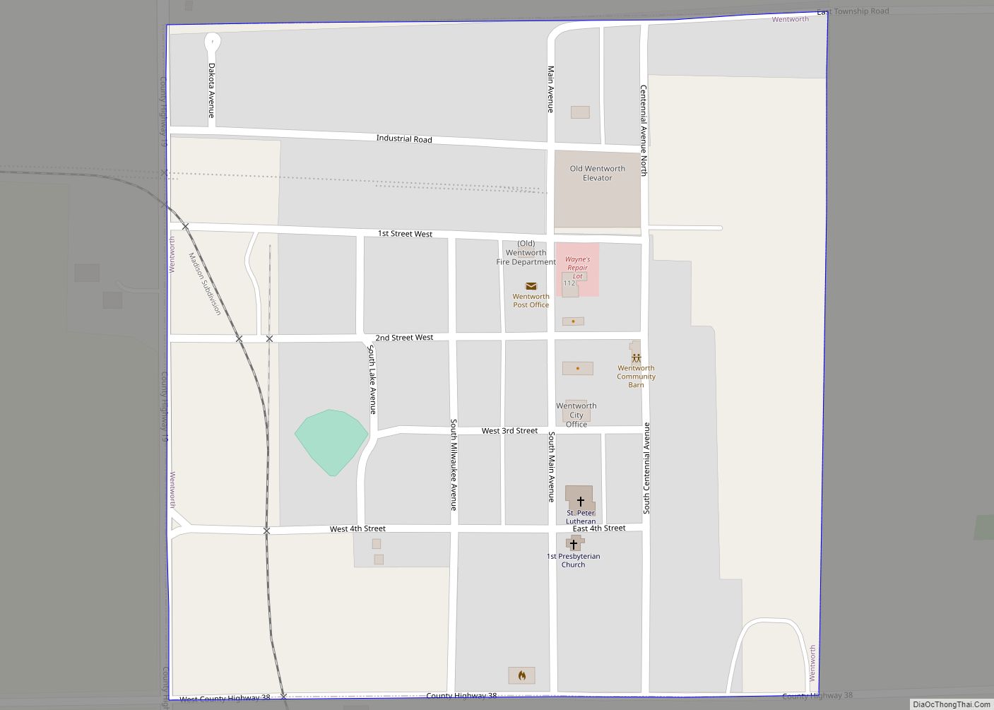
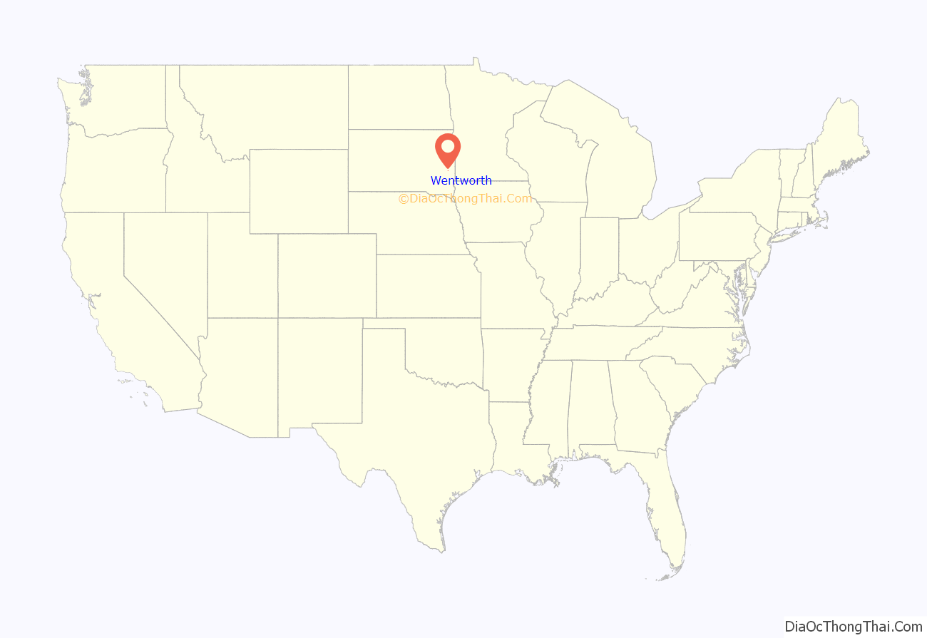
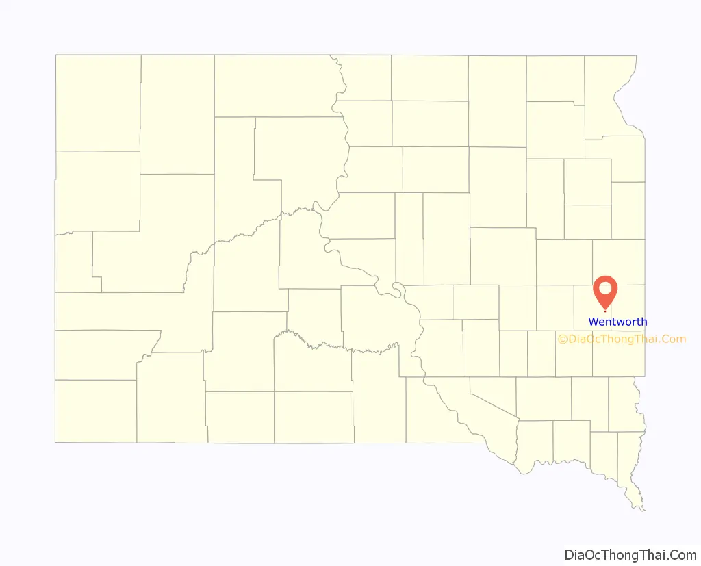
Wentworth is an incorporated village in Lake County, South Dakota, United States. It is the only incorporated village in the state of South Dakota. The population was 181 at the 2020 census.
| Name: | Wentworth village |
|---|---|
| LSAD Code: | 47 |
| LSAD Description: | village (suffix) |
| State: | South Dakota |
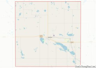
| County: | Lake County |
| Incorporated: | 1896 |
| Elevation: | 1,699 ft (518 m) |
| Total Area: | 0.25 sq mi (0.66 km²) |
| Land Area: | 0.25 sq mi (0.66 km²) |
| Water Area: | 0.00 sq mi (0.00 km²) |
| Total Population: | 181 |
| Population Density: | 712.60/sq mi (275.19/km²) |
| ZIP code: | 57075 |
| Area code: | 605 |
| FIPS code: | 4670020 |
| GNISfeature ID: | 1265413 |
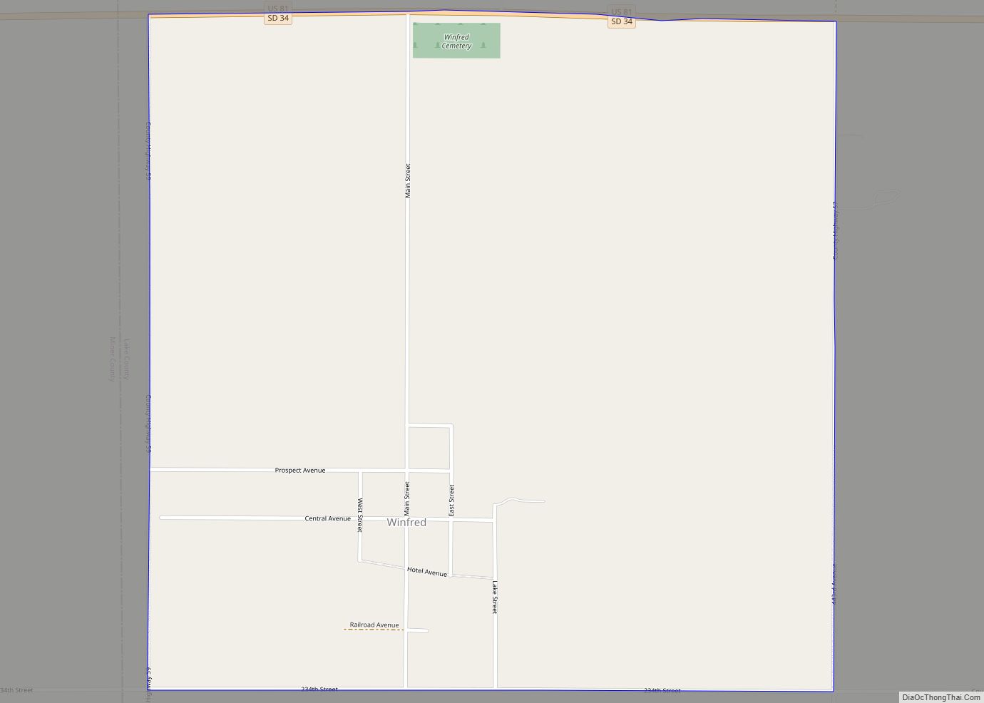
Online Interactive Map
Click on ![]() to view map in "full screen" mode.
to view map in "full screen" mode.
Wentworth location map. Where is Wentworth village?
History
Wentworth was platted in 1881, and named for the local Wentworth family, the original owner of the town site. It is known for being the mailing address of the cabins and vacation homes around Lake Madison, South Dakota.
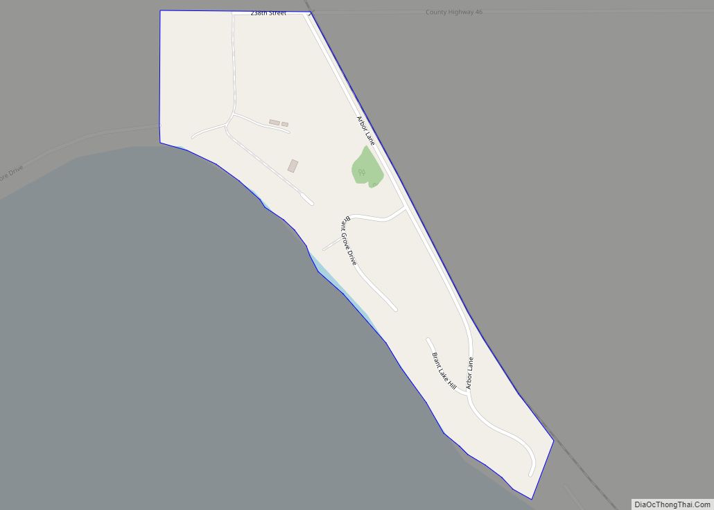
Wentworth Road Map
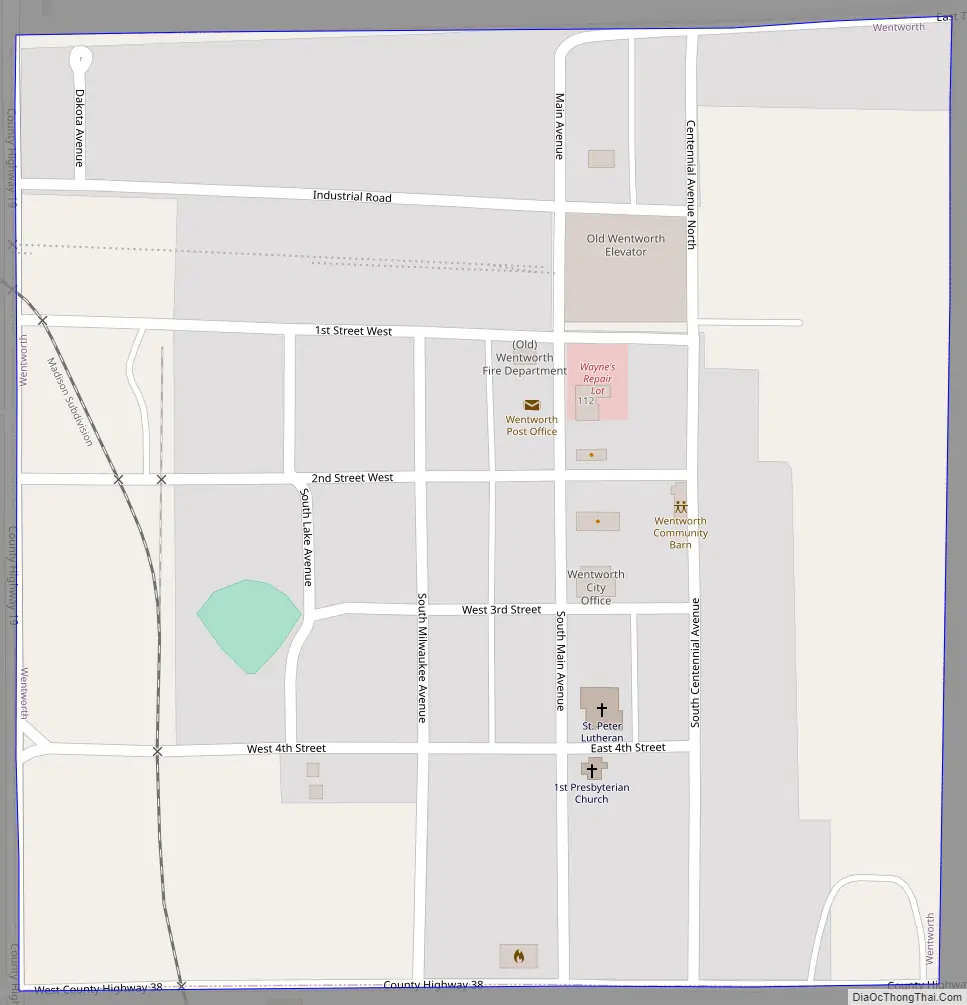
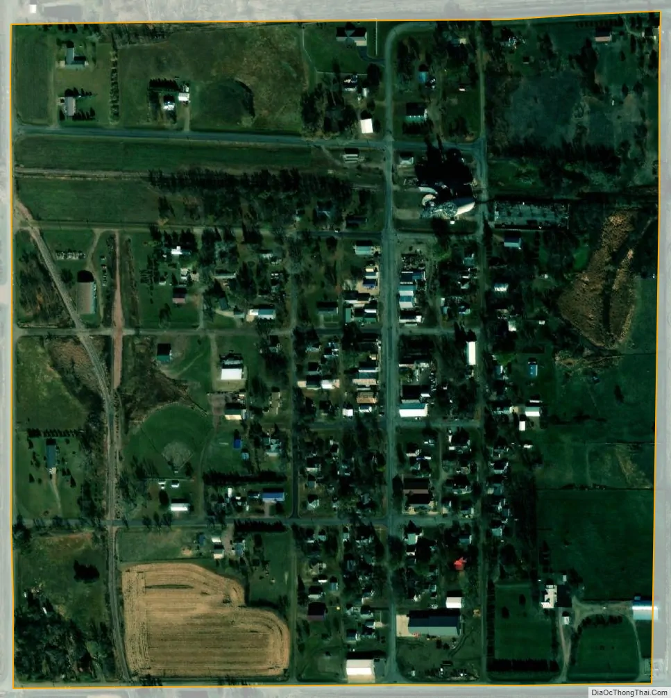
Wentworth city Satellite Map
Geography
Wentworth is located at 43°59′48″N 96°57′58″W / 43.99667°N 96.96611°W / 43.99667; -96.96611 (43.996803, -96.966092).
According to the United States Census Bureau, the village has a total area of 0.25 square miles (0.65 km), all land.
Wentworth has been assigned the ZIP code 57075 and the FIPS place code 70020.
The town is near Milwaukee Lake.
See also
Map of South Dakota State and its subdivision:- Aurora
- Beadle
- Bennett
- Bon Homme
- Brookings
- Brown
- Brule
- Buffalo
- Butte
- Campbell
- Charles Mix
- Clark
- Clay
- Codington
- Corson
- Custer
- Davison
- Day
- Deuel
- Dewey
- Douglas
- Edmunds
- Fall River
- Faulk
- Grant
- Gregory
- Haakon
- Hamlin
- Hand
- Hanson
- Harding
- Hughes
- Hutchinson
- Hyde
- Jackson
- Jerauld
- Jones
- Kingsbury
- Lake
- Lawrence
- Lincoln
- Lyman
- Marshall
- McCook
- McPherson
- Meade
- Mellette
- Miner
- Minnehaha
- Moody
- Pennington
- Perkins
- Potter
- Roberts
- Sanborn
- Shannon
- Spink
- Stanley
- Sully
- Todd
- Tripp
- Turner
- Union
- Walworth
- Yankton
- Ziebach
- Alabama
- Alaska
- Arizona
- Arkansas
- California
- Colorado
- Connecticut
- Delaware
- District of Columbia
- Florida
- Georgia
- Hawaii
- Idaho
- Illinois
- Indiana
- Iowa
- Kansas
- Kentucky
- Louisiana
- Maine
- Maryland
- Massachusetts
- Michigan
- Minnesota
- Mississippi
- Missouri
- Montana
- Nebraska
- Nevada
- New Hampshire
- New Jersey
- New Mexico
- New York
- North Carolina
- North Dakota
- Ohio
- Oklahoma
- Oregon
- Pennsylvania
- Rhode Island
- South Carolina
- South Dakota
- Tennessee
- Texas
- Utah
- Vermont
- Virginia
- Washington
- West Virginia
- Wisconsin
- Wyoming